support@meisterdrucke.com  ·  0043 4257 29415

Deutsch English Italiano Español Français Nederlands Português Svenska Polski Dansk
Search by artist, work title or style – e.g. Monet, Starry Night, Impressionism, Hokusai wave, nude. Describe the scene – e.g. green meadow, abstract with lots of red, dark oil painting, standing nude next to a tree.

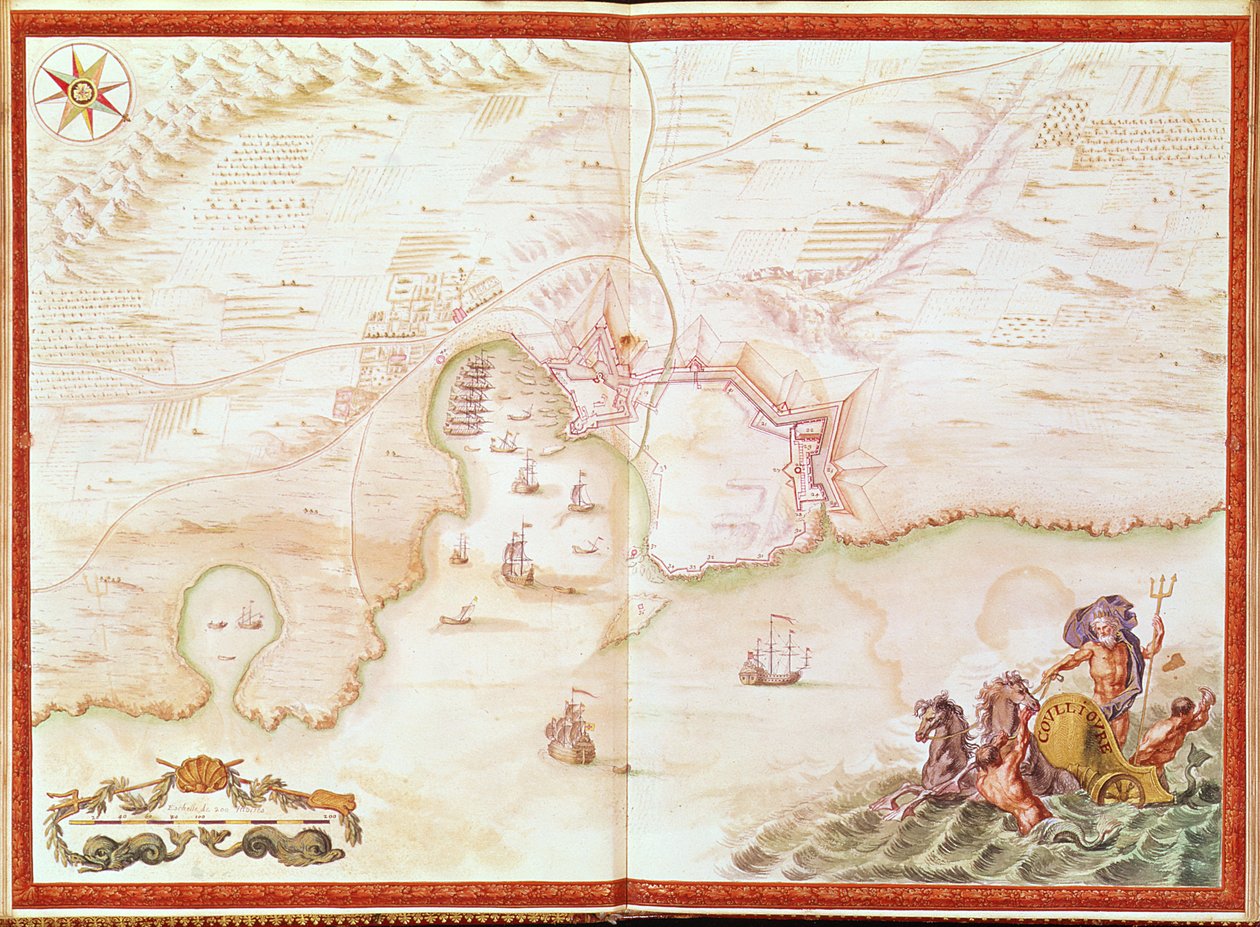
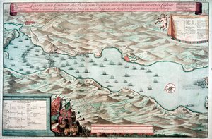
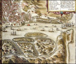
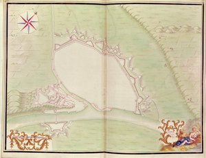
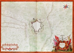
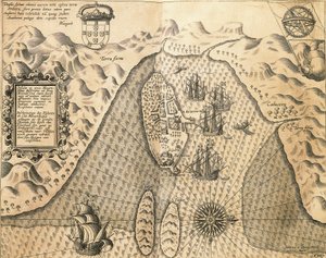
Ms. 986, Vol. 1, 'Louis XIV Atlas', map of Collioure, 1683-88 by Sebastien Le Prestre de Vauban

Ms. 986, Vol. 1, 'Louis XIV Atlas', map of Collioure, 1683-88

(Ms. 986, Vol.1 'Louis XIV Atlas', map of Collioure, 1683-88)


Sebastien Le Prestre de Vauban

€ 145.9
Includes 13.5% VAT
   Configure art print
1688  ·  Image ID: 93899

Nonclassified artists  ·  Cartography

Ms. 986, Vol. 1, 'Louis XIV Atlas', map of Collioure, 1683-88 by Sebastien Le Prestre de Vauban. Available as an art print on canvas, photo paper, watercolor board, natural paper, or Japanese paper.
religious wars · coast · coastal · fortification · defensive wall · france · french · royal · book · Min. Defense - Service Historique de l'Armee de Terre,France / Bridgeman Images
AR/3D   View in 3D / AR zu Favoriten hinzufügen   Add to favorites    Change wall color    View picture in a room
0 Reviews

Configure art print

Picture Frame

Medium & Stretcher

Glass & Passepartout

Miscellaneous & Extras

 Save / compare configuration
Preview Icon

Summary

Gemälde
Veredelung
Keilrahmen
Museumslizenz

€ 145.9
(inkl. 20% MwSt)
   Add to cart

Bildschärfe: PERFEKT

If you'd like us to adjust the brightness, colors, or crop the image, we're happy to do this for you at no extra cost. Just get in touch!

Similar artworks selected for you

Coasts of Mozambique from The East Indies City of Goa in India, Engraving by Theodor de Bry from Travel account of the voyage of the sailor Jan Huyghen van Linschoten to Portuguese East India 1579-1592 A Plan of Mont-Louis, from Ms. 986, Vol. 1, Plan and Map of Cambrai, from the “Atlas Louis XIV”, 1683-88 St Augustine Map depicting the destruction of the Spanish colony of St. Augustine in Florida on 7th July 1586 by the English fleet commanded by Sir Francis Drake (1540-96), 1589 Ms 988 volume 3 fol.31 Map of Concarneau, from the ’Atlas Louis XIV’, 1683-88 Battle of Vigo Bay, Spain, 12 October 1702 Goa. According to the Atlas Ms 988, volume 3, fol. 45, plan and map of the town and citadel of Bayonne, from the Ms 988 volume 3 fol. 33 Map of the town and citadel of Belle-Île, from the “Atlas Louis XIV”, 1683-88 Augustine from Drakes West Indian Voyage 1585 - 86 Battle of Ter won by the King A coloured chart of Plymouth Harbour, and of the country up to Tavistock; drawn possibly by Robert Spry Map of the St. Lawrence Estuary Denmark - in View of the Strait of Gibraltar and Surroundings, with the Trenches of the Siege in 1704 A Map of the Country and City of Panama. Part. 3 : Chap : 5. (engraving) Plan of Le Havre, from the Isle of Ven and Uranienborg, the palace and observatory of Tycho Brahe (engraving) Chart of Algiers Bay ’Map of New England, Being the first that ever was here cut...’, 1677 Old Fort Gaut, Calcutta View of the Siege of Gibraltar in 1704 Namur, from Atlas de Louis XIV. Plans des places etrangeres, 1665 General View of the Battle of Szigetvár, 1566 Map of Marsal, from the Atlas de Louis XIV Hot Summer Day at Numbers 105 & 107 View-Plan of Santiago, Cape Verde Islands, Showing Sir Francis Drake
Show more similar artworks

More art prints by Sebastien Le Prestre de Vauban

Ms. 986, Vol. 1, Square Fort in Antibes, Fortification by Vauban (17th Century) Ms. 986, Vol. 1, Plan and Map of Cambrai, from the “Atlas Louis XIV”, 1683-88 Ms 988, volume 3, fol. 45, plan and map of the town and citadel of Bayonne, from the Ms 988 Vol. 3 fol. 29, Map and plan of Saint-Malo, from the Map of Paris and its Surroundings, from Ms. 986, Vol. 3, fol. 63 Plan and Map of Toulon, from the “Atlas Louis XIV”, 1683-88 Ms. 988 Vol. 3, fol. 61 Ms 988 Volume 3 fol. 14, Map of Rocroi, from ’Atlas de Louis XIV’, 1683-88 Ms. 988, Volume 3, fol. 39: Map of the town and citadel of Saint-Martin, Île de Ré, from the „Atlas Louis XIV“, 1683-88 Ms 988 volume 3 fol.31 Map of Concarneau, from the ’Atlas Louis XIV’, 1683-88 Ms 988 volume 3 fol. 33 Map of the town and citadel of Belle-Île, from the “Atlas Louis XIV”, 1683-88 Ms. 988, Vol.3 fol.10 Map of Saint-Quentin, from the ’Atlas Louis XIV’, 1683-88 Ms. 988, Vol. 3, fol. 7 Plan and Map of the Town, Citadel and Surroundings of Amiens, from the ’Atlas Louis XIV’, 1683-88 Ms. 987, Vol.2 fol.63 Plan of Toulon, from the
Show more works by Sebastien Le Prestre de Vauban

More motifs from the category Cartography

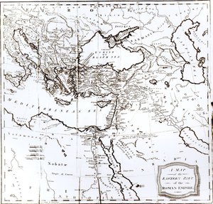
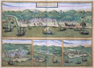
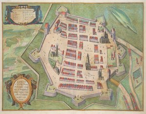
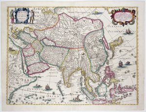
Map of Asia, from the Map of Wilnis, from ’Civitates Orbis Terrarum’ by Georg Braun (1541-1622) and Frans Hogenberg (1535-90), c.1572-1617 Map of the Eastern Part of the Roman Empire, from Fol.56v Map of Florida, Canada and Labrador, from Map of South West Point, Virginia, from ’Guerre de l’Amérique’, 1782 Map of Calicut, from Patagonia, from a Series of World Maps published by John Tallis and Co., New York and London, 1850s Miniature Nautical Map of the Adriatic, 1624 Fol. 99 Map of Saint-Savinien on the Charente River in 1713, from Map of Zamość, from The Countye Palatine of Chester, engraved by Jodocus Hondius (1563-1612) from John Speed Map of Bermuda General map including Arabia, Japan, the Korean peninsula and the greater part of the Indonesian archipelago, 1631 Map of Armenia Map of the Southern Sky, with representations of constellations, decorated with the crest of Cardinal Lang von Wellenburg, and a dedication to him with his coats of arms and the Imperial copyright, 15
View More from "Cartography"

A selection of our top sellers

First Steps The Two Crowns Woman at a Window The Ascent into the Heavenly Paradise The Yellow Books, 1887 Bell Rock Lighthouse Blooming Chestnut Tree Architects Dream The School Examination Sails on the Sea, Valencia Scenography for “The Magic Flute”, opera by Wolfgang Amadeus Mozart, realised by Karl Schinkel (1781-1841) Water Serpents II Trail in the woods, c. 1874-77 The Moret Bridge in the Summer, 1888 The Magpie
Show more artworks


What our customers think about us


Frequently Asked Questions about Meisterdrucke


Personalizing your art print at Meisterdrucke is simple and intuitive: Choose a frame, set the image size, pick a printing medium, and add suitable glazing or a stretcher frame. We also offer additional customization options like mats, fillets, and spacers. If you have any questions, our customer service team is ready to help you create your perfect artwork.

At Meisterdrucke, you can visualize your configured artwork directly in your own room. Simply upload a photo of your space and see how the artwork looks in it. If you're visiting us on a mobile device — phone or tablet — our augmented reality feature brings the picture to life and projects it right into your room. A unique experience that combines art and technology.

Choosing the right medium is often a matter of personal taste. To give you a better idea, we've provided some images for each medium. We also offer a sample set of all paper variants, so you can decide not just visually but by touch as well. You can order the sample set free of charge — only shipping costs apply.

Don't worry! At Meisterdrucke, we don't just process orders mechanically. Every order is manually reviewed by our team. If we spot any inconsistencies or issues with your configuration, we'll get in touch with you right away. And of course, our friendly and patient support team is always here to help you with your configuration. We'll work with you by phone or email to adjust your image so the final result is exactly what you had in mind.


Still have questions?

Are you interested in an art print from our manufactory but still unsure? Do you need advice on choosing the medium or help with the order?

Our experts are happy to assist you.

+43 4257 29415
support@meisterdrucke.com

Mo-Do: 7:00 - 16:00 | Fr: 7:00 - 13:00

Still have questions?

Are you interested in an art print from our manufactory but still unsure? Do you need advice on choosing the medium or help with the order?

Our experts are happy to assist you.

+43 4257 29415
support@meisterdrucke.com
Mo-Do: 7:00 - 16:00 | Fr: 7:00 - 13:00


Meisterdrucke

   Kärntner Strasse 46
        9586 Finkenstein am Faaker See
        Austria
        +43 4257 29415
        support@meisterdrucke.com
Other languages

                   
Erfahrungen & Bewertungen zu Meisterdrucke
Post.at DHL Express Quehenberger Cargoboard
Kaiser Franz Joseph

Meisterdrucke
Kärntner Strasse 46
9586 Finkenstein am Faaker See · Austria
+43 4257 29415 · support@meisterdrucke.com
Post.at DHL Express Quehenberger Cargoboard


(c) 2026 meisterdrucke.ie