-
 ×
- Home
- Art Prints ▸
- Artists ▸
- Categories ▸
- Art Styles ▸
- Picture Frame ▸
- All decorative frames
- Baroque decorative frames
- Simple decorative frames
- Rustic decorative frames
- Floating frames
- Golden decorative frames
- Silver decorative frames
- White decorative frames
- Black decorative frames
- Wood-look decorative frames
- Shabby chic decorative frames
- Thin decorative frames
- Thick decorative frames
- Print Media ▸
- All print media
- Canvas Leonardo (satin)
- Canvas Salvador (matte)
- Canvas Raphael (matte)
- FineArt Photo Matte
- FineArt Photo Satin
- FineArt Photo Baryte
- FineArt Photo Glossy
- Watercolor Paper Munch
- Watercolor Paper Renoir
- Watercolor Paper Turner
- Watercolor Paper Dürer
- Natural Line Hemp
- Natural Line Rice
- Kozo White, 110g
- Kozo Natural, 110g
- Inbe White, 125g
- Unryu, 55g
- Bamboo, 110g
- Premio Unryu, 165g
- Murakumo Natural, 42g
- Bizan Natural, 300g
- Bizan White, 300g
- Aluminum composite 3mm
- Acrylic glass 5mm
- Order Sample Set
- Which print medium is right for you?
Canvas
Photo Paper
Watercolor Board
Natural Line
Japanese Paper
Special Media
More information
- Help & Service ▸
- Contact us
- Sell your art
- Frequently Asked Questions
- Job Openings
- Complaint
- Order Samples
- Order Vouchers
- Shipping costs
- Production time
- Sustainability
- Image research
- Special requests
- Who are we?
- Pricing policy
- Company policy
- Quality promise
- Awards
- Stretcher frame
- Mats
- Decorative frames
- Glazing
- Fillets
- Mounting systems
- Print media
- Care tips
- Legal Notice
- Terms & Conditions
- Privacy Policy
- Right of Cancellation
Info & Service
More information
Good to know
Legal information
- Shop ▸
- Contact





.jpg)
 View in 3D / AR
 Add to favorites
 Change wall color
 View picture in a room
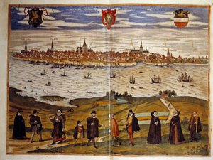
.jpg "General view of Rostock, Germany (engraving)")
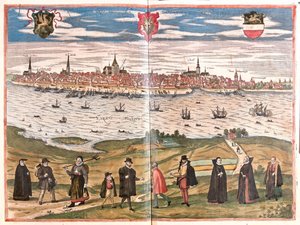
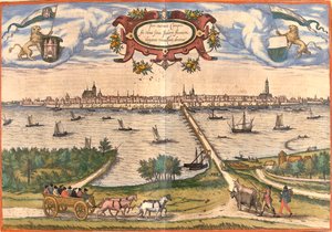
_Netherlands_(etching_-_(MeisterDrucke-1030465).jpg "View of Nimegue, Netherlands")
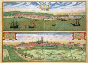
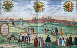
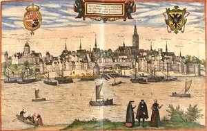
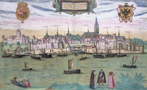
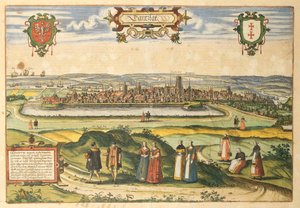
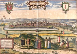
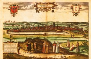
_(present-day_Gdansk)_Poland_(etching_-_(MeisterDrucke-948576).jpg "View of Dantzig (present-day Gdansk), Poland")
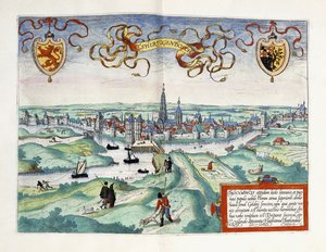
_Netherlands_(etching_-_(MeisterDrucke-982811).jpg "View of Kampen, Netherlands")
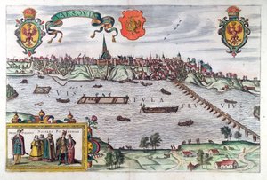
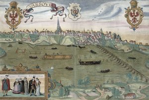
_Brau_-_Warsaw_Poland_(engraving_-_(MeisterDrucke-1056633).jpg "Warsaw, Poland (engraving)")
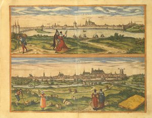
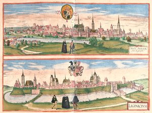
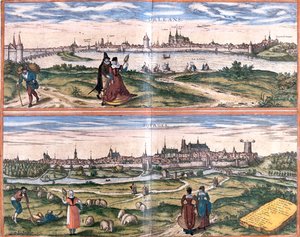
.jpg "Views of Orleans and Bourges, France")
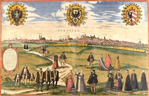






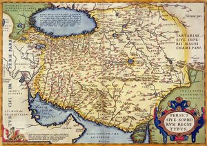
 - (MeisterDrucke-52014).jpg "Map of North West Point, Virginia, from Guerre de l’Amerique, 1782")
.jpg "Ms. 986, Vol. 1,")
 - (MeisterDrucke-102048).jpg "Map of Paris, 1620 (detail of 285193)")
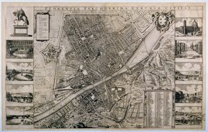
 (c90-168 AD) - (MeisterDrucke-65091).jpg "Map of the World, Based on Descriptions and Coordinates Given in “Geographia”, by Ptolemy (Claudius Ptolemaeus of Alexandria) (c. 90-168 AD)")
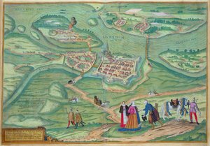
.jpg "Miniature Nautical Map of the Central Mediterranean, 1560")
 - (MeisterDrucke-55603).jpg "Map of the Adriatic Sea")
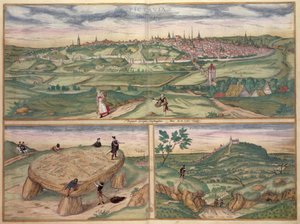
.jpg "Wyld’s Official Map of the Suez Maritime Canal, 1869")
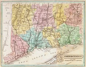
 - (MeisterDrucke-112965).jpg "Map of the Russian Empire, 1588")
.jpg "Map of Lake Ontario")
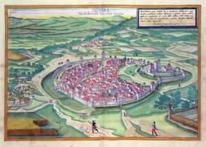
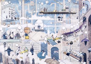
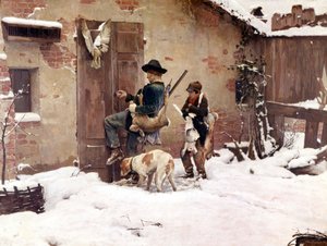


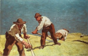
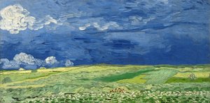
.jpg "Dante and Virgil")
 c1865 - (MeisterDrucke-76268).jpg "The Road to Bas-Bréau, Fontainebleau (Le Pavé de Chailly), c. 1865")
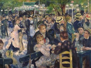
.jpg "Philosophy")
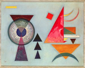

.jpg "Flying Kites")
.jpg "Wisteria, 1919-20")

 +43 4257 29415
 support@meisterdrucke.com
 Mo-Do: 7:00 - 16:00 | Fr: 7:00 - 13:00






