support@meisterdrucke.com  ·  0043 4257 29415

Deutsch English Italiano Español Français Nederlands Português Svenska Polski Dansk
Search by artist, work title or style – e.g. Monet, Starry Night, Impressionism, Hokusai wave, nude. Describe the scene – e.g. green meadow, abstract with lots of red, dark oil painting, standing nude next to a tree.

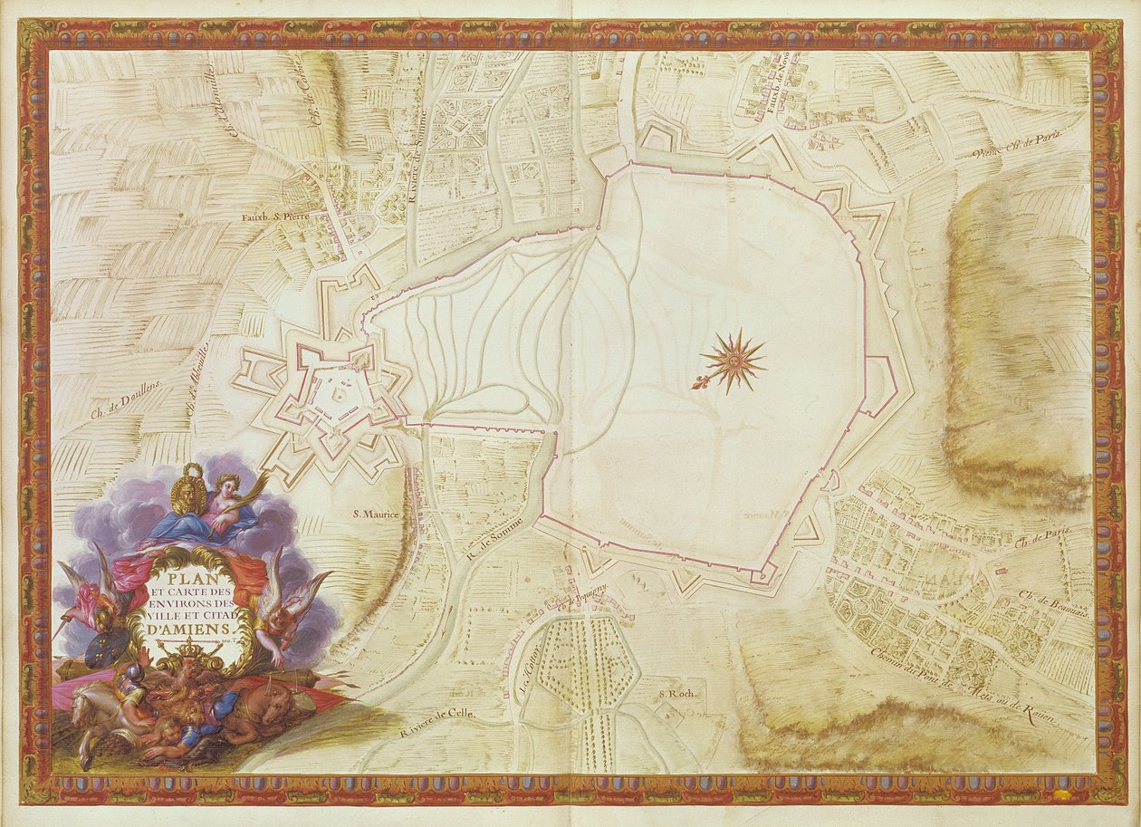
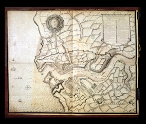
Ms. 988, Vol. 3, fol. 7 Plan and Map of the Town, Citadel and Surroundings of Amiens, from the ’Atlas Louis XIV’, 1683-88 by Sebastien Le Prestre de Vauban

Ms. 988, Vol. 3, fol. 7 Plan and Map of the Town, Citadel and Surroundings of Amiens, from the ’Atlas Louis XIV’, 1683-88

(Ms. 988, Vol.3 fol.7 Plan and Map of the town, citadel and surroundings of Amiens, from the 'Atlas Louis XIV', 1683-88 )


Sebastien Le Prestre de Vauban

€ 146.79
Includes 13.5% VAT
   Configure art print
1685  ·  Gouache on paper  ·  Image ID: 116601

Nonclassified artists  ·  Cartography

Ms. 988, Vol. 3, fol. 7 Plan and Map of the Town, Citadel and Surroundings of Amiens, from the ’Atlas Louis XIV’, 1683-88 by Sebastien Le Prestre de Vauban. Available as an art print on canvas, photo paper, watercolor board, natural paper, or Japanese paper.
carte · fortified city · town · bastion · france · citadelle · environs · fortress · fortification · star defence system · Min. Defense - Service Historique de l'Armee de Terre,France / Bridgeman Images
AR/3D   View in 3D / AR zu Favoriten hinzufügen   Add to favorites    Change wall color    View picture in a room
0 Reviews

Configure art print

Picture Frame

Medium & Stretcher

Glass & Passepartout

Miscellaneous & Extras

 Save / compare configuration
Preview Icon

Summary

Gemälde
Veredelung
Keilrahmen
Museumslizenz

€ 146.79
(inkl. 20% MwSt)
   Add to cart

Bildschärfe: PERFEKT

If you'd like us to adjust the brightness, colors, or crop the image, we're happy to do this for you at no extra cost. Just get in touch!

Similar artworks selected for you

Plan and Map of Cambrai, from the Plan and Map of the Town and Castle of Sedan, from the Atlas Louis XIV, 1683-88 Plan and Map of the Town and Citadel of Bayonne, from the Namur, from Atlas de Louis XIV. Plans des places etrangeres, 1665 Plan of Le Havre, from the Map of Marsal, from the Atlas de Louis XIV Plan of the Citadel of Turin During the Siege of 1640 Plan of Rochefort and its surroundings, from the Ghent, Belgium, Husson P., B&W Map of Saint-Quentin, from the Map of Jerusalem, from Namur and the surrounding area, from Atlas de Louis XIV. Plans des places etrangeres, 1665 Plan of the City of Vienna Siege of Béthune, 1710 Plan of the City of Douay with the Fort about 800 Rods Away on the Escarpe, Located in the County of Flanders, 7 Miles from Lille, 6 from Tournai and 6 from Cambrai, with Many Beautiful Churches Siege of Ghent, 1708 Plan of Lisle Siege of Leuven by the Dutch and French armies Plan of the Port and Arsenal of Brest, 1676 Map of Cochin, India Map of the Battle at Narva City of Goa in India, Engraving by Theodor de Bry from Travel account of the voyage of the sailor Jan Huyghen van Linschoten to Portuguese East India 1579-1592 Map of the town and citadel of Bellisle, from the Allegorical Map of the Siege of the Castle of Love Map of the city of Rome, engraved by the artist, 1557 Map of Friderichstad and Its Situation Map of the Battle at Narva Plan and Map of Saint-Jean-Pied-de-Port, from the Atlas Louis XIV, 1683-88 Plan of the Battle of Minden
Show more similar artworks

More art prints by Sebastien Le Prestre de Vauban

Ms. 986, Vol. 1, Ms 988 volume 3 fol. 33 Map of the town and citadel of Belle-Île, from the “Atlas Louis XIV”, 1683-88 Ms. 986, Vol. 1, Plan and Map of Cambrai, from the “Atlas Louis XIV”, 1683-88 Ms 988, volume 3, fol. 45, plan and map of the town and citadel of Bayonne, from the Square Fort in Antibes, Fortification by Vauban (17th Century) Ms. 986, Vol. 3, fol. 63 Plan and Map of Toulon, from the “Atlas Louis XIV”, 1683-88 Ms 988 Vol. 3 fol. 29, Map and plan of Saint-Malo, from the Ms. 988 Vol. 3, fol. 61 Map of Paris and its Surroundings, from Ms. 988, Vol.3 fol.10 Map of Saint-Quentin, from the ’Atlas Louis XIV’, 1683-88 Map of the Environs of the Town and Castle of Oléron, from the Atlas of Louis XIV Ms. 988, Vol. 3, fol. 7 Plan and Map of the Town, Citadel and Surroundings of Amiens, from the ’Atlas Louis XIV’, 1683-88 Ms 988 volume 3 fol.31 Map of Concarneau, from the ’Atlas Louis XIV’, 1683-88 Plan of Rochefort and its surroundings, from the Plan and Map of Saint-Jean-Pied-de-Port, from the Atlas Louis XIV, 1683-88
Show more works by Sebastien Le Prestre de Vauban

More motifs from the category Cartography

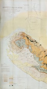
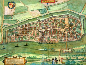
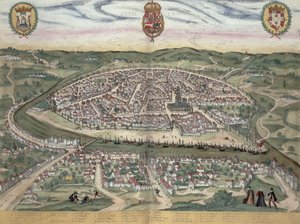
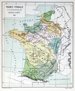
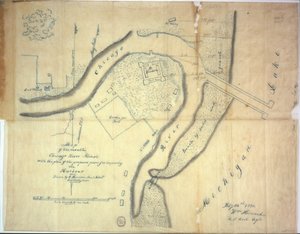
View of Quebec, cartouche of a map depicting St. Lawrence River from Sorel, 1699 Geological Map of the Kutch Region of India, Geological Survey of India 1868-69 Map of Bremen, from Map of South America Map of the Siege of York in 1781, from “Guerre de l’Amérique”, 1782 Map of Seville, from Map of India and the East Indies Feudal France at the time of the accession of Hugues Capet in 987, map illustrated in a Histoire de France, c. 1880 Patagonia, from a Series of World Maps published by John Tallis and Co., New York and London, 1850s Sketch map of Australia showing the position of Mr. Stuart’s Route, 1864 The Continent of Europe, from an Atlas of the World in 33 Maps, Venice, 1st September 1553 Map of the mouth of the Chicago River, Illinois with the plan of the proposed piers for improving the harbour, 1830 Kankou Mousa, King of Mali, from the Map of Charles V, Map of Mecia de Viladestes, a portolan of Europe and North Africa, 1413 Ms 255171 fol. 88 Map of the Village of Belchamp St. Paul, 1576 Map of New France dedicated to Colbert by Duchesneau, Intendant, 1681
View More from "Cartography"

A selection of our top sellers

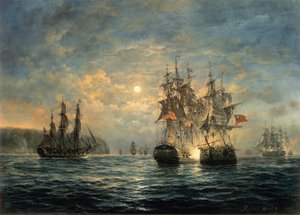
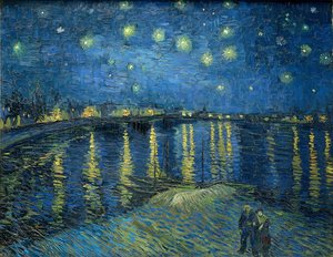
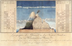
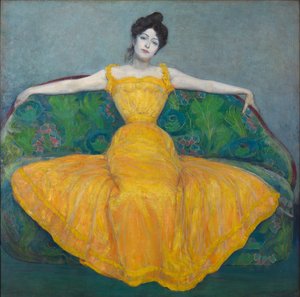
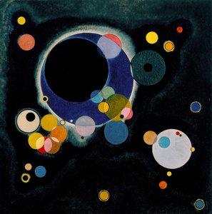
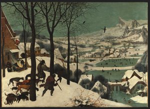
Flying Kites Women of Tahiti, On the Beach, 1891 Engagement Between the Bonhomme Richard and the Serapis off Flamborough Head, 1779 Boys Bathing, 1912 Starry Night Over the Rhône Geography of Plants in Tropical Countries, A Study of the Andes, drawn by Schoenberger and Turpin, printed by Langlois, Paris Lady in Yellow, 1899 Madonna and Child with Two Angels The Two Crowns Several Circles, 1926 Poppies at Argenteuil View of the Naruto whirlpools at Awa, from the series Praying Hands Bell Rock Lighthouse Hunters in the Snow
Show more artworks


What our customers think about us


Frequently Asked Questions about Meisterdrucke


Personalizing your art print at Meisterdrucke is simple and intuitive: Choose a frame, set the image size, pick a printing medium, and add suitable glazing or a stretcher frame. We also offer additional customization options like mats, fillets, and spacers. If you have any questions, our customer service team is ready to help you create your perfect artwork.

At Meisterdrucke, you can visualize your configured artwork directly in your own room. Simply upload a photo of your space and see how the artwork looks in it. If you're visiting us on a mobile device — phone or tablet — our augmented reality feature brings the picture to life and projects it right into your room. A unique experience that combines art and technology.

Choosing the right medium is often a matter of personal taste. To give you a better idea, we've provided some images for each medium. We also offer a sample set of all paper variants, so you can decide not just visually but by touch as well. You can order the sample set free of charge — only shipping costs apply.

Don't worry! At Meisterdrucke, we don't just process orders mechanically. Every order is manually reviewed by our team. If we spot any inconsistencies or issues with your configuration, we'll get in touch with you right away. And of course, our friendly and patient support team is always here to help you with your configuration. We'll work with you by phone or email to adjust your image so the final result is exactly what you had in mind.


Still have questions?

Are you interested in an art print from our manufactory but still unsure? Do you need advice on choosing the medium or help with the order?

Our experts are happy to assist you.

+43 4257 29415
support@meisterdrucke.com

Mo-Do: 7:00 - 16:00 | Fr: 7:00 - 13:00

Still have questions?

Are you interested in an art print from our manufactory but still unsure? Do you need advice on choosing the medium or help with the order?

Our experts are happy to assist you.

+43 4257 29415
support@meisterdrucke.com
Mo-Do: 7:00 - 16:00 | Fr: 7:00 - 13:00


Meisterdrucke

   Kärntner Strasse 46
        9586 Finkenstein am Faaker See
        Austria
        +43 4257 29415
        support@meisterdrucke.com
Other languages

                   
Erfahrungen & Bewertungen zu Meisterdrucke
Post.at DHL Express Quehenberger Cargoboard
Kaiser Franz Joseph

Meisterdrucke
Kärntner Strasse 46
9586 Finkenstein am Faaker See · Austria
+43 4257 29415 · support@meisterdrucke.com
Post.at DHL Express Quehenberger Cargoboard


(c) 2026 meisterdrucke.ie