-
 ×
- Home
- Art Prints ▸
- Artists ▸
- Categories ▸
- Art Styles ▸
- Picture Frame ▸
- All decorative frames
- Baroque decorative frames
- Simple decorative frames
- Rustic decorative frames
- Floating frames
- Golden decorative frames
- Silver decorative frames
- White decorative frames
- Black decorative frames
- Wood-look decorative frames
- Shabby chic decorative frames
- Thin decorative frames
- Thick decorative frames
- Print Media ▸
- All print media
- Canvas Leonardo (satin)
- Canvas Salvador (matte)
- Canvas Raphael (matte)
- FineArt Photo Matte
- FineArt Photo Satin
- FineArt Photo Baryte
- FineArt Photo Glossy
- Watercolor Paper Munch
- Watercolor Paper Renoir
- Watercolor Paper Turner
- Watercolor Paper Dürer
- Natural Line Hemp
- Natural Line Rice
- Kozo White, 110g
- Kozo Natural, 110g
- Inbe White, 125g
- Unryu, 55g
- Bamboo, 110g
- Premio Unryu, 165g
- Murakumo Natural, 42g
- Bizan Natural, 300g
- Bizan White, 300g
- Aluminum composite 3mm
- Acrylic glass 5mm
- Order Sample Set
- Which print medium is right for you?
Canvas
Photo Paper
Watercolor Board
Natural Line
Japanese Paper
Special Media
More information
- Help & Service ▸
- Contact us
- Sell your art
- Frequently Asked Questions
- Job Openings
- Complaint
- Order Samples
- Order Vouchers
- Shipping costs
- Production time
- Sustainability
- Image research
- Special requests
- Who are we?
- Pricing policy
- Company policy
- Quality promise
- Awards
- Stretcher frame
- Mats
- Decorative frames
- Glazing
- Fillets
- Mounting systems
- Print media
- Care tips
- Legal Notice
- Terms & Conditions
- Privacy Policy
- Right of Cancellation
Info & Service
More information
Good to know
Legal information
- Shop ▸
- Contact





 View in 3D / AR
 Add to favorites
 Change wall color
 View picture in a room
.jpg "Plan and Map of the town, citadel and surroundings of Amiens, from the")
 - (MeisterDrucke-89333).jpg "Map of Cochin, India")
.jpg "Plan and Map of the Town and Castle of Sedan, from the Atlas Louis XIV, 1683-88")
.jpg "Louis XIV Atlas, map of Collioure")
.jpg "Plan and Map of the Town and Citadel of Bayonne, from the")
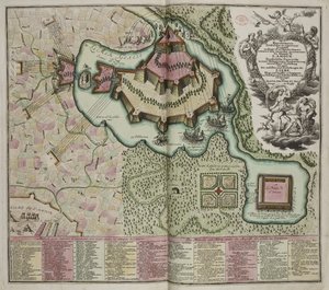
.jpg "Ghent, Belgium, Husson P., B&W")
.jpg "Plan and Map of Saint-Jean-Pied-de-Port, from the Atlas Louis XIV, 1683-88")
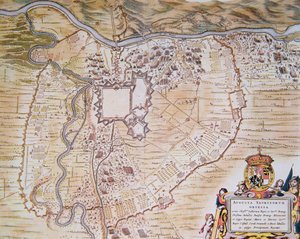
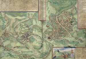
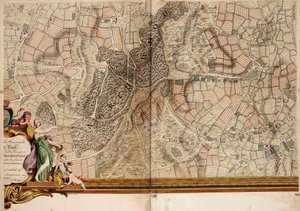
.jpg "Siege and Capture of Maastricht by Frederick Henry in 1632")
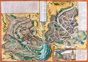
_Israel_(etching_-_(MeisterDrucke-949005).jpg "Map of Jerusalem (Hierosolymorum), Israel")

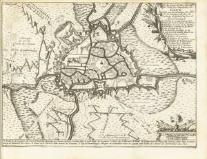
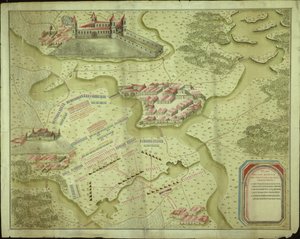
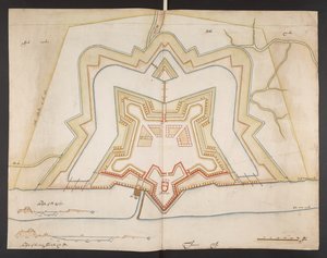
.jpg "Portfolio of Drawings by Mutio Oddi of Urbino and Others")
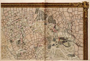
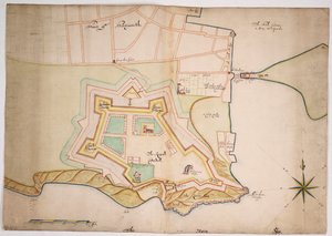
.jpg "Map of the town and citadel of Bellisle, from the")
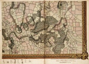
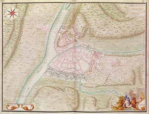
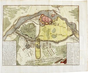
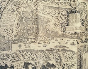
.jpg "Ms 988 Vol. 3 fol. 29, Map and plan of Saint-Malo, from the")
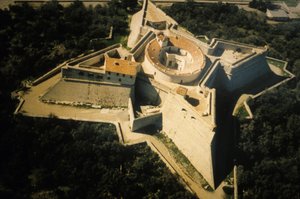
.jpg "Ms. 988 Vol. 3, fol. 61")
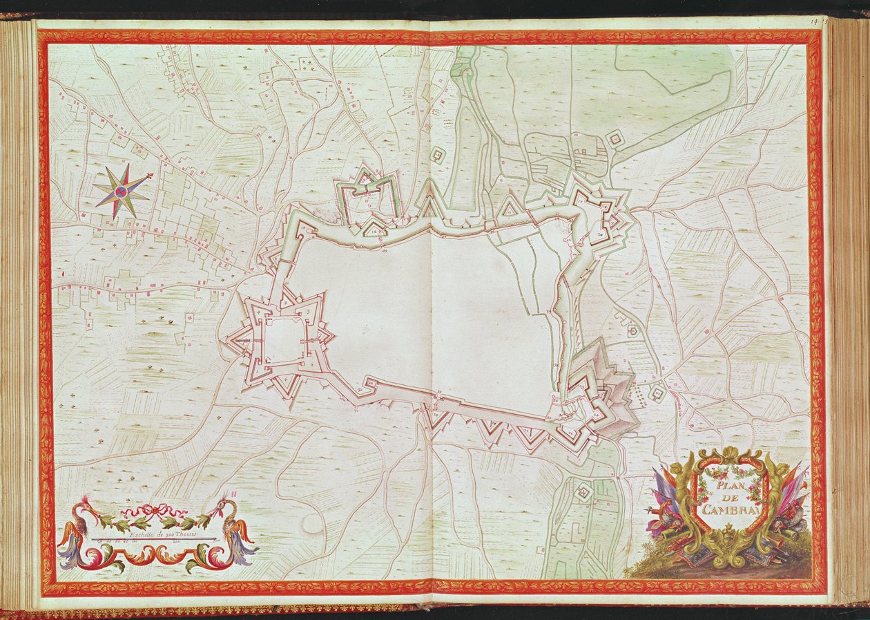
.jpg "Ms. 986, Vol. 1, Plan and Map of Cambrai, from the “Atlas Louis XIV”, 1683-88")
 - (MeisterDrucke-94842).jpg "Map of the Environs of the Town and Castle of Oléron, from the Atlas of Louis XIV")
.jpg "Plan and Map of Toulon, from the")
.jpg "Plan of Rochefort and its surroundings, from the")
.jpg "Map of Concarneau, from the")
.jpg "Plan and map of the town, citadel and surroundings of Mont-Louis")
.jpg "Map of Spain and Portugal, 1731")
.jpg "Partial Map of Middle East in the 1890s, from “The Citizen")
.jpg "Map of Canaan, or Palestine, published by A. K. Johnstone")
.jpg "Aztecs consulting and following a map, from the")
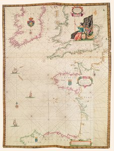
.jpg "Geographic Map of the Azores, 1587")
.jpg "7249 Esp.30 f.2v-3 Detail from a Catalan World Map, 1375")
 (see also 330956) - (MeisterDrucke-54987).jpg "The Indian Ocean, from an Atlas of the World in 33 Maps, Venice, 1st September 1553")
.jpg "Map of Seville, Cadiz, and Malaga, from")
.jpg "Map of China")
 - (MeisterDrucke-105825).jpg "Map of the French Atlantic Coast and of England")
 - (MeisterDrucke-53272).jpg "Map showing the route of the Armada fleet, engraved by Augustine Ryther, 1588")
.jpg "The School of Athens")
.jpg "Effect of Spring, Giverny, 1890")
.jpg "Spring, maiden gathering flowers, from the villa of Varano in Stabiae, c. 15 BC-60 AD")

.jpg "Roaring Stag in the Mountains")
.jpg "Solitude, 1843")
.jpg "The Pink Peach Tree, 1888")

.jpg "Fruit Trees, 1901")


 +43 4257 29415
 support@meisterdrucke.com
 Mo-Do: 7:00 - 16:00 | Fr: 7:00 - 13:00






