support@meisterdrucke.com  ·  0043 4257 29415

Deutsch English Italiano Español Français Nederlands Português Svenska Polski Dansk
Search by artist, work title or style – e.g. Monet, Starry Night, Impressionism, Hokusai wave, nude. Describe the scene – e.g. green meadow, abstract with lots of red, dark oil painting, standing nude next to a tree.

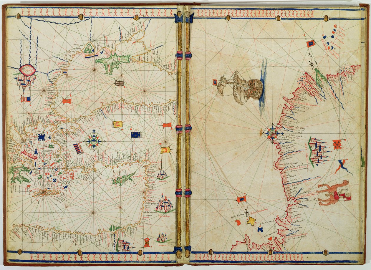
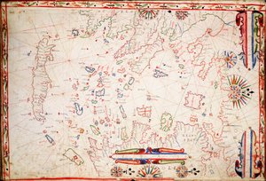
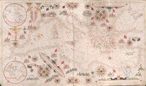
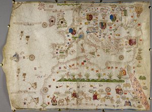
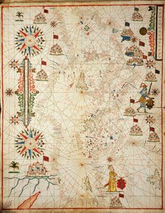
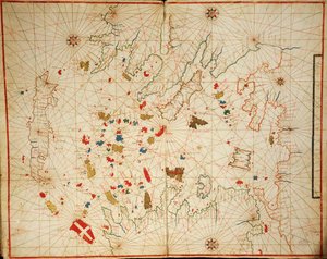
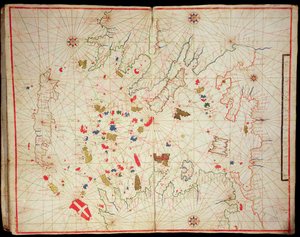
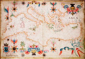
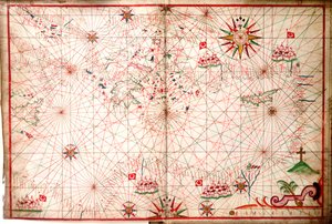
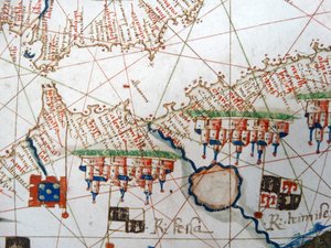
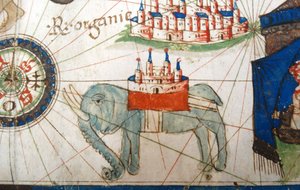
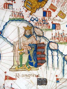
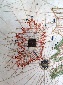
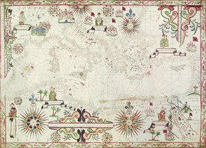
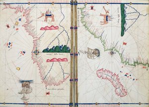
Ms. Ital. 550.0.3.15, fol. 4v-5r. Map of the Eastern Mediterranean Coast and Islands, from the „Carte Geografiche“ by Jacopo Russo

Ms. Ital. 550.0.3.15, fol. 4v-5r. Map of the Eastern Mediterranean Coast and Islands, from the „Carte Geografiche“

(Ms Ital 550.0.3.15 fol.4v-5r Map of the Eastern Mediterranean Coast and Islands, from the 'Carte Geografiche' (vellum))


Jacopo Russo

€ 143.8
Includes 13.5% VAT
   Configure art print
Undated  ·  vellum  ·  Image ID: 38790

Nonclassified artists  ·  Cartography

Ms. Ital. 550.0.3.15, fol. 4v-5r. Map of the Eastern Mediterranean Coast and Islands, from the „Carte Geografiche“ by Jacopo Russo. Available as an art print on canvas, photo paper, watercolor board, natural paper, or Japanese paper.
geographic · coastline · cyprus · greece · turkey · hungary · island · medieval · Biblioteca Estense, Modena, Italy / Bridgeman Images
Other color versions of this image  
AR/3D   View in 3D / AR zu Favoriten hinzufügen   Add to favorites    Change wall color    View picture in a room
Note: Only reviews with comments are displayed. Reviews can be submitted directly after purchase in your customer account.

Configure art print

Picture Frame

Medium & Stretcher

Glass & Passepartout

Miscellaneous & Extras

 Save / compare configuration
Preview Icon

Summary

Gemälde
Veredelung
Keilrahmen
Museumslizenz

€ 143.8
(inkl. 20% MwSt)
   Add to cart

Bildschärfe: PERFEKT

If you'd like us to adjust the brightness, colors, or crop the image, we're happy to do this for you at no extra cost. Just get in touch!

Similar artworks selected for you

Ms. Ital. 550.0.3.15, fol. 4v-5r, Map of Africa and the Cape of Good Hope, from the Mediterranean The Eastern Mediterranean, from a nautical atlas, 1520 Chart of North-East Atlantic, from British Isles to Cape Verde A map of Africa, south of the equator, with part of the Indian Ocean, from “An atlas of 17 sea charts by Joan Martines” Atlantic 5 degrees South to 56 degrees North North America, Atlantic Coast Black Sea and eastern Mediterranean Black Sea for the nautical atlas of the world Black Sea and eastern Mediterranean The Earliest Known Separate Map of the Island of Ireland, Portolan Atlas Map of the eastern part of the Mediterranean and the Black Sea, manuscript of a 16th century portolan atlas (manuscript) Greek Archipelago, c.1620 Chart of Arabia and the Eastern Mediterranean, Part of a Portolan Atlas, c.1650 America [north and south] -- Europe, Asia, Africa Add. 31318 B Map of Europe, Asia Minor, and Africa, as far south as Cape Rosso, vellum Mediterranean Sea, from portolan atlas of six charts, by Placido Caloiro and Francesco Oliva, 1646 The Mediterranean Basin, from a nautical atlas, 1646 Aegean Sea, from Portolan Atlas Consisting of Six Charts Europe and Northern Africa Chart of the Atlantic Ocean, Mediterranean and Black Sea, c.1535 Map of Europe, from a facsimile of the ‘Miller Atlas’ by Pedro and Jorge Reinel, and Lopo Homem, made in 1519 A Mediterranean Chart Showing the North East Atlantic The South Coast of France, Italy and Dalmatia, from a Nautical Atlas, 1651 (detail) The Aegean Sea, from a Nautical Atlas, 1646 The Central Mediterranean, from a nautical atlas, 1520 This Type of Early Vellum Sea Chart Originated in the Mediterranean in the 13th Century Eastern Mediterranean
Show more similar artworks

More art prints by Jacopo Russo

Ms. Ital. 550.0.3.15, fol. 4v-5r. Map of the Eastern Mediterranean Coast and Islands, from the „Carte Geografiche“ Ms Ital 550.0.3.15 fol.2r Map of Europe, from Renaissance map of Europe, after Jacopo Russo, 1528 Detail from a Renaissance map of Europe, after Jacopo Russo, 1528 Compass point, Renaissance map of Europe, Jacopo Russo (after), 1528 Renaissance map of Europe, after Jacopo Russo, 1528 Holy Roman Emperor, Detail from a Renaissance Map of Europe, Jacopo Russo England, Wales and Scotland, from a Renaissance map of Europe, after Jacopo Russo, 1528 Ms. Ital. 550.0.3.15, fol. 4v-5r, Map of Africa and the Cape of Good Hope, from the Renaissance map of Europe, Jacopo Russo (after), 1528 Ireland, detail from a Renaissance map of Europe, after Jacopo Russo, 1528 Damascus and Jerusalem, detail from the Geographical Maps Egypt and the Red Sea, detail from a Renaissance map of Europe, Jacopo Russo (after), 1528 Ms Ital 550.0.3.15 fol. 6r Map of Egypt, from the „Carte Geografiche“ An Arab Trader on a Camel, detail from a Renaissance map of Europe, after Jacopo Russo, 1528
Show more works by Jacopo Russo

More motifs from the category Cartography

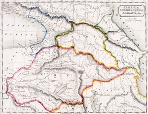
Ms 1288 f.25 Map of Brazil, from Dutch Marine Maps, 1637 Transport map of London, c.1915 The Site of Shakespeare A Map of St Paul Map of the Mediterranean, 1625 Map of Wilnis, from ’Civitates Orbis Terrarum’ by Georg Braun (1541-1622) and Frans Hogenberg (1535-90), c.1572-1617 BT1.47.9 The Dedication to Queen Elizabeth I from a Book of Maps of England and Wales by Christopher Saxton, published 1579 Map of the World in Two Hemispheres, from Ms 988 volume 3 fol.31 Map of Concarneau, from the ’Atlas Louis XIV’, 1683-88 Map of Armenia, Colchis, Iberia and Albania, from A Map of the Province of New York with Part of Pennsylvania and New England, from an Actual Survey by Captain Montrésor, Engineer, 1775, 10 June 1775 Glyph map of Aztec migration from Aztlan to Tenochtitlan, published c. 1830 World Map, early 18th century Battle of Waterloo, Map of the Battlefield, engraved by Jacowick, 1816 Map of the Voyage of the Argonauts, from the “Theatrum Orbis Terrarum”, 1603
View More from "Cartography"

A selection of our top sellers

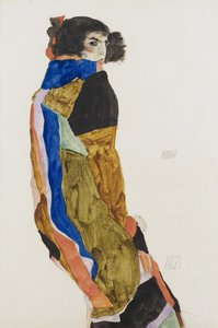
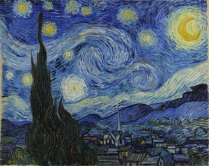
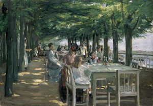
Moa, 1911 A Gotthelf reader Starry Night The Terrace at the Restaurant Jacob in Nienstedten on the Elbe Standing Male Nude Standing half-nude with brown shirt Boy Viewing Mount Fuji, 1839 The Roundel in the Hedge Garden with a Flower Waterer Little Heath Princess. 1889 The Redoutable at Trafalgar, 21st October 1805 World map Universalis Cosmographia, 1507 Dog Morning in a Pine Forest Flaming June, c. 1895 Twelve Sunflowers in a Vase
Show more artworks


What our customers think about us


Frequently Asked Questions about Meisterdrucke


Personalizing your art print at Meisterdrucke is simple and intuitive: Choose a frame, set the image size, pick a printing medium, and add suitable glazing or a stretcher frame. We also offer additional customization options like mats, fillets, and spacers. If you have any questions, our customer service team is ready to help you create your perfect artwork.

At Meisterdrucke, you can visualize your configured artwork directly in your own room. Simply upload a photo of your space and see how the artwork looks in it. If you're visiting us on a mobile device — phone or tablet — our augmented reality feature brings the picture to life and projects it right into your room. A unique experience that combines art and technology.

Choosing the right medium is often a matter of personal taste. To give you a better idea, we've provided some images for each medium. We also offer a sample set of all paper variants, so you can decide not just visually but by touch as well. You can order the sample set free of charge — only shipping costs apply.

Don't worry! At Meisterdrucke, we don't just process orders mechanically. Every order is manually reviewed by our team. If we spot any inconsistencies or issues with your configuration, we'll get in touch with you right away. And of course, our friendly and patient support team is always here to help you with your configuration. We'll work with you by phone or email to adjust your image so the final result is exactly what you had in mind.


Still have questions?

Are you interested in an art print from our manufactory but still unsure? Do you need advice on choosing the medium or help with the order?

Our experts are happy to assist you.

+43 4257 29415
support@meisterdrucke.com

Mo-Do: 7:00 - 16:00 | Fr: 7:00 - 13:00

Still have questions?

Are you interested in an art print from our manufactory but still unsure? Do you need advice on choosing the medium or help with the order?

Our experts are happy to assist you.

+43 4257 29415
support@meisterdrucke.com
Mo-Do: 7:00 - 16:00 | Fr: 7:00 - 13:00


Meisterdrucke

   Kärntner Strasse 46
        9586 Finkenstein am Faaker See
        Austria
        +43 4257 29415
        support@meisterdrucke.com
Other languages

                   
Erfahrungen & Bewertungen zu Meisterdrucke
Post.at DHL Express Quehenberger Cargoboard
Kaiser Franz Joseph

Meisterdrucke
Kärntner Strasse 46
9586 Finkenstein am Faaker See · Austria
+43 4257 29415 · support@meisterdrucke.com
Post.at DHL Express Quehenberger Cargoboard


(c) 2026 meisterdrucke.ie