support@meisterdrucke.com  ·  0043 4257 29415

Deutsch English Italiano Español Français Nederlands Português Svenska Polski Dansk
Search by artist, work title or style – e.g. Monet, Starry Night, Impressionism, Hokusai wave, nude. Describe the scene – e.g. green meadow, abstract with lots of red, dark oil painting, standing nude next to a tree.

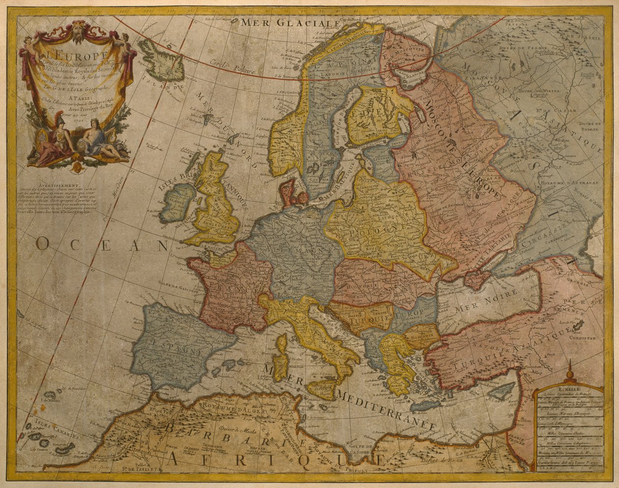
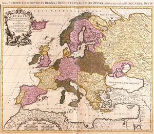
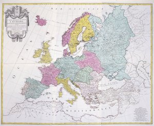
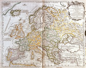
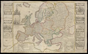
Map of Europe, published in 1700, Paris by Guillaume Delisle

Map of Europe, published in 1700, Paris

(Map of Europe, published in 1700, Paris (colour engraving))


Guillaume Delisle

€ 136.87
Includes 13.5% VAT
   Configure art print
17th century  ·  colour engraving  ·  Image ID: 287342

Nonclassified artists  ·  Cartography

Map of Europe, published in 1700, Paris by Guillaume Delisle. Available as an art print on canvas, photo paper, watercolor board, natural paper, or Japanese paper.
cartography · mapping · continent · geography · geographical · european · Private Collection / Bridgeman Images
Other color versions of this image  
AR/3D   View in 3D / AR zu Favoriten hinzufügen   Add to favorites    Change wall color    View picture in a room
0 Reviews

Configure art print

Picture Frame

Medium & Stretcher

Glass & Passepartout

Miscellaneous & Extras

 Save / compare configuration
Preview Icon

Summary

Gemälde
Veredelung
Keilrahmen
Museumslizenz

€ 136.87
(inkl. 20% MwSt)
   Add to cart

Bildschärfe: PERFEKT

If you'd like us to adjust the brightness, colors, or crop the image, we're happy to do this for you at no extra cost. Just get in touch!

Similar artworks selected for you

New Map of Europe Done from the Most Accurate Observations Communicated to the Royal Society Europe - by A Map of Europe (etching) Europe Atlas sive Cosmographicae Meditationes de Fabrica Mundi et Fabricati Figura Europae: Livonia, Russia Wallis A Map of Europe, Divided into Its Empires and Kingdoms, by J. Palairet with Several Improvements and Additions from D Europe Map of Europe, 1587 The map was published in Nuremberg by Christoph Fembo (1823) and shows Europe Europe Divided into Its Empires, Kingdoms, States, Republics Map of Europe, from Theatrum Orbis Terrarum Geographical Representation of the Total Solar Eclipse with Duration on May 12, 1706, Celebrated in Europe, Showing the Path of the Central Shadow and Other Magnitudes in Their Respective Places, Derived from the Observations of Illustrious Men Map of Europe, c. 1554 Europe Map of Europe Europae From: Theatrum Orbis Terrarum Europe, from General Map of the Whole of Europe, Divided into Its Main Countries, 1782 Map of Europe Composite World Atlas by William Faden Map of Europe New and Accurate Description of All Europe Map of Europe. Second Half of the 19th Century. Italian Atlas. Stabilimento Civelli. Milan. Europe A 19th century coloured map of Europe, compiled for use in colleges and schools. Map of Asia, engraving
Show more similar artworks

More art prints by Guillaume Delisle

Map of the United Provinces of the Netherlands World Map, Drawn from Observations of the Royal Academy of Sciences and Others South Russia Map of Africa, published in 1700, Paris Map of Europe, published in 1700, Paris Map of Southern Italy, Corsica, and Sardinia known in Ancient Times as Great Greece or Magna Graecia, early 18th century Map of North Africa (Mauritania, Morocco, Algeria, Tunisia, Libya) and Europe (Spain, Portugal, France, Italy, Greece with Balearic Islands, Sardinia, Corsica and Sicily) Map of Tartaria (Central Asia, Siberia, Turkestan, Mongolia and Manchuria) Map of Asia, published in 1700, Paris Map of the British Isles, Kingdoms of England, Scotland and Ireland Map of Louisiana (USA) and the Mississippi River Map of Mexico and Florida (USA) with the Caribbean Islands (Cuba, Haiti, Jamaica, Antilles) (etching) Map of Italy, with Corsica, Sardinia and Sicily Map of Northern Hemisphere, Arctic Land Description (Strong Water) Map of South America, published in 1700, Paris
Show more works by Guillaume Delisle

More motifs from the category Cartography

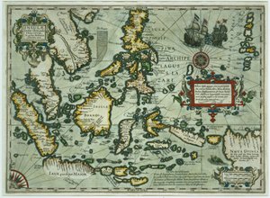
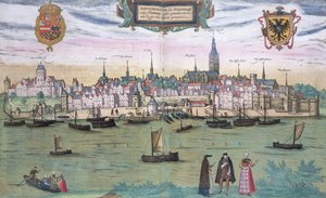
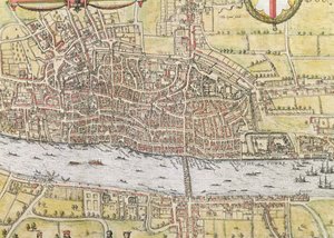
Nicolaus Copernicus (1473-1543), detail from a map showing the Copernican system of planetary orbits, Planisphaerium Copernicanum, from The Celestial Atlas, or The Harmony of the Universe (Atlas c West Coast of Africa, from Lisbon to Sierra Leone, from ’Atlas de Toutes les Parties Connues du Globe Terrestre’ by Guillaume Raynal (1713-96), published in Geneva, 1780 ’Map of New England, Being the first that ever was here cut...’, 1677 Wallis Fol. 7v: Map of the North Pole, from Map of the Battle of Trafalgar, published by William Blackwood and Sons, Edinburgh and London, 1848 French school textbook map of Indochina, 1905 Map representing the approximate tonnage of wines and spirits in circulation in France in 1857 by water and by railway, 1860 Cyclorama fold out map detailing the History of the Great Rebellion, c.1870 Map of the Northern Sky with representations of the constellations, c.1515 Map of the East Indies, published 1635 in Amsterdam Map of Nijmegen, from ’Civitates Orbis Terrarum’ by Georg Braun (1541-1622) and Frans Hogenburg (1535-90), c.1572 Map of London, from “Civitates Orbis Terrarum”, by Georg Braun (1542-1622) and Frans Hogenburg (1635-90), c. 1572 Map of Animals in Africa Sf Map No. 8 showing the route of the Armada fleet, engraved by Augustine Ryther, 1588
View More from "Cartography"

A selection of our top sellers

Beef: diagram depicting the different cuts of meat Castle and Sun Danae, 1891 Most Sacred P. Mönsted, Sunny Forest Stream Hunters in the Snow (Winter) Family Picnic Rosa Damascena, Rosier de Cels, from Les Roses, 1817-24 The Ambassadors School of Athens, from the Stanza della Segnatura, 1510-11 Seascape near Les Saintes-Maries-de-la-Mer The Apple Harvest The Valencian Fishermen The Lady with an Ermine The Cactus Lover
Show more artworks


What our customers think about us


Frequently Asked Questions about Meisterdrucke


Personalizing your art print at Meisterdrucke is simple and intuitive: Choose a frame, set the image size, pick a printing medium, and add suitable glazing or a stretcher frame. We also offer additional customization options like mats, fillets, and spacers. If you have any questions, our customer service team is ready to help you create your perfect artwork.

At Meisterdrucke, you can visualize your configured artwork directly in your own room. Simply upload a photo of your space and see how the artwork looks in it. If you're visiting us on a mobile device — phone or tablet — our augmented reality feature brings the picture to life and projects it right into your room. A unique experience that combines art and technology.

Choosing the right medium is often a matter of personal taste. To give you a better idea, we've provided some images for each medium. We also offer a sample set of all paper variants, so you can decide not just visually but by touch as well. You can order the sample set free of charge — only shipping costs apply.

Don't worry! At Meisterdrucke, we don't just process orders mechanically. Every order is manually reviewed by our team. If we spot any inconsistencies or issues with your configuration, we'll get in touch with you right away. And of course, our friendly and patient support team is always here to help you with your configuration. We'll work with you by phone or email to adjust your image so the final result is exactly what you had in mind.


Still have questions?

Are you interested in an art print from our manufactory but still unsure? Do you need advice on choosing the medium or help with the order?

Our experts are happy to assist you.

+43 4257 29415
support@meisterdrucke.com

Mo-Do: 7:00 - 16:00 | Fr: 7:00 - 13:00

Still have questions?

Are you interested in an art print from our manufactory but still unsure? Do you need advice on choosing the medium or help with the order?

Our experts are happy to assist you.

+43 4257 29415
support@meisterdrucke.com
Mo-Do: 7:00 - 16:00 | Fr: 7:00 - 13:00


Meisterdrucke

   Kärntner Strasse 46
        9586 Finkenstein am Faaker See
        Austria
        +43 4257 29415
        support@meisterdrucke.com
Other languages

                   
Erfahrungen & Bewertungen zu Meisterdrucke
Post.at DHL Express Quehenberger Cargoboard
Kaiser Franz Joseph

Meisterdrucke
Kärntner Strasse 46
9586 Finkenstein am Faaker See · Austria
+43 4257 29415 · support@meisterdrucke.com
Post.at DHL Express Quehenberger Cargoboard


(c) 2026 meisterdrucke.ie