support@meisterdrucke.com  ·  0043 4257 29415

Deutsch English Italiano Español Français Nederlands Português Svenska Polski Dansk
Search by artist, work title or style – e.g. Monet, Starry Night, Impressionism, Hokusai wave, nude. Describe the scene – e.g. green meadow, abstract with lots of red, dark oil painting, standing nude next to a tree.

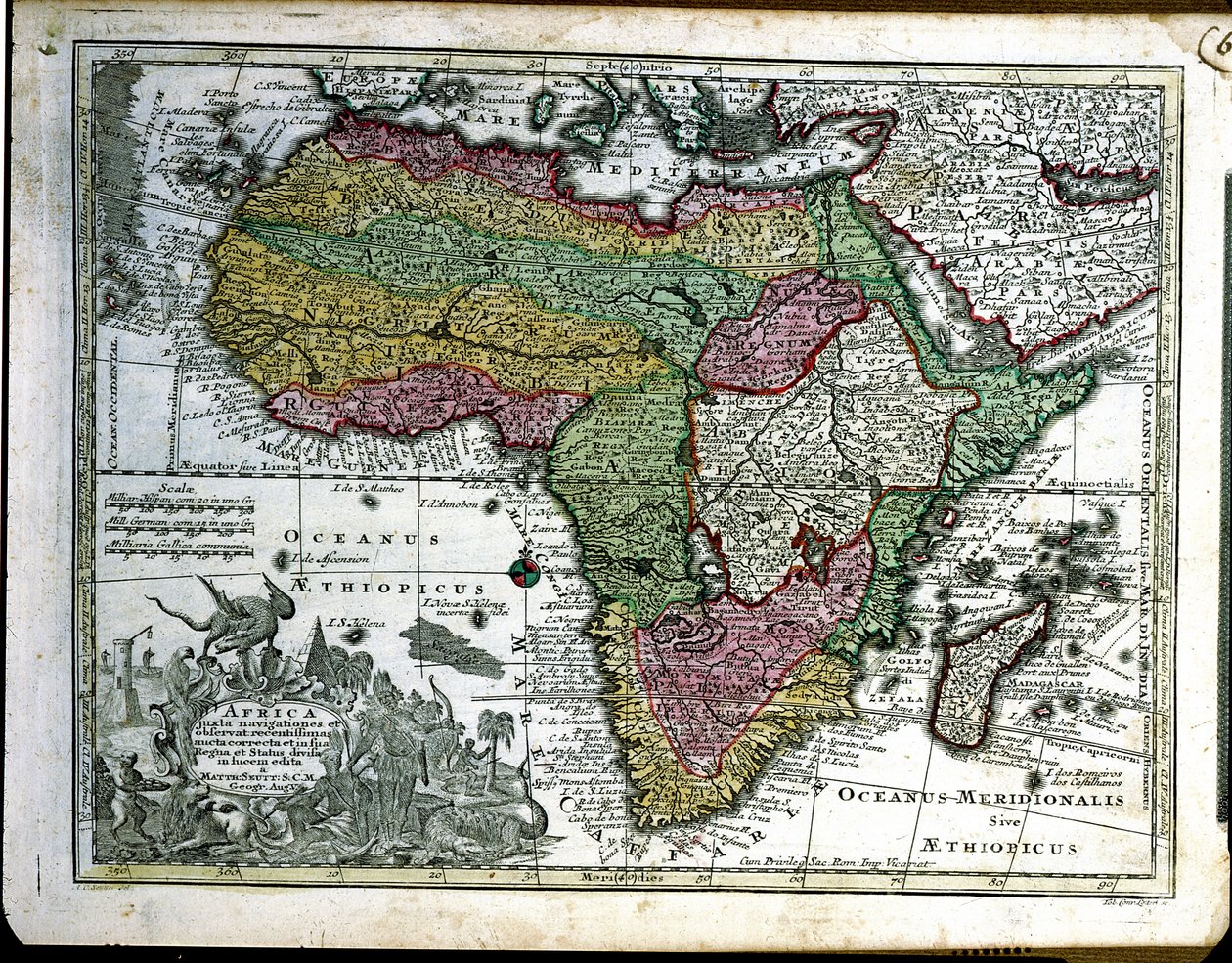
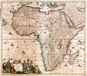
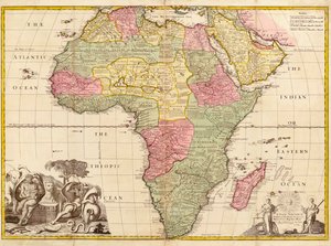
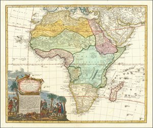
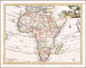
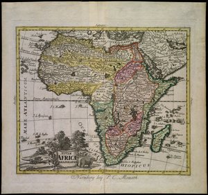
Map of Africa, from Atlas Minor, published in Augsburg, first half of eighteenth century by Georg Matthäus Seutter

Map of Africa, from Atlas Minor, published in Augsburg, first half of eighteenth century

(Map of Africa, from 'Atlas Minor', published in Augsburg, first half of eighteenth century )


Georg Matthäus Seutter

€ 139.82
Includes 13.5% VAT
   Configure art print
Undated  ·  engraving  ·  Image ID: 208007

Nonclassified artists  ·  Cartography

Map of Africa, from Atlas Minor, published in Augsburg, first half of eighteenth century by Georg Matthäus Seutter. Available as an art print on canvas, photo paper, watercolor board, natural paper, or Japanese paper.
african · continent · Bibliotheque des Arts Decoratifs, Paris, France / Bridgeman Images
AR/3D   View in 3D / AR zu Favoriten hinzufügen   Add to favorites    Change wall color    View picture in a room
0 Reviews

Configure art print

Picture Frame

Medium & Stretcher

Glass & Passepartout

Miscellaneous & Extras

 Save / compare configuration
Preview Icon

Summary

Gemälde
Veredelung
Keilrahmen
Museumslizenz

€ 139.82
(inkl. 20% MwSt)
   Add to cart

Bildschärfe: PERFEKT

If you'd like us to adjust the brightness, colors, or crop the image, we're happy to do this for you at no extra cost. Just get in touch!

Similar artworks selected for you

Nouae Africae delineatio Africa Africa Elaboratissima Map of South America Map of Africa, c.1715 Africa Africa Map of Africa, from Nova Africa Descriptio, published in Amsterdam in the 1660s by Dutch cartographer Frederik de Wit Map of Africa Map of Africa 1692 Map of Africa Gothia Map of Africa, published in 1700, Paris Africa, from Modern Geography, c.1725 Africa Map of Africa, from Map of Africa South America (engraving) Map of Africa from William Blaeu Africa, in 1737 map of Africa Map of Africa. Plate from an Atlas by Willem Janszoon Blaeu Africa divided into its main states, engraving by G. Zuliani taken from Tome I of the Newest Atlas published in Venice in 1776 by Antonio Zatta Chart of the Indian Ocean, c.1722 Map of Africa 1740 map of Africa by Giambattista Albrizzi South America America Meridionalis: from the Atlas of Gerardus Mercator, 1633, 1936 Map of the travels of Alexander the Great (356-323 BC) from Map of the Indian Peninsula, 1733
Show more similar artworks

More art prints by Georg Matthäus Seutter

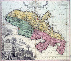
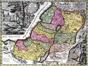
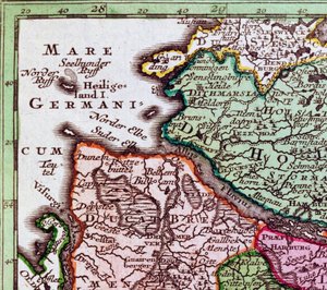
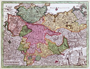
Map of Silesia, from an Atlas Detailed map of the island of Martinique in the West Indies. Engraving by Matthew Seutter (1678-1757), 18th century, Chartres, Musée des Beaux-Arts Map of the Austrian Empire, c. 1750 The Holy Land (Palestine) Map of Florence with a Perspectival View, 1750 Heligoland (detail) Map of Africa, from Atlas Minor, published in Augsburg, first half of eighteenth century Map of Northern Germany, from an Atlas Map of Strasbourg, Capital of Alsace Map of Martinique created by Matthieu Seutter, details: Merchants and Native American Indian Map of Alsace, Baden, Sundgau and Breisgau Map of Bavaria, c.1757 View of the Electoral Prince Map of Saint Petersburg Map of the world and celestial planisphere
Show more works by Georg Matthäus Seutter

More motifs from the category Cartography

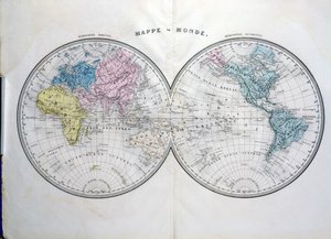
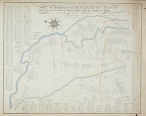
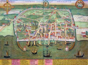
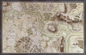
World map, illustration from Atlas Géographique Moderne by Prosper-Auguste Poulain de Bossay, c. 1850 Map of Mexico, illustration from „Civitates Orbis Terrarum“ by Georg Braun (1541-1622) and Frans Hogenberg (1535-90), c. 1572 Plan of the Citadel of l A New and Correct Map of Hackney Marsh, 1745 Detail of Constantinople and the Middle East from the Peutinger map copy Map of countries first discovered by Christopher Columbus (1451-1506), 1500 Map of the Old and New Worlds, c. 1500 Mappa Mundi, 1502 Detail of Italy from the Peutinger map copy Wallis Map of the County of Cornwall, 1579 John Pinkerton Detail of Constantinople from the Peutinger Map (detail) Map of Visby, from ‘Civitates Orbis Terrarum’ by Georg Braun (1541-1622) and Frans Hogenberg (1535-90), c.1572-1617 A Map inspired by Candide by François Voltaire (1694-1778) for a competition organised by the École Nationale des Ponts et Chaussées in Paris, late 18th century
View More from "Cartography"

A selection of our top sellers

The Butterfly Hunter Landscape with Church and Path Quai du Louvre Sunny Path The Foxes Wanderer above the Sea of Fog Cattleya Orchid and Three Hummingbirds Pandora The Road to Bas-Bréau, Fontainebleau (Le Pavé de Chailly), c. 1865 The Hay Wain A Coign of Vantage, 1895 Waterlilies, 1916-19 Poor Little Bear!, 1912 The Jumantsubo Plain in Susaki near Fukagawa, 1857 Children
Show more artworks


What our customers think about us


Frequently Asked Questions about Meisterdrucke


Personalizing your art print at Meisterdrucke is simple and intuitive: Choose a frame, set the image size, pick a printing medium, and add suitable glazing or a stretcher frame. We also offer additional customization options like mats, fillets, and spacers. If you have any questions, our customer service team is ready to help you create your perfect artwork.

At Meisterdrucke, you can visualize your configured artwork directly in your own room. Simply upload a photo of your space and see how the artwork looks in it. If you're visiting us on a mobile device — phone or tablet — our augmented reality feature brings the picture to life and projects it right into your room. A unique experience that combines art and technology.

Choosing the right medium is often a matter of personal taste. To give you a better idea, we've provided some images for each medium. We also offer a sample set of all paper variants, so you can decide not just visually but by touch as well. You can order the sample set free of charge — only shipping costs apply.

Don't worry! At Meisterdrucke, we don't just process orders mechanically. Every order is manually reviewed by our team. If we spot any inconsistencies or issues with your configuration, we'll get in touch with you right away. And of course, our friendly and patient support team is always here to help you with your configuration. We'll work with you by phone or email to adjust your image so the final result is exactly what you had in mind.


Still have questions?

Are you interested in an art print from our manufactory but still unsure? Do you need advice on choosing the medium or help with the order?

Our experts are happy to assist you.

+43 4257 29415
support@meisterdrucke.com

Mo-Do: 7:00 - 16:00 | Fr: 7:00 - 13:00

Still have questions?

Are you interested in an art print from our manufactory but still unsure? Do you need advice on choosing the medium or help with the order?

Our experts are happy to assist you.

+43 4257 29415
support@meisterdrucke.com
Mo-Do: 7:00 - 16:00 | Fr: 7:00 - 13:00


Meisterdrucke

   Kärntner Strasse 46
        9586 Finkenstein am Faaker See
        Austria
        +43 4257 29415
        support@meisterdrucke.com
Other languages

                   
Erfahrungen & Bewertungen zu Meisterdrucke
Post.at DHL Express Quehenberger Cargoboard
Kaiser Franz Joseph

Meisterdrucke
Kärntner Strasse 46
9586 Finkenstein am Faaker See · Austria
+43 4257 29415 · support@meisterdrucke.com
Post.at DHL Express Quehenberger Cargoboard


(c) 2026 meisterdrucke.ie