-
 ×
- Home
- Art Prints ▸
- Artists ▸
- Categories ▸
- Art Styles ▸
- Picture Frame ▸
- All decorative frames
- Baroque decorative frames
- Simple decorative frames
- Rustic decorative frames
- Floating frames
- Golden decorative frames
- Silver decorative frames
- White decorative frames
- Black decorative frames
- Wood-look decorative frames
- Shabby chic decorative frames
- Thin decorative frames
- Thick decorative frames
- Print Media ▸
- All print media
- Canvas Leonardo (satin)
- Canvas Salvador (matte)
- Canvas Raphael (matte)
- FineArt Photo Matte
- FineArt Photo Satin
- FineArt Photo Baryte
- FineArt Photo Glossy
- Watercolor Paper Munch
- Watercolor Paper Renoir
- Watercolor Paper Turner
- Watercolor Paper Dürer
- Natural Line Hemp
- Natural Line Rice
- Kozo White, 110g
- Kozo Natural, 110g
- Inbe White, 125g
- Unryu, 55g
- Bamboo, 110g
- Premio Unryu, 165g
- Murakumo Natural, 42g
- Bizan Natural, 300g
- Bizan White, 300g
- Aluminum composite 3mm
- Acrylic glass 5mm
- Order Sample Set
- Which print medium is right for you?
Canvas
Photo Paper
Watercolor Board
Natural Line
Japanese Paper
Special Media
More information
- Help & Service ▸
- Contact us
- Sell your art
- Frequently Asked Questions
- Job Openings
- Complaint
- Order Samples
- Order Vouchers
- Shipping costs
- Production time
- Sustainability
- Image research
- Special requests
- Who are we?
- Pricing policy
- Company policy
- Quality promise
- Awards
- Stretcher frame
- Mats
- Decorative frames
- Glazing
- Fillets
- Mounting systems
- Print media
- Care tips
- Legal Notice
- Terms & Conditions
- Privacy Policy
- Right of Cancellation
Info & Service
More information
Good to know
Legal information
- Shop ▸
- Contact




 View in 3D / AR
 Add to favorites
 Change wall color
 View picture in a room



.webp "Map of Mexico")
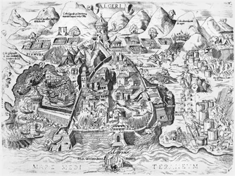
.webp "The Spanish Attempt to Capture Algiers, 1541")

 - (MeisterDrucke-606661).webp "Siege of Krakow (1655)")


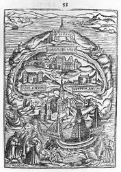

.webp "Map of Antwerp")
.webp "The Seven Churches of Rome, 1575")
.webp "View of Jerusalem")
 - (MeisterDrucke-35296).webp "The Scenography of a Town and Castle with All the Usual Outworks and the Manner of Carrying Out a Siege, from")

_engraving_from_La_Cosmographie_Universelle_(Univer_-_(MeisterDrucke-1083489).webp "City of Quinsai, Engraving from La Cosmographie Universelle by Andre Thevet")


.webp "War of the Juelich Succession")


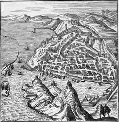
.webp "Town Map of Alexandria in Egypt, c.1625")


.webp "Detailed Map of Gallipoli Peninsula and the Dardanelles, Turkey, 1915, from")
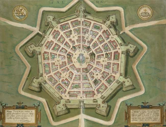
 from - (MeisterDrucke-259626).webp "Map of the travels of Alexander the Great (356-323 BC) from")

 - (MeisterDrucke-61264).webp "Map of the Countries of the Persian Gulf, from the “Sala del Mappamondo” (Hall of the World Maps)")
.webp "View of Quebec, cartouche of a map depicting St. Lawrence River from Sorel, 1699")
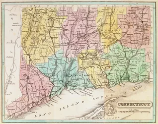
.webp "Map of the Battle of Rivoli, published by William Blackwood and Sons, Edinburgh and London, 1848")

.webp "Map of Epirus for “Andromache” by Jean Racine, from Volume I of “Research on the Costumes and Theatre of All Nations”, 1802")
.webp "Detail of Italy from the Peutinger map copy")
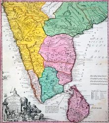


 - (MeisterDrucke-637264).webp "View from a Window, 1988")


.webp "Red Tree")
.webp "Self-Portrait with Physalis")
.webp "Starry Night over the Rhône, 1888")


.webp "A Gotthelf reader")
.webp "Noon, or The Siesta, after Millet, 1890")

.webp "Eiger, Mönch and Jungfrau in the Morning Sun")

.webp "Painting from the Tomb of the Diver from the southern cemetery at Paestum, 480-470 BC")

 +43 4257 29415
 support@meisterdrucke.com
 Mo-Do: 7:00 - 16:00 | Fr: 7:00 - 13:00




