support@meisterdrucke.com  ·  0043 4257 29415

Deutsch English Italiano Español Français Nederlands Português Svenska Polski Dansk
Search by artist, work title or style – e.g. Monet, Starry Night, Impressionism, Hokusai wave, nude. Describe the scene – e.g. green meadow, abstract with lots of red, dark oil painting, standing nude next to a tree.

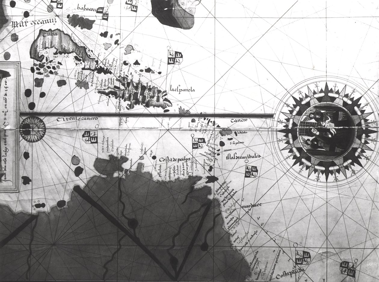
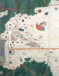
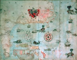
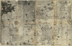
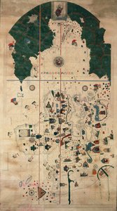
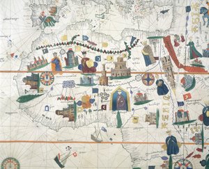
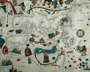
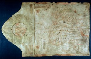
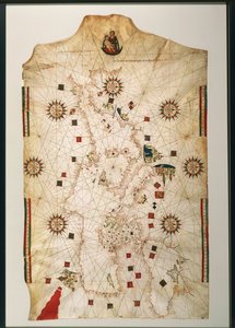
Map of countries first discovered by Christopher Columbus (1451-1506), 1500 by Juan de la Cosa

Map of countries first discovered by Christopher Columbus (1451-1506), 1500

(Map of countries first discovered by Christopher Columbus (1451-1506) 1500 (gouache and pen and ink on paper) )


Juan de la Cosa

€ 144.19
Includes 13.5% VAT
   Configure art print
15th century  ·  gouache and pen and ink on paper  ·  Image ID: 112423

Nonclassified artists  ·  Cartography

Map of countries first discovered by Christopher Columbus (1451-1506), 1500 by Juan de la Cosa. Available as an art print on canvas, photo paper, watercolor board, natural paper, or Japanese paper.
Museo Naval, Madrid, Spain / Bridgeman Images
AR/3D   View in 3D / AR zu Favoriten hinzufügen   Add to favorites    Change wall color    View picture in a room
0 Reviews

Configure art print

Picture Frame

Medium & Stretcher

Glass & Passepartout

Miscellaneous & Extras

 Save / compare configuration
Preview Icon

Summary

Gemälde
Veredelung
Keilrahmen
Museumslizenz

€ 144.19
(inkl. 20% MwSt)
   Add to cart

Bildschärfe: PERFEKT

If you'd like us to adjust the brightness, colors, or crop the image, we're happy to do this for you at no extra cost. Just get in touch!

Similar artworks selected for you

The Thames Estuary from The Sea-Mirrour atlas by Willem Janszoon Blaeu, published in Amsterdam in 1633 Map of Great Britain, France and Spain, 1473 Map of Lake Ontario with the English and French fleets Map of the Pacific Ocean North Atlantic 1513 Map of the North Sea Showing Greenland Connected to Scandinavia The Port of Mahon and surrounding area, from Cala Murte to Cala Rafalet Planisphere of Cantino: Map of Alberto Cantino from 1502 representing the boundary line imposed by the Treaty of Tordesillas (1494) between Portuguese and Spanish America. Biblioteca Estense, Modena Maps of Holy Island and Farne Island, Northumberland, from Arabia. The Arabian Desert Map of Eastern North America: Florida to Chesapeake Bay Turtle Island and Santo Domingo from a 17th century map by Pierre Vandier The Cottoniana or Anglo-Saxon Map MS Tib. BV Map showing Gibraltar, Morocco and the Canary Islands. 15th century Portulan Islands of Central America, nautical chart by Juan de la Cosa Unknown Image Map of Europe, Africa, and the Americas Map of the Old and New Worlds, c. 1500 Navigation Chart Showing China, Ceylon and the Philippines and the Tropics of Cancer and Capricorn, c.1540 Map of Formosa (Taiwan) Ms. 1288, fol. 1, The Polar Aurora, from a Collection of Dutch Marine Maps Chesapeake Bay, Florida, c.1585-1603 Arabia. Coastal area and gulf Chart of River Thames from London to the Buoy of the Noure 1551 Map of the Western Hemisphere Illustration from the book India Orientalis by unknown author, published by Excudebat Matthaeus Beckerus (Frankfurt, 1598-1628) Adriatic chart Map showing a very small part of the coast of China St. George
Show more similar artworks

More art prints by Juan de la Cosa

Portolan nautical planisphere chart by Juan de la Cosa, circa 1500 Mappa Mundi, 1502 Map of the Old and New Worlds, c. 1500 Detail of Africa and the Mediterranean Basin, by Juan de la Cosa, marine chart Islands of Central America, nautical chart by Juan de la Cosa Europe, from a 19th-century copy of the nautical planisphere by Juan de la Cosa Marine chart of Juan de la Cosa (1460-1510), cartographer companion of navigator Christopher Columbus (1451-1506) Map of countries first discovered by Christopher Columbus (1451-1506), 1500 19th century copy of the nautical planisphere by Juan de la Cosa
Show more works by Juan de la Cosa

More motifs from the category Cartography

Map of Treviso, from Map of the Battle of Pułtusk, published by William Blackwood and Sons, Edinburgh and London, 1848 Map of Granada, from Civitates Orbis Terrarum by Georg Braun (1541-1622) and Frans Hogenberg (1535-90), 1563 Map of the Battle of Cape St. Vincent, published by William Blackwood and Sons, Edinburgh and London, 1848 A Map Showing the Passage of the Shadow of the Moon Over England on 22 April 1715, engraved by John Senex, 1715 Atlas 131 F fol. 2, Map of Bas-Poitou, Pays d Map of Egypt, 1348 Map of Fisk-Kill and the position of the French army in 1782, from “Guerre de l Part of Africa, from an Atlas of the World in 33 Maps, Venice, 1st September 1553 (detail) Ms 988 volume 3 fol. 33 Map of the town and citadel of Belle-Île, from the “Atlas Louis XIV”, 1683-88 Ms 255171 fol. 88 Map of the Village of Belchamp St. Paul, 1576 Galathes, 11th King of the Gauls, with a map of Gaul behind, detail from a tapestry on the history of the Kings of the Gauls, Arras Workshop, c.1530 F.52v Map of Florida and the Antilles, from Map of Zeeland, c. 1560 Map of Caernarvon, 1616
View More from "Cartography"

A selection of our top sellers

Sack of Rome (455) - The Course of Empire - Destruction - 1836 - New York Historical Society - (Rome, Roman Empire, Gaiseric, Genseric, Migration Period, Barbarian Invasions, Vandals, Fall of Western Roman Empire, Fall of Rome, Sack of Rome) The Wanderer above the Sea of Fog Flower Still Life on a Marble Ledge, 1800-01 Poppies Wanderer above the Sea of Fog Self-Portrait with Physalis Luncheon of the Boating Party Christ Asleep in His Boat Sailboats on the Wannsee The Cave of the Storm Nymphs, 1903 The Red Pines, 1888 Cosy Corner Lady with a Fan The Bookworm, c. 1850 Spring, maiden gathering flowers, from the villa of Varano in Stabiae, c. 15 BC-60 AD
Show more artworks


What our customers think about us


Frequently Asked Questions about Meisterdrucke


Personalizing your art print at Meisterdrucke is simple and intuitive: Choose a frame, set the image size, pick a printing medium, and add suitable glazing or a stretcher frame. We also offer additional customization options like mats, fillets, and spacers. If you have any questions, our customer service team is ready to help you create your perfect artwork.

At Meisterdrucke, you can visualize your configured artwork directly in your own room. Simply upload a photo of your space and see how the artwork looks in it. If you're visiting us on a mobile device — phone or tablet — our augmented reality feature brings the picture to life and projects it right into your room. A unique experience that combines art and technology.

Choosing the right medium is often a matter of personal taste. To give you a better idea, we've provided some images for each medium. We also offer a sample set of all paper variants, so you can decide not just visually but by touch as well. You can order the sample set free of charge — only shipping costs apply.

Don't worry! At Meisterdrucke, we don't just process orders mechanically. Every order is manually reviewed by our team. If we spot any inconsistencies or issues with your configuration, we'll get in touch with you right away. And of course, our friendly and patient support team is always here to help you with your configuration. We'll work with you by phone or email to adjust your image so the final result is exactly what you had in mind.


Still have questions?

Are you interested in an art print from our manufactory but still unsure? Do you need advice on choosing the medium or help with the order?

Our experts are happy to assist you.

+43 4257 29415
support@meisterdrucke.com

Mo-Do: 7:00 - 16:00 | Fr: 7:00 - 13:00

Still have questions?

Are you interested in an art print from our manufactory but still unsure? Do you need advice on choosing the medium or help with the order?

Our experts are happy to assist you.

+43 4257 29415
support@meisterdrucke.com
Mo-Do: 7:00 - 16:00 | Fr: 7:00 - 13:00


Meisterdrucke

   Kärntner Strasse 46
        9586 Finkenstein am Faaker See
        Austria
        +43 4257 29415
        support@meisterdrucke.com
Other languages

                   
Erfahrungen & Bewertungen zu Meisterdrucke
Post.at DHL Express Quehenberger Cargoboard
Kaiser Franz Joseph

Meisterdrucke
Kärntner Strasse 46
9586 Finkenstein am Faaker See · Austria
+43 4257 29415 · support@meisterdrucke.com
Post.at DHL Express Quehenberger Cargoboard


(c) 2026 meisterdrucke.ie