support@meisterdrucke.com  ·  0043 4257 29415

Deutsch English Italiano Español Français Nederlands Português Svenska Polski Dansk
Search by artist, work title or style – e.g. Monet, Starry Night, Impressionism, Hokusai wave, nude. Describe the scene – e.g. green meadow, abstract with lots of red, dark oil painting, standing nude next to a tree.

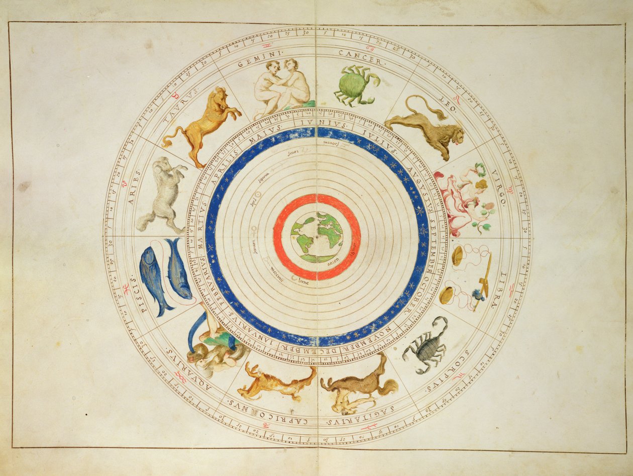
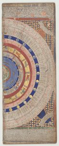
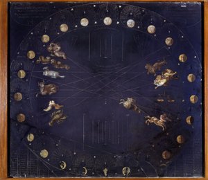
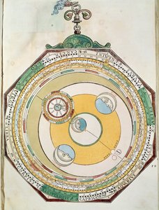
Zodiac Calendar, from an Atlas of the World in 33 Maps, Venice, 1st September 1553 by Battista Agnese

Zodiac Calendar, from an Atlas of the World in 33 Maps, Venice, 1st September 1553

(Zodiac Calendar, from an Atlas of the World in 33 Maps, Venice, 1st September 1553 (ink on vellum))


Battista Agnese

€ 141.21
Includes 13.5% VAT
   Configure art print
1553  ·  ink on vellum  ·  Image ID: 97158

Nonclassified artists  ·  Cartography

Zodiac Calendar, from an Atlas of the World in 33 Maps, Venice, 1st September 1553 by Battista Agnese. Available as an art print on canvas, photo paper, watercolor board, natural paper, or Japanese paper.
atlantic ocean · astrology · crab · cancer · lion · virgo · virgin · libra · scales · scorpio · scorpion · sagittarius · archer · capricorn · goat · aquarius · pisces · fish · water carrier · symbol · symbols · astronomy · horoscope · Museo Correr, Venice, Italy / Bridgeman Images
Other color versions of this image  
AR/3D   View in 3D / AR zu Favoriten hinzufügen   Add to favorites    Change wall color    View picture in a room

Note: Only reviews with comments are displayed. Reviews can be submitted directly after purchase in your customer account.

Configure art print

Picture Frame

Medium & Stretcher

Glass & Passepartout

Miscellaneous & Extras

 Save / compare configuration
Preview Icon

Summary

Gemälde
Veredelung
Keilrahmen
Museumslizenz

€ 141.21
(inkl. 20% MwSt)
   Add to cart

Bildschärfe: PERFEKT

If you'd like us to adjust the brightness, colors, or crop the image, we're happy to do this for you at no extra cost. Just get in touch!

Similar artworks selected for you

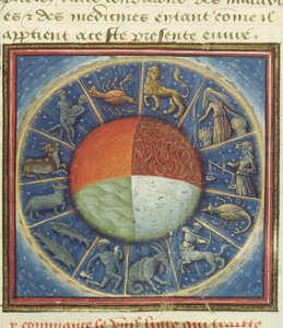
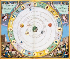
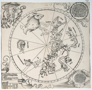
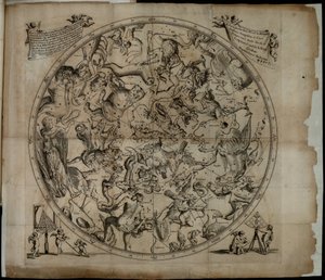
Plate 27 from Phenomena of Aratus, cosmological diagram (map of the heavens) Heitengi The Shield of Achilles, used in his battle with Hector Plate 26 from The Celestial Globe-Southern Hemisphere Catalan Atlas, Sheet 4 The signs of Zodiac. Miniature from Phillips, 4274 1661 Celestial Map of the Southern Sky 1822 - Stereographic Projection of the Northern Celestial Hemisphere Scientific board representing lunar cycles and different constellations - Athanase Kircher Map of the sky and signs of the zodiac - facsimile of an ancient composition representing the constellations of the southern sky, according to Celestial Map of the Constellations of the Southern Hemisphere (1660) The four elements of the Earth with the twelve signs of the zodiac, from Des Proprietez des Choses by Barthelemy l The Twelve Signs of the Zodiac and the Sun Celestial Planisphere: Northern Hemisphere Chart describing the movement of the Planets, 1660-1661. Unknown Image Table of the Constellations of the Northern Hemisphere, Firmamentum Sobiescianum sive Uranographia CELLARIUS, Andreas (1596-1665). Atlas Coelestis seu Harmonia Macrocosmica. 1661. Fol. 24. Hemisphaerium stellatum boreale antiquum. Representation of the Northern Hemisphere. Printed in Amsterdam by Johannes Janssonius. Early Modern Era. Engraving. SPAIN. Celestial Planisphere Showing the Signs of the Zodiac, from Chart Describing the Movement of the Planets, from Phases of the Moon and its orbit, engraving from Harmonia Macrocosmica, by Andreas Cellarius (1596-1665) Phillips, 4274 Available also through the Library of Congress Web site as a raster image. Includes index. Some plates engraved by Johannes van Loon. In addition to the 29 plates specified in the table of contents, there is an additional plate between plate Map of the Southern Hemisphere, from “The Celestial Atlas, or The Harmony of the Universe” (Atlas coelestis seu harmonia macrocosmica), published by Joannes Janssonius, Amsterdam, 1660-61, hand-coloured engraving Table of movements of Moon in relation to Sun, from Astronomicum Caesareum
Show more similar artworks

More art prints by Battista Agnese

Zodiac Calendar, from an Atlas of the World in 33 Maps, Venice, 1st September 1553 The Indian Ocean, from an Atlas of the World in 33 Maps, Venice, 1st September 1553 The Continent of Europe, from an Atlas of the World in 33 Maps, Venice, 1st September 1553 Map tracing Magellan The New World, from an Atlas of the World in 33 Maps, Venice, 1st September 1553 Nile river delta, Red Sea and Mount Sinai, from Atlas of the World in thirty-three Maps, by Battista Agnese Detail from Europe and Central Asia, from an Atlas of the World in 33 Maps, Venice, 1st September 1553 Europe and Central Asia, from an Atlas of the World in 33 Maps, Venice, 1st September 1553 Holy Land, Israel and Palestine: Jerusalem and the Dead Sea, from Atlas of the World in thirty-three Maps, by Battista Agnese Holy Land, Israel and Palestine: Sea of Galilee and the city of Tiberias, from Atlas of the World in thirty-three Maps, by Battista Agnese The Kingdoms of England and Scotland, from an Atlas of the World in 33 Maps, Venice, 1st September 1553 (detail from 330949) Nile river delta, Red Sea and Mount Sinai, from Atlas of the World in thirty-three Maps, by Battista Agnese India and Malaysia, from an Atlas of the World in 33 Maps, Venice, 1st September 1553 (detail from 330955) Central America, from an Atlas of the World in 33 Maps, Venice, 1st September 1553 (detail from 330960) Mount Sinai and the Red Sea, from an Atlas of the World in 33 Maps, Venice, 1st September 1553 (detail from 330963)
Show more works by Battista Agnese

More motifs from the category Cartography

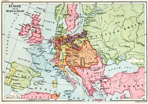
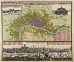
Map of Europe, published in 1700, Paris Loggan Map depicting the East Coast of North America, 1647 Map of Southern Italy, Corsica, and Sardinia known in Ancient Times as Great Greece or Magna Graecia, early 18th century Map of the World, Based on Descriptions and Coordinates Given in “Geographia”, by Ptolemy (Claudius Ptolemaeus of Alexandria) (c. 90-168 AD) Map of the Indian state of Gujarat, published under the direction of Colonel J. T. Walker, C.B., R.E., F.R.S., Surveyor General of India, 1879 Map of Regensburg, from Map of Asia, published in 1700, Paris Part of the Tabula Peutingeriana (Peutinger Table, Peutinger Map), an illustrated itinerarium of the road network in the Roman Empire. Detail of Italy from the Peutinger Map copy Map of South America, published in 1700, Paris Map of New York, from an Atlas of the United States, 1824 Map of Europe after the Peace of Tilsit in 1807, from Map and Prospect of London, c. 1710 Atlas 131 fol. 13, Map of Saintes, capital of Saintonge, from
View More from "Cartography"

A selection of our top sellers

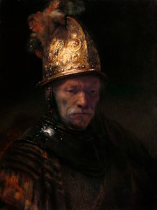
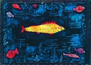
The Virgin with Angels White-Bear-King-Valemon, 1912 The Man with the Golden Helmet, c. 1650 The times of day: The evening, 1821-1822 The Goldfish Woman on the Beach, 1908 Two Men Contemplating the Moon The Kiss, 1907-08, detail of 601 The Stadtbahn Pavilion of the Vienna Underground Railway, design showing the exterior and a view of the railway platform, c.1894-97 Sky Study The Little Shepherdess Joan of Arc, 1865 Old Woman and Boy with Candles, c. 1616-1617 Two Girls in White and Blue Dresses Witches
Show more artworks


What our customers think about us


Frequently Asked Questions about Meisterdrucke


Personalizing your art print at Meisterdrucke is simple and intuitive: Choose a frame, set the image size, pick a printing medium, and add suitable glazing or a stretcher frame. We also offer additional customization options like mats, fillets, and spacers. If you have any questions, our customer service team is ready to help you create your perfect artwork.

At Meisterdrucke, you can visualize your configured artwork directly in your own room. Simply upload a photo of your space and see how the artwork looks in it. If you're visiting us on a mobile device — phone or tablet — our augmented reality feature brings the picture to life and projects it right into your room. A unique experience that combines art and technology.

Choosing the right medium is often a matter of personal taste. To give you a better idea, we've provided some images for each medium. We also offer a sample set of all paper variants, so you can decide not just visually but by touch as well. You can order the sample set free of charge — only shipping costs apply.

Don't worry! At Meisterdrucke, we don't just process orders mechanically. Every order is manually reviewed by our team. If we spot any inconsistencies or issues with your configuration, we'll get in touch with you right away. And of course, our friendly and patient support team is always here to help you with your configuration. We'll work with you by phone or email to adjust your image so the final result is exactly what you had in mind.


Still have questions?

Are you interested in an art print from our manufactory but still unsure? Do you need advice on choosing the medium or help with the order?

Our experts are happy to assist you.

+43 4257 29415
support@meisterdrucke.com

Mo-Do: 7:00 - 16:00 | Fr: 7:00 - 13:00

Still have questions?

Are you interested in an art print from our manufactory but still unsure? Do you need advice on choosing the medium or help with the order?

Our experts are happy to assist you.

+43 4257 29415
support@meisterdrucke.com
Mo-Do: 7:00 - 16:00 | Fr: 7:00 - 13:00


Meisterdrucke

   Kärntner Strasse 46
        9586 Finkenstein am Faaker See
        Austria
        +43 4257 29415
        support@meisterdrucke.com
Other languages

                   
Erfahrungen & Bewertungen zu Meisterdrucke
Post.at DHL Express Quehenberger Cargoboard
Kaiser Franz Joseph

Meisterdrucke
Kärntner Strasse 46
9586 Finkenstein am Faaker See · Austria
+43 4257 29415 · support@meisterdrucke.com
Post.at DHL Express Quehenberger Cargoboard


(c) 2026 meisterdrucke.ie