support@meisterdrucke.com  ·  0043 4257 29415

Deutsch English Italiano Español Français Nederlands Português Svenska Polski Dansk
Search by artist, work title or style – e.g. Monet, Starry Night, Impressionism, Hokusai wave, nude. Describe the scene – e.g. green meadow, abstract with lots of red, dark oil painting, standing nude next to a tree.

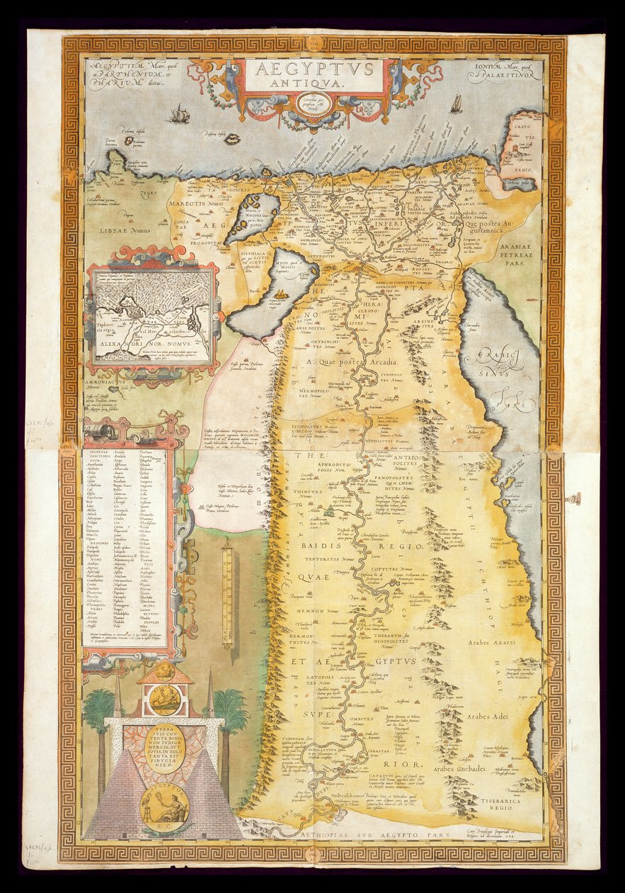
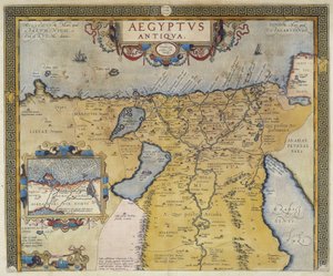
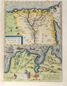
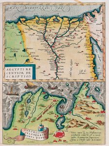
Map of Ancient Egypt, 1584 by Abraham Ortelius

Map of Ancient Egypt, 1584


Abraham Ortelius

€ 151.9
Includes 13.5% VAT
   Configure art print
1584  ·  Image ID: 274224

Nonclassified artists  ·  Cartography

Map of Ancient Egypt, 1584 by Abraham Ortelius. Available as an art print on canvas, photo paper, watercolor board, natural paper, or Japanese paper.
inset port of alexandria · historical · Private Collection / Bridgeman Images
AR/3D   View in 3D / AR zu Favoriten hinzufügen   Add to favorites    Change wall color    View picture in a room
Note: Only reviews with comments are displayed. Reviews can be submitted directly after purchase in your customer account.

Configure art print

Picture Frame

Medium & Stretcher

Glass & Passepartout

Miscellaneous & Extras

 Save / compare configuration
Preview Icon

Summary

Gemälde
Veredelung
Keilrahmen
Museumslizenz

€ 151.9
(inkl. 20% MwSt)
   Add to cart

Bildschärfe: PERFEKT

If you'd like us to adjust the brightness, colors, or crop the image, we're happy to do this for you at no extra cost. Just get in touch!

Similar artworks selected for you

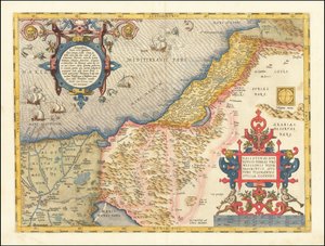
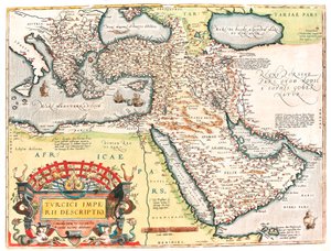
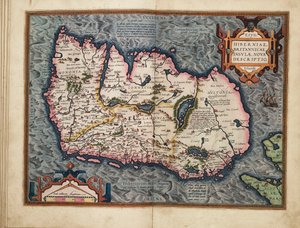
Ottoman Empire in 1588. Atlas of Abraham Ortelius Palestine, from Theatrum Orbis Terrarum by Abraham Ortelius Geography Map of the Territory of Palestine from Map of Turkey, from Theatrum Orbis Terrarum Map of Ancient Egypt - by Abraham Ortelius, Antwerp Map of the Turkish Empire Map of Ancient Egypt - by Abraham Ortelius, Antwerp Egypt, Israel, Lebanon Celebrated places in Judea and Israel, from the 1573 Map of Palestine Historical Geographical Map of Palestine. Jansson Atlas Map of Palestine, from Theatrum Orbis Terrarum, 1570 Turcici imperii descriptio Geography map of the territory of the Ottoman Empire taken from Israel, West Jordan Croatia, Romania, Bosnia and Herzegovina, Serbia, Bulgaria, Montenegro, Kosovo, Albania, Macedonia, Greece, Turkey, southern Russia, Georgia, Azerbaijan, Armenia, Iran, Iraq, Syria, Lebanon, Israel, Jordan, Saudi Arabia, Kuwait, Qatar, Bahrain, United Northwest Africa with the Canaries (engraving) 1624 Detail Map of the Holy Land Map of the Holy Land (Israel, Palestine) (etching) Palestine and the Promised Land, from the ’Theatrum Orbis Terrarum’, 1603 Ivdaea sev Palaestina ob sacratissima Redemtoris vestigia hodie dicta Terra Sancta Map of the Middle East, from Theatrum Orbis Terrarum, 1570 1596 Hollandia Comitatus Kaerius Map of the Nile Delta and of the Ancient City of Carthage, from Theatrum Orbis Terrarum by Abraham Ortelius Gabon, Angola and Congo Gabon, Angola and Congo Foggia, Italy, in Aegypti Recentior Descriptio. - Carthaginis Celeberrimi Sinus Typus. Geography map of Egypt with the cities of the Nile and Carthage (Tunisia) from “Theatrum Orbis Terrarum” by Abraham Ortelius Map of the gold-bearing regions in Peru, from the Atlas Maior, Sive Cosmographia Blaviana, 1662 Ireland
Show more similar artworks

More art prints by Abraham Ortelius

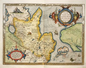
The Expedition of Alexander the Great, from the World Map Typus Orbis Terrarum Map of the Pacific, China and America, 1589, by Abrahamus Ortelius (1527-98) Map of Ancient Egypt, 1584 Pontus Euxinus Map of the Voyage of the Argonauts, from the “Theatrum Orbis Terrarum”, 1603 Map of the world: “Typus Orbis Terrarum”, from Ortelius Typus Orbis Terrarum, map of the world, from Ortelius Map of Tartary, Northern-Central Asia, from Theatrum Orbis Terrarum by Abraham Ortelius Aegypti Recentior Descriptio. - Carthaginis Celeberrimi Sinus Typus. Geography map of Egypt with the cities of the Nile and Carthage (Tunisia) from “Theatrum Orbis Terrarum” by Abraham Ortelius Celebrated places in Judea and Israel, from the Map of Ancient Egypt - by Abraham Ortelius, Antwerp A. Velleius. Islandia Map of Europe New description of Ireland, the British Isles
Show more works by Abraham Ortelius

More motifs from the category Cartography

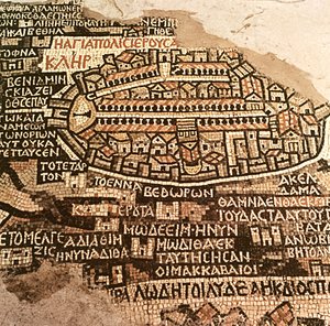
Map of the Siege of St. Jean d Map of Africa, published in 1700, Paris Map of Spain and Portugal showing the political divisions in the country at the death of Alfonso III, King of Leon, from Map of the Southeastern Part of North America, 1721 Map from Hull, detail from the map of the North and East Ridings of Yorkshire, engraved by Jodocus Hondius (1563-1612) from John Speed’s ’Theatre of the Empire of Great Britain’, published by John Sudbury and Georg The City of Jerusalem and the surrounding area, detail from the Madaba mosaic map, Byzantine, 6th century Map of Berlin, published by Carl Glück Verlag, Berlin, 1860 Map of East London, plates 20-21, from ’Cary’s Actual Survey of Middlesex’, 1786 Loggan Map of North and South America, from the Map showing the principal stars which are visible in Great Britain, Plate XXIX, from Map of Spain and Portugal, 1731 Map of the United States, 1816 An Astronomer, detail from a map of the planets, from ‘A Celestial Atlas, or The Harmony of the Universe’ (Atlas coelestis seu harmonia macrocosmica), published by Joannes Janssonius, Amsterdam, 1660-61
View More from "Cartography"

A selection of our top sellers

Poplars on the River Seine The Destruction of Herculaneum and Pompeii The Soul of the Rose, 1908 Beethoven Frieze Waterlilies, 1916-19 Mont Sainte-Victoire Engagement Between the Bonhomme Richard and the Serapis off Flamborough Head, 1779 On Board a Sailing Ship Dominant Curve, 1936 The Olive Trees Monk by the Sea Winter Landscape with Ice Skaters, circa 1608 The Death of Socrates The Piri Reis World Map, 1513 Farm Garden
Show more artworks


What our customers think about us


Frequently Asked Questions about Meisterdrucke


Personalizing your art print at Meisterdrucke is simple and intuitive: Choose a frame, set the image size, pick a printing medium, and add suitable glazing or a stretcher frame. We also offer additional customization options like mats, fillets, and spacers. If you have any questions, our customer service team is ready to help you create your perfect artwork.

At Meisterdrucke, you can visualize your configured artwork directly in your own room. Simply upload a photo of your space and see how the artwork looks in it. If you're visiting us on a mobile device — phone or tablet — our augmented reality feature brings the picture to life and projects it right into your room. A unique experience that combines art and technology.

Choosing the right medium is often a matter of personal taste. To give you a better idea, we've provided some images for each medium. We also offer a sample set of all paper variants, so you can decide not just visually but by touch as well. You can order the sample set free of charge — only shipping costs apply.

Don't worry! At Meisterdrucke, we don't just process orders mechanically. Every order is manually reviewed by our team. If we spot any inconsistencies or issues with your configuration, we'll get in touch with you right away. And of course, our friendly and patient support team is always here to help you with your configuration. We'll work with you by phone or email to adjust your image so the final result is exactly what you had in mind.


Still have questions?

Are you interested in an art print from our manufactory but still unsure? Do you need advice on choosing the medium or help with the order?

Our experts are happy to assist you.

+43 4257 29415
support@meisterdrucke.com

Mo-Do: 7:00 - 16:00 | Fr: 7:00 - 13:00

Still have questions?

Are you interested in an art print from our manufactory but still unsure? Do you need advice on choosing the medium or help with the order?

Our experts are happy to assist you.

+43 4257 29415
support@meisterdrucke.com
Mo-Do: 7:00 - 16:00 | Fr: 7:00 - 13:00


Meisterdrucke

   Kärntner Strasse 46
        9586 Finkenstein am Faaker See
        Austria
        +43 4257 29415
        support@meisterdrucke.com
Other languages

                   
Erfahrungen & Bewertungen zu Meisterdrucke
Post.at DHL Express Quehenberger Cargoboard
Kaiser Franz Joseph

Meisterdrucke
Kärntner Strasse 46
9586 Finkenstein am Faaker See · Austria
+43 4257 29415 · support@meisterdrucke.com
Post.at DHL Express Quehenberger Cargoboard


(c) 2026 meisterdrucke.ie