support@meisterdrucke.com  ·  0043 4257 29415

Deutsch English Italiano Español Français Nederlands Português Svenska Polski Dansk
Search by artist, work title or style – e.g. Monet, Starry Night, Impressionism, Hokusai wave, nude. Describe the scene – e.g. green meadow, abstract with lots of red, dark oil painting, standing nude next to a tree.

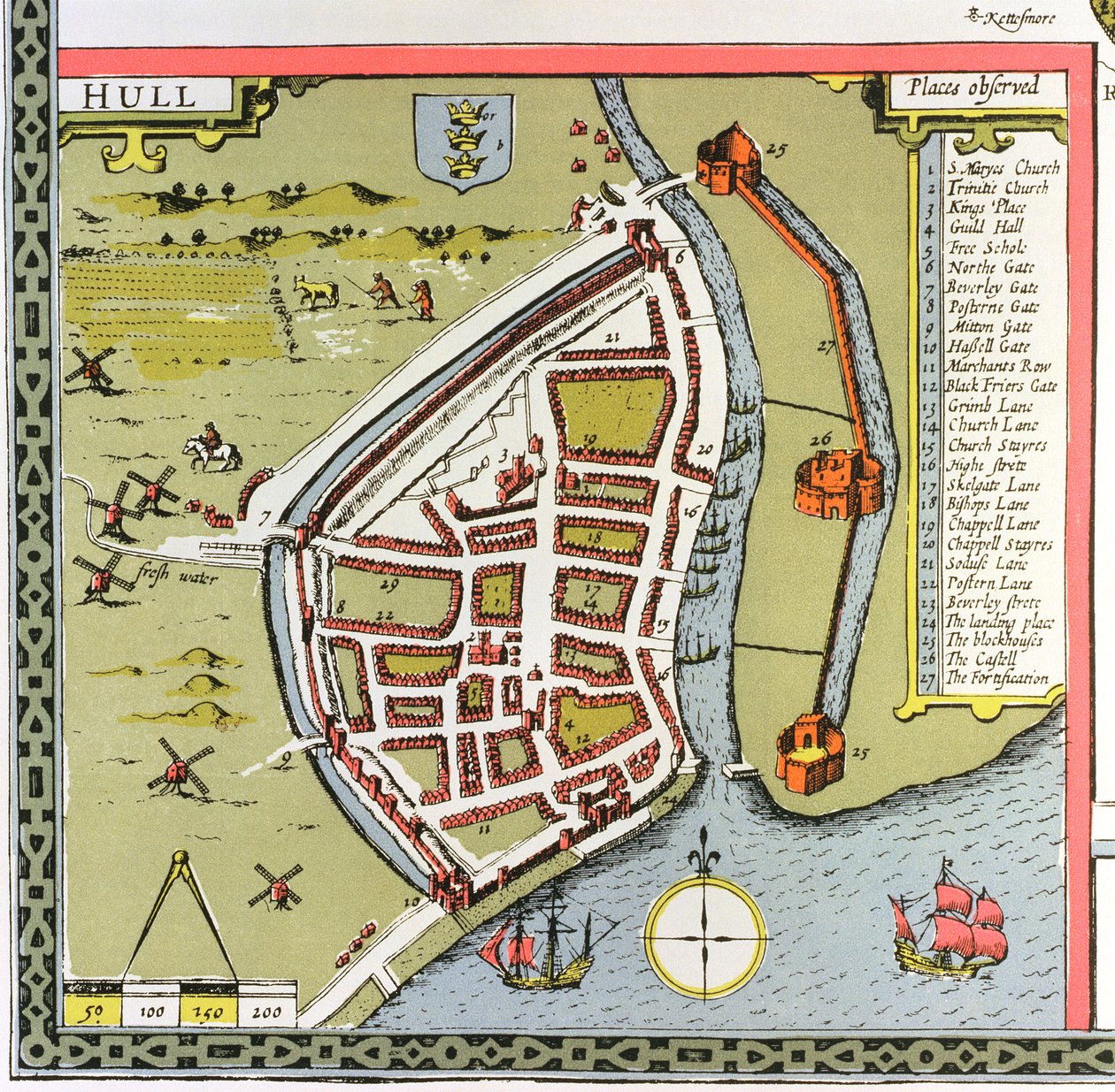
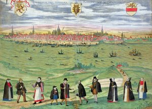
Hull, detail from the map of the North and East Ridings of Yorkshire, engraved by Jodocus Hondius (1563-1612) from John Speed’s ’Theatre of the Empire of Great Britain’, published by John Sudbury and Georg by John Speed

Hull, detail from the map of the North and East Ridings of Yorkshire, engraved by Jodocus Hondius (1563-1612) from John Speed’s ’Theatre of the Empire of Great Britain’, published by John Sudbury and Georg

(Hull, detail from the map of the North and East Ridings of Yorkshire, engraved by Jodocus Hondius (1563-1612) from John Speed's 'Theatre of the Empire of Great Britain', pub. by John Sudbury and Georg)


John Speed

€ 118.22
Includes 13.5% VAT
   Configure art print
Undated  ·  hand coloured copper engraving  ·  Image ID: 111332

Nonclassified artists  ·  Cartography

Hull, detail from the map of the North and East Ridings of Yorkshire, engraved by Jodocus Hondius (1563-1612) from John Speed’s ’Theatre of the Empire of Great Britain’, published by John Sudbury and Georg by John Speed. Available as an art print on canvas, photo paper, watercolor board, natural paper, or Japanese paper.
speed · 1552-1629 · plan · town · city · farming · plough · roads · river · coat of arms · compass · crest · Private Collection / Bridgeman Images
AR/3D   View in 3D / AR zu Favoriten hinzufügen   Add to favorites    Change wall color    View picture in a room
0 Reviews

Configure art print

Picture Frame

Medium & Stretcher

Glass & Passepartout

Miscellaneous & Extras

 Save / compare configuration
Preview Icon

Summary

Gemälde
Veredelung
Keilrahmen
Museumslizenz

€ 118.22
(inkl. 20% MwSt)
   Add to cart

Bildschärfe: PERFEKT

If you'd like us to adjust the brightness, colors, or crop the image, we're happy to do this for you at no extra cost. Just get in touch!

Similar artworks selected for you

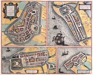
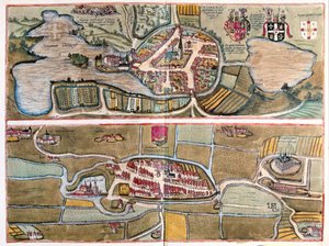
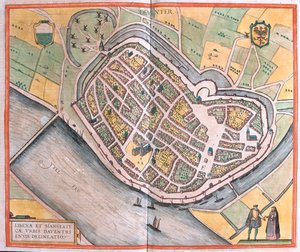
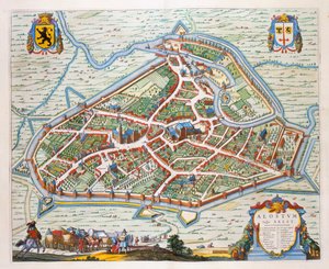
Venlo, 1649 Stade, Hamburg, Germany Staden, Germany - in Stade Located on the Lower Elbe River, Germany (engraving) Plan of La Rochelle, France City of Dunkirk during the Spanish domination: plan showing the coastal defences, castle, and bastion fortifications, 1649 Ancona, Italy Brielle, Netherlands La Rochelle, France Plan of Ancona (Ancona), Italy Map of Ancona Gelre, 1649 Eckernforde, Germany - in Kolding, Denmark - in Bolsward, Stavoren, Harlingen and Hindelopen, Netherlands - in Bolsward, Stavoren, Harlingen and Hindeloopen, Netherlands (engraving) The Port of Kolding on the Jutland Peninsula, Denmark (engraving) Eutin, Germany - Tonder, Denmark - in Deventer, Netherlands Deventer, Netherlands - in Map of Bremen (engraving) Aalst, 1649 Eckernforde, Germany (engraving) Helsingor, Denmark - Helsingborg, Sweden (engraving) Enkhuizen, Netherlands - in Szczecin, Poland (engraving) Zamość, Poland - in Kolding, Denmark Eutin, Germany and Tonder, Denmark (engraving)
Show more similar artworks

More art prints by John Speed

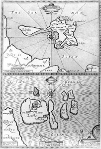
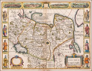
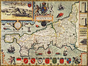
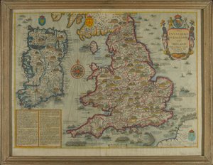
A new and accurate map of the world, 1676 The Turkish Empire, 1626 Maps of Holy Island and Farne Island, Northumberland, from Map of Tartary by John Speed The Bishoprick and City of Durham, engraved by Jodocus Hondius (1563-1612) from John Speed’s “Theatre of the Empire of Great Britain”, published by John Sudbury and George Humble, 1611-12 (hand-coloured) Middlesex described with the most famous cities of London and Westminster, from Speed A New Map of the Roman Empire, from "A Prospect of the Most Famous Parts of the World", published by Bassett and Chiswell, 1676 The Kingdome of Scotland, engraved by Jodocus Hondius (1563-1612) from ‘Theatre of the Empire of Great Britain’, published by John Sudbury and George Humble, 1611-12 Lancashire in 1610, from John Speed’s ’Theatre of the Empire of Great Britaine’, first edition, published 1611-12 Map of Cornwall from the Map of Northumberland, from Essex, engraved by Jodocus Hondius (1563-1612) from John Speed A map of New England and New York from John Speed Dorsetshire, engraved by Jodocus Hondius (1563-1612) from John Speed Map depicting the Invasions of England and Ireland with all their Civil Wars since the Conquest, c. 1627
Show more works by John Speed

More motifs from the category Cartography

Map of Prussia and Poland, published by William Blackwood and Sons, Edinburgh and London, 1848 Map of Parma, Siena, Palermo and Drepanum, from ’Civitates Orbis Terrarum’ by Georg Braun (1541-1622) and Frans Hogenberg (1535-90), c.1572 The Maple of Ratibor, Silesia, 1893 Maps of the moon, illustration from Sidereus Nuncius by Galileo Galilei, 1610 Map of Ostia, from ‘Civitates Orbis Terrarum’ by Georg Braun (1541-1622) and Frans Hogenberg (1535-90), c. 1572-1617 Detail of Copy of a Catalan Map of Europe and North Africa, presented to Charles V of France in 1381 Map of Rostock, from ’Civitates Orbis Terrarum’ by Georg Braun (1541-1622) and Frans Hogenberg (1535-90), c. 1572-1617 Ms 988, volume 3, fol. 45, plan and map of the town and citadel of Bayonne, from the A Map of the Countries Thirty Degrees round the North Pole, from Map of the County of Middlesex, published 1819 Fol. 13 Map of South America and the Magellan Straits, from an atlas, 1571 Map of Sixteenth Century India, from the Map of Liège, from ’Civitates Orbis Terrarum’ by Georg Braun (1541-1622) and Frans Hogenberg (1535-90), c. 1572 Map illustrating the Naval Attack on England by Napoleon Bonaparte (1769-1821), c. 1803-04 Map of Europe, illustration from Le Magasin Pittoresque, 1849
View More from "Cartography"

A selection of our top sellers

Arab Café (Little Turk) Summer Afternoon, 1865 The Parquet Planers Avenue in Overveen Dancers in blue, 1890 View of Dresden by Moonlight Tilla Durieux 1880-1971 as Circe, c.1913 Will He Come Back?, c.1918 Valley of the Yosemite Oriental Nude Carnival Evening Autumn Landscape with Boats Irises Impression, Sunrise, 1872 Water Serpents II
Show more artworks


What our customers think about us


Frequently Asked Questions about Meisterdrucke


Personalizing your art print at Meisterdrucke is simple and intuitive: Choose a frame, set the image size, pick a printing medium, and add suitable glazing or a stretcher frame. We also offer additional customization options like mats, fillets, and spacers. If you have any questions, our customer service team is ready to help you create your perfect artwork.

At Meisterdrucke, you can visualize your configured artwork directly in your own room. Simply upload a photo of your space and see how the artwork looks in it. If you're visiting us on a mobile device — phone or tablet — our augmented reality feature brings the picture to life and projects it right into your room. A unique experience that combines art and technology.

Choosing the right medium is often a matter of personal taste. To give you a better idea, we've provided some images for each medium. We also offer a sample set of all paper variants, so you can decide not just visually but by touch as well. You can order the sample set free of charge — only shipping costs apply.

Don't worry! At Meisterdrucke, we don't just process orders mechanically. Every order is manually reviewed by our team. If we spot any inconsistencies or issues with your configuration, we'll get in touch with you right away. And of course, our friendly and patient support team is always here to help you with your configuration. We'll work with you by phone or email to adjust your image so the final result is exactly what you had in mind.


Still have questions?

Are you interested in an art print from our manufactory but still unsure? Do you need advice on choosing the medium or help with the order?

Our experts are happy to assist you.

+43 4257 29415
support@meisterdrucke.com

Mo-Do: 7:00 - 16:00 | Fr: 7:00 - 13:00

Still have questions?

Are you interested in an art print from our manufactory but still unsure? Do you need advice on choosing the medium or help with the order?

Our experts are happy to assist you.

+43 4257 29415
support@meisterdrucke.com
Mo-Do: 7:00 - 16:00 | Fr: 7:00 - 13:00


Meisterdrucke

   Kärntner Strasse 46
        9586 Finkenstein am Faaker See
        Austria
        +43 4257 29415
        support@meisterdrucke.com
Other languages

                   
Erfahrungen & Bewertungen zu Meisterdrucke
Post.at DHL Express Quehenberger Cargoboard
Kaiser Franz Joseph

Meisterdrucke
Kärntner Strasse 46
9586 Finkenstein am Faaker See · Austria
+43 4257 29415 · support@meisterdrucke.com
Post.at DHL Express Quehenberger Cargoboard


(c) 2026 meisterdrucke.ie