support@meisterdrucke.com  ·  0043 4257 29415

Deutsch English Italiano Español Français Nederlands Português Svenska Polski Dansk
Search by artist, work title or style – e.g. Monet, Starry Night, Impressionism, Hokusai wave, nude. Describe the scene – e.g. green meadow, abstract with lots of red, dark oil painting, standing nude next to a tree.

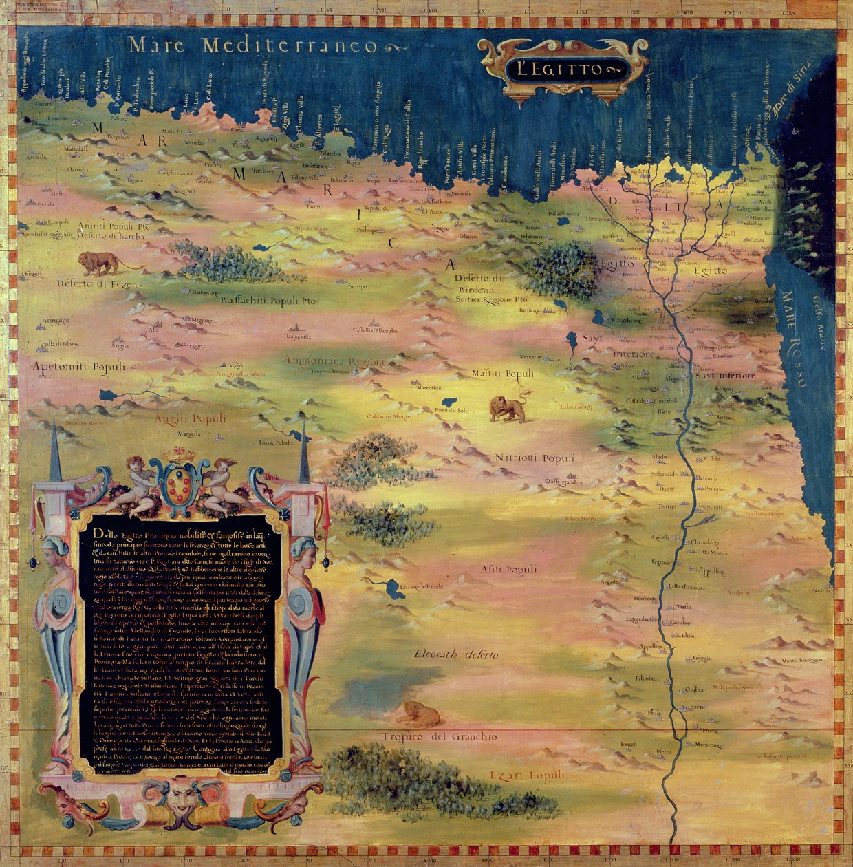
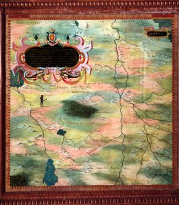
Map of Sixteenth Century Egypt, from the

Map of Sixteenth Century Egypt, from the 'Sala delle Carte Geografiche' (Hall of Geographical Maps), 1575

(Map of Sixteenth Century Egypt, from the 'Sala delle Carte Geografiche' (Hall of Geographical Maps) 1575 )


Stefano Bonsignori

€ 121.09
Includes 13.5% VAT
   Configure art print
1575  ·  oil on wood  ·  Image ID: 293285

Nonclassified artists  ·  Cartography

Map of Sixteenth Century Egypt, from the 'Sala delle Carte Geografiche' (Hall of Geographical Maps), 1575 by Stefano Bonsignori. Available as an art print on canvas, photo paper, watercolor board, natural paper, or Japanese paper.
cartography · nile · cartridge · Palazzo Vecchio (Palazzo della Signoria) Florence, Italy / Bridgeman Images
Other color versions of this image  
AR/3D   View in 3D / AR zu Favoriten hinzufügen   Add to favorites    Change wall color    View picture in a room
0 Reviews

Configure art print

Picture Frame

Medium & Stretcher

Glass & Passepartout

Miscellaneous & Extras

 Save / compare configuration
Preview Icon

Summary

Gemälde
Veredelung
Keilrahmen
Museumslizenz

€ 121.09
(inkl. 20% MwSt)
   Add to cart

Bildschärfe: PERFEKT

If you'd like us to adjust the brightness, colors, or crop the image, we're happy to do this for you at no extra cost. Just get in touch!

Similar artworks selected for you

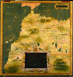
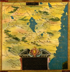
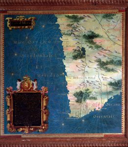
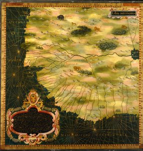
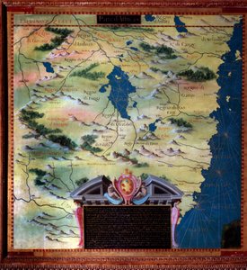
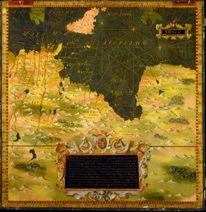
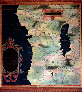
Africa (Nubia and Egypt) Map by Stefano Bonsignori Niger, Nigeria and Cameroon Niger, Nigeria and Cameroon North Africa (Morocco) and Strait of Gibraltar Map by Stefano Bonsignori Sudan Sudan Mauritania, Mali, Morocco and Algeria Map of Western African Coasts by Stefano Bonsignori, 1581 Mauritania, Mali, Morocco and Algeria Kenya and Tanzania Kenya and Tanzania Western Africa: Senegal, Guinea, Mali, Sierra Leone, Liberia, Ivory Coast, Burkina Faso South Africa and Cape of Good Esperance Map Made by Stefano Bonsignori Western Africa Including Senegal, Guinea, Mali, Sierra Leone, Liberia, Ivory Coast, Burkina Faso South Africa (Mozambique) Map made by Stefano Bonsignori (? -1589) Italian cosmographer and painter. Around 1581. Florence, Palazzo Vecchio, Sala del Mappamondo Gabon, Angola and Congo Gabon, Angola and Congo Tunisia and Libya Tunisia and Libya West Africa (Congo and Angola) Map Made by Stefano Bonsignori Namibia, Botswana and South Africa Map of the Nile Region South of Nubia North Africa: Cyrenaic and Marmarique Region Map Made by Stefano Bonsignori Horn of Africa: Ethiopia and Somalia Namibia, Botswana and South Africa Horn of Africa: Ethiopia and Somalia Karelia and Northern Russia
Show more similar artworks

More art prints by Stefano Bonsignori

Map of Florence, 1584 Map of the Sixteenth-Century British Isles, from the France Italy Map of Sixteenth-Century France, from the Map of Sixteenth-Century Germany, from the Map of Sixteenth Century Turkey, from the Map of Sixteenth Century Egypt, from the Map of Sixteenth Century Japan, from the Map of the Bay of Bengal, the China Sea and Java Central Northern Europe: Belgium, The Netherlands, Denmark, Germany, Poland, Switzerland, Austria and Hungary Map of Sixteenth Century Arabia, from the Western Africa: Senegal, Guinea, Mali, Sierra Leone, Liberia, Ivory Coast, Burkina Faso Western Africa Including Senegal, Guinea, Mali, Sierra Leone, Liberia, Ivory Coast, Burkina Faso Central Northern Europe: Belgium, The Netherlands, Denmark, Germany, Poland, Switzerland, Austria
Show more works by Stefano Bonsignori

More motifs from the category Cartography

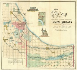
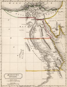
Bologna, detail from the “Galleria delle Carte Geografiche”, 1580-83 MS W.658 fol.304v Map of the Nile from the Kitab-I Bahriye Plan and Map of Saint-Jean-Pied-de-Port, from the Atlas Louis XIV, 1683-88 Map of South Chicago Map of England, Britannia Antiqua, from “The Atlas of Ancient Geography” by Samuel Butler, published in London, c. 1829 Map of the Battle of Bautzen, published by William Blackwood and Sons, Edinburgh and London, 1848 Map of Brazil Map Depicting the East Coast of North America, 1647 Fol. 16 Map of Persia, Arabia and India, from an atlas, 1571 Map of Battersea & Chelsea, 1748 Fol. 99 Map of Saint-Savinien on the Charente River in 1713, from Map of the Battles of Champaubert and Vauchamps, published by William Blackwood and Sons, Edinburgh and London, 1848 Map of South Pacific Island Map of Aegyptus Antiqua (Ancient Egypt), drawn and engraved by Sydney Hall, c. 1826 Map of Australia and New Zealand
View More from "Cartography"

A selection of our top sellers

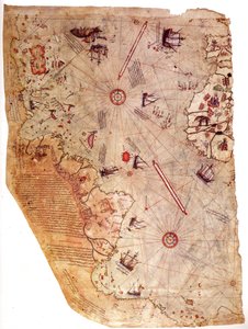
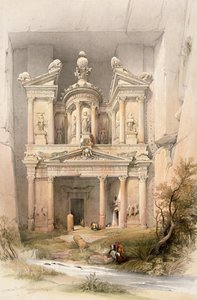
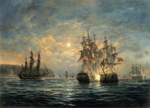
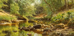
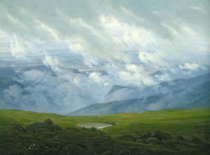
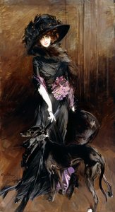
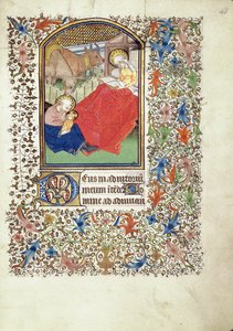
One of the Family The Piri Reis World Map, 1513 Landscape in the Riesengebirge The Times of Day: The Morning, 1821-1822 Hygieia Petra, March 7th 1839, plate 92 from Volume III of „The Holy Land“, engraved by Louis Haghe (1806-85), published 1849 Engagement Between the Bonhomme Richard and the Serapis off Flamborough Head, 1779 P. Mönsted, Sunny Forest Stream Drifting Clouds Female Lute Player Portrait of the Marchesa Luisa Casati, with a Greyhound, 1908 Manuscript 69 f. 48r, Birth of Jesus, from the Book of Hours of the "Master of Jacques de Besançon" Mother Mushroom with her Children, c. 1900 Judith with the Head of Holofernes Winter Landscape with Skaters and a Bird Trap, 1565
Show more artworks


What our customers think about us


Frequently Asked Questions about Meisterdrucke


Personalizing your art print at Meisterdrucke is simple and intuitive: Choose a frame, set the image size, pick a printing medium, and add suitable glazing or a stretcher frame. We also offer additional customization options like mats, fillets, and spacers. If you have any questions, our customer service team is ready to help you create your perfect artwork.

At Meisterdrucke, you can visualize your configured artwork directly in your own room. Simply upload a photo of your space and see how the artwork looks in it. If you're visiting us on a mobile device — phone or tablet — our augmented reality feature brings the picture to life and projects it right into your room. A unique experience that combines art and technology.

Choosing the right medium is often a matter of personal taste. To give you a better idea, we've provided some images for each medium. We also offer a sample set of all paper variants, so you can decide not just visually but by touch as well. You can order the sample set free of charge — only shipping costs apply.

Don't worry! At Meisterdrucke, we don't just process orders mechanically. Every order is manually reviewed by our team. If we spot any inconsistencies or issues with your configuration, we'll get in touch with you right away. And of course, our friendly and patient support team is always here to help you with your configuration. We'll work with you by phone or email to adjust your image so the final result is exactly what you had in mind.


Still have questions?

Are you interested in an art print from our manufactory but still unsure? Do you need advice on choosing the medium or help with the order?

Our experts are happy to assist you.

+43 4257 29415
support@meisterdrucke.com

Mo-Do: 7:00 - 16:00 | Fr: 7:00 - 13:00

Still have questions?

Are you interested in an art print from our manufactory but still unsure? Do you need advice on choosing the medium or help with the order?

Our experts are happy to assist you.

+43 4257 29415
support@meisterdrucke.com
Mo-Do: 7:00 - 16:00 | Fr: 7:00 - 13:00


Meisterdrucke

   Kärntner Strasse 46
        9586 Finkenstein am Faaker See
        Austria
        +43 4257 29415
        support@meisterdrucke.com
Other languages

                   
Erfahrungen & Bewertungen zu Meisterdrucke
Post.at DHL Express Quehenberger Cargoboard
Kaiser Franz Joseph

Meisterdrucke
Kärntner Strasse 46
9586 Finkenstein am Faaker See · Austria
+43 4257 29415 · support@meisterdrucke.com
Post.at DHL Express Quehenberger Cargoboard


(c) 2026 meisterdrucke.ie