-
 ×
- Home
- Art Prints ▸
- Artists ▸
- Categories ▸
- Art Styles ▸
- Picture Frame ▸
- All decorative frames
- Baroque decorative frames
- Simple decorative frames
- Rustic decorative frames
- Floating frames
- Golden decorative frames
- Silver decorative frames
- White decorative frames
- Black decorative frames
- Wood-look decorative frames
- Shabby chic decorative frames
- Thin decorative frames
- Thick decorative frames
- Print Media ▸
- All print media
- Canvas Leonardo (satin)
- Canvas Salvador (matte)
- Canvas Raphael (matte)
- FineArt Photo Matte
- FineArt Photo Satin
- FineArt Photo Baryte
- FineArt Photo Glossy
- Watercolor Paper Munch
- Watercolor Paper Renoir
- Watercolor Paper Turner
- Watercolor Paper Dürer
- Natural Line Hemp
- Natural Line Rice
- Kozo White, 110g
- Kozo Natural, 110g
- Inbe White, 125g
- Unryu, 55g
- Bamboo, 110g
- Premio Unryu, 165g
- Murakumo Natural, 42g
- Bizan Natural, 300g
- Bizan White, 300g
- Aluminum composite 3mm
- Acrylic glass 5mm
- Order Sample Set
- Which print medium is right for you?
Canvas
Photo Paper
Watercolor Board
Natural Line
Japanese Paper
Special Media
More information
- Help & Service ▸
- Contact us
- Sell your art
- Frequently Asked Questions
- Job Openings
- Complaint
- Order Samples
- Order Vouchers
- Shipping costs
- Production time
- Sustainability
- Image research
- Special requests
- Who are we?
- Pricing policy
- Company policy
- Quality promise
- Awards
- Stretcher frame
- Mats
- Decorative frames
- Glazing
- Fillets
- Mounting systems
- Print media
- Care tips
- Legal Notice
- Terms & Conditions
- Privacy Policy
- Right of Cancellation
Info & Service
More information
Good to know
Legal information
- Shop ▸
- Contact





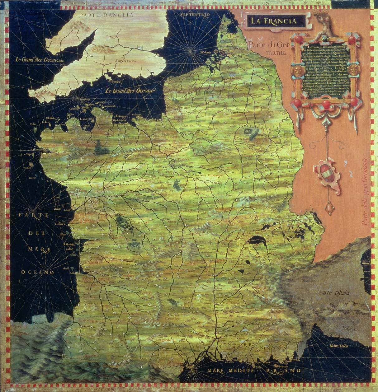
.jpg)
.jpg)

.jpg)
 View in 3D / AR
 Add to favorites
 Change wall color
 View picture in a room
.jpg "Karelia and Northern Russia")
.jpg "Gabon, Angola and Congo")
.jpg "Western Africa: Senegal, Guinea, Mali, Sierra Leone, Liberia, Ivory Coast, Burkina Faso")
.jpg "Gabon, Angola and Congo")
.jpg "Map of Sixteenth Century Spain, from the")
.jpg "Spain")
.jpg "Niger, Nigeria and Cameroon")
.jpg "Map of Sixteenth-Century Germany, from the")
.jpg "Niger, Nigeria and Cameroon")
.jpg "Central Northern Europe: Belgium, The Netherlands, Denmark, Germany, Poland, Switzerland, Austria and Hungary")
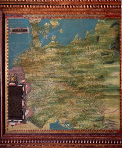
.jpg "Sudan")
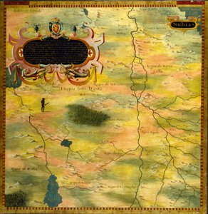
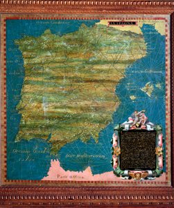

.jpg "Namibia, Botswana and South Africa")
.jpg "Mauritania, Mali, Morocco and Algeria")
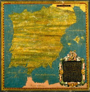
.jpg "Central Northern Europe: Belgium, The Netherlands, Denmark, Germany, Poland, Switzerland, Austria")
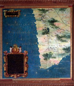
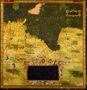
.jpg "Namibia, Botswana and South Africa")
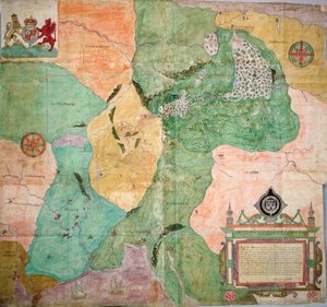
.jpg "Map of Florence, 1584")
.jpg "Map of the Sixteenth-Century British Isles, from the")
.jpg "Italy")
 1575 - (MeisterDrucke-182096).jpg "Map of Sixteenth Century Turkey, from the")
.jpg "Map of Sixteenth Century Egypt, from the")
.jpg "Map of Sixteenth Century Japan, from the")
.jpg "Map of the Bay of Bengal, the China Sea and Java")
.jpg "Map of Sixteenth Century Arabia, from the")
.jpg "Bologna, detail from the “Galleria delle Carte Geografiche”, 1580-83")
 - (MeisterDrucke-134280).jpg "MS W.658 fol.304v Map of the Nile from the Kitab-I Bahriye")
.jpg "Plan and Map of Saint-Jean-Pied-de-Port, from the Atlas Louis XIV, 1683-88")
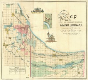
.jpg "Map of England, Britannia Antiqua, from “The Atlas of Ancient Geography” by Samuel Butler, published in London, c. 1829")
 - (MeisterDrucke-156814).jpg "Map of the Battle of Bautzen, published by William Blackwood and Sons, Edinburgh and London, 1848")
 - (MeisterDrucke-86697).jpg "Map of Brazil")
 - (MeisterDrucke-190032).jpg "Map Depicting the East Coast of North America, 1647")
.jpg "Fol. 16 Map of Persia, Arabia and India, from an atlas, 1571")
.jpg "Map of Battersea & Chelsea, 1748")
 - (MeisterDrucke-86163).jpg "Fol. 99 Map of Saint-Savinien on the Charente River in 1713, from")
.jpg "Map of the Battles of Champaubert and Vauchamps, published by William Blackwood and Sons, Edinburgh and London, 1848")
.jpg "Map of South Pacific Island")
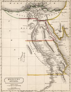
.jpg "Map of Australia and New Zealand")
.jpg "One of the Family")
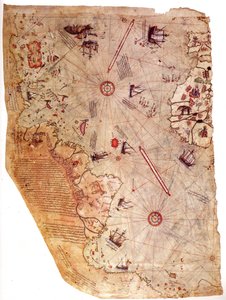


.jpg "Hygieia")
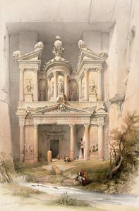
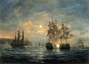
.jpg "Female Lute Player")

.jpg "Mother Mushroom with her Children, c. 1900")
.jpg "Judith with the Head of Holofernes")
.jpg "Winter Landscape with Skaters and a Bird Trap, 1565")

 +43 4257 29415
 support@meisterdrucke.com
 Mo-Do: 7:00 - 16:00 | Fr: 7:00 - 13:00






