support@meisterdrucke.com  ·  0043 4257 29415

Deutsch English Italiano Español Français Nederlands Português Svenska Polski Dansk
Search by artist, work title or style – e.g. Monet, Starry Night, Impressionism, Hokusai wave, nude. Describe the scene – e.g. green meadow, abstract with lots of red, dark oil painting, standing nude next to a tree.

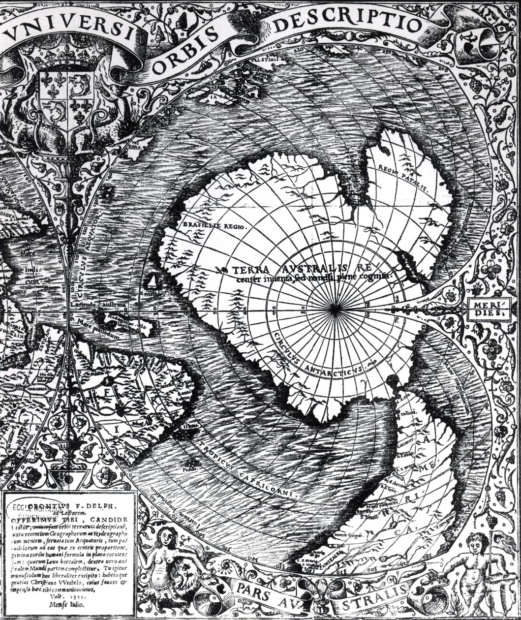
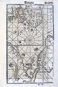
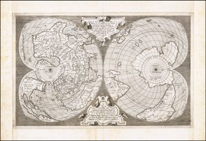
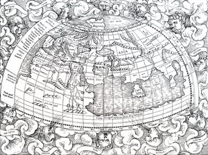
The South Pole, detail from the ’Mappamonde à Projection Cordiforme’, 1531 by Oronce Fine

The South Pole, detail from the ’Mappamonde à Projection Cordiforme’, 1531

(The South Pole, detail from the 'Mappamonde a Projection Cordiforme', 1531 )


Oronce Fine

€ 133.69
Includes 13.5% VAT
   Configure art print
1531  ·  engraving  ·  Image ID: 189694

Nonclassified artists  ·  Cartography

The South Pole, detail from the ’Mappamonde à Projection Cordiforme’, 1531 by Oronce Fine. Available as an art print on canvas, photo paper, watercolor board, natural paper, or Japanese paper.
le pole sud · southern · terra australlis · antarctic · world map · Private Collection / Bridgeman Images
AR/3D   View in 3D / AR zu Favoriten hinzufügen   Add to favorites    Change wall color    View picture in a room
0 Reviews

Configure art print

Picture Frame

Medium & Stretcher

Glass & Passepartout

Miscellaneous & Extras

 Save / compare configuration
Preview Icon

Summary

Gemälde
Veredelung
Keilrahmen
Museumslizenz

€ 133.69
(inkl. 20% MwSt)
   Add to cart

Bildschärfe: PERFEKT

If you'd like us to adjust the brightness, colors, or crop the image, we're happy to do this for you at no extra cost. Just get in touch!

Similar artworks selected for you

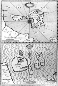
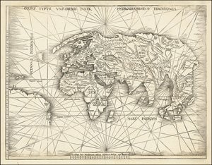
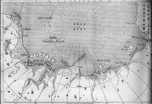
Ptolemy of Alexandria New and Complete Description of the Whole World Part of Captain J Smith Map of the North Pole and Northern Areas (1628) The North Polar Regions Iceland, circa 1539 (detail) A map of the Americas, 1590-1601 Plan of the Bay and Harbour of Rio de Janeiro on the Coast of Brazil Early 17th Century Map of the World, After Mercator, with Inset Portraits of Explorers (Drake, Magellan, Thomas Cavendish and Oliver van der Nort), the Elements, and Eclipses Septentrionalium Terrarum Descriptio, c.1595 Tipus Orbis Universalis Septentrionalium terrarum descriptio, map of the Arctic, 1595 A Map of the North Pole Map of the Countries Around the Arctic Circle with the Three Voyages of the Dutch in 1598 World map; Vera Totius Expeditionis Nauticae, charting the circumnavigation of the globe by (left) Sir Francis Drake (1540-96) and (right) Thomas Cavendish (1560-92), c. 1595 Maps of Holy Island and Farne Island, Northumberland, from 1513 Map - Orbis Typus Universalis Map of North and South America Showing the Connection of the Two Continents by an Isthmus. Published in Map of Europe, Africa, and the Americas Map of the voyage of the The Cottoniana or Anglo-Saxon Map MS Tib. BV Bristol Channel World Map, Mundu [sic] Spericum... Cognosces Diligentia Joani Mathei Contareni, by Contarini, Giovanni and Francesco Rosselli Map Showing Drake Map of the New England coastline in 1614, engraved by Simon de Passe (1595-1647), 1616 Southern Celestial Images The Thames Estuary from The Sea-Mirrour atlas by Willem Janszoon Blaeu, published in Amsterdam in 1633 Double Cordiform Map of the World, by Antonio Salamanca Map including Massachusetts Bay
Show more similar artworks

More motifs from the category Cartography

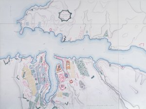
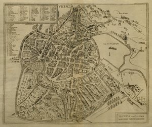
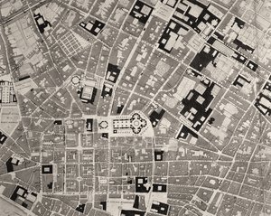
Map of France, Spain and North-West Africa, from the Map of the Kingdom of Great Britain and Ireland, 1610 Map of Charles V, map by Mecia de Viladestes, a portolan of Europe and North Africa, 1413 Map of Armenia, Colchis, Iberia and Albania, from Map of the Siege of York in 1781, from “Guerre de l’Amérique”, 1782 Map of Sevastopol, 1854 Fol. 16 Map of Persia, Arabia and India, from an atlas, 1571 Map of the County of Middlesex, published 1819 Map of Vicenza, illustration from “Civitates Orbis Terrarum”, c. 1580 Map of the travels of Alexander the Great (356-323 BC) from An Arab Trader on a Camel, detail from a Renaissance map of Europe, after Jacopo Russo, 1528 Map of the Austro-Hungarian Empire, illustration from a French geography school textbook, 1905 Map of the Battle of Lutzen, published by William Blackwood and Sons, Edinburgh and London, 1848 Map of Florence, detail, 1843 and 1866 engraving detail of 100310 Map of Granada, from
View More from "Cartography"

A selection of our top sellers

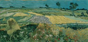
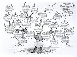
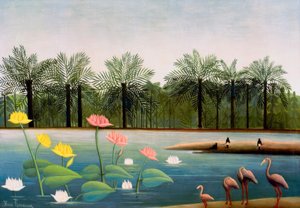
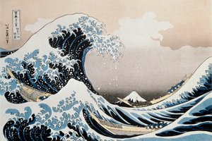
Vampire The Plain of Auvers, 1890 Genealogical tree of the Rougon-Macquart family Les Flamants The Great Wave off the Coast of Kanagawa, c. 1829-c. 1831 The Tower of Babel (Vienna) Kneeling Woman in an Orange-Red Dress Church in Unterach on Lake Attersee Mulberry Tree, 1889 Schlemmer, Oskar Death and Life, c. 1911 Circe, c. 1889 The Waterlily Pond, 1904 The Eruption of the Soufrière Mountains on the Island of St. Vincent, 30th April 1812, 1815 One of the Family
Show more artworks


What our customers think about us


Frequently Asked Questions about Meisterdrucke


Personalizing your art print at Meisterdrucke is simple and intuitive: Choose a frame, set the image size, pick a printing medium, and add suitable glazing or a stretcher frame. We also offer additional customization options like mats, fillets, and spacers. If you have any questions, our customer service team is ready to help you create your perfect artwork.

At Meisterdrucke, you can visualize your configured artwork directly in your own room. Simply upload a photo of your space and see how the artwork looks in it. If you're visiting us on a mobile device — phone or tablet — our augmented reality feature brings the picture to life and projects it right into your room. A unique experience that combines art and technology.

Choosing the right medium is often a matter of personal taste. To give you a better idea, we've provided some images for each medium. We also offer a sample set of all paper variants, so you can decide not just visually but by touch as well. You can order the sample set free of charge — only shipping costs apply.

Don't worry! At Meisterdrucke, we don't just process orders mechanically. Every order is manually reviewed by our team. If we spot any inconsistencies or issues with your configuration, we'll get in touch with you right away. And of course, our friendly and patient support team is always here to help you with your configuration. We'll work with you by phone or email to adjust your image so the final result is exactly what you had in mind.


Still have questions?

Are you interested in an art print from our manufactory but still unsure? Do you need advice on choosing the medium or help with the order?

Our experts are happy to assist you.

+43 4257 29415
support@meisterdrucke.com

Mo-Do: 7:00 - 16:00 | Fr: 7:00 - 13:00

Still have questions?

Are you interested in an art print from our manufactory but still unsure? Do you need advice on choosing the medium or help with the order?

Our experts are happy to assist you.

+43 4257 29415
support@meisterdrucke.com
Mo-Do: 7:00 - 16:00 | Fr: 7:00 - 13:00


Meisterdrucke

   Kärntner Strasse 46
        9586 Finkenstein am Faaker See
        Austria
        +43 4257 29415
        support@meisterdrucke.com
Other languages

                   
Erfahrungen & Bewertungen zu Meisterdrucke
Post.at DHL Express Quehenberger Cargoboard
Kaiser Franz Joseph

Meisterdrucke
Kärntner Strasse 46
9586 Finkenstein am Faaker See · Austria
+43 4257 29415 · support@meisterdrucke.com
Post.at DHL Express Quehenberger Cargoboard


(c) 2026 meisterdrucke.ie