support@meisterdrucke.com  ·  0043 4257 29415

Deutsch English Italiano Español Français Nederlands Português Svenska Polski Dansk
Search by artist, work title or style – e.g. Monet, Starry Night, Impressionism, Hokusai wave, nude. Describe the scene – e.g. green meadow, abstract with lots of red, dark oil painting, standing nude next to a tree.

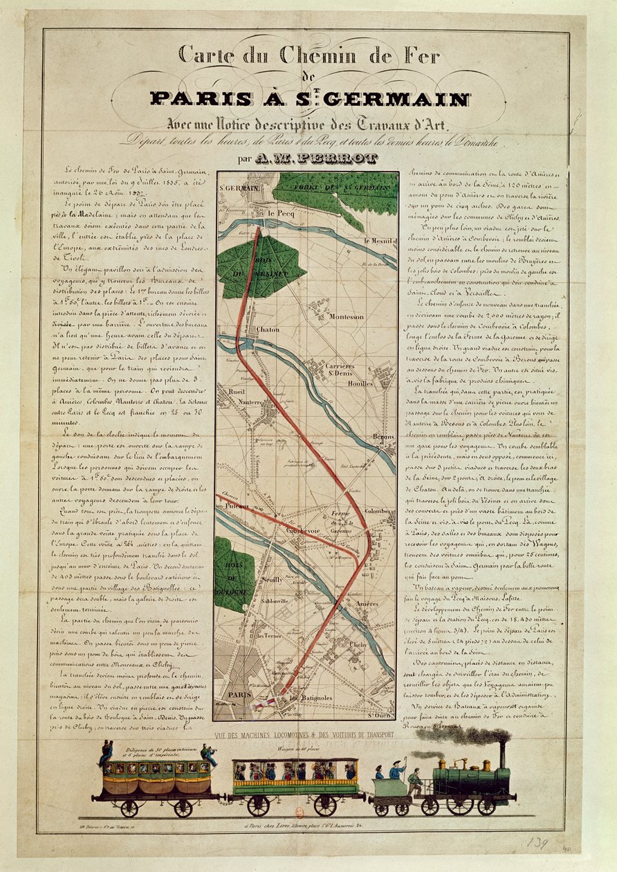
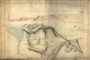
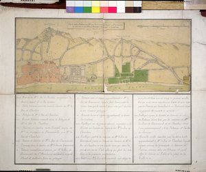
Map of the Paris to St. Germain Railway, by A. M. Perrot, 26th August 1837 by French School

Map of the Paris to St. Germain Railway, by A. M. Perrot, 26th August 1837

(Map of the Paris to St. Germain Railway, by A.M. Perrot, 26th August 1837 )


French School

€ 150.18
Includes 13.5% VAT
   Configure art print
1837  ·  colour lithograph  ·  Image ID: 57634

Cultural Circles  ·  Cartography

Map of the Paris to St. Germain Railway, by A. M. Perrot, 26th August 1837 by French School. Available as an art print on canvas, photo paper, watercolor board, natural paper, or Japanese paper.
plan · rail · train · locomotive · steam engine · Bibliotheque Nationale, Paris, France / Bridgeman Images
AR/3D   View in 3D / AR zu Favoriten hinzufügen   Add to favorites    Change wall color    View picture in a room
0 Reviews

Configure art print

Picture Frame

Medium & Stretcher

Glass & Passepartout

Miscellaneous & Extras

 Save / compare configuration
Preview Icon

Summary

Gemälde
Veredelung
Keilrahmen
Museumslizenz

€ 150.18
(inkl. 20% MwSt)
   Add to cart

Bildschärfe: PERFEKT

If you'd like us to adjust the brightness, colors, or crop the image, we're happy to do this for you at no extra cost. Just get in touch!

Similar artworks selected for you

Map representing the approximate tonnage of wines and spirits in circulation in France in 1857 by water and by railway, 1860 Essex County, Worcester County George Washington Plan of the Battles of Ligny, Quatre Bras & Waterloo fought on the 16 and 18 June 1815 by the Allied Armies commanded by the Duke of Wellington and Marshal Prince Blücher A plan of New York Island, with part of Long Island, Staten Island and East New Jersey, with a particular description of the engagement on the woody heights of Long Island between Flatbush and Brooklyn Survey of the Field of Agincourt The Battle of Waterloo, 1815-1816 Atlanta, Georgia and its Rebel Defenses Plan of the Position of the Army under the command of Lieut. Genl. Burgoyne near Still Water, in which it encamped on 20th September 1777 How the War Commenced, and How Near It Is Ended, 1864 Floyd County, Ga. Embraces 512 Square Miles of the Most Picturesque and Fertile Lands, Conceded to the State Cherokee Indians A Plan of New York Island, and Part of Long Island, with the Surrounding Country Map of Galicia with the route of the French army and a log, from the campaign in January, 1809 Map of the greater part of New Mexico, and a portion of Upper California Stephenson Chart of the Battle off Cherbourg Vicinity of Harpers Ferry Map of the Cutch region of India and its border with neighbouring Baluchistan, by Carl Zimmerman, 1851 Plan of Paris under the Merovingians - Engraving in Battle of Green Spring, Map of the Land on the Left Bank of the James River Opposite Jamestown in Virginia Where the Battle of July 6 Map of the Cape of Good Hope Nova Scotia, c.1760 Section of the Northern Course of the Canal from the Tide in the Elk River at Frenchtown to the Forked [Oak] in Mr. Rudulph Map of the New River from its Source near the Town of Ware to London Map showing the Chateau de Puteaux, 1722 Roy Map 19/3f: Area Around Colliston, in Forfarshire (or Angus), from the Roy Military Survey of Scotland Topographical Map of the Great Road from London to Bath and Bristol, with the Country Three Miles on Each Side Cold Harbor (June 1-3, 1864) Map of Hoogly River
Show more similar artworks

More art prints by French School

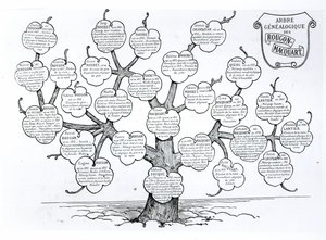
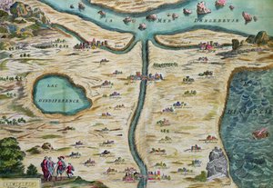
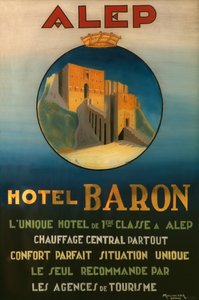
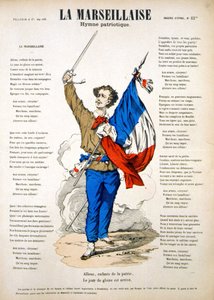
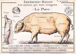
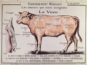
Manuscript 69 f. 48r, Birth of Jesus, from the Book of Hours of the "Master of Jacques de Besançon" Genealogical tree of the Rougon-Macquart family The Carte du Tendre, a map of an imaginary country, from volume II of Beef: diagram depicting the different cuts of meat The Shield of Achilles, after the description in Homer Poster advertising the Baron Hotel in Aleppo, c. 1920 Reproduction of Map of Routes of St. James of Compostela, originally engraved by D. Serveaux 1648 Poster advertising Pur Champagne, from Damery, Épernay Lyrics to «La Marseillaise». Image of Épinal "The Man with Six Heads", caricature of Charles Maurice de Talleyrand-Périgord (1754-1838), 1815 Equestrian statue of Charlemagne (742-814) Samuel Hahnemann (1755 - 1843), discovering homeopathy. Engraving after Pauquet Cuts of Pork, illustration from a French Domestic Science Manual by H. de Puytorac, published by Éditions Fernand Nathan, late 19th century Veal: diagram depicting the different cuts of meat Frédéric Chopin (1810-49) engraved from a daguerreotype
Show more works by French School

More motifs from the category Cartography

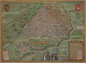
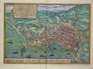
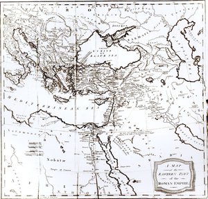
Map of London, from “Civitates Orbis Terrarum” by Georg Braun (1542-1622) and Frans Hogenburg (1635-90), c. 1572 Map of Lüneburg, from Map of animals in Europe Fol. 13 Map of South America and the Magellan Straits, from an atlas, 1571 Map of the County of Cornwall, 1579 Fan depicting the Map of France as Divided into 9 regions, 10 metropolis and 83 departments, 1790 Map of India to New Guinea, c. 1570-1603 Map of Florida, c. 1584 Map of Antwerp, from Map of Naples, from ‘Civitates Orbis Terrarum’ by Georg Braun (1541-1622) and Frans Hogenberg (1535-90), c.1572 Map of the Eastern Part of the Roman Empire, from Map of the New England coastline in 1614, engraved by Simon de Passe (1595-1647), 1616 Plan and map of the town and citadel of Mont-Louis, 1776 Map of Genoa and Florence, from Map of Berlin and Cölln, 1688
View More from "Cartography"

A selection of our top sellers

The Dragon among Clouds, 1849 Salvator Mundi, c. 1500 Cicero accuses Catiline of conspiracy in the Senate The Seasons: Summer, 1896 Panorama of Views of Kanazawa Under Full Moon, from the series Lilith School of Athens, from the Stanza della Segnatura, 1510-11 Two Men Contemplating the Moon The Tortoise Trainer Lavender Fields in Old Provence The Seasons: Spring, 1896 Flying Kites The Great Piece of Turf, 1503 The Death of Socrates Krumau - Crescent of Houses (The Small City V)
Show more artworks


What our customers think about us


Frequently Asked Questions about Meisterdrucke


Personalizing your art print at Meisterdrucke is simple and intuitive: Choose a frame, set the image size, pick a printing medium, and add suitable glazing or a stretcher frame. We also offer additional customization options like mats, fillets, and spacers. If you have any questions, our customer service team is ready to help you create your perfect artwork.

At Meisterdrucke, you can visualize your configured artwork directly in your own room. Simply upload a photo of your space and see how the artwork looks in it. If you're visiting us on a mobile device — phone or tablet — our augmented reality feature brings the picture to life and projects it right into your room. A unique experience that combines art and technology.

Choosing the right medium is often a matter of personal taste. To give you a better idea, we've provided some images for each medium. We also offer a sample set of all paper variants, so you can decide not just visually but by touch as well. You can order the sample set free of charge — only shipping costs apply.

Don't worry! At Meisterdrucke, we don't just process orders mechanically. Every order is manually reviewed by our team. If we spot any inconsistencies or issues with your configuration, we'll get in touch with you right away. And of course, our friendly and patient support team is always here to help you with your configuration. We'll work with you by phone or email to adjust your image so the final result is exactly what you had in mind.


Still have questions?

Are you interested in an art print from our manufactory but still unsure? Do you need advice on choosing the medium or help with the order?

Our experts are happy to assist you.

+43 4257 29415
support@meisterdrucke.com

Mo-Do: 7:00 - 16:00 | Fr: 7:00 - 13:00

Still have questions?

Are you interested in an art print from our manufactory but still unsure? Do you need advice on choosing the medium or help with the order?

Our experts are happy to assist you.

+43 4257 29415
support@meisterdrucke.com
Mo-Do: 7:00 - 16:00 | Fr: 7:00 - 13:00


Meisterdrucke

   Kärntner Strasse 46
        9586 Finkenstein am Faaker See
        Austria
        +43 4257 29415
        support@meisterdrucke.com
Other languages

                   
Erfahrungen & Bewertungen zu Meisterdrucke
Post.at DHL Express Quehenberger Cargoboard
Kaiser Franz Joseph

Meisterdrucke
Kärntner Strasse 46
9586 Finkenstein am Faaker See · Austria
+43 4257 29415 · support@meisterdrucke.com
Post.at DHL Express Quehenberger Cargoboard


(c) 2026 meisterdrucke.ie