support@meisterdrucke.com  ·  0043 4257 29415

Deutsch English Italiano Español Français Nederlands Português Svenska Polski Dansk
Search by artist, work title or style – e.g. Monet, Starry Night, Impressionism, Hokusai wave, nude. Describe the scene – e.g. green meadow, abstract with lots of red, dark oil painting, standing nude next to a tree.

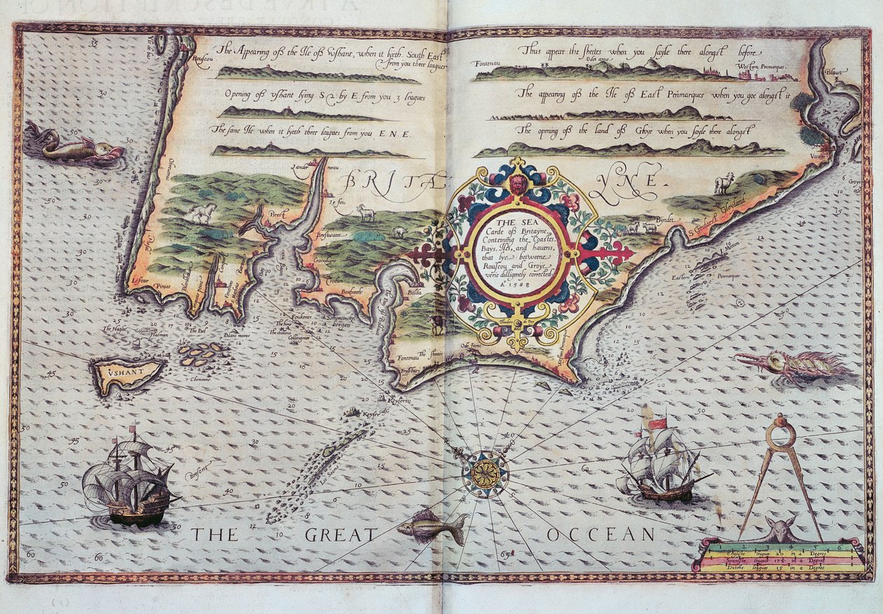
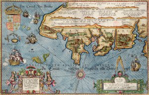
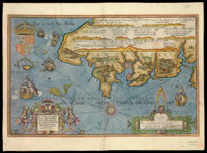
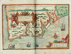
A Map of the coastline of Brittany, 1588 by European School

A Map of the coastline of Brittany, 1588


European School

€ 151.9
Includes 13.5% VAT
   Configure art print
1588  ·  Image ID: 82564

Cultural Circles  ·  Cartography

A Map of the coastline of Brittany, 1588 by European School. Available as an art print on canvas, photo paper, watercolor board, natural paper, or Japanese paper.
mapping · cartography · french · coast · breton · bretagne · northern france · atlantic ocean · great · chart · coastline · cartouche · Private Collection / Bridgeman Images
AR/3D   View in 3D / AR zu Favoriten hinzufügen   Add to favorites    Change wall color    View picture in a room
0 Reviews

Configure art print

Picture Frame

Medium & Stretcher

Glass & Passepartout

Miscellaneous & Extras

 Save / compare configuration
Preview Icon

Summary

Gemälde
Veredelung
Keilrahmen
Museumslizenz

€ 151.9
(inkl. 20% MwSt)
   Add to cart

Bildschärfe: PERFEKT

If you'd like us to adjust the brightness, colors, or crop the image, we're happy to do this for you at no extra cost. Just get in touch!

Similar artworks selected for you

A Description of the Sea Coasts, of the Land of Algarve, and a Part of the County with Their Show & Opening, c.1588 The Sea Coasts of England Between the Isle of Wight and Dover, with the Principal Havens Thereof According to Their Situation and Appearing The Sea Coasts Between Dover & Orfordness: Including the Most Famous River of Thames with All the Sands, Banks, Flats, & Shoals Thereabouts According to Their True Situation and Appearance Theatrum Orbis Terrarum Map of Livonia Coast of Prussia with all the havens and rivers from Memel to Heel Straits of Magellan (engraving) Description of the Sea Coasts of Eyder Ditmers and Part of Jeverland Map of Livonia Die custe va Lijfflandt met de eijlanden daer beneffens The south coast of England Oversize Atlas Titled Theatrum Orbis Terrarum Southeast, in Dutch Trade Map of the Baltic Sea Bristol Channel Chart of the English Channel Map of North-eastern Brazil Map of the Coast of Flanders, Normandy and England The Republic of Genoa, Map by Jan Baptist Vrients from Theatrum Orbis Terrarum by Abraham Ortelius Two full pages: map The Battle off the Isle of Wight on 4 August St Augustine Map of the coasts of Flanders, Normandy and England. Description of the sea coasts of Flanders and Picardy (...) (title on object) The English engage the Spanish fleet near Plymouth on 31 July Map of the north coast of England near Newcastle upon Tyne. Map of the north coast of England, beginning from Robin Hood Ischia, 1642 Chart of the Coast of England with the Sea Decorated with Ships and Monster East Friesland 1584 Map Cape Finisterre after the portulan of Luca J. Waghenaer tresoor de zeevaert, Leiden 1592
Show more similar artworks

More art prints by European School

Title page of The Tree of Science, or Arbre de la ciència or Arbor Scientiae or Arborxscientiae, by Ramon Llull c. 1295, 1505 Tea, 1899 Beer, 1899 Tapestry Depicting Pastoral Scene with Fruit Picking, or The Seigneur in His Park or Rural Alliance and Fruit-Picking, c.1500 Flag of the Imperial Habsburg Dynasty, c. 1700 Tomb of Godfrey de Bouillon in the Church of the Holy Sepulchre, Jerusalem, c. 1880 The Sacred Heart of Jesus, end of the nineteenth century Imaginary View of the Market Place of the Agora in Athens, Ancient Greece, from El Mundo Ilustrado, published in Barcelona, 1880 A native of Manado, Celebes The Wheel of Fortune, from “Rota uite que fortuna uocatur”, c. 1460 Artist Mandinka couple of West Africa Shing Shi or Ching Shih (died 1844). Chinese pirate woman of the 19th century. She commanded a real fleet with which she defeated Admiral Kwo Lang. Titus Livius, Ab Urbe Condita (the Drawing including a view of the Spinario from the back, late 15th century
Show more works by European School

More motifs from the category Cartography

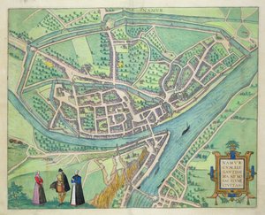
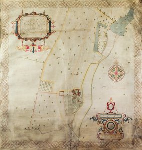
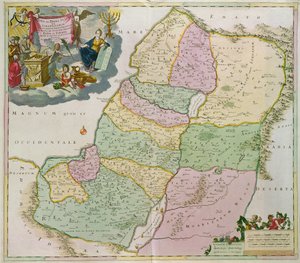
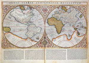
Fol. 57v Map of Canada and Florida, from Map of Namur, from ’Civitates Orbis Terrarum’ by Georg Braun (1541-1622) and Frans Hogenberg (1535-90), c. 1572-1617 Map of the Manor of Shifnal, Shropshire, 1635 World Map Map of the Holy Land New and most accurate map of all New Netherland, 1674 Double Hemisphere World Map, 1587 Map of Atlantis, from Map of London, showing the bear baiting garden in Southwark, c. 1561 Map of Yorktown, Virginia, October 1781 Map of North Africa, c. 1580s Ms. Ital. 550.0.3.15, fol. 4v-5r, Map of Africa and the Cape of Good Hope, from the This map of the City of New York and Island of Manhattan as laid out by the Commissioners appointed by the Legislature ..., 1853 Ms. 988 Vol. 3, fol. 61 Map of the United States, 1816
View More from "Cartography"

A selection of our top sellers

Sack of Rome (455) - The Course of Empire - Destruction - 1836 - New York Historical Society - (Rome, Roman Empire, Gaiseric, Genseric, Migration Period, Barbarian Invasions, Vandals, Fall of Western Roman Empire, Fall of Rome, Sack of Rome) Joan of Arc, 1879 A Bar Nocturnal Berlin (Nollendorfplatz) The Bathing Pool Flowering Garden in Spring The Red Tree The Fourth Estate Waterlilies, 1916-19 A Gotthelf reader Fish Magic Suprematist Composition: White on White, 1918 Reclining Semi-Nude (Masturbating), 1912-13 The Foxes The Gate of the Great Umayyad Mosque, Damascus, 1890
Show more artworks


What our customers think about us


Frequently Asked Questions about Meisterdrucke


Personalizing your art print at Meisterdrucke is simple and intuitive: Choose a frame, set the image size, pick a printing medium, and add suitable glazing or a stretcher frame. We also offer additional customization options like mats, fillets, and spacers. If you have any questions, our customer service team is ready to help you create your perfect artwork.

At Meisterdrucke, you can visualize your configured artwork directly in your own room. Simply upload a photo of your space and see how the artwork looks in it. If you're visiting us on a mobile device — phone or tablet — our augmented reality feature brings the picture to life and projects it right into your room. A unique experience that combines art and technology.

Choosing the right medium is often a matter of personal taste. To give you a better idea, we've provided some images for each medium. We also offer a sample set of all paper variants, so you can decide not just visually but by touch as well. You can order the sample set free of charge — only shipping costs apply.

Don't worry! At Meisterdrucke, we don't just process orders mechanically. Every order is manually reviewed by our team. If we spot any inconsistencies or issues with your configuration, we'll get in touch with you right away. And of course, our friendly and patient support team is always here to help you with your configuration. We'll work with you by phone or email to adjust your image so the final result is exactly what you had in mind.


Still have questions?

Are you interested in an art print from our manufactory but still unsure? Do you need advice on choosing the medium or help with the order?

Our experts are happy to assist you.

+43 4257 29415
support@meisterdrucke.com

Mo-Do: 7:00 - 16:00 | Fr: 7:00 - 13:00

Still have questions?

Are you interested in an art print from our manufactory but still unsure? Do you need advice on choosing the medium or help with the order?

Our experts are happy to assist you.

+43 4257 29415
support@meisterdrucke.com
Mo-Do: 7:00 - 16:00 | Fr: 7:00 - 13:00


Meisterdrucke

   Kärntner Strasse 46
        9586 Finkenstein am Faaker See
        Austria
        +43 4257 29415
        support@meisterdrucke.com
Other languages

                   
Erfahrungen & Bewertungen zu Meisterdrucke
Post.at DHL Express Quehenberger Cargoboard
Kaiser Franz Joseph

Meisterdrucke
Kärntner Strasse 46
9586 Finkenstein am Faaker See · Austria
+43 4257 29415 · support@meisterdrucke.com
Post.at DHL Express Quehenberger Cargoboard


(c) 2026 meisterdrucke.ie