support@meisterdrucke.com  ·  0043 4257 29415

Deutsch English Italiano Español Français Nederlands Português Svenska Polski Dansk
Search by artist, work title or style – e.g. Monet, Starry Night, Impressionism, Hokusai wave, nude. Describe the scene – e.g. green meadow, abstract with lots of red, dark oil painting, standing nude next to a tree.

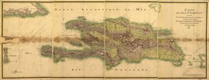
Map of the Island of Santo Domingo, from “Santo Domingo Past and Present” by Samuel Hazard, published 1873 by English School

Map of the Island of Santo Domingo, from “Santo Domingo Past and Present” by Samuel Hazard, published 1873

(Map of the Island of Santo Domingo, from 'Santo Domingo Past and Present' by Samuel Hazard, pub. 1873 (photolitho))


English School

€ 123.19
Includes 13.5% VAT
   Configure art print
1873  ·  Photolithograph  ·  Image ID: 64986

Cultural Circles  ·  Cartography

Map of the Island of Santo Domingo, from “Santo Domingo Past and Present” by Samuel Hazard, published 1873 by English School. Available as an art print on canvas, photo paper, watercolor board, natural paper, or Japanese paper.
hispaniola · caribbean · Private Collection / Bridgeman Images
AR/3D   View in 3D / AR zu Favoriten hinzufügen   Add to favorites    Change wall color    View picture in a room
0 Reviews

Configure art print

Picture Frame

Medium & Stretcher

Glass & Passepartout

Miscellaneous & Extras

 Save / compare configuration
Preview Icon

Summary

Gemälde
Veredelung
Keilrahmen
Museumslizenz

€ 123.19
(inkl. 20% MwSt)
   Add to cart

Bildschärfe: PERFEKT

If you'd like us to adjust the brightness, colors, or crop the image, we're happy to do this for you at no extra cost. Just get in touch!

Similar artworks selected for you

The New Kingdoms of Grenada, New Andalucia and Guyana (from Turkey in Asia 1507 Ptolemaic Map of France The Island of Jamaica, from Map of the Peloponnesus The Course of the River Amazon Map of Ancient Boeotia Map of Western India, 1816 Map of Spain showing Caliphate of Cordoba The Island of Martinique, from A Part of Bratsberg and Nedenæs Counties Map of Cutch and Kathiawar, published under the direction of Colonel G.C. de Pree, S.C., Surveyor General of India, 1885 The French and Spanish Colony of the Island of St Dominic of the Greater Antilles, from Historical Atlas of Mesopotamia. Babylonia, Syria and Assyria. End of 18th century Porto Rico and Virgin Isles: Haiti, Hispaniola or St. Domingo, 1817 Map of Locations Cited in the First Book of Entwurf einer historischen Architektur Ireland Coast Guard Map of Jemtland (1831) Northern India, from A map of Canada and the north part of Louisiana with the adjacent countries Map of the Island of St. Domingue Map of the Byzantine Empire in the Ninth Century, 1890 Map of the Borders of European Russia with Turkey, from the Mouths of the Danube to the Caucasus Map of the Caribbean Map Illustrating the Campaign Preceding the Treaty of Campo-Formio, 1797, 1896 The Ottoman Empire, from Europe, Describing All the Changes of Territory, Published 1816 A Trader 1513 Map Centered on Transylvania by Paolo Forlani The Design of the Discovery of New France
Show more similar artworks

More art prints by English School

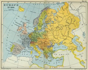
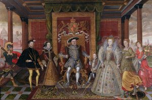
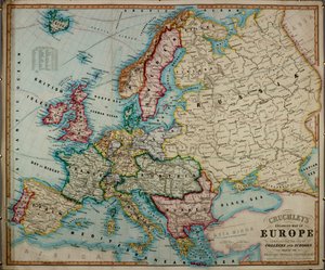
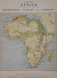
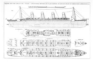
Church and Cottage with Lighted Windows Portrait of a bodybuilder, c. 1898 The Portrait of King Richard III Kidbrooke Park, Kent, formerly attributed to George Lambert (1700-65) c.1740-50 Map of Europe in 1910 Portrait of the Greek philosopher Socrates (469-399 BC) - From the series “Leaders of Men” - Chromolithography - English School, 20th century Romeo buys poison from the apothecary, illustration from Romeo and Juliet, from "The Illustrated Library Shakespeare", published in London 1890 Detailed Map of Gallipoli Peninsula and the Dardanelles, Turkey, 1915, from Map of the world with possessions of the British Empire coloured red, c. 1870 Poster advertising ‘A Midsummer Night An Allegory of the Tudor Succession: The Family of Henry VIII, c. 1589-95 A 19th century coloured map of Europe, compiled for use in colleges and schools. A Map of Africa to Illustrate the Travels of David Livingstone (1813-73), Henry Morton Stanley (1841-1904) and Verney Lovett Cameron (1844-94) Inquiry into the Loss of the Titanic: Cross sections of the ship
Show more works by English School

More motifs from the category Cartography

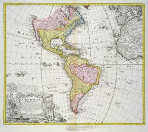
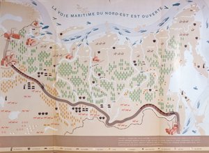
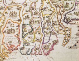
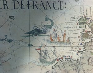
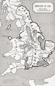
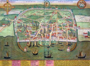
Fol. 30v Map of the Sea of Maluku, from the Map of the Americas, published by Homann, 1746 Map of Siberia showing the immense natural resources of the area and depicting a sea route which would open up trade, 1933 Map of Modern London and its Environs, 1845 Map of the Coast of Africa and the River Gambia, 1622 Facsimile of Whaling and Isle of Saint Brandon, detail from a portolan map by Pierre Desceliers, 1546, published in Monuments de la Geographie by Edme Francois Jomard Map of the Christian Constellations as depicted by Julius Schiller, from “The Celestial Atlas, or The Harmony of the Universe” (Atlas coelestis seu harmonia macrocosmica), published by Joannes Janssonius, A Map of Venice, by Sebastian Münster (1488-1552), published in Basel, c. 1560 Map of Britain in 626, from The Northumbrian Kingdom 588 to 685 in Map of Britain in 658, Produced by Stanford Map of India and Ceylon, from the Map of Fisk-Kill and the position of the French army in 1782, from “Guerre de l Map showing Egypt to Ethiopia, from the Ptolemy manuscript, c.1470, illustration from F.52v Map of Florida and the Antilles, from Map of Visby, from ‘Civitates Orbis Terrarum’ by Georg Braun (1541-1622) and Frans Hogenberg (1535-90), c.1572-1617
View More from "Cartography"

A selection of our top sellers

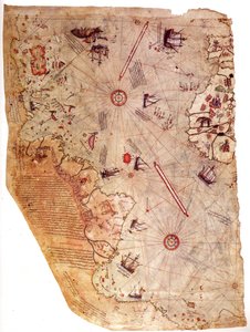
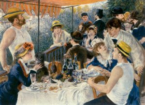
The Piri Reis World Map, 1513 Hylas and the Nymphs Isle of the Dead View of Houses in Delft, Known as The Little Street Lake Thun with Symmetrical Reflection The Resurrection of Christ, from the right wing of the Isenheim Altarpiece, c.1512-16, detail of 17677 The Kiss, 1907-08, detail of 601 Seaport with the Embarkation of the Queen of Sheba Luncheon of the Boating Party Seated Woman with Raised Knee Olive Trees with Yellow Sky and Sun One of the Family The Battle of Trafalgar, 1805 Portrait of a young woman, drawing Reclining Female Nude
Show more artworks


What our customers think about us


Frequently Asked Questions about Meisterdrucke


Personalizing your art print at Meisterdrucke is simple and intuitive: Choose a frame, set the image size, pick a printing medium, and add suitable glazing or a stretcher frame. We also offer additional customization options like mats, fillets, and spacers. If you have any questions, our customer service team is ready to help you create your perfect artwork.

At Meisterdrucke, you can visualize your configured artwork directly in your own room. Simply upload a photo of your space and see how the artwork looks in it. If you're visiting us on a mobile device — phone or tablet — our augmented reality feature brings the picture to life and projects it right into your room. A unique experience that combines art and technology.

Choosing the right medium is often a matter of personal taste. To give you a better idea, we've provided some images for each medium. We also offer a sample set of all paper variants, so you can decide not just visually but by touch as well. You can order the sample set free of charge — only shipping costs apply.

Don't worry! At Meisterdrucke, we don't just process orders mechanically. Every order is manually reviewed by our team. If we spot any inconsistencies or issues with your configuration, we'll get in touch with you right away. And of course, our friendly and patient support team is always here to help you with your configuration. We'll work with you by phone or email to adjust your image so the final result is exactly what you had in mind.


Still have questions?

Are you interested in an art print from our manufactory but still unsure? Do you need advice on choosing the medium or help with the order?

Our experts are happy to assist you.

+43 4257 29415
support@meisterdrucke.com

Mo-Do: 7:00 - 16:00 | Fr: 7:00 - 13:00

Still have questions?

Are you interested in an art print from our manufactory but still unsure? Do you need advice on choosing the medium or help with the order?

Our experts are happy to assist you.

+43 4257 29415
support@meisterdrucke.com
Mo-Do: 7:00 - 16:00 | Fr: 7:00 - 13:00


Meisterdrucke

   Kärntner Strasse 46
        9586 Finkenstein am Faaker See
        Austria
        +43 4257 29415
        support@meisterdrucke.com
Other languages

                   
Erfahrungen & Bewertungen zu Meisterdrucke
Post.at DHL Express Quehenberger Cargoboard
Kaiser Franz Joseph

Meisterdrucke
Kärntner Strasse 46
9586 Finkenstein am Faaker See · Austria
+43 4257 29415 · support@meisterdrucke.com
Post.at DHL Express Quehenberger Cargoboard


(c) 2026 meisterdrucke.ie