-
 ×
- Home
- Art Prints ▸
- Artists ▸
- Categories ▸
- Art Styles ▸
- Picture Frame ▸
- All decorative frames
- Baroque decorative frames
- Simple decorative frames
- Rustic decorative frames
- Floating frames
- Golden decorative frames
- Silver decorative frames
- White decorative frames
- Black decorative frames
- Wood-look decorative frames
- Shabby chic decorative frames
- Thin decorative frames
- Thick decorative frames
- Print Media ▸
- All print media
- Canvas Leonardo (satin)
- Canvas Salvador (matte)
- Canvas Raphael (matte)
- FineArt Photo Matte
- FineArt Photo Satin
- FineArt Photo Baryte
- FineArt Photo Glossy
- Watercolor Paper Munch
- Watercolor Paper Renoir
- Watercolor Paper Turner
- Watercolor Paper Dürer
- Natural Line Hemp
- Natural Line Rice
- Kozo White, 110g
- Kozo Natural, 110g
- Inbe White, 125g
- Unryu, 55g
- Bamboo, 110g
- Premio Unryu, 165g
- Murakumo Natural, 42g
- Bizan Natural, 300g
- Bizan White, 300g
- Aluminum composite 3mm
- Acrylic glass 5mm
- Order Sample Set
- Which print medium is right for you?
Canvas
Photo Paper
Watercolor Board
Natural Line
Japanese Paper
Special Media
More information
- Help & Service ▸
- Contact us
- Sell your art
- Frequently Asked Questions
- Job Openings
- Complaint
- Order Samples
- Order Vouchers
- Shipping costs
- Production time
- Sustainability
- Image research
- Special requests
- Who are we?
- Pricing policy
- Company policy
- Quality promise
- Awards
- Stretcher frame
- Mats
- Decorative frames
- Glazing
- Fillets
- Mounting systems
- Print media
- Care tips
- Legal Notice
- Terms & Conditions
- Privacy Policy
- Right of Cancellation
Info & Service
More information
Good to know
Legal information
- Shop ▸
- Contact





 View in 3D / AR
 Add to favorites
 Change wall color
 View picture in a room
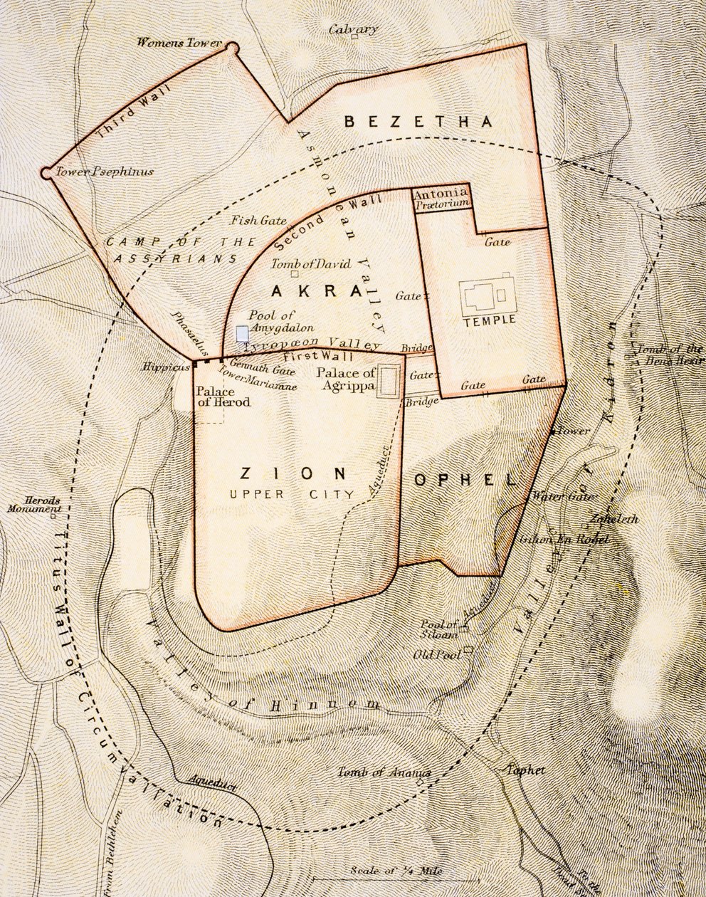
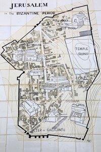
.jpg "City Map of Jerusalem in the 1890s, from")
 - (MeisterDrucke-85508).jpg "Map of Phillipsburg, from")
.jpg "A Survey of English Harbour in the Island of Antigua made by Order of Commissioner Laforey in 1783")
 - (MeisterDrucke-160554).jpg "Plan of the Parc Monceau")
.jpg "Map of the area of Bourges")
.jpg "Plan of Delhi 1857-58, Engraved by Guyot and Wood")
.jpg "Ms.255171 Estate map of Belchamp St. Paul, 1576 (detail)")
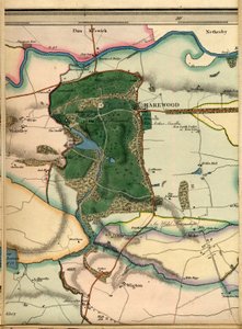
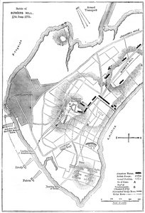
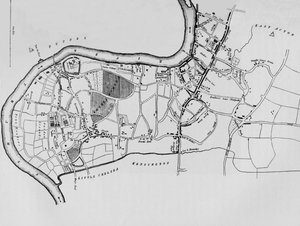
.jpg "Church and Cottage with Lighted Windows")
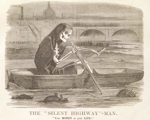
.jpg "Portrait of King Richard III")
 c1740-50 - (MeisterDrucke-77045).jpg "Kidbrooke Park, Kent, formerly attributed to George Lambert (1700-65) c.1740-50")
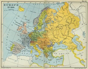
.jpg "Detailed Map of Gallipoli Peninsula and the Dardanelles, Turkey, 1915, from")
.jpg "Map of the world with possessions of the British Empire coloured red, c. 1870")
 an illustrated itinerarium of the road network in the Roman EmpireDetail of Italy from the Peutinger map copy - (MeisterDrucke-110655).jpg "Part of the Tabula Peutingeriana (Peutinger Table, Peutinger Map), an illustrated itinerarium of the road network in the Roman Empire. Detail of Italy from the Peutinger Map copy")
.jpg "Plan and Map of Saint-Jean-Pied-de-Port, from the Atlas Louis XIV, 1683-88")
.jpg "Map of Egypt, 1348")
 - (MeisterDrucke-225587).jpg "Map of Africa, published in 1700, Paris")
.jpg "Map of WRATISLAVA Bresslaw, from")
.jpg "Map of the South of Russia and Azerbaijan")
.jpg "A New Map of the English Plantations in America")
.jpg "Map of the Suez Canal, c. 1870")
.jpg "Map of the island of Puerto Rico, 1599")
.jpg "Map of Florida")
.jpg "Map of Padua, from \"Les Villes de Venétie\", 1704, published by Pierre Mortier in Amsterdam")
.jpg "Map showing the localities of the Indian tribes of the US in 1833, illustration from")
 (detail of 438496) - (MeisterDrucke-38235).jpg "A Map of Tyburn, 1746 (detail)")
.jpg "A Section of a Map of Milan")

.jpg "Garden in Bloom, Arles, July 1888")
.jpg "Female Lute Player")
 - (MeisterDrucke-22060).jpg "Pink Peach Trees (Souvenir de Mauve)")
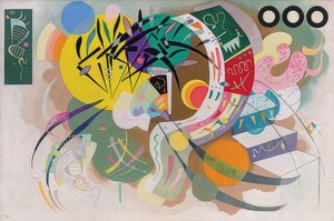
.jpg "The Red Tree")
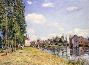

.jpg "Poppy field")
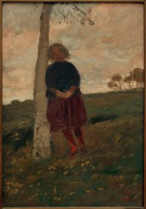
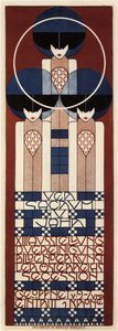
.jpg "Christ Asleep in His Boat")

 +43 4257 29415
 support@meisterdrucke.com
 Mo-Do: 7:00 - 16:00 | Fr: 7:00 - 13:00






