support@meisterdrucke.com  ·  0043 4257 29415

Deutsch English Italiano Español Français Nederlands Português Svenska Polski Dansk
Search by artist, work title or style – e.g. Monet, Starry Night, Impressionism, Hokusai wave, nude. Describe the scene – e.g. green meadow, abstract with lots of red, dark oil painting, standing nude next to a tree.

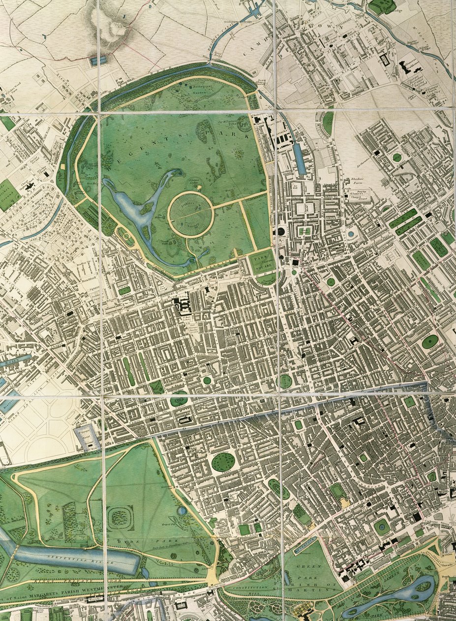
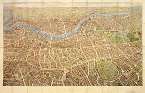
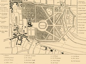
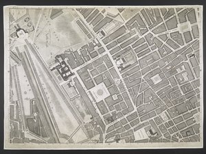
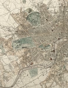
Map of Regent Street, c.1830 by English School

Map of Regent Street, c.1830

(Map of Regent Street, c.1830 (see also 70176))


English School

€ 145.9
Includes 13.5% VAT
   Configure art print
1830  ·  coloured engraving  ·  Image ID: 414664

Cultural Circles  ·  Cartography

Map of Regent Street, c.1830 by English School. Available as an art print on canvas, photo paper, watercolor board, natural paper, or Japanese paper.
regents park · hyde · jamess · streets · plan · London Metropolitan Archives, City of London / Bridgeman Images
AR/3D   View in 3D / AR zu Favoriten hinzufügen   Add to favorites    Change wall color    View picture in a room
0 Reviews

Configure art print

Picture Frame

Medium & Stretcher

Glass & Passepartout

Miscellaneous & Extras

 Save / compare configuration
Preview Icon

Summary

Gemälde
Veredelung
Keilrahmen
Museumslizenz

€ 145.9
(inkl. 20% MwSt)
   Add to cart

Bildschärfe: PERFEKT

If you'd like us to adjust the brightness, colors, or crop the image, we're happy to do this for you at no extra cost. Just get in touch!

Similar artworks selected for you

Tallis West London in 1832 Sanitary Map of the Town of Leeds, by Stephen Sly for Her Majesty Map of Paris showing Île de la Cité, from L’Atlas de Paris by Jean de la Caille, 1714 Map of Florence Overview Map of Berlin in 44 Sheets Hollar Unknown Image New plan of Rome, published by Giambattista Nolli in the year MDCCXLVII, known as La Pianta Grande di Roma Map of Villa Mansi and its gardens in Capannori, Italy Map of Moscow Kensington in 1764 General regulation plan: map sheet section of the eastern part of the Inner City and the Ringstraße, City Park and Central Market Hall Plan of London, Piccadilly, St. James Mogg Map of Petersburg Book to the 50th Anniversary of the Founding of St. Petersburg, 1753 General plan of the parks of the two Trianon Palaces, Versailles Plan of Paris, c1630 1915 Topographical Map and Survey of the Village of Issy, 1740 Plan of the Cities of London and Westminster and Borough of Southwark, Engraved by John Tinney, Published 1746 Map of Berlin showing buildings of interest, 1773 Nuova pianta di Roma by Giambattista Nolli, 1748, known as La Pianta Grande di Roma Engraving. Plan of the Capital City of Saint Petersburg with Depictions of the Most Notable Prospects. 1753 by M. I. Makhaev Berghaus Plan Map from the National Library Plan of Berlin Taken and Drawn with Permission of the Royal Academy of Sciences by J.C. Selter Barrackpore Park and Cantonment Overview Map of the Development Plan of the Surroundings of Berlin Map of the Isle of Dogs, c.1830
Show more similar artworks

More art prints by English School

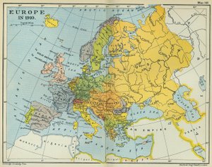
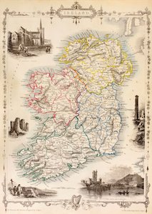
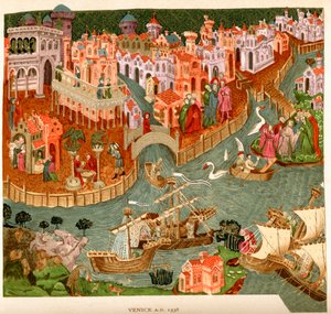
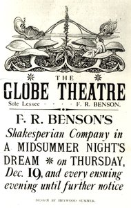
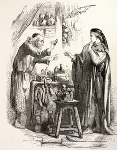
Church and Cottage with Lighted Windows Portrait of a bodybuilder, c. 1898 The Portrait of King Richard III Kidbrooke Park, Kent, formerly attributed to George Lambert (1700-65) c.1740-50 Map of Europe in 1910 Portrait of the Greek philosopher Socrates (469-399 BC) - From the series “Leaders of Men” - Chromolithography - English School, 20th century Map of Ireland from ’The History of Ireland’ by Thomas Wright, published c.1854 Venice, 1338, after a manuscript in the Bodleian Library, from Poster advertising ‘A Midsummer Night Map of the world with possessions of the British Empire coloured red, c. 1870 Portrait of King James II, c. 1690 Detailed Map of Gallipoli Peninsula and the Dardanelles, Turkey, 1915, from Romeo buys poison from the apothecary, illustration from Romeo and Juliet, from "The Illustrated Library Shakespeare", published in London 1890 Winston Churchill on horseback in Bangalore, India in 1897, from ’A Roving Commission by Winston S. Churchill’, published by Scribner’s, 1930
Show more works by English School

More motifs from the category Cartography

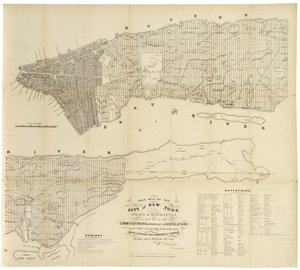
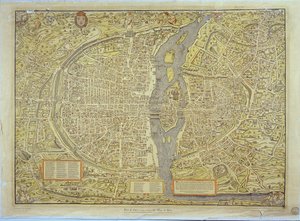
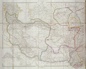
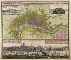
Map of the Battle of Trafalgar, published by William Blackwood and Sons, Edinburgh and London, 1848 Map of Lord Kitchener This map of the City of New York and Island of Manhattan as laid out by the Commissioners appointed by the Legislature ..., 1853 Reproduction of the Basel Map of Paris, originally produced in 1552-59 Map of Ancient Egypt, 1584 Map of Central Asia, 1834 Map of Cambridgeshire, published Amsterdam c.1647-48 Map of Africa, engraved by Thomas Stirling Reproduction of Map of Routes of St. James of Compostela, originally engraved by D. Serveaux 1648 Map and Prospect of London, c. 1710 Map of the United States, 1816 Map of Amsterdam, from West Coast of Africa, from Lisbon to Sierra Leone, from ’Atlas de Toutes les Parties Connues du Globe Terrestre’ by Guillaume Raynal (1713-96), published in Geneva, 1780 Map of Britain and Ireland
View More from "Cartography"

A selection of our top sellers

Isle of the Dead Cypresses, 1889 Construction, 1923 Genealogical tree of the Rougon-Macquart family Joan of Arc, 1865 Roaring Stag in the Mountains Mont Sainte-Victoire The Sun Bathers, 1927 The Temptation of St. Anthony, right-hand panel, detail of a couple riding a fish The Great Wave off Kanagawa, c.1830 Poppies at Argenteuil The Artist P. Modersohn-Becker, Girl White-Bear-King-Valemon, 1912 Female Lute Player
Show more artworks


What our customers think about us


Frequently Asked Questions about Meisterdrucke


Personalizing your art print at Meisterdrucke is simple and intuitive: Choose a frame, set the image size, pick a printing medium, and add suitable glazing or a stretcher frame. We also offer additional customization options like mats, fillets, and spacers. If you have any questions, our customer service team is ready to help you create your perfect artwork.

At Meisterdrucke, you can visualize your configured artwork directly in your own room. Simply upload a photo of your space and see how the artwork looks in it. If you're visiting us on a mobile device — phone or tablet — our augmented reality feature brings the picture to life and projects it right into your room. A unique experience that combines art and technology.

Choosing the right medium is often a matter of personal taste. To give you a better idea, we've provided some images for each medium. We also offer a sample set of all paper variants, so you can decide not just visually but by touch as well. You can order the sample set free of charge — only shipping costs apply.

Don't worry! At Meisterdrucke, we don't just process orders mechanically. Every order is manually reviewed by our team. If we spot any inconsistencies or issues with your configuration, we'll get in touch with you right away. And of course, our friendly and patient support team is always here to help you with your configuration. We'll work with you by phone or email to adjust your image so the final result is exactly what you had in mind.


Still have questions?

Are you interested in an art print from our manufactory but still unsure? Do you need advice on choosing the medium or help with the order?

Our experts are happy to assist you.

+43 4257 29415
support@meisterdrucke.com

Mo-Do: 7:00 - 16:00 | Fr: 7:00 - 13:00

Still have questions?

Are you interested in an art print from our manufactory but still unsure? Do you need advice on choosing the medium or help with the order?

Our experts are happy to assist you.

+43 4257 29415
support@meisterdrucke.com
Mo-Do: 7:00 - 16:00 | Fr: 7:00 - 13:00


Meisterdrucke

   Kärntner Strasse 46
        9586 Finkenstein am Faaker See
        Austria
        +43 4257 29415
        support@meisterdrucke.com
Other languages

                   
Erfahrungen & Bewertungen zu Meisterdrucke
Post.at DHL Express Quehenberger Cargoboard
Kaiser Franz Joseph

Meisterdrucke
Kärntner Strasse 46
9586 Finkenstein am Faaker See · Austria
+43 4257 29415 · support@meisterdrucke.com
Post.at DHL Express Quehenberger Cargoboard


(c) 2026 meisterdrucke.ie