support@meisterdrucke.com  ·  0043 4257 29415

Deutsch English Italiano Español Français Nederlands Português Svenska Polski Dansk
Search by artist, work title or style – e.g. Monet, Starry Night, Impressionism, Hokusai wave, nude. Describe the scene – e.g. green meadow, abstract with lots of red, dark oil painting, standing nude next to a tree.

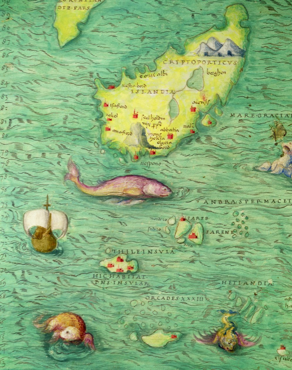
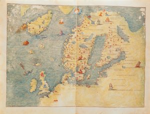
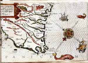
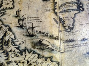
Iceland, from an Atlas of the World in 33 maps, Venice, 1st September 1553 (detail from 330951) by Battista Agnese

Iceland, from an Atlas of the World in 33 maps, Venice, 1st September 1553 (detail from 330951)

(Iceland, from an Atlas of the World in 33 maps, Venice, 1st September 1553 (ink on vellum) (detail from 330951))


Battista Agnese

€ 139.82
Includes 13.5% VAT
   Configure art print
1553  ·  ink on vellum  ·  Image ID: 47527

Nonclassified artists  ·  Cartography

Iceland, from an Atlas of the World in 33 maps, Venice, 1st September 1553 (detail from 330951) by Battista Agnese. Available as an art print on canvas, photo paper, watercolor board, natural paper, or Japanese paper.
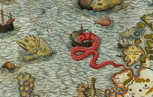
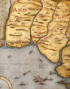
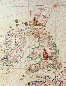
cartography · mapping · boat · ship · fish · sea monster · chart · seal · islands · Museo Correr, Venice, Italy / Bridgeman Images
Other color versions of this image  
AR/3D   View in 3D / AR zu Favoriten hinzufügen   Add to favorites    Change wall color    View picture in a room
0 Reviews

Configure art print

Picture Frame

Medium & Stretcher

Glass & Passepartout

Miscellaneous & Extras

 Save / compare configuration
Preview Icon

Summary

Gemälde
Veredelung
Keilrahmen
Museumslizenz

€ 139.82
(inkl. 20% MwSt)
   Add to cart

Bildschärfe: PERFEKT

If you'd like us to adjust the brightness, colors, or crop the image, we're happy to do this for you at no extra cost. Just get in touch!

Similar artworks selected for you

Fol. 30v Map of the Sea of Maluku, from the Northern Europe, from Atlas of the World in thirty-three Maps Northern Europe, from an Atlas of the World in 33 Maps, Venice, 1st September 1553 Map of the Caribbean Sea by Christophe Plantin Chesapeake Bay, Florida, c.1585-1603 Island of Cuba, Florida and Gulf of Mexico, engraving from Map of Scandinavia 1550 Map of Asia by Sebastian Münster Map of Eastern North America: Florida to Chesapeake Bay Fol. 39v Map of the Magellan Straits, from “Cosmographie Universelle”, 1555 Map of Northern Europe Fol. 31v Map of Australia and Magellan Island from “Cosmographie Universelle”, 1555 The Americas, Detail from World Atlas 1561 Map of the Americas by Sebastian Münster Ms. 1288, fol. 1: The Polar Aurora, Detail of England, Ireland and Norway, from a Collection of Dutch Marine Maps, Engraving The New Islands, Behind Spain Towards the Orient by the Land of India Scandinavia, detail from the Carta Marina by Olaus Magnus, 1572 Map of Island of Hispaniola, Santo Domingo, Puerto Rico and Part of Antilles from Abraham Ortelius Map of America Created by Joan Blaeu Cape Finisterre after the portulan of Luca J. Waghenaer tresoor de zeevaert, Leiden 1592 A Shipwreck off a Barbarian Coast, from Americae Tertia Pars The Arrival of the English in Virginia, from The Indian Ocean and Part of Asia and Africa: Malaysia and Islands of Java and Sumatra, from Atlas of the World in Thirty-Three Maps, by Battista Agnese Whaling: the whale is brought ashore to extract oil. From Coronelli Detail of A Map of the Sea (Carta marina) by Olaus Magnus (1490-1557) Fol. 10v Map of Scandinavia and Northern Russia, from Mount Sinai and the Red Sea, from an Atlas of the World in 33 Maps, Venice, 1st September 1553 (detail from 330963) Harbor of Palos, by Abraham Ortelius (1528-1598), Plate
Show more similar artworks

More art prints by Battista Agnese

Zodiac Calendar, from an Atlas of the World in 33 Maps, Venice, 1st September 1553 The Indian Ocean, from an Atlas of the World in 33 Maps, Venice, 1st September 1553 The Continent of Europe, from an Atlas of the World in 33 Maps, Venice, 1st September 1553 Map tracing Magellan The New World, from an Atlas of the World in 33 Maps, Venice, 1st September 1553 The Kingdoms of England and Scotland, from an Atlas of the World in 33 Maps, Venice, 1st September 1553 (detail from 330949) The Holy Land, from an Atlas of the World in 33 Maps, Venice, 1st September 1553 India and Malaysia, from an Atlas of the World in 33 Maps, Venice, 1st September 1553 (detail from 330955) Europe and Central Asia, from an Atlas of the World in 33 Maps, Venice, 1st September 1553 Central America, from an Atlas of the World in 33 Maps, Venice, 1st September 1553 (detail from 330960) Detail from Europe and Central Asia, from an Atlas of the World in 33 Maps, Venice, 1st September 1553 The Pacific Ocean, from an Atlas of the World in 33 Maps, Venice, 1st September 1553 The Continent of Africa, from an Atlas of the World in 33 Maps, Venice, 1st September 1553 Ethiopia, the Red Sea and Saudi Arabia, from an Atlas of the World in 33 Maps, Venice, 1st September 1553, detail from 330946 A double-page map of the Atlantic Ocean, showing the east coast of North and South America, 1544
Show more works by Battista Agnese

More motifs from the category Cartography

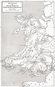
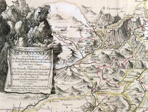
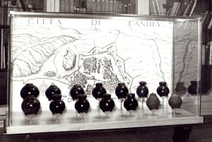
West Coast of Africa, from Lisbon to Sierra Leone, from ’Atlas de Toutes les Parties Connues du Globe Terrestre’ by Guillaume Raynal (1713-96), published in Geneva, 1780 Map illustrating the Welsh wars of William Rufus and Henry I, from ’A Short History of the English People’ by J. R. Green, published 1893 Cartouche from a map of the Cevennes region, 1703 The globe Map of Surrey, described and divided into hundreds Cartouche of Quebec from “Carte de l Inc. 425 Map of the Holy Land, based on descriptions and co-ordinates given in Cosmographica, by Ptolemy (Claudius Ptolemaeus of Alexandria) (c. 90-168 AD), published in Ulm, Germany, by Johann Reger fo The Continent of Africa, from an Atlas of the World in 33 Maps, Venice, 1st September 1553 Map of Crompond, from ’Guerre de l’Amerique’, 1782 Map of the Battle of Friedland, published by William Blackwood and Sons, Edinburgh and London, 1848 Map of Persia Venetian Bombs and a Map of the City of Crete Map of the Russian Empire, in Europe and Asia, from Atlas 131 H f.1, Map of Bas-Poitou, Pays d Fol. 44v Map of Brazil, from
View More from "Cartography"

A selection of our top sellers

Isle of the Dead. 1883 (Third version of five) Christ in the Wilderness Impression, Sunrise, 1872 Blue, 1922 A Vase of Roses, 1890 Female Lute Player The Resurrection of Christ, from the right wing of the Isenheim Altarpiece, c.1512-16, detail of 17677 Avenue in the Park of Kammer Castle, 1912 The Eruption of the Soufrière Mountains on the Island of St. Vincent, 30th April 1812, 1815 Composition Z VIII The Forest of Pines Marine Solitude, 1852 The Butterfly Hunter Beethoven Frieze The Bright House (1st Version)
Show more artworks


What our customers think about us


Frequently Asked Questions about Meisterdrucke


Personalizing your art print at Meisterdrucke is simple and intuitive: Choose a frame, set the image size, pick a printing medium, and add suitable glazing or a stretcher frame. We also offer additional customization options like mats, fillets, and spacers. If you have any questions, our customer service team is ready to help you create your perfect artwork.

At Meisterdrucke, you can visualize your configured artwork directly in your own room. Simply upload a photo of your space and see how the artwork looks in it. If you're visiting us on a mobile device — phone or tablet — our augmented reality feature brings the picture to life and projects it right into your room. A unique experience that combines art and technology.

Choosing the right medium is often a matter of personal taste. To give you a better idea, we've provided some images for each medium. We also offer a sample set of all paper variants, so you can decide not just visually but by touch as well. You can order the sample set free of charge — only shipping costs apply.

Don't worry! At Meisterdrucke, we don't just process orders mechanically. Every order is manually reviewed by our team. If we spot any inconsistencies or issues with your configuration, we'll get in touch with you right away. And of course, our friendly and patient support team is always here to help you with your configuration. We'll work with you by phone or email to adjust your image so the final result is exactly what you had in mind.


Still have questions?

Are you interested in an art print from our manufactory but still unsure? Do you need advice on choosing the medium or help with the order?

Our experts are happy to assist you.

+43 4257 29415
support@meisterdrucke.com

Mo-Do: 7:00 - 16:00 | Fr: 7:00 - 13:00

Still have questions?

Are you interested in an art print from our manufactory but still unsure? Do you need advice on choosing the medium or help with the order?

Our experts are happy to assist you.

+43 4257 29415
support@meisterdrucke.com
Mo-Do: 7:00 - 16:00 | Fr: 7:00 - 13:00


Meisterdrucke

   Kärntner Strasse 46
        9586 Finkenstein am Faaker See
        Austria
        +43 4257 29415
        support@meisterdrucke.com
Other languages

                   
Erfahrungen & Bewertungen zu Meisterdrucke
Post.at DHL Express Quehenberger Cargoboard
Kaiser Franz Joseph

Meisterdrucke
Kärntner Strasse 46
9586 Finkenstein am Faaker See · Austria
+43 4257 29415 · support@meisterdrucke.com
Post.at DHL Express Quehenberger Cargoboard


(c) 2026 meisterdrucke.ie