support@meisterdrucke.com  ·  0043 4257 29415

Deutsch English Italiano Español Français Nederlands Português Svenska Polski Dansk
Search by artist, work title or style – e.g. Monet, Starry Night, Impressionism, Hokusai wave, nude. Describe the scene – e.g. green meadow, abstract with lots of red, dark oil painting, standing nude next to a tree.

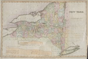
Map of Connecticut, from ’Connecticut Historical Collections’ by John Warner Barber, 1856 by American School

Map of Connecticut, from ’Connecticut Historical Collections’ by John Warner Barber, 1856

(Map of Connecticut, from 'Connecticut Historical Collections' by John Warner Barber, 1856 )


American School

€ 139.82
Includes 13.5% VAT
   Configure art print
1856  ·  engraving  ·  Image ID: 70015

Cultural Circles  ·  Cartography

Map of Connecticut, from ’Connecticut Historical Collections’ by John Warner Barber, 1856 by American School. Available as an art print on canvas, photo paper, watercolor board, natural paper, or Japanese paper.
town · state · long island sound · new england · Private Collection / Bridgeman Images
AR/3D   View in 3D / AR zu Favoriten hinzufügen   Add to favorites    Change wall color    View picture in a room
0 Reviews

Configure art print

Picture Frame

Medium & Stretcher

Glass & Passepartout

Miscellaneous & Extras

 Save / compare configuration
Preview Icon

Summary

Gemälde
Veredelung
Keilrahmen
Museumslizenz

€ 139.82
(inkl. 20% MwSt)
   Add to cart

Bildschärfe: PERFEKT

If you'd like us to adjust the brightness, colors, or crop the image, we're happy to do this for you at no extra cost. Just get in touch!

Similar artworks selected for you

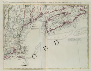
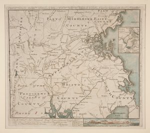
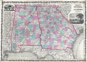
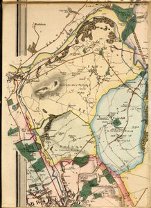
New York, Done by the State of New York to Accompany the Memoir of Cadwallader Colden Map of the Country Thirty-Three Miles Around the City of New York The Travellers Pocket Map of Louisiana University of Virginia, Dismal Swamp, and City of Baltimore. Plates 29-30 Map of Massachusetts, from Map of New England and Northern Chesapeake Region Map of Illinois Map of the state of Texas, 1835 Acadia, the Provinces of Sagadahoc and Maine, New Hampshire, Rhode Island and Part of Massachusetts and Connecticut, Engraving by G. Zuliani 1872 Map of the States of Minnesota, Wisconsin, and Michigan Map of the County of Philadelphia from Actual Survey, 1843 Map of Boston and Environs, ca. 1775 A Map of the County of Philadelphia, from Actual Survey Johnson Chester District, South Carolina B1, Idle, Shipley, Esholt Hall, Eccleshill and Part of Bradford Map of Quebec, Canada The Seat of War The Southern Portion of Rajpootana, 1820 Johnsons Map of New York State A map of the State of New York Pennsylvania, New York, southern New Jersey, with the western part of Connecticut, Massachusetts Bay and Land of the Iroquois, engraving by G. Zuliani taken from Tome I of the A Map of the Province of New York by Captain Montresor Map of the State of New York Railroad Map of the Eastern States, New England Plan of the city of New York showing the made and swampland, 1856 North-East Coast of America, from Map of Ontario and Quebec A Map of the State of Pennsylvania
Show more similar artworks

More art prints by American School

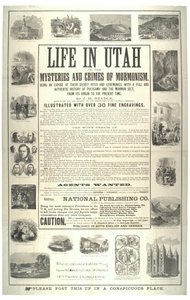
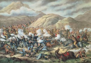
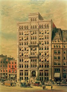
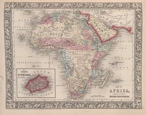
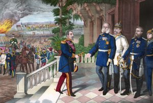
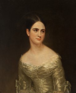
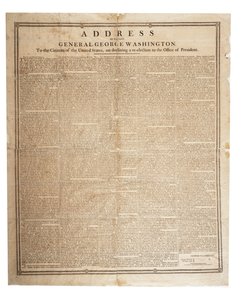
Hoffman House Bouquet Cigars, 1893 The Port of New York: Bird California, Cornucopia of the World, published by Rand McNally & Co., c. 1870 Life in Utah or the mysteries and crimes of Mormonism; being an expose of their secret rites and ceremonies, c. 1870 Poster advertising The Sandow Trocadero Vaudevilles, c. 1894 The Battle of Little Bighorn, June 25th 1876, 1889 The Standard Oil Company Building, 26 Broadway, New York, published by Root and Tinker, 1886 Advertisement for Dentacura Dentifrice, from Theatre Magazine, England, 1901 Map of Africa showing its most recent discoveries with the Island of St. Helena inset from Mitchell Franco-Prussian War 1870-1871: The surrender of Napoleon III after the Battle of Sedan, 2 September 1870. American colour line engraving, c. 1871 - War of 1870: Napoleon III (1808-1873), prisoner following the Battle of Sedan, meets William I of Prussia Poster advertising, Miss Pearce, c. 1840 Farewell address of the late General George Washington, 17th September 1796 Robert Fulton Portrait of General William Tecumseh Sherman (1820-91)
Show more works by American School

More motifs from the category Cartography

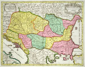
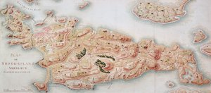
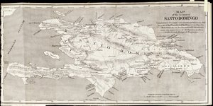
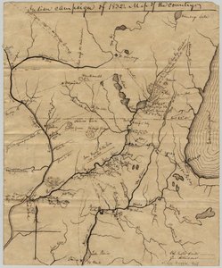
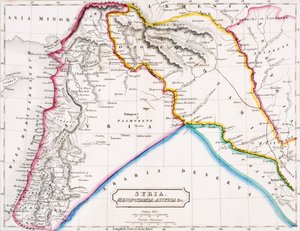
Map of the Kingdom of Hungary and the States which are United to its Crown, published by Jan Barend Elwe, Amsterdam, 1742 Map of the area of Bourges A General Map, from ’A Discourse of a Discovery for a New Passage to Cataia’ written by Humphrey Gilbert (c. 1539-83) Map of Rhode Island at the time of its occupation 1780-81 by the French Army on the orders of Jean-Baptiste de Vimeur Count of Rochambeau Map of the Island of Santo Domingo, from “Santo Domingo Past and Present” by Samuel Hazard, published 1873 Topographical Map and Survey of the Village of Issy, 1740 Map of India, 1877 Map of the Battle of Camperdown, published by William Blackwood and Sons, Edinburgh and London, 1848 Indian Campaign of 1832: Map of the Country, 1832 Map of Syria, Mesopotamia, Assyria etc., from Butler A New Map of the County of Buckinghamshire Double Hemisphere World Map, 1587 General map of the camps and march of the army in America on the orders of Rochambeau, detail of the left side, from Guerre de l The Continent of Africa, from an Atlas of the World in 33 Maps, Venice, 1st September 1553 Map of London, showing the bear baiting garden in Southwark, c. 1561
View More from "Cartography"

A selection of our top sellers

Waterlilies, 1916-19 Alley to the Capponcina “Mary Rose” A guardian angel protects two children crossing a river on an old wooden bridge, early 20th century La Primavera Spruce Thicket in Snow Le Port au soleil couchant, Opus 236 The Wild Hunt of Odin Illustration from Edgar Allan Poe View of Houses in Delft, Known as The Little Street Water Lilies ("Yellow Nirvana") Christ in the Storm on the Lake of Galilee, 1633 The Songs of the Night The Forest of Pines Setting Sun, 1913
Show more artworks


What our customers think about us


Frequently Asked Questions about Meisterdrucke


Personalizing your art print at Meisterdrucke is simple and intuitive: Choose a frame, set the image size, pick a printing medium, and add suitable glazing or a stretcher frame. We also offer additional customization options like mats, fillets, and spacers. If you have any questions, our customer service team is ready to help you create your perfect artwork.

At Meisterdrucke, you can visualize your configured artwork directly in your own room. Simply upload a photo of your space and see how the artwork looks in it. If you're visiting us on a mobile device — phone or tablet — our augmented reality feature brings the picture to life and projects it right into your room. A unique experience that combines art and technology.

Choosing the right medium is often a matter of personal taste. To give you a better idea, we've provided some images for each medium. We also offer a sample set of all paper variants, so you can decide not just visually but by touch as well. You can order the sample set free of charge — only shipping costs apply.

Don't worry! At Meisterdrucke, we don't just process orders mechanically. Every order is manually reviewed by our team. If we spot any inconsistencies or issues with your configuration, we'll get in touch with you right away. And of course, our friendly and patient support team is always here to help you with your configuration. We'll work with you by phone or email to adjust your image so the final result is exactly what you had in mind.


Still have questions?

Are you interested in an art print from our manufactory but still unsure? Do you need advice on choosing the medium or help with the order?

Our experts are happy to assist you.

+43 4257 29415
support@meisterdrucke.com

Mo-Do: 7:00 - 16:00 | Fr: 7:00 - 13:00

Still have questions?

Are you interested in an art print from our manufactory but still unsure? Do you need advice on choosing the medium or help with the order?

Our experts are happy to assist you.

+43 4257 29415
support@meisterdrucke.com
Mo-Do: 7:00 - 16:00 | Fr: 7:00 - 13:00


Meisterdrucke

   Kärntner Strasse 46
        9586 Finkenstein am Faaker See
        Austria
        +43 4257 29415
        support@meisterdrucke.com
Other languages

                   
Erfahrungen & Bewertungen zu Meisterdrucke
Post.at DHL Express Quehenberger Cargoboard
Kaiser Franz Joseph

Meisterdrucke
Kärntner Strasse 46
9586 Finkenstein am Faaker See · Austria
+43 4257 29415 · support@meisterdrucke.com
Post.at DHL Express Quehenberger Cargoboard


(c) 2026 meisterdrucke.ie