support@meisterdrucke.com  ·  0043 4257 29415

Deutsch English Italiano Español Français Nederlands Português Svenska Polski Dansk
Search by artist, work title or style – e.g. Monet, Starry Night, Impressionism, Hokusai wave, nude. Describe the scene – e.g. green meadow, abstract with lots of red, dark oil painting, standing nude next to a tree.

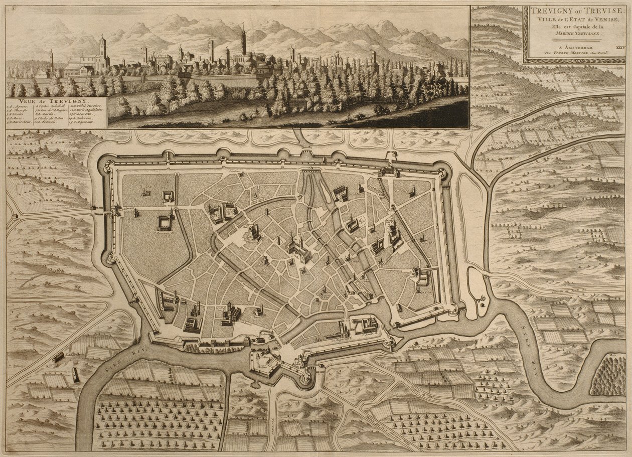
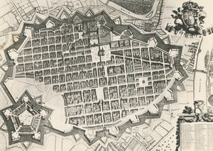
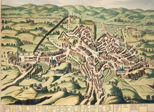
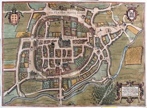
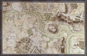
Map of Treviso, from 'Les Villes de Venetie', 1704, published by Pierre Mortier in Amsterdam by Pierre Mortier

Map of Treviso, from 'Les Villes de Venetie', 1704, published by Pierre Mortier in Amsterdam

(Map of Treviso, from 'Les Villes de Venetie', 1704, published by Pierre Mortier in Amsterdam )


Pierre Mortier

€ 146.79
Includes 13.5% VAT
   Configure art print
1704  ·  engraving  ·  Image ID: 251765

Nonclassified artists  ·  Cartography

Map of Treviso, from 'Les Villes de Venetie', 1704, published by Pierre Mortier in Amsterdam by Pierre Mortier. Available as an art print on canvas, photo paper, watercolor board, natural paper, or Japanese paper.
birds eye view · birds eye · birds-eye · panorama · topography · topographical · mapping · cartography · cartographical · index of main buildings · building · walls · wall · forticication · fortifications · fortified · italian · venetian · city · town · Private Collection / Bridgeman Images
AR/3D   View in 3D / AR zu Favoriten hinzufügen   Add to favorites    Change wall color    View picture in a room

Note: Only reviews with comments are displayed. Reviews can be submitted directly after purchase in your customer account.

Configure art print

Picture Frame

Medium & Stretcher

Glass & Passepartout

Miscellaneous & Extras

 Save / compare configuration
Preview Icon

Summary

Gemälde
Veredelung
Keilrahmen
Museumslizenz

€ 146.79
(inkl. 20% MwSt)
   Add to cart

Bildschärfe: PERFEKT

If you'd like us to adjust the brightness, colors, or crop the image, we're happy to do this for you at no extra cost. Just get in touch!

Similar artworks selected for you

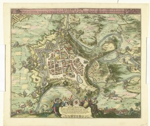
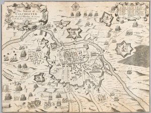
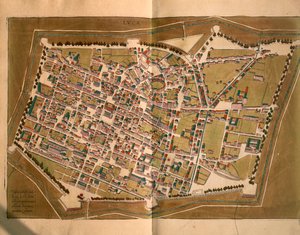
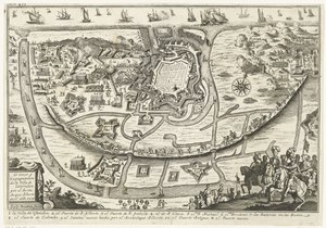
Map of Trento, from Les Villes de Venetie, 1704, published by Pierre Mortier in Amsterdam The Village of Dolceacqua from Theatrum Regiae Celsitudinis Sabaudiae Siege of Béthune, 1710 View of Frascati and Surroundings Padua, Veneto region, Italy Map of Padua, from "Les Villes de Venétie", 1704, published by Pierre Mortier in Amsterdam Padua, Italy - in Speculum Romanae Magnificentiae: View of Modern Rome from the West Map of Racconigi, Engraving by Joan Blaeu, Italy Siege of Alkmaar, 1573 City map of Turin with its citadel Map of Rovigo, from “Les Villes de Venetie”, 1704, published by Pierre Mortier in Amsterdam Map of Frankfurt Nuova pianta di Roma, published by Giambattista Nolli in the year MDCCXLVII, known as La Pianta Grande di Roma An Engraved Plan of Vienna, 1770 Bombardment of Luxembourg by Marshal de Créquy, 1684 The Siege of Colchester by the Lord Fairfax, as it was with the line and outworks 1648 Lucca (engraving) Siege of Ostend, 1601 Siege of Huy, 1705 Siege of Kaiserswerth, 1702 Plan of the City of Kaiserswerth Map of Perugia, Umbria, from Theatrum Civitatum et Admirandorum Italiae Fabriano Aerial View of the City of Jerusalem General view of the city of Vienna with detail of the main buildings and monuments. Austria Engraving from 1800 Private Collection Braga, Portugal - in Plan of the City of Rome, Part 11 with the San Pancrazio Left Bank Nancy, France City Map of Moscow in the 17th Century.
Show more similar artworks

More art prints by Pierre Mortier

Map of Padua, from "Les Villes de Venétie", 1704, published by Pierre Mortier in Amsterdam Map of Rovigo, from “Les Villes de Venetie”, 1704, published by Pierre Mortier in Amsterdam British Navy: a first-rate ship flying the White Ensign; three-decker with Admiral Types of shipping: a double-masted galley: section through, from ’Le Neptune François’, c.1693-1700 A three-masted galleass under way by oar, from Le Neptune Français, c. 1693-1700 The lead galley under way by oar, from ’Le Neptune François’, c. 1693-1700 La Neptune François, or Atlas of Marine Charts, 1693 Royal flagship of the English fleet, flying the Royal Standard, from A three-masted galleass under way by sail, oars shipped, from Map of Serravalle, from “Les Villes de Venetie”, 1704, published by Pierre Mortier in Amsterdam Map of Trento, from Les Villes de Venetie, 1704, published by Pierre Mortier in Amsterdam Map of Treviso, from Map of Belluno, from Section through a French first-rate ship of 104 cannon, from Le Neptune Français, c.1693-1700 A Brigantine giving chase to a Felucca, and about to board her, from
Show more works by Pierre Mortier

More motifs from the category Cartography

Map depicting plantations on the Mississippi River from Natchez to New Orleans, 1858 Map of London, showing the bear baiting garden in Southwark, c. 1561 Detail showing Jerusalem and Damascus from a Renaissance map of Europe, after Jacopo Russo, 1528 Map of the City of Florence Map of Venice, first half of 17th century (panel) (detail of 64062) Map of Cracow, from ’Civitates Orbis Terrarum’ by Georg Braun (1541-1622) and Frans Hogenberg (1535-90), c. 1572 Map of Atlantis, from Map of the Battle of Trafalgar, published by William Blackwood and Sons, Edinburgh and London, 1848 Map of Linz, from ’Civitates Orbis Terrarum’ by Georg Braun (1541-1622) and Frans Hogenberg (1535-90), 1594 A Map inspired by Candide by François Voltaire (1694-1778) for a competition organised by the École Nationale des Ponts et Chaussées in Paris, late 18th century Map of the World, Based on Descriptions and Coordinates Given in “Geographia”, by Ptolemy (Claudius Ptolemaeus of Alexandria) (c. 90-168 AD) Map of Europe from: Atlas Maior A Map of Chelsea, 1746 MS CCC 2* f.2v Map of Palestine Admiranta Narratio... Map of Virginia (pages 44-45), 1585-1588, colour engraving
View More from "Cartography"

A selection of our top sellers

Ulysses and the Sirens The Boulevard Montmartre at Night The Times of Day: The Morning, 1821-1822 Wall painting of a bird in a garden, Pompeii, 1st century AD After Bathing Lascaux Cave Painting, Bordeaux, France The Ascent into the Heavenly Paradise The Lake, Petworth, Sunset; Sample Study Mystical Head: Head of a Girl, 1918 Horse Study Impression, Sunrise, 1872 Most Sacred Salvator Mundi The Artist Solitary Tree
Show more artworks


What our customers think about us


Frequently Asked Questions about Meisterdrucke


Personalizing your art print at Meisterdrucke is simple and intuitive: Choose a frame, set the image size, pick a printing medium, and add suitable glazing or a stretcher frame. We also offer additional customization options like mats, fillets, and spacers. If you have any questions, our customer service team is ready to help you create your perfect artwork.

At Meisterdrucke, you can visualize your configured artwork directly in your own room. Simply upload a photo of your space and see how the artwork looks in it. If you're visiting us on a mobile device — phone or tablet — our augmented reality feature brings the picture to life and projects it right into your room. A unique experience that combines art and technology.

Choosing the right medium is often a matter of personal taste. To give you a better idea, we've provided some images for each medium. We also offer a sample set of all paper variants, so you can decide not just visually but by touch as well. You can order the sample set free of charge — only shipping costs apply.

Don't worry! At Meisterdrucke, we don't just process orders mechanically. Every order is manually reviewed by our team. If we spot any inconsistencies or issues with your configuration, we'll get in touch with you right away. And of course, our friendly and patient support team is always here to help you with your configuration. We'll work with you by phone or email to adjust your image so the final result is exactly what you had in mind.


Still have questions?

Are you interested in an art print from our manufactory but still unsure? Do you need advice on choosing the medium or help with the order?

Our experts are happy to assist you.

+43 4257 29415
support@meisterdrucke.com

Mo-Do: 7:00 - 16:00 | Fr: 7:00 - 13:00

Still have questions?

Are you interested in an art print from our manufactory but still unsure? Do you need advice on choosing the medium or help with the order?

Our experts are happy to assist you.

+43 4257 29415
support@meisterdrucke.com
Mo-Do: 7:00 - 16:00 | Fr: 7:00 - 13:00


Meisterdrucke

   Kärntner Strasse 46
        9586 Finkenstein am Faaker See
        Austria
        +43 4257 29415
        support@meisterdrucke.com
Other languages

                   
Erfahrungen & Bewertungen zu Meisterdrucke
Post.at DHL Express Quehenberger Cargoboard
Kaiser Franz Joseph

Meisterdrucke
Kärntner Strasse 46
9586 Finkenstein am Faaker See · Austria
+43 4257 29415 · support@meisterdrucke.com
Post.at DHL Express Quehenberger Cargoboard


(c) 2026 meisterdrucke.ie