support@meisterdrucke.com  ·  0043 4257 29415

Deutsch English Italiano Español Français Nederlands Português Svenska Polski Dansk
Search by artist, work title or style – e.g. Monet, Starry Night, Impressionism, Hokusai wave, nude. Describe the scene – e.g. green meadow, abstract with lots of red, dark oil painting, standing nude next to a tree.

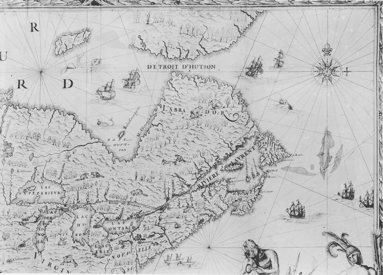
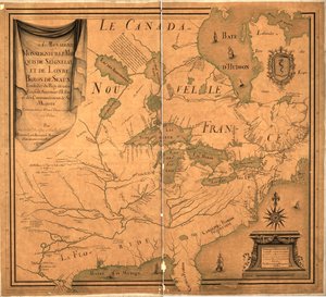
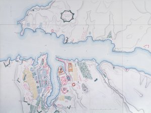
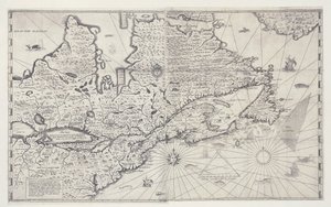
Map of New France dedicated to Colbert by Duchesneau, Intendant, 1681 (detail) by Jean Baptiste Louis Franquelin

Map of New France dedicated to Colbert by Duchesneau, Intendant, 1681 (detail)

(Map of New France dedicated to Colbert by Duchesneau, Intendant, 1681 (detail) (see also 164768))


Jean Baptiste Louis Franquelin

€ 145.51
Includes 13.5% VAT
   Configure art print
1681  ·  engraving  ·  Image ID: 64887

Nonclassified artists  ·  Cartography

Map of New France dedicated to Colbert by Duchesneau, Intendant, 1681 (detail) by Jean Baptiste Louis Franquelin. Available as an art print on canvas, photo paper, watercolor board, natural paper, or Japanese paper.
carte · jean baptiste colbert · 1619-83 · lawrence river · mouth · great lakes · labrador · newfoundland · hudson bay · baffin island · canada · canadian · Jacques Duchesneau 1650-96 · Service Historique de la Marine, Vincennes, France / Bridgeman Images
AR/3D   View in 3D / AR zu Favoriten hinzufügen   Add to favorites    Change wall color    View picture in a room
0 Reviews

Configure art print

Picture Frame

Medium & Stretcher

Glass & Passepartout

Miscellaneous & Extras

 Save / compare configuration
Preview Icon

Summary

Gemälde
Veredelung
Keilrahmen
Museumslizenz

€ 145.51
(inkl. 20% MwSt)
   Add to cart

Bildschärfe: PERFEKT

If you'd like us to adjust the brightness, colors, or crop the image, we're happy to do this for you at no extra cost. Just get in touch!

Similar artworks selected for you

Map of Canada, Engraving from Survey by Samuel de Champlain Map of St. Lawrence Gulf and River, 1699 Map of New France dedicated to Colbert by Duchesneau, Intendant, 1681 Map of the Strait of Magellan, plate from Oliver van Noort Map of Normandy after an illustration from Theatrum Orbis Terrarum sive Atlas Novus by Willem and Joan Blaeu, plate representing Normandia Ducatus Map of New Amsterdam, c.1650 Island of Cuba, Florida and Gulf of Mexico, engraving from Nova Scotia and Newfoundland, from a Series of World Maps published by John Tallis und Co., New York and London, 1850s Map of the Coast of Norway and Sweden between Merdøy and Uddevalla Map of Nova Belgica or New Belgium and of Anglia Nova or New England DeBry Map of Caribbean & Florida 1594 The Novi Belgii Map of New York, New Jersey and Pennsylvania Map of New Belgium with a View of New Amsterdam, compiled by Nicolaes Visscher c.1651-55 Map of the Coast of Norway and Sweden Between Merdøy and Uddevalla The Thames Estuary from The Sea-Mirrour atlas by Willem Janszoon Blaeu, published in Amsterdam in 1633 Map from the map collection of the National Library of Norway Map of Caernarvon Linschoten Map of the New England coastline in 1614, engraved by Simon de Passe Map of the Republic of Genoa, Italy Map of Lake Ontario with the English and French fleets New Belgium, plate from Bristol Channel A New and Accurate Plan of the City and Harbour of Cartagena, Showing the Descent of That Place by the British Fleet and Land Forces, Under the Command of the Admirals Vernon and Ogle and General Wentworth in March & April 1741 The Famous West Indian Voyage Made by the English Fleet of 23 Ships and Barks Map of 1590 engraved by Theodore de Bry after watercolour by the English colonist John White, governor of Roanoke. Virginia and coast with small islands and Roanoke at mouth of river. Secotan and Weapemeoc native lands Iceland, circa 1539 (detail) Island Elba with Piombino, Italy Extreme northeast coastline of the States, in
Show more similar artworks

More art prints by Jean Baptiste Louis Franquelin

Map of Canada, from Cartouche of Quebec from “Carte de l Map of New France dedicated to Colbert by Duchesneau, Intendant, 1681 (detail) Map of New France dedicated to Colbert by Duchesneau, Intendant, 1681 View of Quebec, cartouche of a map depicting St. Lawrence River from Sorel, 1699 Franquelin Cartouche from No. 3--124885
Show more works by Jean Baptiste Louis Franquelin

More motifs from the category Cartography

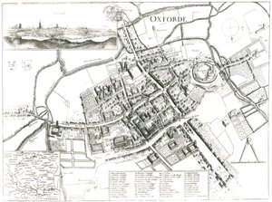
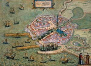
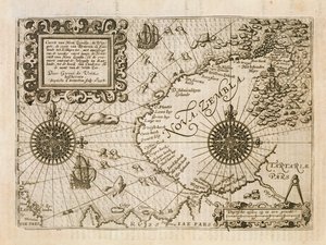
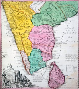
Cyprus, Renaissance map of Europe, after Jacopo Russo, 1528 Map of Oxford, 1643 Map of Flissinga, from Civitates Orbis Terrarum by Georg Braun (1541-1622) and Frans Hogenberg (1535-90), c. 1572-1617 Map of the newly discovered Nova Zembla, illustration from Diarium Nauticum, seu vera descriptio trium navigationum admirandarum... by Gerrit de Veer, 1598 Map of Paris, 1723 Map of the Indian Peninsula, 1733 The Travellers Pocket Map of Louisiana Map of Europe, illustration from Le Magasin Pittoresque, 1849 Map of Sevastopol, 1854 Map of the Andaman and Nicobar Islands, Bay of Bengal, 1898 A Map of The King Map of Ancient Egypt, 1584 Map of India, showing the progress of the Imperial Surveys, published under the direction of Colonel H.R. Thuillier, R.E., Surveyor General of India, 1888 Map of North-eastern Brazil Map of Yorkshire, engraved by William Web, published 1645
View More from "Cartography"

A selection of our top sellers

The Plain of Auvers, 1890 Sailing Ships The North Cape by Moonlight, 1848 Cubist Lilies After a Gale, 1903 Night and Sleep, 1878 Interior of the Palm House at Potsdam, 1833 Ideas for a Geography of Plants Together with a Physical Portrait of the Tropical Lands The Seasons: Autumn, 1896 The Butterfly Hunter Lavender Fields in Old Provence Avenue in the Park of Kammer Castle, 1912 Vassilissa in the Forest, illustration from the Russian folk tale, Cosmic Cliffs in the Carina Nebula (NIRCam Image) The Kiss, 1907-08
Show more artworks


What our customers think about us


Frequently Asked Questions about Meisterdrucke


Personalizing your art print at Meisterdrucke is simple and intuitive: Choose a frame, set the image size, pick a printing medium, and add suitable glazing or a stretcher frame. We also offer additional customization options like mats, fillets, and spacers. If you have any questions, our customer service team is ready to help you create your perfect artwork.

At Meisterdrucke, you can visualize your configured artwork directly in your own room. Simply upload a photo of your space and see how the artwork looks in it. If you're visiting us on a mobile device — phone or tablet — our augmented reality feature brings the picture to life and projects it right into your room. A unique experience that combines art and technology.

Choosing the right medium is often a matter of personal taste. To give you a better idea, we've provided some images for each medium. We also offer a sample set of all paper variants, so you can decide not just visually but by touch as well. You can order the sample set free of charge — only shipping costs apply.

Don't worry! At Meisterdrucke, we don't just process orders mechanically. Every order is manually reviewed by our team. If we spot any inconsistencies or issues with your configuration, we'll get in touch with you right away. And of course, our friendly and patient support team is always here to help you with your configuration. We'll work with you by phone or email to adjust your image so the final result is exactly what you had in mind.


Still have questions?

Are you interested in an art print from our manufactory but still unsure? Do you need advice on choosing the medium or help with the order?

Our experts are happy to assist you.

+43 4257 29415
support@meisterdrucke.com

Mo-Do: 7:00 - 16:00 | Fr: 7:00 - 13:00

Still have questions?

Are you interested in an art print from our manufactory but still unsure? Do you need advice on choosing the medium or help with the order?

Our experts are happy to assist you.

+43 4257 29415
support@meisterdrucke.com
Mo-Do: 7:00 - 16:00 | Fr: 7:00 - 13:00


Meisterdrucke

   Kärntner Strasse 46
        9586 Finkenstein am Faaker See
        Austria
        +43 4257 29415
        support@meisterdrucke.com
Other languages

                   
Erfahrungen & Bewertungen zu Meisterdrucke
Post.at DHL Express Quehenberger Cargoboard
Kaiser Franz Joseph

Meisterdrucke
Kärntner Strasse 46
9586 Finkenstein am Faaker See · Austria
+43 4257 29415 · support@meisterdrucke.com
Post.at DHL Express Quehenberger Cargoboard


(c) 2026 meisterdrucke.ie