support@meisterdrucke.com  ·  0043 4257 29415

Deutsch English Italiano Español Français Nederlands Português Svenska Polski Dansk
Search by artist, work title or style – e.g. Monet, Starry Night, Impressionism, Hokusai wave, nude. Describe the scene – e.g. green meadow, abstract with lots of red, dark oil painting, standing nude next to a tree.

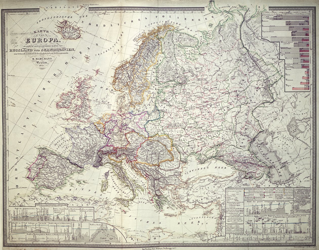
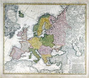
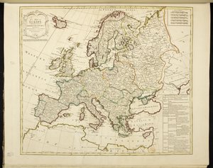
Map of Europe, 1841 by German School

Map of Europe, 1841

(Map of Europe, 1841 )


German School

€ 139.82
Includes 13.5% VAT
   Configure art print
1841  ·  colour lithograph  ·  Image ID: 86675

Cultural Circles  ·  Cartography

Map of Europe, 1841 by German School. Available as an art print on canvas, photo paper, watercolor board, natural paper, or Japanese paper.
mapping · cartography · geography · topography · statistics · europa · russia · scandinavia · european · Private Collection / Bridgeman Images
AR/3D   View in 3D / AR zu Favoriten hinzufügen   Add to favorites    Change wall color    View picture in a room
0 Reviews

Configure art print

Picture Frame

Medium & Stretcher

Glass & Passepartout

Miscellaneous & Extras

 Save / compare configuration
Preview Icon

Summary

Gemälde
Veredelung
Keilrahmen
Museumslizenz

€ 139.82
(inkl. 20% MwSt)
   Add to cart

Bildschärfe: PERFEKT

If you'd like us to adjust the brightness, colors, or crop the image, we're happy to do this for you at no extra cost. Just get in touch!

Similar artworks selected for you

Johnson Map of Europe. Second Half of the 19th Century. Italian Atlas. Stabilimento Civelli. Milan. Geographic map of Europe at the time of Napoleon I. In “Atlante Storico Geografico” by K. von Sruner The map was published in Nuremberg by Christoph Fembo (1823) and shows Europe Europe in 814 - Empires of the West and the East - Plate extracted from Map of Europe, 1902 Map of Europe in 1743. A 19th century coloured map of Europe, compiled for use in colleges and schools. Atlas of Europe in 814: Empires of the West and the East. From New Map of Europe Done from the Most Accurate Observations Communicated to the Royal Society Johnson Map of Europe Wallis Europe, engraving A Map of Europe, Divided into Its Empires and Kingdoms, by J. Palairet with Several Improvements and Additions from D Europe Europe, from Modern Europe Europe Map of Europe Map of Europe, c.1900 Map of Europe Map of Europe New Universal Geography Map of Europe, published in 1700, Paris Geographic Map of Europe in the 1870s. 19th-Century Colour Lithography Europe After the Invasion of the Barbarians in the 6th Century - Plate Extracted from Europe and the Orient at the time of the 3rd Great Crusade at the end of the 13th century - Map prepared by M. J.-H. Schnitzler, Historical and Picturesque Atlas, 1858 Map of the Western Part of the Roman Empire, 1763
Show more similar artworks

More art prints by German School

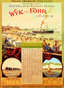
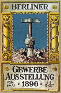
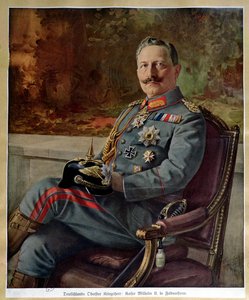
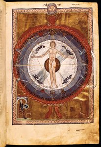
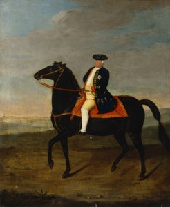
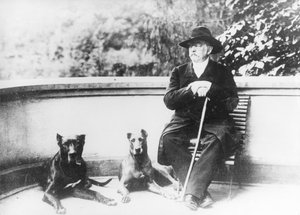
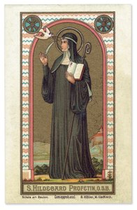
Wyk on Föhr, advertising poster for the Wyk Steam Shipping Company, 1897 Poster for the Industrial Exhibition in Berlin, Germany, 1896 Portrait of Kaiser Wilhelm II (1859-1941) Ms 1942 The Cosmic Spheres and Human Being, vision of Hildegard of Bingen from "Liber Divinorum Operum", c.1220-30 St. Brendan and a Siren, from the German translation of Navigatio Sancti Brendani Abbatis, c. 1476 Arthur Schopenhauer, 1884-90 The Whore of Babylon, from the Luther Bible, c. 1530 (coloured woodcut) Sylt North Sea Baths, advertising poster for the Sylt Steamship Company, 1893 Poster advertising the German East Africa Line, 1890 Fantastic Depiction of the Solar System (later colouration) King Frederick William I on Horseback with Potsdam in the Background, c.1735 Elk, 1860 Prince Otto von Bismarck-Schönhausen, 8 February 1891 Hildegard of Bingen The Choir of Angels. Miniature from Liber Scivias by Hildegard of Bingen, c. 1175
Show more works by German School

More motifs from the category Cartography

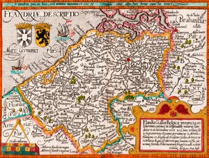
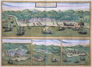
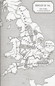
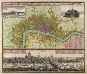
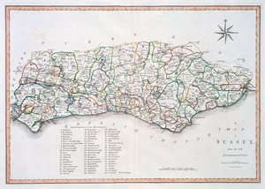
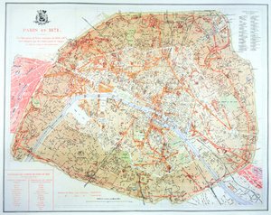
Map of Flanders, after cartographer Matthias Quad from his ’Fasciculus Geographicus’, later hand colouring Map of Calicut, from Map of Lower Egypt and Part of Syria, published by William Blackwood and Sons, Edinburgh and London, 1848 Map of Britain in 792, from A Sailing Ship Firing Its Cannon, Detail from a Map of the Pacific, China and America, 1599 Map showing the localities of the Indian tribes of the US in 1833, illustration from Map of Florence, 1584 Fol. 16 Map of Persia, Arabia and India, from an atlas, 1571 Map and Prospect of London, c. 1710 Map of the Pacific, China and America, 1589, by Abrahamus Ortelius (1527-98) Map of Sussex, 26th March 1805 Map of Spain and Portugal, 1731 Map showing the extent of work during the Haussmann period of development in Paris from 1854-71, 1871 Map of the Vendée depicting the area of the Vendée Revolt (1793-96) in March 1793, c. 1815 Septentrionalium terrarum descriptio, map of the Arctic, 1595
View More from "Cartography"

A selection of our top sellers

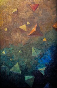
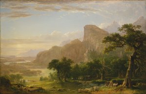
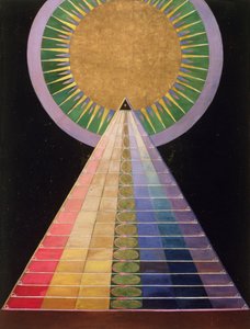
The Geographer Sleeping Dachshund in an Armchair Tetrahedra, c.1910 Landscape scene from Thanatopsis, 1850 Summer, 1573 Untitled No. 1 from a Series of Altar Paintings, 1915 Madonna and Child with Two Angels Divine Mercy Composition, 1930 Marine Solitude, 1852 Ice Floes at Bennecourt The times of day: The evening, 1821-1822 Ghost of a Genius The Girls Sun glitter over the sea, Skagen
Show more artworks


What our customers think about us


Frequently Asked Questions about Meisterdrucke


Personalizing your art print at Meisterdrucke is simple and intuitive: Choose a frame, set the image size, pick a printing medium, and add suitable glazing or a stretcher frame. We also offer additional customization options like mats, fillets, and spacers. If you have any questions, our customer service team is ready to help you create your perfect artwork.

At Meisterdrucke, you can visualize your configured artwork directly in your own room. Simply upload a photo of your space and see how the artwork looks in it. If you're visiting us on a mobile device — phone or tablet — our augmented reality feature brings the picture to life and projects it right into your room. A unique experience that combines art and technology.

Choosing the right medium is often a matter of personal taste. To give you a better idea, we've provided some images for each medium. We also offer a sample set of all paper variants, so you can decide not just visually but by touch as well. You can order the sample set free of charge — only shipping costs apply.

Don't worry! At Meisterdrucke, we don't just process orders mechanically. Every order is manually reviewed by our team. If we spot any inconsistencies or issues with your configuration, we'll get in touch with you right away. And of course, our friendly and patient support team is always here to help you with your configuration. We'll work with you by phone or email to adjust your image so the final result is exactly what you had in mind.


Still have questions?

Are you interested in an art print from our manufactory but still unsure? Do you need advice on choosing the medium or help with the order?

Our experts are happy to assist you.

+43 4257 29415
support@meisterdrucke.com

Mo-Do: 7:00 - 16:00 | Fr: 7:00 - 13:00

Still have questions?

Are you interested in an art print from our manufactory but still unsure? Do you need advice on choosing the medium or help with the order?

Our experts are happy to assist you.

+43 4257 29415
support@meisterdrucke.com
Mo-Do: 7:00 - 16:00 | Fr: 7:00 - 13:00


Meisterdrucke

   Kärntner Strasse 46
        9586 Finkenstein am Faaker See
        Austria
        +43 4257 29415
        support@meisterdrucke.com
Other languages

                   
Erfahrungen & Bewertungen zu Meisterdrucke
Post.at DHL Express Quehenberger Cargoboard
Kaiser Franz Joseph

Meisterdrucke
Kärntner Strasse 46
9586 Finkenstein am Faaker See · Austria
+43 4257 29415 · support@meisterdrucke.com
Post.at DHL Express Quehenberger Cargoboard


(c) 2026 meisterdrucke.ie