support@meisterdrucke.com  ·  0043 4257 29415

Deutsch English Italiano Español Français Nederlands Português Svenska Polski Dansk
Search by artist, work title or style – e.g. Monet, Starry Night, Impressionism, Hokusai wave, nude. Describe the scene – e.g. green meadow, abstract with lots of red, dark oil painting, standing nude next to a tree.

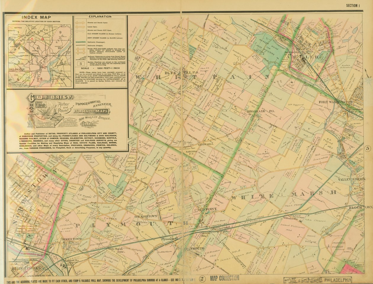
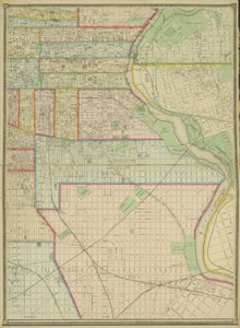
Baist's Map Showing the Development of the City & Suburbs of Philadelphia, Plate 1, 1897 by George William Baist

Baist's Map Showing the Development of the City & Suburbs of Philadelphia, Plate 1, 1897

(Baists Map Showing the Development of the City & Suburbs of Philadelphia, plate 1, 1897 )


George William Baist

€ 142.5
Includes 13.5% VAT
   Configure art print
1897  ·  colour lithograph  ·  Image ID: 365081

Nonclassified artists  ·  Cartography

Baist's Map Showing the Development of the City & Suburbs of Philadelphia, Plate 1, 1897 by George William Baist. Available as an art print on canvas, photo paper, watercolor board, natural paper, or Japanese paper.
Free Library of Philadelphia / Bridgeman Images
AR/3D   View in 3D / AR zu Favoriten hinzufügen   Add to favorites    Change wall color    View picture in a room
0 Reviews

Configure art print

Picture Frame

Medium & Stretcher

Glass & Passepartout

Miscellaneous & Extras

 Save / compare configuration
Preview Icon

Summary

Gemälde
Veredelung
Keilrahmen
Museumslizenz

€ 142.5
(inkl. 20% MwSt)
   Add to cart

Bildschärfe: PERFEKT

If you'd like us to adjust the brightness, colors, or crop the image, we're happy to do this for you at no extra cost. Just get in touch!

Similar artworks selected for you

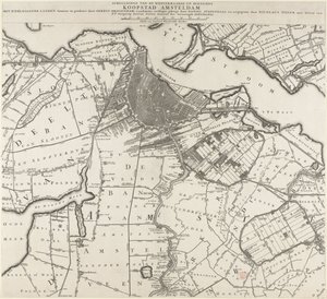
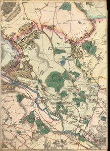
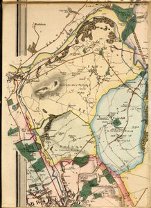
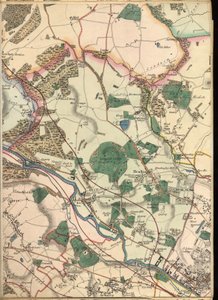
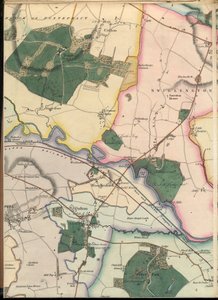
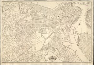
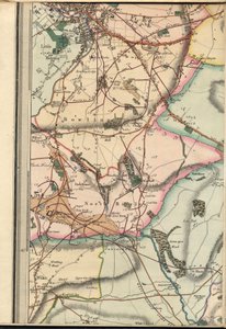
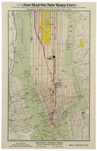
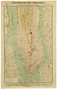
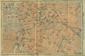
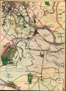
Plate 5, Map of the Whole Incorporated City of Philadelphia, 1867 Waller County, Texas Map of the Township of Oxford, Boroughs of Frankford & Bridesburg with Parts of Bristol, N. Liberties and Cheltenham Townships, 1849 Astoria, Part of Long Island City, Town of Newtown, Queens, Co. L.I Harlem, survey of 1888-89 and 1897, ed. of 1900, repr. 1908 Map of the County of Philadelphia from Actual Survey, 1843 Available also through the Library of Congress Web site as a raster image. Includes index. Stamped in black ink at upper left of title page A Map of the County of Philadelphia, from Actual Survey Map of Amsterdam and Surrounding Areas Map Showing Toll Bar House, Morris Lane, Kirkstall, West Yorkshire Map of Philadelphia County, 1819 B1, Idle, Shipley, Esholt Hall, Eccleshill and Part of Bradford B3, Detail from Map of Ten Miles Around Leeds C5, Temple Newsam, Colton, Swillington, Woodlesford, Oulton & Methley Map of Boston C1 South Bradford, Bolling Hall, Bowling & North Brierley New map of New York City from the latest surveys showing all the ferries and steamship docks, elevated, subways electric and cross town car lines B4, Chapel Allerton, Gledhow, Harehills, Sheepscar and Central Leeds Scott D5, Altofts, Normanton, Stanley & Warmfield Fireman C3, Wortley, Farnley, Holbeck, Beeston, Churwell & Gildersome Sanborn Fire Insurance Map from Lansing, Ingham County, Michigan Brodsky District New map of New York City from the latest surveys showing all the ferries and steamship docks, elevated, subways electric and cross town car lines Map of the city of New York, made under the direction of the Commissioners of the Metropolitan Fire Department, showing the location of buildings in the possession and use of the Metropolitan Fire Department and of the Metropolitan Police Department Shows Real-Property Tracts and Owners Map of Berlin Center, from a travel guide Baedeker C4, South Leeds, Hunslet, Thorp, Middleton, Rothwell Haigh & Carlton
Show more similar artworks

More motifs from the category Cartography

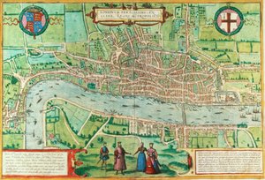
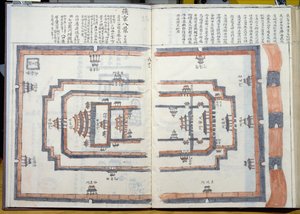
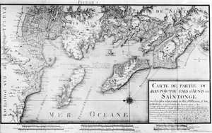
Map of London, from Map of Naples, c. 1600 Map of Milan, from Civitates Orbis Terrarum by Georg Braun (1541-1622) and Frans Hogenburg (1535-90), c. 1572 Ms 466 fol. 1 Map of the city of Jerusalem, before 1167 Ms HM 2182 Maps made during the voyage of a Vietnamese embassy to China MS HM 2182 The Forbidden City in Peking, from a collection of maps made during a Vietnamese embassy to China Map of Sussex Map of India and Ceylon, from the Map describing the islands of Salvador, Española, Fernanda, Isabella and Conception, 1493 A Map inspired by Candide by François Voltaire (1694-1778) for a competition organised by the École Nationale des Ponts et Chaussées in Paris, late 18th century Map of the Battle of Wagram, published by William Blackwood and Sons, Edinburgh and London, 1848 Map of Augsburg, from Map No. 3 Showing the Route of the Armada Fleet, engraved by Augustine Ryther, 1588 Map of Mexico and Central America, from the Atlas 131 H f.1, Map of Bas-Poitou, Pays d
View More from "Cartography"

A selection of our top sellers

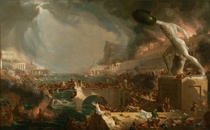
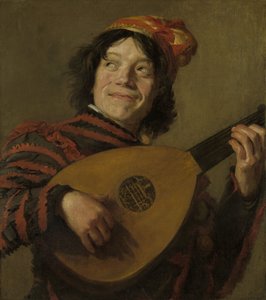
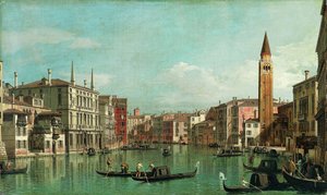
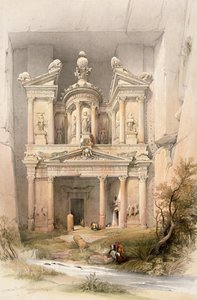
The Destruction of an Empire The Entrance to the Grand Canal, Venice The Lute Player, c. 1623-24 The Course of Empire. Desolation The Grand Canal, Venice, Looking Southeast, with the Campo della Carità to the Right, 1730s. Petra, March 7th 1839, plate 92 from Volume III of „The Holy Land“, engraved by Louis Haghe (1806-85), published 1849 Cliff Walk at Pourville, 1882 The Destruction of Herculaneum and Pompeii The Monk by the Sea, 1808-1810 Little Heath Princess. 1889 Moonrise over the Sea The Lady of Shalott The Boxer Reclining Female Nude Composition, 1930
Show more artworks


What our customers think about us


Frequently Asked Questions about Meisterdrucke


Personalizing your art print at Meisterdrucke is simple and intuitive: Choose a frame, set the image size, pick a printing medium, and add suitable glazing or a stretcher frame. We also offer additional customization options like mats, fillets, and spacers. If you have any questions, our customer service team is ready to help you create your perfect artwork.

At Meisterdrucke, you can visualize your configured artwork directly in your own room. Simply upload a photo of your space and see how the artwork looks in it. If you're visiting us on a mobile device — phone or tablet — our augmented reality feature brings the picture to life and projects it right into your room. A unique experience that combines art and technology.

Choosing the right medium is often a matter of personal taste. To give you a better idea, we've provided some images for each medium. We also offer a sample set of all paper variants, so you can decide not just visually but by touch as well. You can order the sample set free of charge — only shipping costs apply.

Don't worry! At Meisterdrucke, we don't just process orders mechanically. Every order is manually reviewed by our team. If we spot any inconsistencies or issues with your configuration, we'll get in touch with you right away. And of course, our friendly and patient support team is always here to help you with your configuration. We'll work with you by phone or email to adjust your image so the final result is exactly what you had in mind.


Still have questions?

Are you interested in an art print from our manufactory but still unsure? Do you need advice on choosing the medium or help with the order?

Our experts are happy to assist you.

+43 4257 29415
support@meisterdrucke.com

Mo-Do: 7:00 - 16:00 | Fr: 7:00 - 13:00

Still have questions?

Are you interested in an art print from our manufactory but still unsure? Do you need advice on choosing the medium or help with the order?

Our experts are happy to assist you.

+43 4257 29415
support@meisterdrucke.com
Mo-Do: 7:00 - 16:00 | Fr: 7:00 - 13:00


Meisterdrucke

   Kärntner Strasse 46
        9586 Finkenstein am Faaker See
        Austria
        +43 4257 29415
        support@meisterdrucke.com
Other languages

                   
Erfahrungen & Bewertungen zu Meisterdrucke
Post.at DHL Express Quehenberger Cargoboard
Kaiser Franz Joseph

Meisterdrucke
Kärntner Strasse 46
9586 Finkenstein am Faaker See · Austria
+43 4257 29415 · support@meisterdrucke.com
Post.at DHL Express Quehenberger Cargoboard


(c) 2026 meisterdrucke.ie