support@meisterdrucke.com  ·  0043 4257 29415

Deutsch English Italiano Español Français Nederlands Português Svenska Polski Dansk
Search by artist, work title or style – e.g. Monet, Starry Night, Impressionism, Hokusai wave, nude. Describe the scene – e.g. green meadow, abstract with lots of red, dark oil painting, standing nude next to a tree.

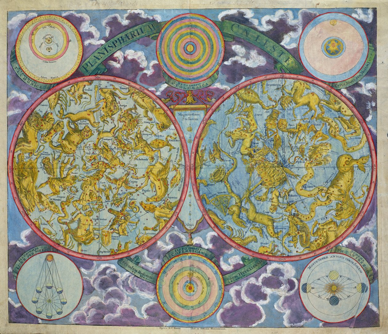
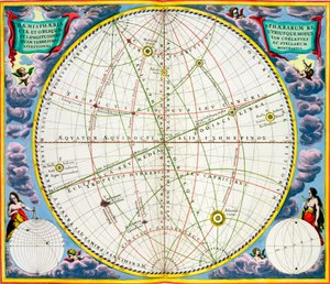
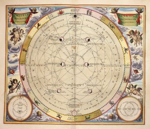
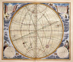
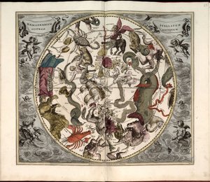
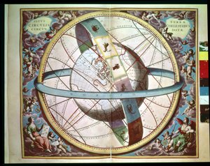
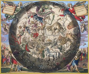
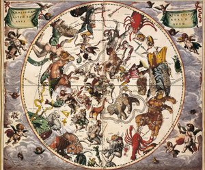
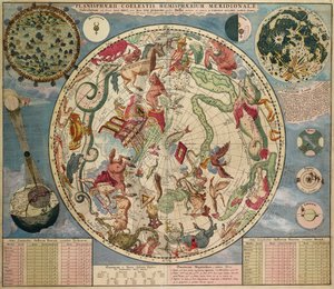
Celestial Map of the Planets by Georg Christoph II Eimmart

Celestial Map of the Planets

(Celestial Map of the Planets )


Georg Christoph II Eimmart

€ 129
Includes 13.5% VAT
   Configure art print
Undated  ·  coloured engraving  ·  Image ID: 44032

Nonclassified artists  ·  Cartography

Celestial Map of the Planets by Georg Christoph II Eimmart. Available as an art print on canvas, photo paper, watercolor board, natural paper, or Japanese paper.
copernicus · theory · ptolemy · tycho · astronomical · constellations · copernic · O'Shea Gallery, London, UK / Bridgeman Images
AR/3D   View in 3D / AR zu Favoriten hinzufügen   Add to favorites    Change wall color    View picture in a room
0 Reviews

Configure art print

Picture Frame

Medium & Stretcher

Glass & Passepartout

Miscellaneous & Extras

 Save / compare configuration
Preview Icon

Summary

Gemälde
Veredelung
Keilrahmen
Museumslizenz

€ 129
(inkl. 20% MwSt)
   Add to cart

Bildschärfe: PERFEKT

If you'd like us to adjust the brightness, colors, or crop the image, we're happy to do this for you at no extra cost. Just get in touch!

Similar artworks selected for you

Planesphaeri Coelestis Hemisphaerium Meridionale Star Chart for the Southern Hemisphere, End of the Year 1700, c. 1700, 1936 Celestial Planisphere Showing the Signs of the Zodiac, from Planesphaerii Coelestis Hemisphaerium Septentrionale Ancient Southern Starry Hemisphere Map of the celestial Southern Hemisphere, 1660-1661 Northern (Boreal) Hemisphere, from ‘The Celestial Atlas, or the Harmony of the Universe’, engraved by Pieter Schenk (1660-1719) and Gerard Valk (1651-1726) Map of the Southern Hemisphere, from “The Celestial Atlas, or The Harmony of the Universe” (Atlas coelestis seu harmonia macrocosmica), published by Joannes Janssonius, Amsterdam, 1660-61, hand-coloured engraving The Curious Atlas or the World Represented in General and Particular Maps of the Sky and Earth, p. 17 1661 Celestial Map of the Southern Sky Map charting the movement of the Earth and Planets Celestial Planisphere: Northern Hemisphere Stars and signs of the zodiac Plate 27 from Phases of the Moon and its orbit, engraving from Harmonia Macrocosmica, by Andreas Cellarius (1596-1665) Trajectories of planets and stars as seen from Earth, from Harmonia Macrocosmica Phillips, 4274 Available also through the Library of Congress Web site as a raster image. Includes index. Some plates engraved by Johannes van Loon. In addition to the 29 plates specified in the table of contents, there is an additional plate between plate Map Charting the Movement of the Earth and Planets, from Celestial Map of the Constellations of the Southern Hemisphere (1660) 1660 Celestial Chart of the Northern Sky World map with encircling zodiac, Northern (Boreal) Hemisphere, from “The Celestial Atlas, or the Harmony of the Universe”, engraved by Pieter Schenk (1660-1719) and Gerard Valk (1651-1726) Celestial planisphere showing the signs of the zodiac, 1660-1661 Map of the sky and signs of the zodiac - facsimile of an ancient composition representing the constellations of the southern sky, according to Representation of the Southern Hemisphere by Cellarius. 17th century book. Map of the Christian Constellations as depicted by Julius Schiller, from “The Celestial Atlas, or The Harmony of the Universe” (Atlas coelestis seu harmonia macrocosmica), published by Joannes Janssonius, A Map of the Southern Hemisphere, from CELLARIUS, Andreas (1596-1665). Atlas Coelestis seu Harmonia Macrocosmica. 1661. Fol. 24. Hemisphaerium stellatum boreale antiquum. Representation of the Northern Hemisphere. Printed in Amsterdam by Johannes Janssonius. Early Modern Era. Engraving. SPAIN. Map Showing Tycho Brahe
Show more similar artworks

More motifs from the category Cartography

A Map of the Royal Palace and Gardens of Kensington, London, 1736 Atlas 131 H.fol. 71, Map of part of Bas-Poitou and the Île de Noirmoutier, 1703 Partial Map of the Middle East in the 1890s, from "The Citizen Map of Serravalle, from “Les Villes de Venetie”, 1704, published by Pierre Mortier in Amsterdam Map of the races of Oceania and Australasia, from „The History of Mankind“, Vol. 1, by Prof. Friedrich Ratzel, 1896 Map of the World, Based on Descriptions and Coordinates Given in “Geographia”, by Ptolemy (Claudius Ptolemaeus of Alexandria) (c. 90-168 AD) Reproduction of Map of Routes of St. James of Compostela, originally engraved by D. Serveaux 1648 Map of the New Discoveries to the North of the South Seas, 1750 Map of Cumberland A Map of the Province of New York with Part of Pennsylvania and New England, from an Actual Survey by Captain Montrésor, Engineer, 1775, 10 June 1775 Map of Charlemagne Map of Wilnis, from ’Civitates Orbis Terrarum’ by Georg Braun (1541-1622) and Frans Hogenberg (1535-90), c.1572-1617 A New and Correct Map of the World Laid Down According to the Newest Discoveries and from the Most Exact Observations, 1736 The Travellers Pocket Map of Louisiana Map of the gold-bearing regions in Peru, from the Atlas Maior, Sive Cosmographia Blaviana, 1662
View More from "Cartography"

A selection of our top sellers

Irises Small Rhythmic Landscape Boy Writing with His Sister, 1875 St. Thomas Aquinas Summer, 1573 Study for “Passage of Humaitá” Woman at a Window Portrait of the Philosopher and Esotericist Rudolf Steiner Shooting Stars (Franz and Mary von Stuck) The Stages of Life Sack of Rome (455) - The Course of Empire - Destruction - 1836 - New York Historical Society - (Rome, Roman Empire, Gaiseric, Genseric, Migration Period, Barbarian Invasions, Vandals, Fall of Western Roman Empire, Fall of Rome, Sack of Rome) St. Paul Boys Bathing, 1912 Napoleon Crossing the Alps Rose: Bengale the Hymenes, from
Show more artworks


What our customers think about us


Frequently Asked Questions about Meisterdrucke


Personalizing your art print at Meisterdrucke is simple and intuitive: Choose a frame, set the image size, pick a printing medium, and add suitable glazing or a stretcher frame. We also offer additional customization options like mats, fillets, and spacers. If you have any questions, our customer service team is ready to help you create your perfect artwork.

At Meisterdrucke, you can visualize your configured artwork directly in your own room. Simply upload a photo of your space and see how the artwork looks in it. If you're visiting us on a mobile device — phone or tablet — our augmented reality feature brings the picture to life and projects it right into your room. A unique experience that combines art and technology.

Choosing the right medium is often a matter of personal taste. To give you a better idea, we've provided some images for each medium. We also offer a sample set of all paper variants, so you can decide not just visually but by touch as well. You can order the sample set free of charge — only shipping costs apply.

Don't worry! At Meisterdrucke, we don't just process orders mechanically. Every order is manually reviewed by our team. If we spot any inconsistencies or issues with your configuration, we'll get in touch with you right away. And of course, our friendly and patient support team is always here to help you with your configuration. We'll work with you by phone or email to adjust your image so the final result is exactly what you had in mind.


Still have questions?

Are you interested in an art print from our manufactory but still unsure? Do you need advice on choosing the medium or help with the order?

Our experts are happy to assist you.

+43 4257 29415
support@meisterdrucke.com

Mo-Do: 7:00 - 16:00 | Fr: 7:00 - 13:00

Still have questions?

Are you interested in an art print from our manufactory but still unsure? Do you need advice on choosing the medium or help with the order?

Our experts are happy to assist you.

+43 4257 29415
support@meisterdrucke.com
Mo-Do: 7:00 - 16:00 | Fr: 7:00 - 13:00


Meisterdrucke

   Kärntner Strasse 46
        9586 Finkenstein am Faaker See
        Austria
        +43 4257 29415
        support@meisterdrucke.com
Other languages

                   
Erfahrungen & Bewertungen zu Meisterdrucke
Post.at DHL Express Quehenberger Cargoboard
Kaiser Franz Joseph

Meisterdrucke
Kärntner Strasse 46
9586 Finkenstein am Faaker See · Austria
+43 4257 29415 · support@meisterdrucke.com
Post.at DHL Express Quehenberger Cargoboard


(c) 2026 meisterdrucke.ie