support@meisterdrucke.com  ·  0043 4257 29415

Deutsch English Italiano Español Français Nederlands Português Svenska Polski Dansk
Search by artist, work title or style – e.g. Monet, Starry Night, Impressionism, Hokusai wave, nude. Describe the scene – e.g. green meadow, abstract with lots of red, dark oil painting, standing nude next to a tree.

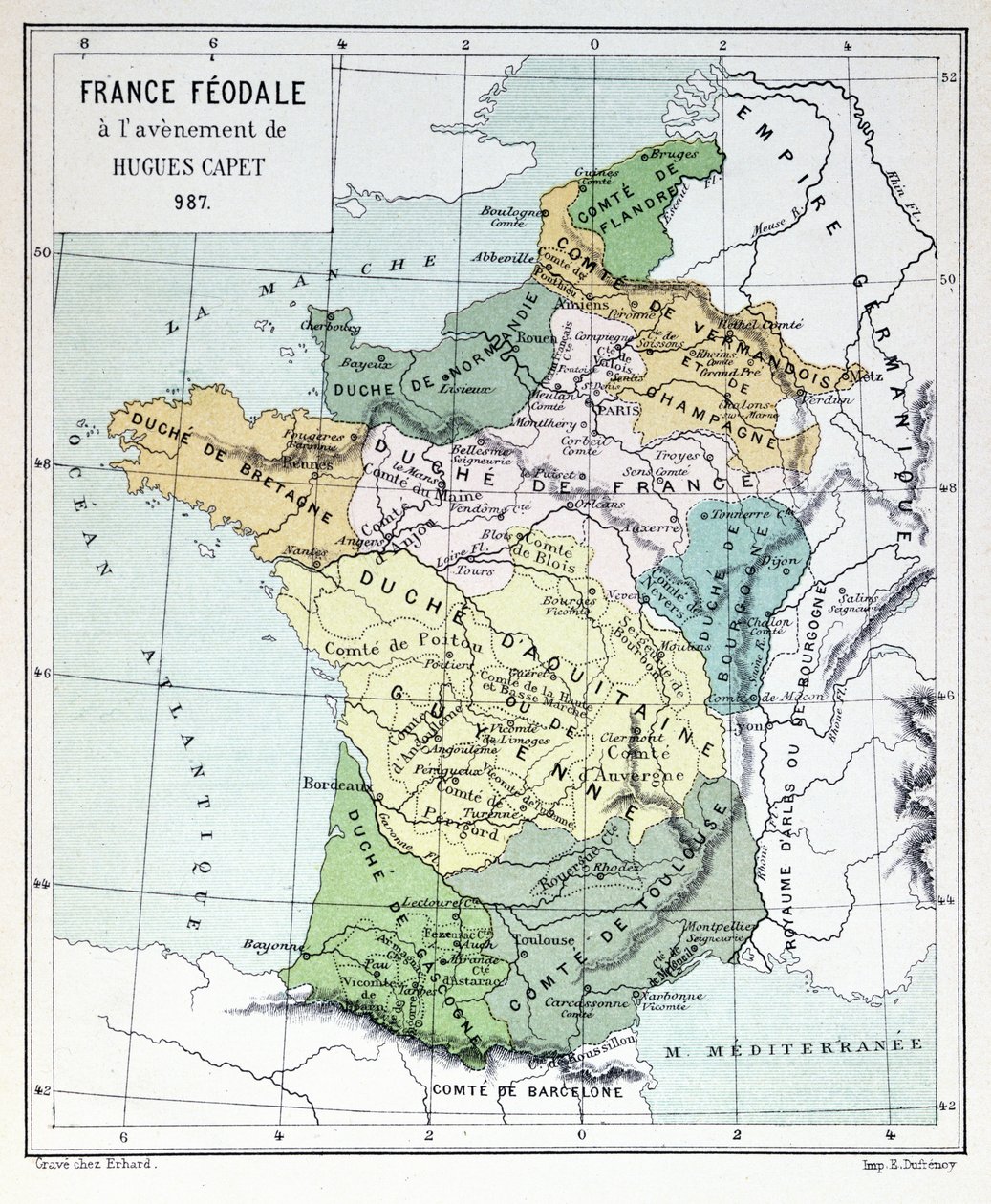
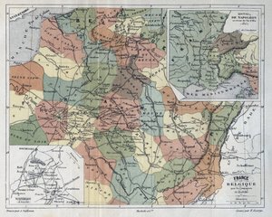
Feudal France at the time of the accession of Hugues Capet in 987, map illustrated in a Histoire de France, c. 1880 by French School

Feudal France at the time of the accession of Hugues Capet in 987, map illustrated in a Histoire de France, c. 1880

(Feudal France at the time of the Accession of Hugues Capet in 987, map illustrated in a Histoire de France c.1880 )


French School

€ 135.41
Includes 13.5% VAT
   Configure art print
19th century  ·  colour lithograph  ·  Image ID: 432259

Cultural Circles  ·  Cartography

Feudal France at the time of the accession of Hugues Capet in 987, map illustrated in a Histoire de France, c. 1880 by French School. Available as an art print on canvas, photo paper, watercolor board, natural paper, or Japanese paper.
capetian · king · male · hugh · epoque · Private Collection / Bridgeman Images
Other color versions of this image  
AR/3D   View in 3D / AR zu Favoriten hinzufügen   Add to favorites    Change wall color    View picture in a room
0 Reviews

Configure art print

Picture Frame

Medium & Stretcher

Glass & Passepartout

Miscellaneous & Extras

 Save / compare configuration
Preview Icon

Summary

Gemälde
Veredelung
Keilrahmen
Museumslizenz

€ 135.41
(inkl. 20% MwSt)
   Add to cart

Bildschärfe: PERFEKT

If you'd like us to adjust the brightness, colors, or crop the image, we're happy to do this for you at no extra cost. Just get in touch!

Similar artworks selected for you

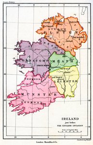
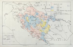
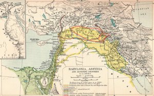
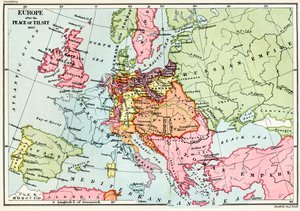
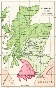
Map of the Austro-Hungarian Empire, illustration from a French geography school textbook, 1905 Map of France: Geological France - in Central Europe showing the historic sites and battlefields of 1792-1813 - engraving in Gaul Map of the Spanish Campaign, c1807-1814, 1896 Map of the Belgian Frontier with Forts, 1919 Map of France - in Canaan as it was Divided Between the Twelve Tribes of Israel The Mongolian Empire from 12th-15th Century, c1903, 1904 Map of the Russo-Japanese War Canaan, or Palestine at the Time of the New Testament French School Textbook Map of Indochina Map of France, c. 1914 Poland and the Partitions of 1772, 1793 & 1795, c. 1920 The Balkan States After the Wars of 1912-13, c1920 New Universal Geography France and Belgium for the campaign of 1814-1815 - engraving in Map of the Theatre of the War in China, 1900 Map of Angevin Dominions, 1902 Map by Eratosthenes, Greek astronomer and geographer of the 3rd century BC. 220 BC New Universal Geography Map of East Africa, First World War, c1920 Ireland Just Before the English Norman Invasion, 1169 Map of Bosnia with details of the areas occupied by minority ethnic groups, 1910 Babylonia, Assyria and Adjoining Countries, c1902 Map of Europe after the Peace of Tilsit in 1807, from Map of Scotland in 1290, from A New Map of Turkey in Asia
Show more similar artworks

More art prints by French School

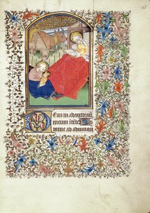
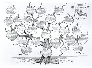
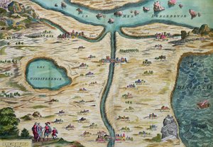
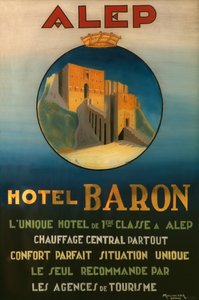
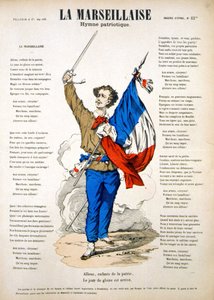
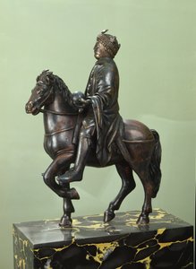
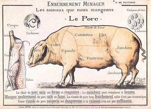
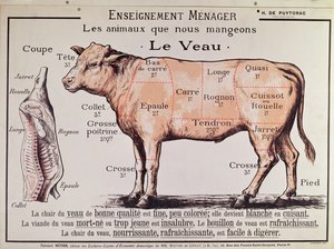
Manuscript 69 f. 48r, Birth of Jesus, from the Book of Hours of the "Master of Jacques de Besançon" Genealogical tree of the Rougon-Macquart family The Carte du Tendre, a map of an imaginary country, from volume II of Beef: diagram depicting the different cuts of meat Poster advertising the Baron Hotel in Aleppo, c. 1920 The Shield of Achilles, after the description in Homer Reproduction of Map of Routes of St. James of Compostela, originally engraved by D. Serveaux 1648 Poster advertising Pur Champagne, from Damery, Épernay Lyrics to «La Marseillaise». Image of Épinal "The Man with Six Heads", caricature of Charles Maurice de Talleyrand-Périgord (1754-1838), 1815 Equestrian statue of Charlemagne (742-814) Samuel Hahnemann (1755 - 1843), discovering homeopathy. Engraving after Pauquet Frédéric Chopin (1810-49) engraved from a daguerreotype Cuts of Pork, illustration from a French Domestic Science Manual by H. de Puytorac, published by Éditions Fernand Nathan, late 19th century Veal: diagram depicting the different cuts of meat
Show more works by French School

More motifs from the category Cartography

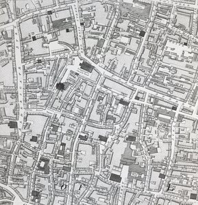
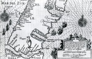
Map of London, from Fol. 34v, Map of Australia, from Map of Essex, 1602-03 Map of Sixteenth Century Europe, from the Map of the Ottoman Empire, from the ‘Atlas Novus’ Map of India, 1865 Fol. 54v Map of Florida, from “Cosmographie Universelle”, 1555 Street map of London around Guildhall, c.1795 Map of the Strait of Magellan, plate from Oliver van Noort Fol. 47v Map of Peru, from A Map of the World, Corrected from the Observations Communicated to the Royal Societies of London and Paris, to the Right Honourable Richard Boyle, 1711 Australia, from a Series of World Maps Published by John Tallis and Co., London and New York, 1850s Map of Paris at the Outbreak of the French Revolution, 1789, published by William Blackwood and Sons, Edinburgh and London, 1848 Map of Lotharingia, from Map of Israel, from A Pisgah-sight of Palestine by Thomas Fuller, 1650
View More from "Cartography"

A selection of our top sellers

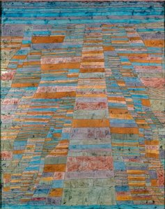
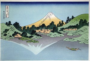
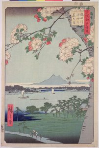
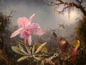
Main and Side Paths The Boulevard Montmartre at Night The Artist Fish Blood Reflection in the Surface of the Water, Misaka, Kai Province from the series Thirty-Six Views of Mt Fuji, 1830-1833 Portrait of the Dancer Aleksandr Sakharov The Parquet Planers Quince, Cabbage, Melon, and Cucumber, c. 1602 Group IX/SUW, No. 1, The Swan, No. 1, 1914-1915 Petra, March 7th 1839, plate 92 from Volume III of „The Holy Land“, engraved by Louis Haghe (1806-85), published 1849 Kanchenjunga, 1936 Suigin Grove and Masaki, on the Sumida River, from Chichester Canal, c.1829 Cattleya Orchid and Three Hummingbirds The Resurrection of Christ, from the right wing of the Isenheim Altarpiece, c.1512-16, detail of 17677
Show more artworks


What our customers think about us


Frequently Asked Questions about Meisterdrucke


Personalizing your art print at Meisterdrucke is simple and intuitive: Choose a frame, set the image size, pick a printing medium, and add suitable glazing or a stretcher frame. We also offer additional customization options like mats, fillets, and spacers. If you have any questions, our customer service team is ready to help you create your perfect artwork.

At Meisterdrucke, you can visualize your configured artwork directly in your own room. Simply upload a photo of your space and see how the artwork looks in it. If you're visiting us on a mobile device — phone or tablet — our augmented reality feature brings the picture to life and projects it right into your room. A unique experience that combines art and technology.

Choosing the right medium is often a matter of personal taste. To give you a better idea, we've provided some images for each medium. We also offer a sample set of all paper variants, so you can decide not just visually but by touch as well. You can order the sample set free of charge — only shipping costs apply.

Don't worry! At Meisterdrucke, we don't just process orders mechanically. Every order is manually reviewed by our team. If we spot any inconsistencies or issues with your configuration, we'll get in touch with you right away. And of course, our friendly and patient support team is always here to help you with your configuration. We'll work with you by phone or email to adjust your image so the final result is exactly what you had in mind.


Still have questions?

Are you interested in an art print from our manufactory but still unsure? Do you need advice on choosing the medium or help with the order?

Our experts are happy to assist you.

+43 4257 29415
support@meisterdrucke.com

Mo-Do: 7:00 - 16:00 | Fr: 7:00 - 13:00

Still have questions?

Are you interested in an art print from our manufactory but still unsure? Do you need advice on choosing the medium or help with the order?

Our experts are happy to assist you.

+43 4257 29415
support@meisterdrucke.com
Mo-Do: 7:00 - 16:00 | Fr: 7:00 - 13:00


Meisterdrucke

   Kärntner Strasse 46
        9586 Finkenstein am Faaker See
        Austria
        +43 4257 29415
        support@meisterdrucke.com
Other languages

                   
Erfahrungen & Bewertungen zu Meisterdrucke
Post.at DHL Express Quehenberger Cargoboard
Kaiser Franz Joseph

Meisterdrucke
Kärntner Strasse 46
9586 Finkenstein am Faaker See · Austria
+43 4257 29415 · support@meisterdrucke.com
Post.at DHL Express Quehenberger Cargoboard


(c) 2026 meisterdrucke.ie