support@meisterdrucke.com  ·  0043 4257 29415

Deutsch English Italiano Español Français Nederlands Português Svenska Polski Dansk
Search by artist, work title or style – e.g. Monet, Starry Night, Impressionism, Hokusai wave, nude. Describe the scene – e.g. green meadow, abstract with lots of red, dark oil painting, standing nude next to a tree.

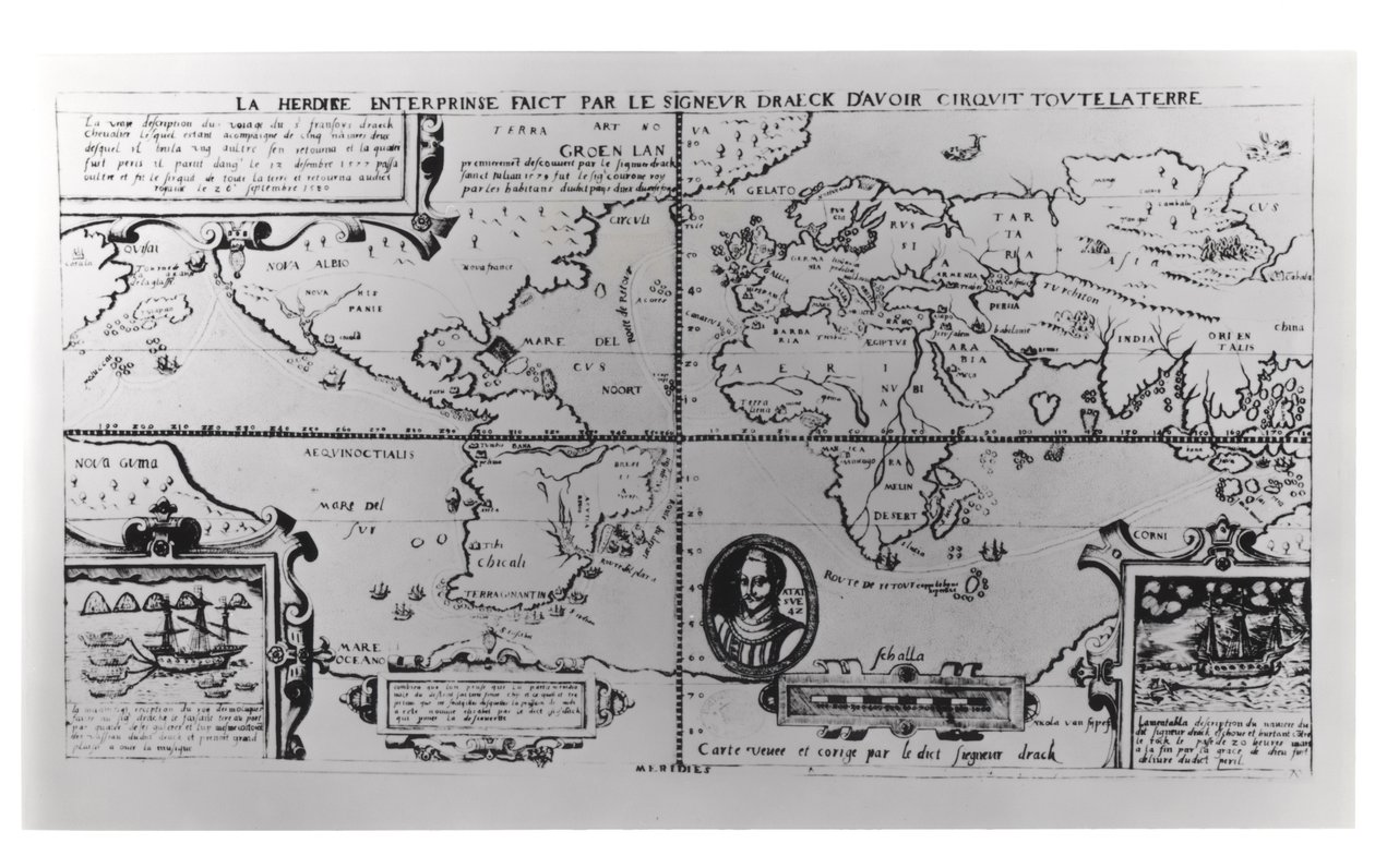
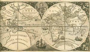
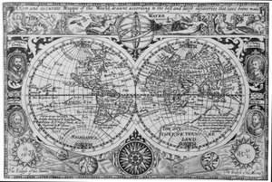
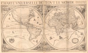
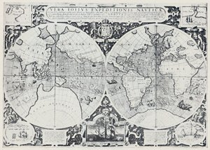
World Map detailing the Expeditions and Global Circumnavigation of Sir Francis Drake (c. 1540-96), 1577-1580 by English School

World Map detailing the Expeditions and Global Circumnavigation of Sir Francis Drake (c. 1540-96), 1577-1580

(World Map detailing the Expeditions and Global Circumnavigation of Sir Francis Drake (c.1540-96) 1577-2580 )


English School

€ 140.94
Includes 13.5% VAT
   Configure art print
Undated  ·  engraving  ·  Image ID: 88442

Cultural Circles  ·  Cartography

World Map detailing the Expeditions and Global Circumnavigation of Sir Francis Drake (c. 1540-96), 1577-1580 by English School. Available as an art print on canvas, photo paper, watercolor board, natural paper, or Japanese paper.
print · portrait · route · Private Collection / Bridgeman Images
AR/3D   View in 3D / AR zu Favoriten hinzufügen   Add to favorites    Change wall color    View picture in a room
0 Reviews

Configure art print

Picture Frame

Medium & Stretcher

Glass & Passepartout

Miscellaneous & Extras

 Save / compare configuration
Preview Icon

Summary

Gemälde
Veredelung
Keilrahmen
Museumslizenz

€ 140.94
(inkl. 20% MwSt)
   Add to cart

Bildschärfe: PERFEKT

If you'd like us to adjust the brightness, colors, or crop the image, we're happy to do this for you at no extra cost. Just get in touch!

Similar artworks selected for you

Map Showing Drake The Heroic Enterprise by Sir Drake to Circumnavigate the Earth, possibly Antwerp, c.1590 Totius Orbis Cogniti Universalis Descriptio, Antwerp Geographic chart of the world after the deluge, 1675 World map; Vera Totius Expeditionis Nauticae, charting the circumnavigation of the globe by (left) Sir Francis Drake (1540-96) and (right) Thomas Cavendish (1560-92), c. 1595 Erythraei Sive Rubri Maris Periplus World map, Totius Orbis cognier universalis descriptio Title page of Americae Pars VIII with a portrait of Francis Drake and his ship, the Golden Hind Moluccas Islands, famous for their abundance of spices distributed worldwide Map of America and Directions to China Early 17th Century Map of the World, After Mercator, with Inset Portraits of Explorers (Drake, Magellan, Thomas Cavendish and Oliver van der Nort), the Elements, and Eclipses Europe, from Typus Orbis Terrarum, World Map, 1577 Nova Totius Terrarum Orbis Geographica Ac Hydrographica Tabula A New and Accurate Plan of the City and Harbour of Cartagena, Showing the Descent of That Place by the British Fleet and Land Forces, Under the Command of the Admirals Vernon and Ogle and General Wentworth in March & April 1741 Map of Part of the Western Coast of Celebes Map of the New World 1587 1774 map of the Black Sea with adjacent parts of the Turkish and Russian Empires Map from the National Library Relief Shown Pictorially Valloton A General Map, from Map of New France dedicated to Colbert by Duchesneau, Intendant, 1681 Map of Bas Poitou, Pays d The Republic of Genoa, Map by Jan Baptist Vrients from Theatrum Orbis Terrarum by Abraham Ortelius Map showing the route of the Armada fleet, engraved by Augustine Ryther, 1588 Asia Maior, from Nova Francia (New France) Relief shown pictorially. Includes notes. Illustrations include images of the Garden of Eden and the Last Judgment and four allegorical figures in the corners of the sheet. Assembled from 4 sheets. LC copy in two sheets, mounted together on cloth. Fold lin
Show more similar artworks

More art prints by English School

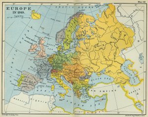
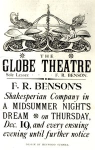
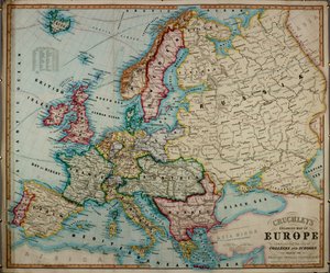
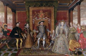
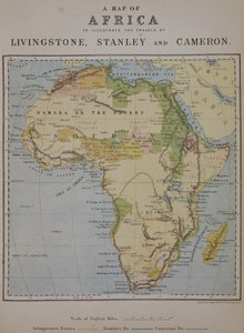
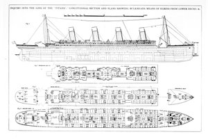
Church and Cottage with Lighted Windows Portrait of a bodybuilder, c. 1898 The Portrait of King Richard III Kidbrooke Park, Kent, formerly attributed to George Lambert (1700-65) c.1740-50 Map of Europe in 1910 Portrait of the Greek philosopher Socrates (469-399 BC) - From the series “Leaders of Men” - Chromolithography - English School, 20th century Detailed Map of Gallipoli Peninsula and the Dardanelles, Turkey, 1915, from Romeo buys poison from the apothecary, illustration from Romeo and Juliet, from "The Illustrated Library Shakespeare", published in London 1890 Map of the world with possessions of the British Empire coloured red, c. 1870 Poster advertising ‘A Midsummer Night A 19th century coloured map of Europe, compiled for use in colleges and schools. An Allegory of the Tudor Succession: The Family of Henry VIII, c. 1589-95 A Map of Africa to Illustrate the Travels of David Livingstone (1813-73), Henry Morton Stanley (1841-1904) and Verney Lovett Cameron (1844-94) Inquiry into the Loss of the Titanic: Cross sections of the ship
Show more works by English School

More motifs from the category Cartography

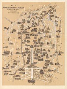
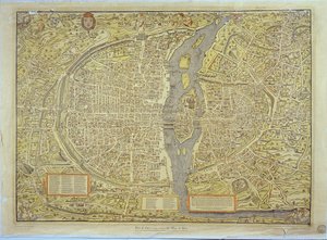
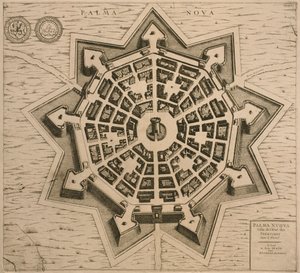
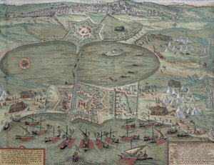
Map of the World, Based on Descriptions and Coordinates Given in “Geographia”, by Ptolemy (Claudius Ptolemaeus of Alexandria) (c. 90-168 AD) Map of the West Indies, Florida and South America Map of Asia, published in 1700, Paris A General Map, from Map of Berlin, published by Carl Glück Verlag, Berlin, 1860 Reproduction of the Basel Map of Paris, originally produced in 1552-59 Map of the Coast of New England, Observed and Described by Captain John Smith (1580-1631), 1614, from Kankou Mousa, King of Mali, from the Map of Charles V, Map of Mecia de Viladestes, a portolan of Europe and North Africa, 1413 Fol. 31v Map of Australia and Magellan Island from “Cosmographie Universelle”, 1555 Plan and Map of the Town and Citadel of Mont-Louis The Holy Land, from an Atlas of the World in 33 Maps, Venice, 1st September 1553 Map of Palmanova, from Les Villes de Venetie, 1704, published by Rutgert Alberts in The Hague Map of Venice, by Sebastian Münster (1488-1552), published in Basel, c. 1560 Map of Tunis, from An inciting map of the Turbid Amazon, illustration from
View More from "Cartography"

A selection of our top sellers

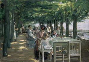
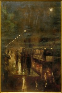
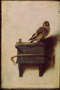
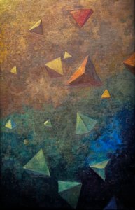
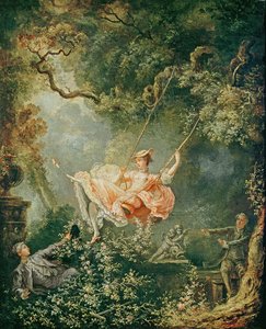
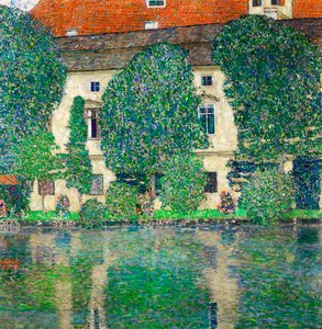
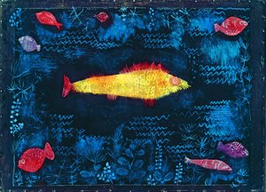
Self-Portrait in a Fur Coat The Terrace at the Restaurant Jacob in Nienstedten on the Elbe Nocturnal Berlin (Nollendorfplatz) Time for a Bath, Valencia Strolling along the Seashore, 1909 Flower Still Life on a Marble Ledge, 1800-01 The Goldfinch (The Thistle Finch, The European Goldfinch) Tetrahedra, c.1910 The Swing The Butterfly Hunter Schloss Kammer on Lake Attersee III, 1910 The Lady of Shalott The Goldfish Attersee Seated Woman with Raised Knee
Show more artworks


What our customers think about us


Frequently Asked Questions about Meisterdrucke


Personalizing your art print at Meisterdrucke is simple and intuitive: Choose a frame, set the image size, pick a printing medium, and add suitable glazing or a stretcher frame. We also offer additional customization options like mats, fillets, and spacers. If you have any questions, our customer service team is ready to help you create your perfect artwork.

At Meisterdrucke, you can visualize your configured artwork directly in your own room. Simply upload a photo of your space and see how the artwork looks in it. If you're visiting us on a mobile device — phone or tablet — our augmented reality feature brings the picture to life and projects it right into your room. A unique experience that combines art and technology.

Choosing the right medium is often a matter of personal taste. To give you a better idea, we've provided some images for each medium. We also offer a sample set of all paper variants, so you can decide not just visually but by touch as well. You can order the sample set free of charge — only shipping costs apply.

Don't worry! At Meisterdrucke, we don't just process orders mechanically. Every order is manually reviewed by our team. If we spot any inconsistencies or issues with your configuration, we'll get in touch with you right away. And of course, our friendly and patient support team is always here to help you with your configuration. We'll work with you by phone or email to adjust your image so the final result is exactly what you had in mind.


Still have questions?

Are you interested in an art print from our manufactory but still unsure? Do you need advice on choosing the medium or help with the order?

Our experts are happy to assist you.

+43 4257 29415
support@meisterdrucke.com

Mo-Do: 7:00 - 16:00 | Fr: 7:00 - 13:00

Still have questions?

Are you interested in an art print from our manufactory but still unsure? Do you need advice on choosing the medium or help with the order?

Our experts are happy to assist you.

+43 4257 29415
support@meisterdrucke.com
Mo-Do: 7:00 - 16:00 | Fr: 7:00 - 13:00


Meisterdrucke

   Kärntner Strasse 46
        9586 Finkenstein am Faaker See
        Austria
        +43 4257 29415
        support@meisterdrucke.com
Other languages

                   
Erfahrungen & Bewertungen zu Meisterdrucke
Post.at DHL Express Quehenberger Cargoboard
Kaiser Franz Joseph

Meisterdrucke
Kärntner Strasse 46
9586 Finkenstein am Faaker See · Austria
+43 4257 29415 · support@meisterdrucke.com
Post.at DHL Express Quehenberger Cargoboard


(c) 2026 meisterdrucke.ie