support@meisterdrucke.com  ·  0043 4257 29415

Deutsch English Italiano Español Français Nederlands Português Svenska Polski Dansk
Search by artist, work title or style – e.g. Monet, Starry Night, Impressionism, Hokusai wave, nude. Describe the scene – e.g. green meadow, abstract with lots of red, dark oil painting, standing nude next to a tree.

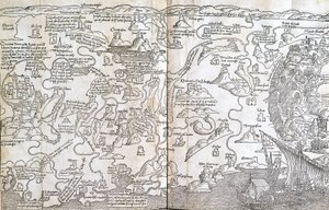
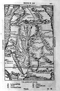
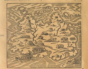
A map showing the journey of the Israelites out of Egypt and into Canaan, facsimile of an image from the Geneva Bible of 1560 by English School

A map showing the journey of the Israelites out of Egypt and into Canaan, facsimile of an image from the Geneva Bible of 1560

(A map showing the journey of the Israelites out of Egypt and into Canaan, facsimile of an image from the Geneva Bible of 1560 )


English School

€ 131.74
Includes 13.5% VAT
   Configure art print
Undated  ·  engraving  ·  Image ID: 58202

Cultural Circles  ·  Cartography

A map showing the journey of the Israelites out of Egypt and into Canaan, facsimile of an image from the Geneva Bible of 1560 by English School. Available as an art print on canvas, photo paper, watercolor board, natural paper, or Japanese paper.
Private Collection / Bridgeman Images
AR/3D   View in 3D / AR zu Favoriten hinzufügen   Add to favorites    Change wall color    View picture in a room
0 Reviews

Configure art print

Picture Frame

Medium & Stretcher

Glass & Passepartout

Miscellaneous & Extras

 Save / compare configuration
Preview Icon

Summary

Gemälde
Veredelung
Keilrahmen
Museumslizenz

€ 131.74
(inkl. 20% MwSt)
   Add to cart

Bildschärfe: PERFEKT

If you'd like us to adjust the brightness, colors, or crop the image, we're happy to do this for you at no extra cost. Just get in touch!

Similar artworks selected for you

Map of Trinity Island in the Antilles from Universal Cosmography Siege of Algiers by Charles V in 1541 Trinity Island, engraving from Universal Cosmology Map of Israel, from A Pisgah-sight of Palestine by Thomas Fuller, 1650 Malta Besieged by the Infidel (from Map of Palestine - in The Spanish Attempt to Capture Algiers, 1541 A Map of New-England, from The Haven of Brindisi, illustration to The terrestrial paradise, 1675 Mountainous Region of Sinai, engraving Map of the Tribe of Asher, 1590 Map of Chile Compiled by Jesuits Map including Massachusetts Bay Map of the Island of Zante, a Venetian Stronghold Against the Turks Map of Virginia, illustration from Cassell The capture of the Fort of Villegagnon The Mount of Olives, Jerusalem, from Itinerarium Hierosolymitanum, by J. Cotovico, 1619 Map of the City of Jerusalem, from Map of the Island of Utopia, Book frontispiece The Course of the Nile - in View from the North of the Aztec City of Tenochtitlan, from Relatione della Citta del Temistitan by Giovanni Battista Ramusio, Published in Venice 1606 View of Mount Sibille (Paradise of Queen Sybille) - Antoine de La Sale Map of the Island of Utopia, Book frontispiece, 1563 The French Expedition Lands in Port Royal, Florida Connecticut A Map of the Country and City of Panama. Part. 3 : Chap : 5. (engraving) The Map of New England from William Hubbard Map of Mexico, illustration from
Show more similar artworks

More art prints by English School

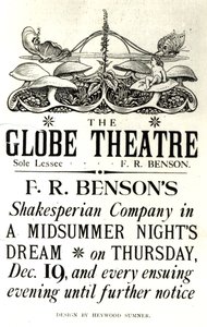
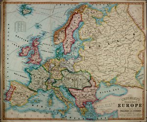
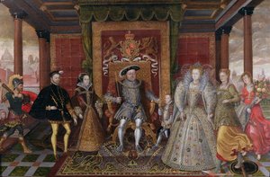
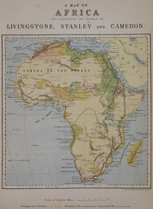
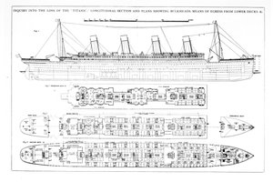
Church and Cottage with Lighted Windows Portrait of a bodybuilder, c. 1898 The Portrait of King Richard III Kidbrooke Park, Kent, formerly attributed to George Lambert (1700-65) c.1740-50 Map of Europe in 1910 Portrait of the Greek philosopher Socrates (469-399 BC) - From the series “Leaders of Men” - Chromolithography - English School, 20th century Detailed Map of Gallipoli Peninsula and the Dardanelles, Turkey, 1915, from Romeo buys poison from the apothecary, illustration from Romeo and Juliet, from "The Illustrated Library Shakespeare", published in London 1890 Map of the world with possessions of the British Empire coloured red, c. 1870 Poster advertising ‘A Midsummer Night A 19th century coloured map of Europe, compiled for use in colleges and schools. An Allegory of the Tudor Succession: The Family of Henry VIII, c. 1589-95 A Map of Africa to Illustrate the Travels of David Livingstone (1813-73), Henry Morton Stanley (1841-1904) and Verney Lovett Cameron (1844-94) Inquiry into the Loss of the Titanic: Cross sections of the ship
Show more works by English School

More motifs from the category Cartography

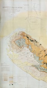
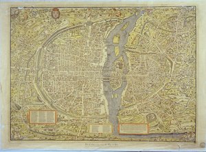
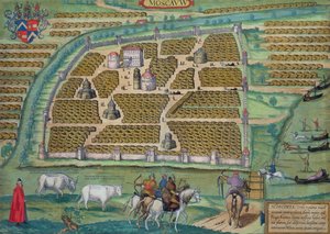
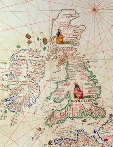
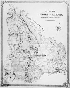
Fol. 31v Map of Australia and Magellan Island from “Cosmographie Universelle”, 1555 Map showing the principal stars which are visible in Great Britain, Plate XXIX, from Geological Map of the Kutch Region of India, Geological Survey of India 1868-69 Map of Toledo, from Civitates Orbis Terrarum by Georg Braun (1541-1622) and Frans Hogenberg (1535-90), 1566 Map of New York, from an Atlas of the United States, 1824 Map of France depicting the departmental divisions, 1798 Map of Amsterdam, from Map of Civil War England and a View of Prague, 1632 Reproduction of the Basel Map of Paris, originally produced in 1552-59 Map of Genoa and Florence, from Map of Moscow, from Civitates Orbis Terrarum by Georg Braun (1541-1622) and Frans Hogenberg (1535-90), c. 1572, coloured engraving The Kingdoms of England and Scotland, from an Atlas of the World in 33 Maps, Venice, 1st September 1553 (detail from 330949) Fol. 5v Map of Great Britain, Europe and North West Africa, from Portugaliae Monumenta Cartographica, an account of the discoveries of Fernão Gomes from 1470-75, 1563 Map of the Parish of Hackney, surveyed by John Rocque (c.1709-1762) 1745 World map of the different time zones, published by Blondel La Rougery in Paris c.1920
View More from "Cartography"

A selection of our top sellers

Forest of Fontainebleau Aerial Life Woman Artist - Marcella Waterlilies, Evening Portrait of a Woman, 1909 Blooming Poppies Yellow - Red - Blue Birth of Venus Tahiti: Tahitian Landscape, Paul Gauguin (1893) Birch tree Schloss Kammer on Lake Attersee III, 1910 Beat the Whites with the Red Wedge, Poster, 1920 Girl with a Pearl Earring The Terrace at Sainte-Adresse 1840-1926. Suigin Grove and Masaki, on the Sumida River, from
Show more artworks


What our customers think about us


Frequently Asked Questions about Meisterdrucke


Personalizing your art print at Meisterdrucke is simple and intuitive: Choose a frame, set the image size, pick a printing medium, and add suitable glazing or a stretcher frame. We also offer additional customization options like mats, fillets, and spacers. If you have any questions, our customer service team is ready to help you create your perfect artwork.

At Meisterdrucke, you can visualize your configured artwork directly in your own room. Simply upload a photo of your space and see how the artwork looks in it. If you're visiting us on a mobile device — phone or tablet — our augmented reality feature brings the picture to life and projects it right into your room. A unique experience that combines art and technology.

Choosing the right medium is often a matter of personal taste. To give you a better idea, we've provided some images for each medium. We also offer a sample set of all paper variants, so you can decide not just visually but by touch as well. You can order the sample set free of charge — only shipping costs apply.

Don't worry! At Meisterdrucke, we don't just process orders mechanically. Every order is manually reviewed by our team. If we spot any inconsistencies or issues with your configuration, we'll get in touch with you right away. And of course, our friendly and patient support team is always here to help you with your configuration. We'll work with you by phone or email to adjust your image so the final result is exactly what you had in mind.


Still have questions?

Are you interested in an art print from our manufactory but still unsure? Do you need advice on choosing the medium or help with the order?

Our experts are happy to assist you.

+43 4257 29415
support@meisterdrucke.com

Mo-Do: 7:00 - 16:00 | Fr: 7:00 - 13:00

Still have questions?

Are you interested in an art print from our manufactory but still unsure? Do you need advice on choosing the medium or help with the order?

Our experts are happy to assist you.

+43 4257 29415
support@meisterdrucke.com
Mo-Do: 7:00 - 16:00 | Fr: 7:00 - 13:00


Meisterdrucke

   Kärntner Strasse 46
        9586 Finkenstein am Faaker See
        Austria
        +43 4257 29415
        support@meisterdrucke.com
Other languages

                   
Erfahrungen & Bewertungen zu Meisterdrucke
Post.at DHL Express Quehenberger Cargoboard
Kaiser Franz Joseph

Meisterdrucke
Kärntner Strasse 46
9586 Finkenstein am Faaker See · Austria
+43 4257 29415 · support@meisterdrucke.com
Post.at DHL Express Quehenberger Cargoboard


(c) 2026 meisterdrucke.ie