support@meisterdrucke.com  ·  0043 4257 29415

Deutsch English Italiano Español Français Nederlands Português Svenska Polski Dansk
Search by artist, work title or style – e.g. Monet, Starry Night, Impressionism, Hokusai wave, nude. Describe the scene – e.g. green meadow, abstract with lots of red, dark oil painting, standing nude next to a tree.

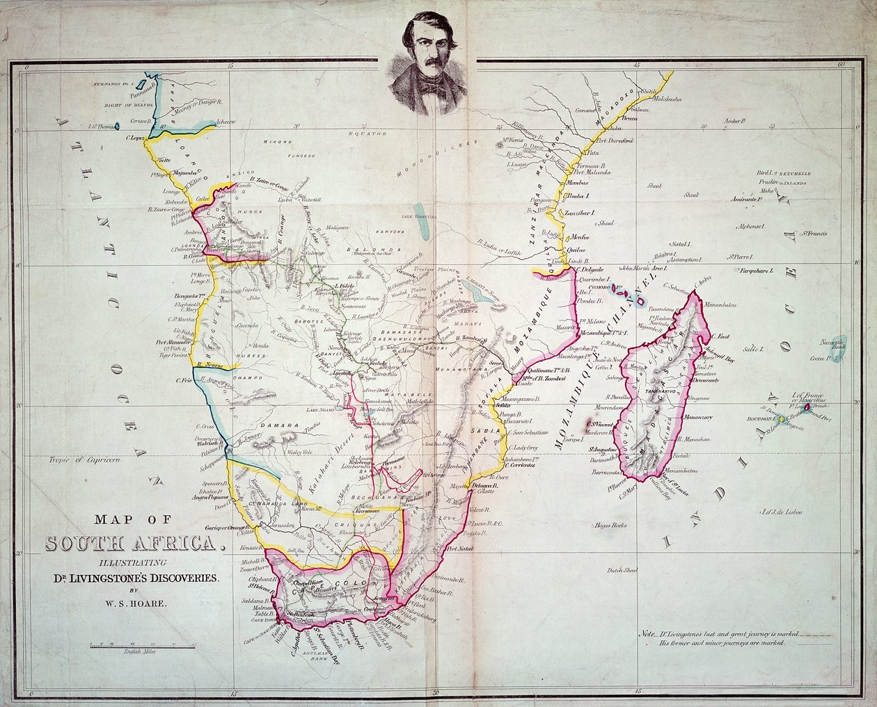
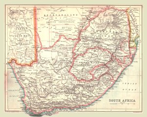
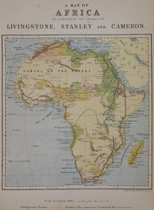
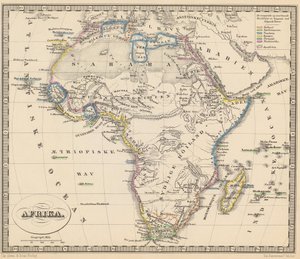
Map of South Africa Illustrating Dr. Livingstone

Map of South Africa Illustrating Dr. Livingstone's Discoveries

(Map of South Africa illustrating Dr. Livingstone's discoveries )


English School

€ 136.39
Includes 13.5% VAT
   Configure art print
Undated  ·  colour lithograph  ·  Image ID: 115827

Cultural Circles  ·  Cartography

Map of South Africa Illustrating Dr. Livingstone's Discoveries by English School. Available as an art print on canvas, photo paper, watercolor board, natural paper, or Japanese paper.
cartography · geographical · mapping · african · southern africa · portrait · male · travel · routes · journeys · male · journey · cape of good hope · geography · victorian · journey · Private Collection / Bridgeman Images
AR/3D   View in 3D / AR zu Favoriten hinzufügen   Add to favorites    Change wall color    View picture in a room
0 Reviews

Configure art print

Picture Frame

Medium & Stretcher

Glass & Passepartout

Miscellaneous & Extras

 Save / compare configuration
Preview Icon

Summary

Gemälde
Veredelung
Keilrahmen
Museumslizenz

€ 136.39
(inkl. 20% MwSt)
   Add to cart

Bildschärfe: PERFEKT

If you'd like us to adjust the brightness, colors, or crop the image, we're happy to do this for you at no extra cost. Just get in touch!

Similar artworks selected for you

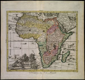
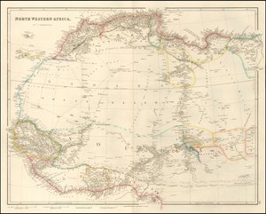
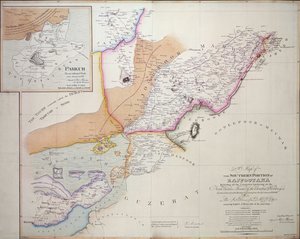
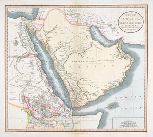
Illustration from the book Atlas of All Parts of the Earth by unknown author and published by Chr. Steen & Søn (Copenhagen, 1857) Map of South Southern Africa Map of Africa A New Chart of New Holland with New South Wales and a Plan for Botany Bay Map of Africa Overland Route to India Map of India, 1857 Map of Africa showing its most recent discoveries with the Island of St. Helena inset from Mitchell Map of Western India, 1816 Nouae Africae delineatio Map of North Western Africa by John Arrowsmith The Southern Portion of Rajpootana, 1820 A New Map of Arabia, Including Egypt, Abyssinia, the Red Sea, etc. Map of India, published by William Blackwood and Sons, Edinburgh and London, 1848 Countries between Egypt and Canaan Map of Africa Map of Kutch and Runn, India, 1854 A New Map of Mexico and Adjacent Provinces Map of South Africa Historical Atlas of Mesopotamia. Babylonia, Syria and Assyria. End of 18th century Outlines of the Physical and Political Divisions of South America Bacon’s Large-Scale Map of the Transvaal Orange Free State and Natal with extension south to Port Elizabeth, South Africa Map of Aegyptus Antiqua (Ancient Egypt), drawn and engraved by Sydney Hall, c. 1826 Congo (South Africa) Map of Africa after the signing of the Anglo-French Agreement of March 1899 (colour litho) Illustration for Le Petit Journal, 9 April 1899 (engraving) Wyld Africa, from Modern Geography, c.1725 Australia, from a Series of World Maps Published by John Tallis and Co., London and New York, 1850s The Wells Missionary Map Co., 3612 Prairie Avenue, Chicago
Show more similar artworks

More art prints by English School

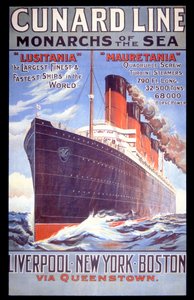
Church and Cottage with Lighted Windows Portrait of a bodybuilder, c. 1898 The Portrait of King Richard III Kidbrooke Park, Kent, formerly attributed to George Lambert (1700-65) c.1740-50 Map of Europe in 1910 Portrait of the Greek philosopher Socrates (469-399 BC) - From the series “Leaders of Men” - Chromolithography - English School, 20th century Detailed Map of Gallipoli Peninsula and the Dardanelles, Turkey, 1915, from Romeo buys poison from the apothecary, illustration from Romeo and Juliet, from "The Illustrated Library Shakespeare", published in London 1890 Poster advertising ‘A Midsummer Night Map of the world with possessions of the British Empire coloured red, c. 1870 A 19th century coloured map of Europe, compiled for use in colleges and schools. A Map of Africa to Illustrate the Travels of David Livingstone (1813-73), Henry Morton Stanley (1841-1904) and Verney Lovett Cameron (1844-94) An Allegory of the Tudor Succession: The Family of Henry VIII, c. 1589-95 ‘Cunard Line - Monarchs of the Sea’, poster for the Lusitania and Mauretania
Show more works by English School

More motifs from the category Cartography

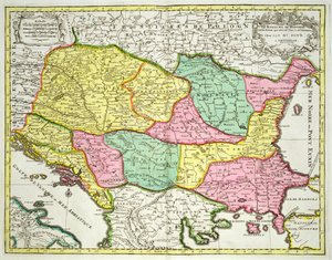
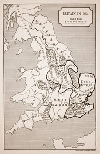
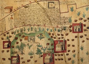
World map of the different time zones, published by Blondel La Rougery in Paris c.1920 Map of the Kingdom of Hungary and the States which are United to its Crown, pub. by Jan Barend Elwe, Amsterdam, 1742 Map of Africa, engraved by Guillaume Delahaye Map of Tartary Map of France, Spain and North-West Africa, from the Map of Asia, Tartaria, Japan, the Philippines and the East Indies, engraved by G. van Gouwen, c. 1690 Map of Britain in 593, printed by Stanfords Geographical Establishment Map of the Ottoman Empire, from the ‘Atlas Novus’ Renaissance map of Europe, Jacopo Russo (after), 1528 Map of Civil War England and a View of Prague, 1632 Copy of The Map of Mockbeggar Hall, with his situation in the spacious country called anywhere, c.1633, from the Ballad of Roxborough Map of India, published under the direction of Colonel H.R. Thuillier, R.E., Surveyor General of India, 1882 A Map of the North Pole Ayer MS 1801 Map 1: Map of lands in the Tultepec and Jaltocan regions adjacent to the Hacienda de Santa Ines, Mexico, published 1569 Map of Africa, from Nova Africa Descriptio, published in Amsterdam in the 1660s by Dutch cartographer Frederik de Wit
View More from "Cartography"

A selection of our top sellers

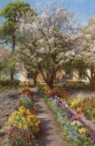
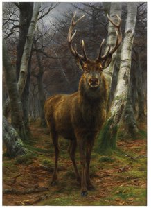
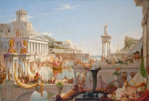
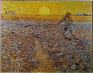
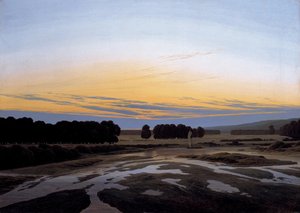
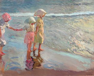
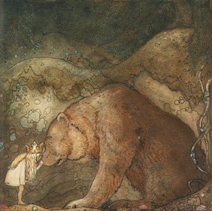
Flowering Garden in Spring The Lament for Icarus Asakusa Rice Fields During the Festival of the Cock, c.1857 King of the Forest, 1878 The Course of Empire. The Consummation of Empire, 1836 Sower at Sunset The Grosse Gehege near Dresden, 1832 Spring, maiden gathering flowers, from the villa of Varano in Stabiae, c. 15 BC-60 AD Wandering Shadows The three sisters on the beach, 1908 Sheerness as seen from the Nore Poor Little Bear!, 1912 Lady in Yellow, 1899 The Sistine Madonna The Monk by the Sea, 1808-1810
Show more artworks


What our customers think about us


Frequently Asked Questions about Meisterdrucke


Personalizing your art print at Meisterdrucke is simple and intuitive: Choose a frame, set the image size, pick a printing medium, and add suitable glazing or a stretcher frame. We also offer additional customization options like mats, fillets, and spacers. If you have any questions, our customer service team is ready to help you create your perfect artwork.

At Meisterdrucke, you can visualize your configured artwork directly in your own room. Simply upload a photo of your space and see how the artwork looks in it. If you're visiting us on a mobile device — phone or tablet — our augmented reality feature brings the picture to life and projects it right into your room. A unique experience that combines art and technology.

Choosing the right medium is often a matter of personal taste. To give you a better idea, we've provided some images for each medium. We also offer a sample set of all paper variants, so you can decide not just visually but by touch as well. You can order the sample set free of charge — only shipping costs apply.

Don't worry! At Meisterdrucke, we don't just process orders mechanically. Every order is manually reviewed by our team. If we spot any inconsistencies or issues with your configuration, we'll get in touch with you right away. And of course, our friendly and patient support team is always here to help you with your configuration. We'll work with you by phone or email to adjust your image so the final result is exactly what you had in mind.


Still have questions?

Are you interested in an art print from our manufactory but still unsure? Do you need advice on choosing the medium or help with the order?

Our experts are happy to assist you.

+43 4257 29415
support@meisterdrucke.com

Mo-Do: 7:00 - 16:00 | Fr: 7:00 - 13:00

Still have questions?

Are you interested in an art print from our manufactory but still unsure? Do you need advice on choosing the medium or help with the order?

Our experts are happy to assist you.

+43 4257 29415
support@meisterdrucke.com
Mo-Do: 7:00 - 16:00 | Fr: 7:00 - 13:00


Meisterdrucke

   Kärntner Strasse 46
        9586 Finkenstein am Faaker See
        Austria
        +43 4257 29415
        support@meisterdrucke.com
Other languages

                   
Erfahrungen & Bewertungen zu Meisterdrucke
Post.at DHL Express Quehenberger Cargoboard
Kaiser Franz Joseph

Meisterdrucke
Kärntner Strasse 46
9586 Finkenstein am Faaker See · Austria
+43 4257 29415 · support@meisterdrucke.com
Post.at DHL Express Quehenberger Cargoboard


(c) 2026 meisterdrucke.ie