support@meisterdrucke.com  ·  0043 4257 29415

Deutsch English Italiano Español Français Nederlands Português Svenska Polski Dansk
Search by artist, work title or style – e.g. Monet, Starry Night, Impressionism, Hokusai wave, nude. Describe the scene – e.g. green meadow, abstract with lots of red, dark oil painting, standing nude next to a tree.

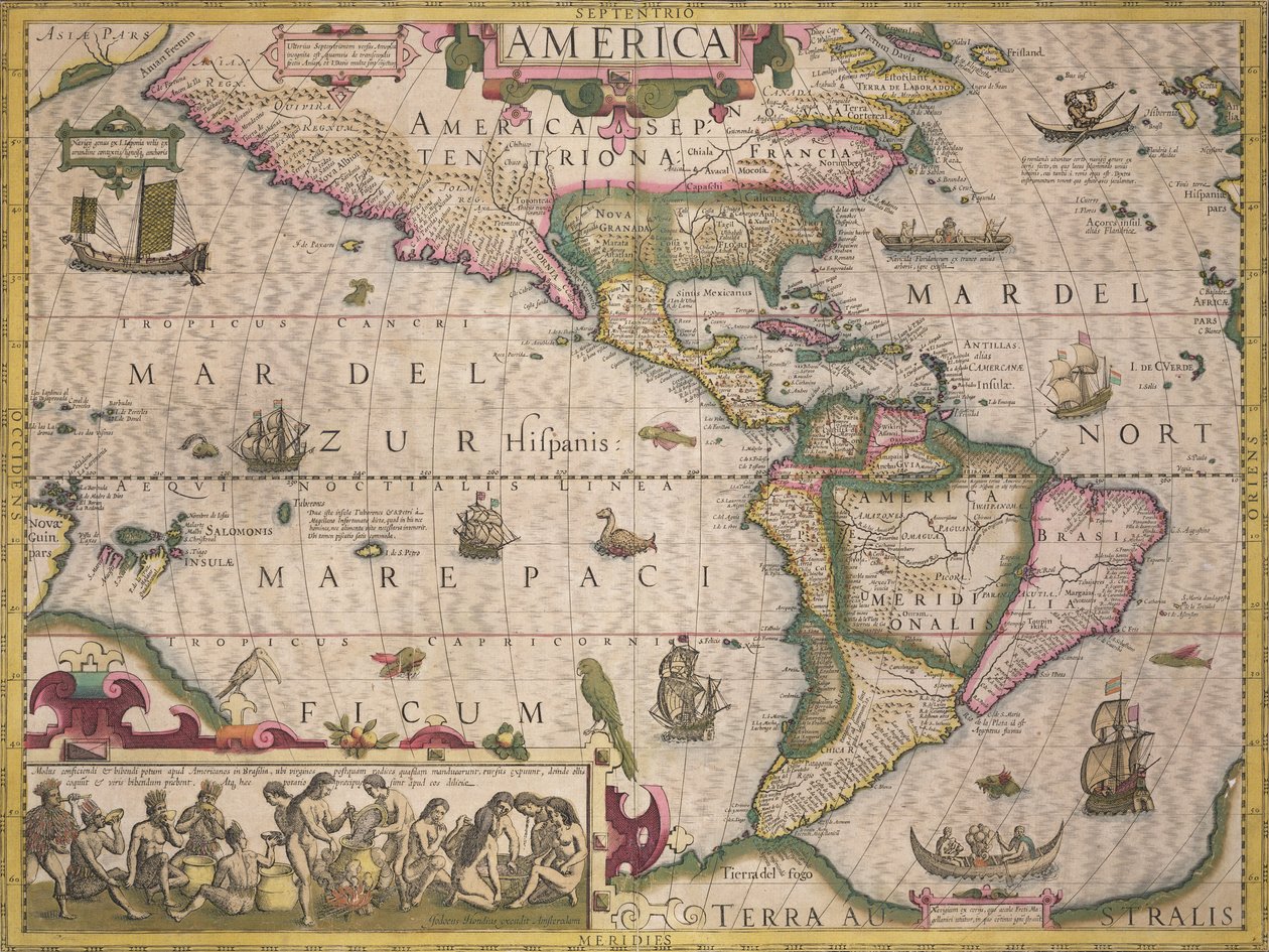
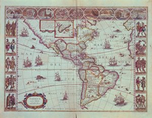
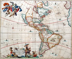
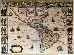
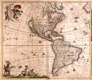
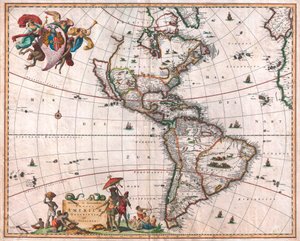
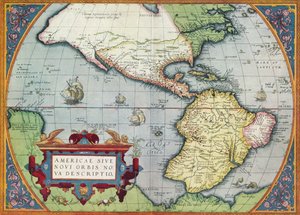
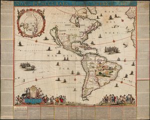
Map of America, from the Mercator Atlas, published by Jodocus Hondius (1563-1612), Amsterdam, 1606 by Dutch School

Map of America, from the Mercator Atlas, published by Jodocus Hondius (1563-1612), Amsterdam, 1606

(Map of America, from the Mercator Atlas, pub. by Jodocus Hondius (1563-1612), Amsterdam, 1606 )


Dutch School

€ 144.19
Includes 13.5% VAT
   Configure art print
1606  ·  coloured engraving  ·  Image ID: 416674

Cultural Circles  ·  Cartography

Map of America, from the Mercator Atlas, published by Jodocus Hondius (1563-1612), Amsterdam, 1606 by Dutch School. Available as an art print on canvas, photo paper, watercolor board, natural paper, or Japanese paper.
ship · boat · sea monster · natives · native american · americans · making liquor · canoe · parrot · south · Private Collection / Bridgeman Images
AR/3D   View in 3D / AR zu Favoriten hinzufügen   Add to favorites    Change wall color    View picture in a room
0 Reviews

Configure art print

Picture Frame

Medium & Stretcher

Glass & Passepartout

Miscellaneous & Extras

 Save / compare configuration
Preview Icon

Summary

Gemälde
Veredelung
Keilrahmen
Museumslizenz

€ 144.19
(inkl. 20% MwSt)
   Add to cart

Bildschärfe: PERFEKT

If you'd like us to adjust the brightness, colors, or crop the image, we're happy to do this for you at no extra cost. Just get in touch!

Similar artworks selected for you

New and Accurate Map of America Ortelius’s map of The New World America, Plate 84, from Map of the Western Hemisphere in 1626 A Map of America, 1612 Map of the Americas, 1631 Map of “Asia” (The Americas), La Cosmographie Universelle d The Americas or the New World, Newly Described Plate depicting the map of Southern America The Americas Sheet from Blaeu Geographic map of America. In Le theatre du monde ou le nouvel atlas Amsterdam produced by Willem Janszoon Blaeu (1571-1638) Chart of the Americas, c.1671 Map of America Map of South America The Pacific Ocean America The Caribbean Sea: Gulf of Mexico and Caribbean Sea from the Atlas of Wilhelm Blaeu Novissima et Accuratissima Totius Americae Descriptio per N. Visscher, 1648 Map of America - Corrected and Enlarged The Visscher Map of the New World Map of Americas and Pacific, from Novissima et Totius Americae Accurate Descriptio Map of the Americas, 1744 The Caribbean Sea: you can see the Bermuda Triangle between the Bermuda Archipelago, Miami and Puerto Rico. According to Willem Blaeu America America, or the New World: From the Theatrum Orbis Terrarum by Abraham Ortelius, 1570, 1570, 19 Map of Central America Map of the Pacific, China and America, 1589, by Abrahamus Ortelius (1527-98) Maris Pacifici
Show more similar artworks

More art prints by Dutch School

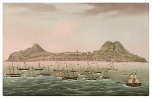
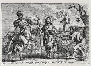
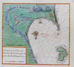
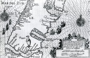
Map of New Holland, now Australia, and of New Zealand, drawn from information collected during trips undertaken by Abel Janszoon Tasman (1603-1659) and Willem Janszoon (1570-1630) Stellatum Planisphaerium, a planisphere with signs of the Zodiac Martin Luther Preaching, detail from the altarpiece of the Church of Torslunde Terrarum Orbis Tabula, after G. a Schagen. Published c. 1689 Plaque with a Chinoiserie Landscape and Gilt Details, c. 1680 A Dodo Sint Eustatius in the Dutch Antilles, with West Indiamen massed in the road off Oranjestad Rock the Brazilian Caricature of Luther, Calvin and Menno Simons disputing Christ and his teaching Map of the Cape of Good Hope. Table Bay, South Africa. Map of the Magellan Straits, Patagonia Miracle of Our Lady of Nazaré. Our Lady of Nazaré Church (Largo Nossa Senhora da Nazaré). Portugal. Compass Rose, from a Blue Atlas, published in Amsterdam, 1697 Map of the Strait of Magellan, plate from Oliver van Noort King Alvaro I of Kongo receiving the Dutch ambassadors, an illustration from the
Show more works by Dutch School

More motifs from the category Cartography

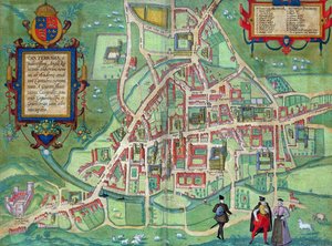
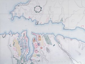
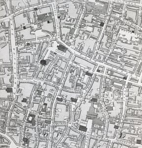
Feudal France at the time of the accession of Hugues Capet in 987, map illustrated in a Histoire de France, c. 1880 Map of Hamburg showing its first Opera House, 1690 Plan and map of the town and citadel of Mont-Louis, 1776 Detail of the Île de la Cité, from the map of Paris c. 1540, known as the Plan de la Tapisserie, made as a tapestry c. 1570, 1818 colour engraving Map of the World, 1780 Map of London, from “Civitates Orbis Terrarum”, by Georg Braun (1542-1622) and Frans Hogenburg (1635-90), c. 1572 Map of Florida, c. 1584 Map of Cambridge, from Map of Valencia, from ’Civitates Orbis Terrarum’ by Georg Braun (1541-1622) and Frans Hogenberg (1535-90) c.1572-1617 Map of the Southern Hemisphere, from “The Celestial Atlas, or The Harmony of the Universe” (Atlas coelestis seu harmonia macrocosmica), published by Joannes Janssonius, Amsterdam, 1660-61, hand-coloured engraving Map of the West Indies, Florida and South America Map of Sevastopol, 1854 Map of the Siege of Mantua, published by William Blackwood and Sons, Edinburgh and London, 1848 Sketch map of Africa, from Street Map of London around Guildhall, c. 1795
View More from "Cartography"

A selection of our top sellers

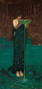
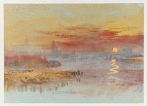
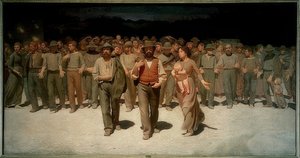
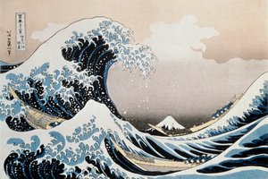
Poppy Field, 1907 Sadko Circe Invidiosa, 1892 The River of Light White-Bear-King-Valemon, 1912 One of the Family The Heart of the Andes The Scarlet Sunset The Fourth Estate (Il Quarto Stato), 1898-1901 The Taking of Christ The Great Wave off the Coast of Kanagawa, c. 1829-c. 1831 Keelmen Heaving in Coals by Moonlight View from a Window, 1988 Hypnosis Nude Woman in Bed, c. 1914
Show more artworks


What our customers think about us


Frequently Asked Questions about Meisterdrucke


Personalizing your art print at Meisterdrucke is simple and intuitive: Choose a frame, set the image size, pick a printing medium, and add suitable glazing or a stretcher frame. We also offer additional customization options like mats, fillets, and spacers. If you have any questions, our customer service team is ready to help you create your perfect artwork.

At Meisterdrucke, you can visualize your configured artwork directly in your own room. Simply upload a photo of your space and see how the artwork looks in it. If you're visiting us on a mobile device — phone or tablet — our augmented reality feature brings the picture to life and projects it right into your room. A unique experience that combines art and technology.

Choosing the right medium is often a matter of personal taste. To give you a better idea, we've provided some images for each medium. We also offer a sample set of all paper variants, so you can decide not just visually but by touch as well. You can order the sample set free of charge — only shipping costs apply.

Don't worry! At Meisterdrucke, we don't just process orders mechanically. Every order is manually reviewed by our team. If we spot any inconsistencies or issues with your configuration, we'll get in touch with you right away. And of course, our friendly and patient support team is always here to help you with your configuration. We'll work with you by phone or email to adjust your image so the final result is exactly what you had in mind.


Still have questions?

Are you interested in an art print from our manufactory but still unsure? Do you need advice on choosing the medium or help with the order?

Our experts are happy to assist you.

+43 4257 29415
support@meisterdrucke.com

Mo-Do: 7:00 - 16:00 | Fr: 7:00 - 13:00

Still have questions?

Are you interested in an art print from our manufactory but still unsure? Do you need advice on choosing the medium or help with the order?

Our experts are happy to assist you.

+43 4257 29415
support@meisterdrucke.com
Mo-Do: 7:00 - 16:00 | Fr: 7:00 - 13:00


Meisterdrucke

   Kärntner Strasse 46
        9586 Finkenstein am Faaker See
        Austria
        +43 4257 29415
        support@meisterdrucke.com
Other languages

                   
Erfahrungen & Bewertungen zu Meisterdrucke
Post.at DHL Express Quehenberger Cargoboard
Kaiser Franz Joseph

Meisterdrucke
Kärntner Strasse 46
9586 Finkenstein am Faaker See · Austria
+43 4257 29415 · support@meisterdrucke.com
Post.at DHL Express Quehenberger Cargoboard


(c) 2026 meisterdrucke.ie