support@meisterdrucke.com  ·  0043 4257 29415

Deutsch English Italiano Español Français Nederlands Português Svenska Polski Dansk
Search by artist, work title or style – e.g. Monet, Starry Night, Impressionism, Hokusai wave, nude. Describe the scene – e.g. green meadow, abstract with lots of red, dark oil painting, standing nude next to a tree.

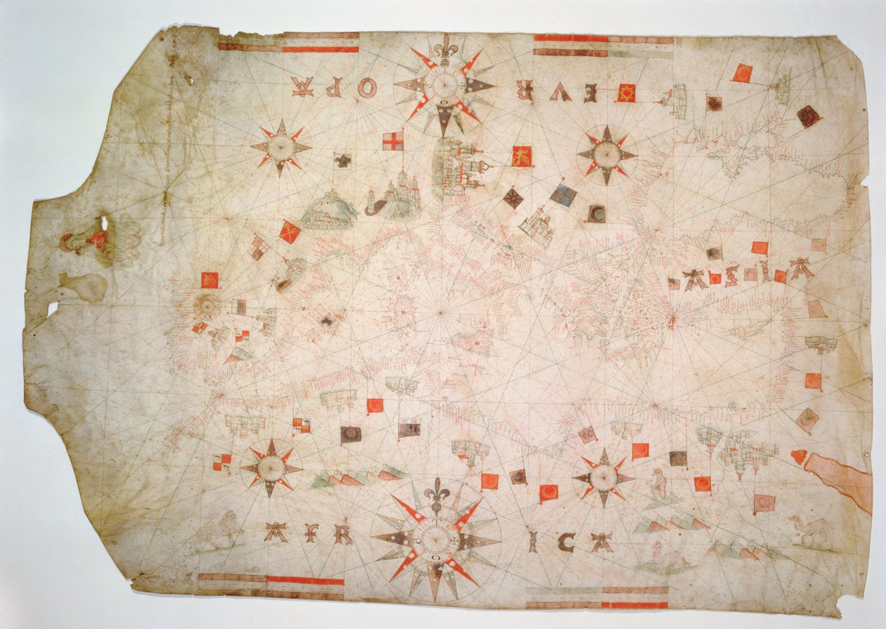
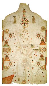
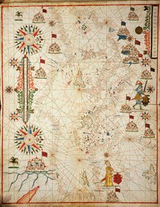
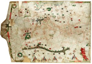
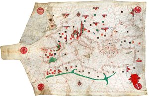
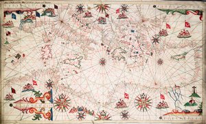
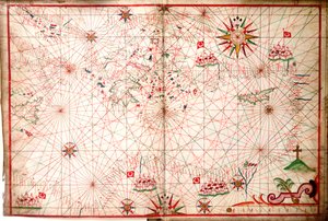
Miniature Nautical Map of the Mediterranean, 1584 by Bartolomeo Olives

Miniature Nautical Map of the Mediterranean, 1584

(Miniature Nautical Map of the Mediterranean, 1584 (parchment))


Bartolomeo Olives

€ 148.49
Includes 13.5% VAT
   Configure art print
1584  ·  parchment  ·  Image ID: 361554

Nonclassified artists  ·  Cartography

Miniature Nautical Map of the Mediterranean, 1584 by Bartolomeo Olives. Available as an art print on canvas, photo paper, watercolor board, natural paper, or Japanese paper.
cartography · Museo Correr, Venice, Italy / Bridgeman Images
AR/3D   View in 3D / AR zu Favoriten hinzufügen   Add to favorites    Change wall color    View picture in a room
0 Reviews

Configure art print

Picture Frame

Medium & Stretcher

Glass & Passepartout

Miscellaneous & Extras

 Save / compare configuration
Preview Icon

Summary

Gemälde
Veredelung
Keilrahmen
Museumslizenz

€ 148.49
(inkl. 20% MwSt)
   Add to cart

Bildschärfe: PERFEKT

If you'd like us to adjust the brightness, colors, or crop the image, we're happy to do this for you at no extra cost. Just get in touch!

Similar artworks selected for you

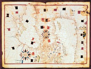
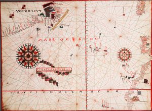
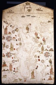
Eastern Mediterranean 19th century copy of the nautical planisphere by Juan de la Cosa America [north and south] -- Europe, Asia, Africa Portulan of the Atlantic and Pacific Mediterranean and the Black Sea map, 1563. Portulan Chart Constructed by William Borough Showing the Sea Area of the North Sea and Baltic, from the East Coast of England to the Head of the Gulf of Sweden, c.1580 Chart of the Mediterranean Sea, with part of the Black Sea Portolan Chart Map of the Mediterranean Sea Guillmus Soleri civis maioricaru me fecit The Mediterranean Basin, from a nautical atlas, 1646 Mediterranean Sea, from portolan atlas of six charts, by Placido Caloiro and Francesco Oliva, 1646 Map of the eastern part of the Mediterranean and the Black Sea, manuscript of a 16th century portolan atlas (manuscript) The entire Mediterranean Basin, from a nautical chart North Atlantic Portolan Chart of the Mediterranean and Northern Europe World Chart, from Eastern Coasts of America to India A Mediterranean Chart Showing the North East Atlantic Chart of North-East Atlantic, from British Isles to Cape Verde Portolan chart of the Mediterranean Coast, depicting the different stages of the Voyage of Ulysses, as told in Homer The Aegean Sea, from a Nautical Atlas, 1651 Map of Italy by sailor cartographer Andrea Bianco (15th century) Portulan chart of Mediterranean Sea and NE Atlantic Nautical chart of the Mediterranean Sea and the Black Sea Map of the Central Atlantic Spanish portolan chart The South Coast of France, Italy and Dalmatia, from a Nautical Atlas, 1651 (detail) Adriatic chart Chart of the Mediterranean, c.1640
Show more similar artworks

More motifs from the category Cartography

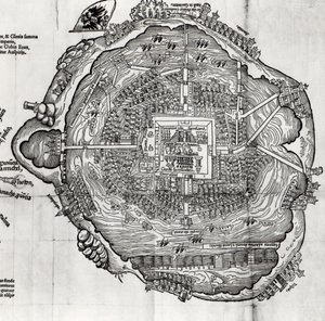
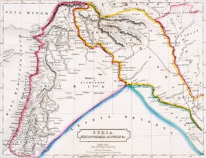
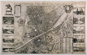
Map of Andalusia, Spain Double Hemisphere World Map, 1587 Map of Venice, by Sebastian Münster (1488-1552), published in Basel, c. 1560 Map of Raab, from Civitates Orbis Terrarum by Georg Braun (1541-1622) and Frans Hogenberg (1535-90), 1597 Map of the World, Based on Descriptions and Co-ordinates Given in Detail from a Renaissance map of Europe, after Jacopo Russo, 1528 Compass point, Renaissance map of Europe, Jacopo Russo (after), 1528 Map of Central Europe, 1486 (detail of 157909) Map of Tenochtitlan from „Praeclara Ferdinandi Cortesii de Nova Maris Oceani Hispania Narrati“ Map of India, published by William Blackwood and Sons, Edinburgh and London, 1848 Map of Syria, Mesopotamia, Assyria etc., from Butler Map of East London, plates 20-21, from ’Cary’s Actual Survey of Middlesex’, 1786 Map of France, Spain and North-West Africa, from the Map of Philadelphia Lead Works, 1889 Map of the City of Florence
View More from "Cartography"

A selection of our top sellers

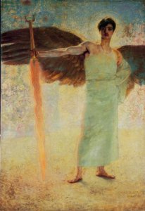
The Guardian of Paradise The Jack Pine, 1917. 1925 Bell Rock Lighthouse Hypnosis Blue Horse I Reclining Female Nude on a White Pillow Blackman Street, Borough, London Seascape in Moonlight on the Sea Summer Night by the Beach The Almond Tree in Blossom, 1947 Lunch - The Soup, Version II, 1910 Standing Male Nude Camelot, illustration from Portrait of a young woman, drawing Portrait of Joan of Arc with flag and lilies against the background of Notre-Dame Cathedral
Show more artworks


What our customers think about us


Frequently Asked Questions about Meisterdrucke


Personalizing your art print at Meisterdrucke is simple and intuitive: Choose a frame, set the image size, pick a printing medium, and add suitable glazing or a stretcher frame. We also offer additional customization options like mats, fillets, and spacers. If you have any questions, our customer service team is ready to help you create your perfect artwork.

At Meisterdrucke, you can visualize your configured artwork directly in your own room. Simply upload a photo of your space and see how the artwork looks in it. If you're visiting us on a mobile device — phone or tablet — our augmented reality feature brings the picture to life and projects it right into your room. A unique experience that combines art and technology.

Choosing the right medium is often a matter of personal taste. To give you a better idea, we've provided some images for each medium. We also offer a sample set of all paper variants, so you can decide not just visually but by touch as well. You can order the sample set free of charge — only shipping costs apply.

Don't worry! At Meisterdrucke, we don't just process orders mechanically. Every order is manually reviewed by our team. If we spot any inconsistencies or issues with your configuration, we'll get in touch with you right away. And of course, our friendly and patient support team is always here to help you with your configuration. We'll work with you by phone or email to adjust your image so the final result is exactly what you had in mind.


Still have questions?

Are you interested in an art print from our manufactory but still unsure? Do you need advice on choosing the medium or help with the order?

Our experts are happy to assist you.

+43 4257 29415
support@meisterdrucke.com

Mo-Do: 7:00 - 16:00 | Fr: 7:00 - 13:00

Still have questions?

Are you interested in an art print from our manufactory but still unsure? Do you need advice on choosing the medium or help with the order?

Our experts are happy to assist you.

+43 4257 29415
support@meisterdrucke.com
Mo-Do: 7:00 - 16:00 | Fr: 7:00 - 13:00


Meisterdrucke

   Kärntner Strasse 46
        9586 Finkenstein am Faaker See
        Austria
        +43 4257 29415
        support@meisterdrucke.com
Other languages

                   
Erfahrungen & Bewertungen zu Meisterdrucke
Post.at DHL Express Quehenberger Cargoboard
Kaiser Franz Joseph

Meisterdrucke
Kärntner Strasse 46
9586 Finkenstein am Faaker See · Austria
+43 4257 29415 · support@meisterdrucke.com
Post.at DHL Express Quehenberger Cargoboard


(c) 2026 meisterdrucke.ie