support@meisterdrucke.com  ·  0043 4257 29415

Deutsch English Italiano Español Français Nederlands Português Svenska Polski Dansk
Search by artist, work title or style – e.g. Monet, Starry Night, Impressionism, Hokusai wave, nude. Describe the scene – e.g. green meadow, abstract with lots of red, dark oil painting, standing nude next to a tree.

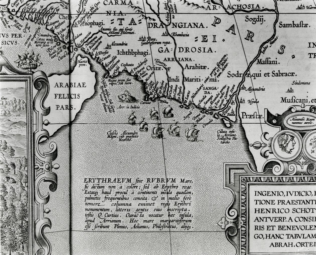
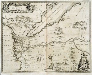
Map of Alexander the Great

Map of Alexander the Great's empire, from “Abrahami Ortelli theatri orbis terrarum parergon”, published in Antwerp in 1674 (detail)

(Map of Alexander the Great's empire, from 'Abrahami Ortelli theatri orbis terrarum parergon', published in Antwerp in 1674 (detail))


Abraham Ortelius

€ 136.39
Includes 13.5% VAT
   Configure art print
1674  ·  engraving  ·  Image ID: 105840

Nonclassified artists  ·  Cartography

Map of Alexander the Great's empire, from “Abrahami Ortelli theatri orbis terrarum parergon”, published in Antwerp in 1674 (detail) by Abraham Ortelius. Available as an art print on canvas, photo paper, watercolor board, natural paper, or Japanese paper.
indus river · drangiana · zranka · afghanistan · c04th- · ancient iran · persian gulf · gulf of oman · boat · boats · sailing · cartography · inv no ge dd 1711 · great · Bibliotheque Nationale, Paris, France / Bridgeman Images
AR/3D   View in 3D / AR zu Favoriten hinzufügen   Add to favorites    Change wall color    View picture in a room
0 Reviews

Configure art print

Picture Frame

Medium & Stretcher

Glass & Passepartout

Miscellaneous & Extras

 Save / compare configuration
Preview Icon

Summary

Gemälde
Veredelung
Keilrahmen
Museumslizenz

€ 136.39
(inkl. 20% MwSt)
   Add to cart

Bildschärfe: PERFEKT

If you'd like us to adjust the brightness, colors, or crop the image, we're happy to do this for you at no extra cost. Just get in touch!

Similar artworks selected for you

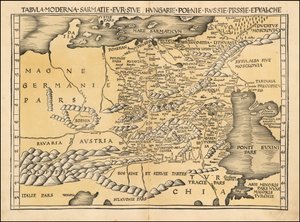
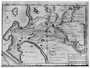
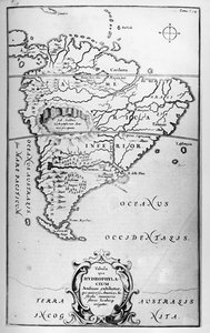
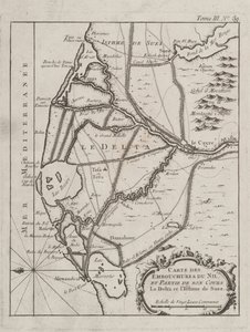
Map of the Travels of Abraham, Isaac and Jacob, 1652 Map of the Travels and Expeditions of Alexander the Great (356-323 BC) in Asia Map of the Isthmus of Darien and the Gulf of Panama in Map of the Strait of Magellan, plate from Oliver van Noort Turtle Island and Santo Domingo from a 17th century map by Pierre Vandier Map of the Garden of Eden, 1675 The Course of the River Amazon Valloton Erythraei Sive Rubri Maris Periplus Map of Locations Cited in the First Book of Entwurf einer historischen Architektur Map of the Tribe of Asher, 1590 The Gulf of Benin, part of the Gulf of Guinea, based on a map of Urbano Monte 1513 map of Poland, Baltic, Hungary and Eastern Europe A Map of the Cape of Good Hope in the Time of the Van der Stels, South Africa Map of the rivers of South America - in The Subterranean World, Athanasius Kircher, circa 1600 Map of Spain Map of the Nile Delta Bristol Channel Map showing location of Brobdingnag from first edition of Gulliver Map of Colchis (1714) - Shows the Oldest Known Depiction of the Wall Detail of Heligoland from a map of Denmark, 1730 The Plantation of Ulster Map of the Ottoman Empire, from the ‘Atlas Novus’ Toulon, France Israelites with Galilee from the Observation of I. Ziegler Map of Russia From: Rerum Moscoviticarum commentarii Connecticut Map of Egypt - engraving by Dapper Andalusia, Spain (engraving)
Show more similar artworks

More art prints by Abraham Ortelius

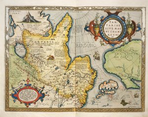
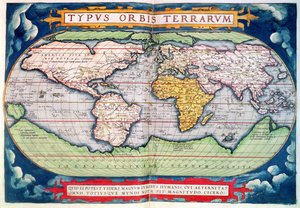
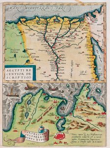
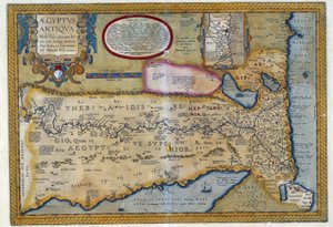
The Expedition of Alexander the Great, from the Map of the Pacific, China and America, 1589, by Abrahamus Ortelius (1527-98) Map of Ancient Egypt, 1584 World Map Typus Orbis Terrarum Map of Tartary, Northern-Central Asia, from Theatrum Orbis Terrarum by Abraham Ortelius Map of the Voyage of the Argonauts, from the “Theatrum Orbis Terrarum”, 1603 Map of the world: “Typus Orbis Terrarum”, from Ortelius Celebrated places in Judea and Israel, from the Aegypti Recentior Descriptio. - Carthaginis Celeberrimi Sinus Typus. Geography map of Egypt with the cities of the Nile and Carthage (Tunisia) from “Theatrum Orbis Terrarum” by Abraham Ortelius Typus Orbis Terrarum, map of the world, from Ortelius Map of Ancient Egypt - by Abraham Ortelius, Antwerp Map of Europe Pontus Euxinus A. Velleius. Islandia Old historical map of ancient Thrace, mostly in Latin and with very little Greek, made in 1585. The map also shows part of Asia Minor, Moesia Inferior, and ancient Greece along with some Aegean islands. There are some anachronisms on the map, such as
Show more works by Abraham Ortelius

More motifs from the category Cartography

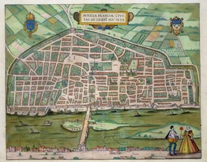
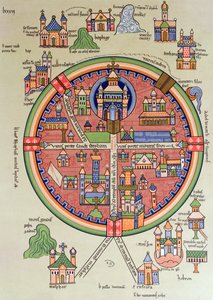
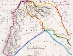
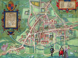
Map of Canaan, or Palestine, published by A. K. Johnstone Map of the Battle of Camperdown, published by William Blackwood and Sons, Edinburgh and London, 1848 Map of the island of Santo Domingo Map of Aurelia, from Map of Persia, 1638 Map of Jerusalem and Palestine, Including the Sacred Sites and the Temple of Solomon Map of Southern Italy, Corsica, and Sardinia known in Ancient Times as Great Greece or Magna Graecia, early 18th century Map of Africa, from Nova Africa Descriptio, published in Amsterdam in the 1660s by Dutch cartographer Frederik de Wit Map of Syria, Mesopotamia, Assyria etc., from Butler Battle of Waterloo, Map of the Battlefield, engraved by Jacowick, 1816 Map of Cambridge, from Map of India, published under the direction of Colonel H.R. Thuillier, R.E., Surveyor General of India, 1882 World Map by Abraham Ortelius (1527-1598) Map of the route taken by Vitus Bering (1681-1741) across Siberia to Kamchatka, from Navigantium atque Itinerantium Bibliotheca, published 1744 Detail of the Right Bank, from the Map of Paris c. 1540, known as the Plan de la Tapisserie, made as a Tapestry c. 1570
View More from "Cartography"

A selection of our top sellers

Moonrise Joan of Arc, 1865 Hunters, 1816 The Magpie The Tortoise Trainer, 1906 The Kiss The Carte du Tendre, a map of an imaginary country, from volume II of Water Lilies, 1916 St. Thomas Aquinas Study for “Passage of Humaitá” Vassilissa in the Forest, illustration from the Russian folk tale, Forest of Fontainebleau Waterlilies, 1916-19 Return of the Prodigal Son, 1773 The Noon
Show more artworks


What our customers think about us


Frequently Asked Questions about Meisterdrucke


Personalizing your art print at Meisterdrucke is simple and intuitive: Choose a frame, set the image size, pick a printing medium, and add suitable glazing or a stretcher frame. We also offer additional customization options like mats, fillets, and spacers. If you have any questions, our customer service team is ready to help you create your perfect artwork.

At Meisterdrucke, you can visualize your configured artwork directly in your own room. Simply upload a photo of your space and see how the artwork looks in it. If you're visiting us on a mobile device — phone or tablet — our augmented reality feature brings the picture to life and projects it right into your room. A unique experience that combines art and technology.

Choosing the right medium is often a matter of personal taste. To give you a better idea, we've provided some images for each medium. We also offer a sample set of all paper variants, so you can decide not just visually but by touch as well. You can order the sample set free of charge — only shipping costs apply.

Don't worry! At Meisterdrucke, we don't just process orders mechanically. Every order is manually reviewed by our team. If we spot any inconsistencies or issues with your configuration, we'll get in touch with you right away. And of course, our friendly and patient support team is always here to help you with your configuration. We'll work with you by phone or email to adjust your image so the final result is exactly what you had in mind.


Still have questions?

Are you interested in an art print from our manufactory but still unsure? Do you need advice on choosing the medium or help with the order?

Our experts are happy to assist you.

+43 4257 29415
support@meisterdrucke.com

Mo-Do: 7:00 - 16:00 | Fr: 7:00 - 13:00

Still have questions?

Are you interested in an art print from our manufactory but still unsure? Do you need advice on choosing the medium or help with the order?

Our experts are happy to assist you.

+43 4257 29415
support@meisterdrucke.com
Mo-Do: 7:00 - 16:00 | Fr: 7:00 - 13:00


Meisterdrucke

   Kärntner Strasse 46
        9586 Finkenstein am Faaker See
        Austria
        +43 4257 29415
        support@meisterdrucke.com
Other languages

                   
Erfahrungen & Bewertungen zu Meisterdrucke
Post.at DHL Express Quehenberger Cargoboard
Kaiser Franz Joseph

Meisterdrucke
Kärntner Strasse 46
9586 Finkenstein am Faaker See · Austria
+43 4257 29415 · support@meisterdrucke.com
Post.at DHL Express Quehenberger Cargoboard


(c) 2026 meisterdrucke.ie