-
 ×
- Home
- Art Prints ▸
- Artists ▸
- Categories ▸
- Art Styles ▸
- Picture Frame ▸
- All decorative frames
- Baroque decorative frames
- Simple decorative frames
- Rustic decorative frames
- Floating frames
- Golden decorative frames
- Silver decorative frames
- White decorative frames
- Black decorative frames
- Wood-look decorative frames
- Shabby chic decorative frames
- Thin decorative frames
- Thick decorative frames
- Print Media ▸
- All print media
- Canvas Leonardo (satin)
- Canvas Salvador (matte)
- Canvas Raphael (matte)
- FineArt Photo Matte
- FineArt Photo Satin
- FineArt Photo Baryte
- FineArt Photo Glossy
- Watercolor Paper Munch
- Watercolor Paper Renoir
- Watercolor Paper Turner
- Watercolor Paper Dürer
- Natural Line Hemp
- Natural Line Rice
- Kozo White, 110g
- Kozo Natural, 110g
- Inbe White, 125g
- Unryu, 55g
- Bamboo, 110g
- Premio Unryu, 165g
- Murakumo Natural, 42g
- Bizan Natural, 300g
- Bizan White, 300g
- Aluminum composite 3mm
- Acrylic glass 5mm
- Order Sample Set
- Which print medium is right for you?
Canvas
Photo Paper
Watercolor Board
Natural Line
Japanese Paper
Special Media
More information
- Help & Service ▸
- Contact us
- Sell your art
- Frequently Asked Questions
- Job Openings
- Complaint
- Order Samples
- Order Vouchers
- Shipping costs
- Production time
- Sustainability
- Image research
- Special requests
- Who are we?
- Pricing policy
- Company policy
- Quality promise
- Awards
- Stretcher frame
- Mats
- Decorative frames
- Glazing
- Fillets
- Mounting systems
- Print media
- Care tips
- Legal Notice
- Terms & Conditions
- Privacy Policy
- Right of Cancellation
Info & Service
More information
Good to know
Legal information
- Shop ▸
- Contact





 View in 3D / AR
 Add to favorites
 Change wall color
 View picture in a room
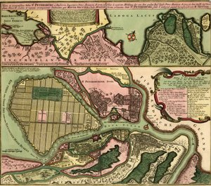
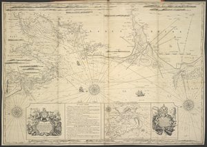
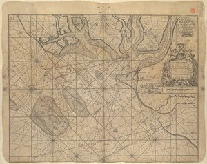
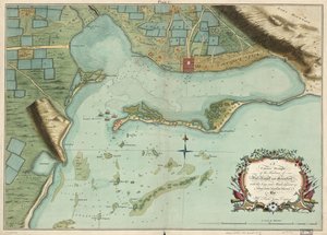
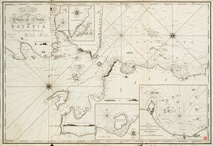
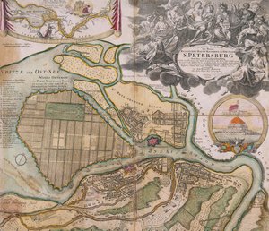
.jpg "Map of St. Petersburg, c. 1750")
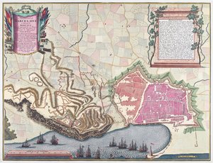
.jpg "Map of the Canal du Midi, with its aqueducts")
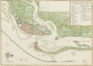
 og viser Christiania - (MeisterDrucke-543100).jpg "The Map is Published in Hand-Drawn (1784) and Shows Christiania")
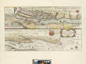
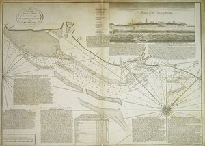

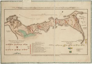

_(Engraving_-_(MeisterDrucke-971666).jpg "Map of Toulon (France)")
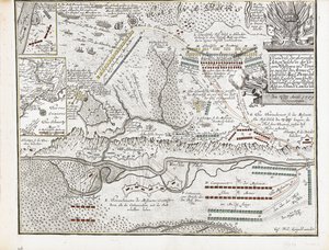
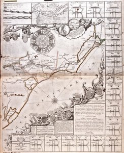
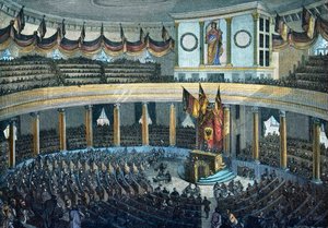
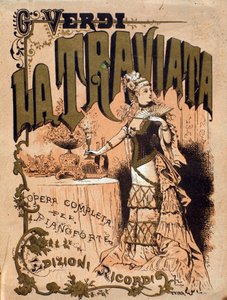
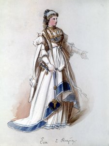
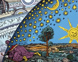
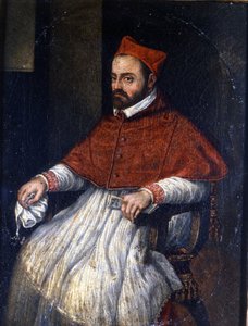
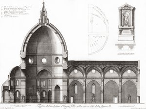
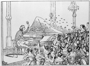
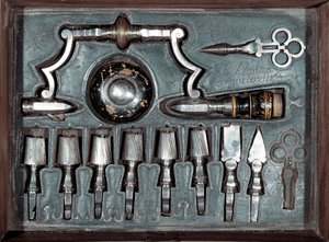

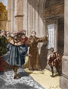
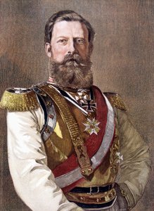

.jpg "Sadko")
.jpg "Fishing Boats on the Beach at Les Saintes-Maries-de-la-Mer")
.jpg "The Greifswald Market")
.jpg "Jockey on a galloping horse, plate 627 from Animal Locomotion, 1887")
.jpg "Old Woman and Boy with Candles, c. 1616-1617")
.jpg "Childhood Friends")
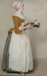
.jpg "The sleeping Jesus, or Madonna holding the sleeping Child, accompanied by three angels, 1532")
.jpg "The Taking of Christ")
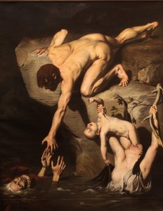
 - (MeisterDrucke-62585).jpg "The Great Piece of Turf, 1503")
.jpg "Standing half-nude with brown shirt")
.jpg "Return of the Prodigal Son")
.jpg "Standing Woman in Red")

 +43 4257 29415
 support@meisterdrucke.com
 Mo-Do: 7:00 - 16:00 | Fr: 7:00 - 13:00






