support@meisterdrucke.com  ·  0043 4257 29415

Deutsch English Italiano Español Français Nederlands Português Svenska Polski Dansk
Search by artist, work title or style – e.g. Monet, Starry Night, Impressionism, Hokusai wave, nude. Describe the scene – e.g. green meadow, abstract with lots of red, dark oil painting, standing nude next to a tree.

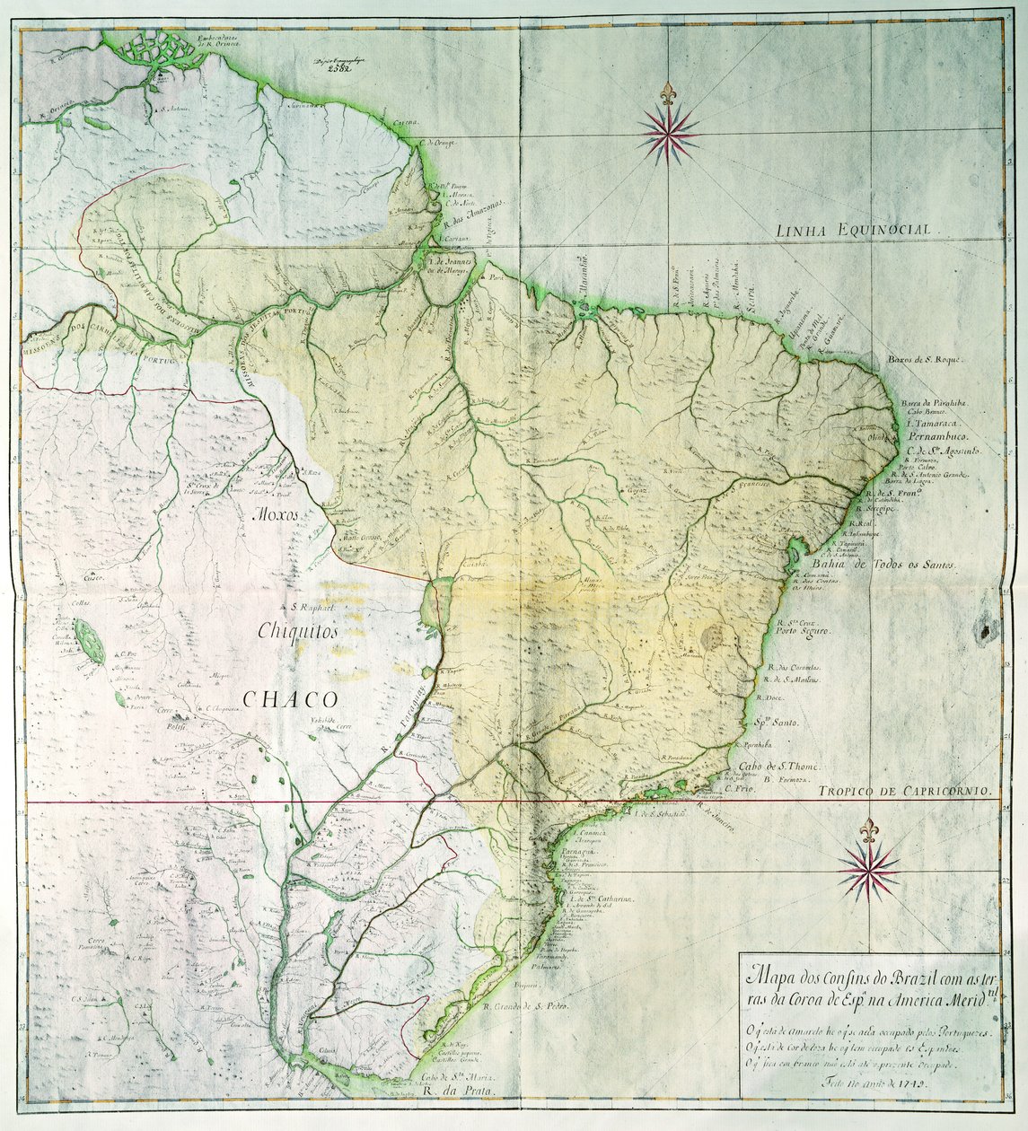
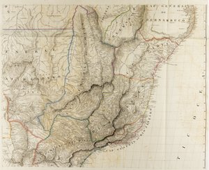
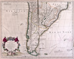
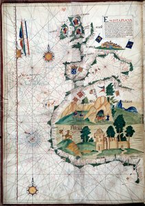
Map of Brazil, 1749 by Portuguese School

Map of Brazil, 1749

(Map of Brazil, 1749 (colour engraving))


Portuguese School

€ 127.44
Includes 13.5% VAT
   Configure art print
1749  ·  colour engraving  ·  Image ID: 86697

Cultural Circles  ·  Cartography

Map of Brazil, 1749 by Portuguese School. Available as an art print on canvas, photo paper, watercolor board, natural paper, or Japanese paper.
geography · cartography · south america · colony · colonies · geographical · southern america · latin america · Private Collection / Bridgeman Images
AR/3D   View in 3D / AR zu Favoriten hinzufügen   Add to favorites    Change wall color    View picture in a room
0 Reviews

Configure art print

Picture Frame

Medium & Stretcher

Glass & Passepartout

Miscellaneous & Extras

 Save / compare configuration
Preview Icon

Summary

Gemälde
Veredelung
Keilrahmen
Museumslizenz

€ 127.44
(inkl. 20% MwSt)
   Add to cart

Bildschärfe: PERFEKT

If you'd like us to adjust the brightness, colors, or crop the image, we're happy to do this for you at no extra cost. Just get in touch!

Similar artworks selected for you

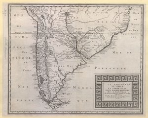
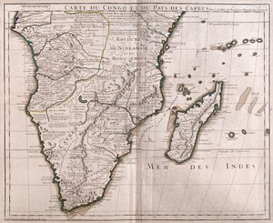
Map of South America, 1777 South America, from Outlines of the Physical and Political Divisions of South America Map of South America South America: Drawn from Observations by Members of the Royal Academy of Sciences Panama, Argentina, Bolivia, Brazil, Chile, Colombia, Ecuador, French Guiana, Guyana, Paraguay, Peru, Suriname, Uruguay, Venezuela Outlines of the Physical and Political Divisions of South America Map of the Floristic Provinces of Brazil by Martius Chile (except north), Argentina, Paraguay, Uruguay, Southeast Brazil, Falkland Islands Map of South America, c.1715 Map of Paraguay, Chile and Magellan Land (Argentina) (etching) South America - by A Map of South America Peru, Brazil and Amazonia Map of South America, published in 1700, Paris Map of India, 1803 Outlines of the Physical and Political Divisions of South America South America, by Guillaume de l Chart of Paraguay, Chile, Straits of Magellan and Tierra del Fuego in South America Paraguay and Chile A New and Exact Map of the Coast Countries and Islands Within Ye Limits of Ye South Sea Company Chile, from the South of Peru to Cape Horn, from Southern Brazil, from A Map of the British and French Dominions in America Outlines of the Physical and Political Divisions of South America Paraguay, Chile, the Land, and the Magellanic Islands: Taken from Various Accounts Congo (South Africa) Improved Map of India, published in London 1820 A map of the British and French dominions in North America with the roads, distances, limits and extent of the settlements, humbly inscribed to the Right Honourable the Earl of Halifax and the other Right Honourable the Lords Commissioners for Trade & Plan
Show more similar artworks

More art prints by Portuguese School

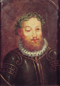
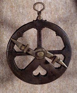
Portrait of John II of Portugal (1455-95) Portrait of Luís Vaz de Camões (c. 1524-80), 16th-17th century Measuring instrument: 16th-century Portuguese nautical astrolabe. Oxford University Geographic Map of the Azores, 1587 Vasco da Gama Panoramic view of Lisbon before the earthquake of 1755 - Azulejos from the beginning of the 18th century, panel from the former palace of the Counts of Tentugal, Lisbon (Great Lisbon panorama before the earthquake of 1755, early 18th-century faience Portolan of the West Coast of Africa with the Canary Islands. Geographic map by the Portuguese Luis Lazare (16th century) Portuguese art: representation of the pregnant Virgin with a hand on her belly. Polychrome stone sculpture Francisco de Almeida (c. 1450-1510), Portuguese soldier and first viceroy of the Indies The doctor administering an enema to a patient - Satirical panel from Lisbon, first half of the 18th century (Physician - Satirical panel, first half of the 18th century) - National Museum of Azulejos, Lisbon (Portugal) The Tomb of Inês de Castro (d.1355) VASCO DA GAMA: Illustration from "OS LUSIADAS" by Luis Camoes, Lisboa 1572 Map of the Atlantic Ocean, c. 1550 Ferdinand Magellan Carved statue of the Pregnant Virgin Mary, Lamego, Portugal, c.1562
Show more works by Portuguese School

More motifs from the category Cartography

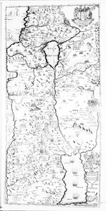
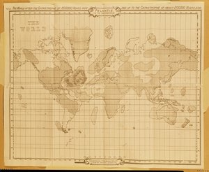
Van Diemen Map of the Christian Constellations as depicted by Julius Schiller, from “The Celestial Atlas, or The Harmony of the Universe” (Atlas coelestis seu harmonia macrocosmica), published by Joannes Janssonius, A Map of the Battles of Champaubert and Vauchamps, published by William Blackwood and Sons, Edinburgh and London, 1848 Map of Corsica Map of Tenochtitlan from „Praeclara Ferdinandi Cortesii de Nova Maris Oceani Hispania Narrati“ Glyph map of Aztec migration from Aztlan to Tenochtitlan, published c. 1830 MS HM 2182 The Forbidden City in Peking, from a collection of maps made during a Vietnamese embassy to China Map of Crompond, from ’Guerre de l’Amerique’, 1782 A Map of Samaria, from Map No.6 showing the route of the Armada fleet, engraved by Augustine Ryther, 1588 Map of the Kingdom of Scotland, 17th Century, Scotia Regnum, Influenced by Mercator Atlas 131 H.fol. 71, Map of part of Bas-Poitou and the Île de Noirmoutier, 1703 Partial Map of Middle East in the 1890s, from “The Citizen Map of the world, World Map
View More from "Cartography"

A selection of our top sellers

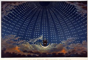
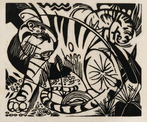
The Water Lily Pond in the Evening Fish Blood Scenography for “The Magic Flute”, opera by Wolfgang Amadeus Mozart, realised by Karl Schinkel (1781-1841) The Dolphin Fresco in the Queen The Portrait of Giovanni Arnolfini and his Wife (The Arnolfini Marriage) Tiger, 1912 Sails on the Sea, Valencia The Road to Bas-Bréau, Fontainebleau (Le Pavé de Chailly), c. 1865 The City of Troy from the Sea, an illustration from Homer Group of Egrets, 1925-36 Christ in the Wilderness Reclining Female Nude Young Girl Reading, c.1770 The Bright House (1st Version) By the Lake
Show more artworks


What our customers think about us


Frequently Asked Questions about Meisterdrucke


Personalizing your art print at Meisterdrucke is simple and intuitive: Choose a frame, set the image size, pick a printing medium, and add suitable glazing or a stretcher frame. We also offer additional customization options like mats, fillets, and spacers. If you have any questions, our customer service team is ready to help you create your perfect artwork.

At Meisterdrucke, you can visualize your configured artwork directly in your own room. Simply upload a photo of your space and see how the artwork looks in it. If you're visiting us on a mobile device — phone or tablet — our augmented reality feature brings the picture to life and projects it right into your room. A unique experience that combines art and technology.

Choosing the right medium is often a matter of personal taste. To give you a better idea, we've provided some images for each medium. We also offer a sample set of all paper variants, so you can decide not just visually but by touch as well. You can order the sample set free of charge — only shipping costs apply.

Don't worry! At Meisterdrucke, we don't just process orders mechanically. Every order is manually reviewed by our team. If we spot any inconsistencies or issues with your configuration, we'll get in touch with you right away. And of course, our friendly and patient support team is always here to help you with your configuration. We'll work with you by phone or email to adjust your image so the final result is exactly what you had in mind.


Still have questions?

Are you interested in an art print from our manufactory but still unsure? Do you need advice on choosing the medium or help with the order?

Our experts are happy to assist you.

+43 4257 29415
support@meisterdrucke.com

Mo-Do: 7:00 - 16:00 | Fr: 7:00 - 13:00

Still have questions?

Are you interested in an art print from our manufactory but still unsure? Do you need advice on choosing the medium or help with the order?

Our experts are happy to assist you.

+43 4257 29415
support@meisterdrucke.com
Mo-Do: 7:00 - 16:00 | Fr: 7:00 - 13:00


Meisterdrucke

   Kärntner Strasse 46
        9586 Finkenstein am Faaker See
        Austria
        +43 4257 29415
        support@meisterdrucke.com
Other languages

                   
Erfahrungen & Bewertungen zu Meisterdrucke
Post.at DHL Express Quehenberger Cargoboard
Kaiser Franz Joseph

Meisterdrucke
Kärntner Strasse 46
9586 Finkenstein am Faaker See · Austria
+43 4257 29415 · support@meisterdrucke.com
Post.at DHL Express Quehenberger Cargoboard


(c) 2026 meisterdrucke.ie