support@meisterdrucke.com  ·  0043 4257 29415

Deutsch English Italiano Español Français Nederlands Português Svenska Polski Dansk
Search by artist, work title or style – e.g. Monet, Starry Night, Impressionism, Hokusai wave, nude. Describe the scene – e.g. green meadow, abstract with lots of red, dark oil painting, standing nude next to a tree.

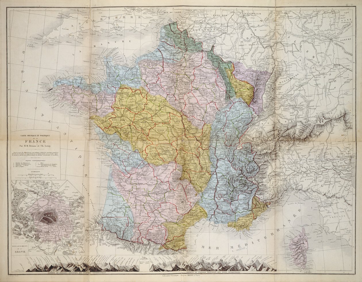
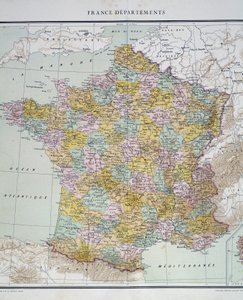
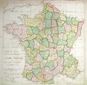
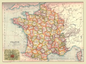
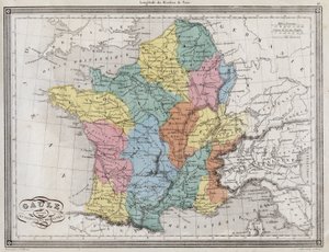
Map of France, c.1830-40 by M.M. and Leroy, Ch. Drioux

Map of France, c.1830-40

(Map of France, c.1830-40 )


M.M. and Leroy, Ch. Drioux

€ 139.82
Includes 13.5% VAT
   Configure art print
Undated  ·  coloured engraving  ·  Image ID: 425348

Nonclassified artists  ·  Cartography

Map of France, c.1830-40 by M.M. and Leroy, Ch. Drioux. Available as an art print on canvas, photo paper, watercolor board, natural paper, or Japanese paper.
carte · plan · cartography · cartographical · provinces · regions · paris · corsica · Private Collection / Bridgeman Images
AR/3D   View in 3D / AR zu Favoriten hinzufügen   Add to favorites    Change wall color    View picture in a room
0 Reviews

Configure art print

Picture Frame

Medium & Stretcher

Glass & Passepartout

Miscellaneous & Extras

 Save / compare configuration
Preview Icon

Summary

Gemälde
Veredelung
Keilrahmen
Museumslizenz

€ 139.82
(inkl. 20% MwSt)
   Add to cart

Bildschärfe: PERFEKT

If you'd like us to adjust the brightness, colors, or crop the image, we're happy to do this for you at no extra cost. Just get in touch!

Similar artworks selected for you

Gaul divided into Roman provinces - Plate extracted from Map of France on the death of Louis XIV in 1715. Engraving in History of France by Victor Duruy (1811-1894), 1882 Map of France - in Map of France, Gallia Antiqua, from A New Geographical Pastime Exhibiting a Complete Tour Through France Respectfully Dedicated with Permission to the Right Honorable Lady Georgiana Cavendish General Map of European Russia and the Caucasian Countries Division of Brittany into Six Departments, c.1789-90 Map of Spain Said to Have Been Used by the Duke of Wellington Unknown Image Map of Cutch and Kathiawar, published under the direction of Colonel G.C. de Pree, S.C., Surveyor General of India, 1885 Map: France Departments. Atlas of the 1950s. Sardinian States on the Mainland Map of Spain said to have been used by the Duke of Wellington A map of Spain and Portugal, c.1869 France by Regions, from Map of China and Burma, 1851 Map of France showing plans to divide departments, 1789 Ferro. Unbound. Similar Version Described In Map of the Vendée depicting the area of the Vendée Revolt (1793-96) in March 1793, c. 1815 Geographical Map of the Theatre of War, Showing the Kingdom of Hungary in the Main, 1771 Map of France under the reign of King Louis XVI from 1774 to 1793, map of France in the time of King Louis XVI, plate from Atlas Universel by Houze Map of Spain and Portugal, from “Smith New Universal Geography Map of Central Asia, 1834 Map of the Russian Empire Map of France Austrian Dominions (Thomson, 1816) Map of Cutch and Bombay Presidency, India, 1898 1842 Map of Central Asia
Show more similar artworks

More motifs from the category Cartography

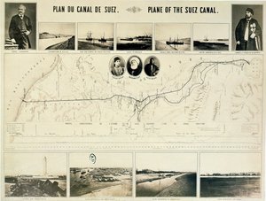
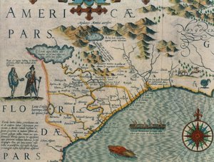
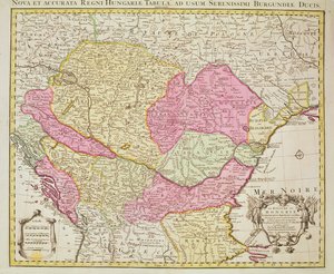
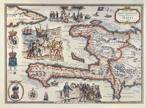
Map of Florence, 1584 An Arab Trader on a Camel, detail from a Renaissance map of Europe, after Jacopo Russo, 1528 Map showing Tycho Brahe Map of the Gulf of Naples and surrounding area from Map of Oxford, 1643 Map of Szolnok, from ’Civitates Orbis Terrarum’ by Georg Braun (1541-1622) and Frans Hogenberg (1535-90), 1617 Map of Britain in 658, produced by Stanford’s Geographical Establishment Map of New Holland, c. 1650-1780 Map of the Suez Canal accompanied by different views and portraits of Ferdinand de Lesseps (1805-94) and Ismail Pasha (1830-95), 1869 Map of North and South America, from the Coast of North Carolina (detail) Map of the Kingdom of Hungary, 1742 Map of Padua, from "Les Villes de Venétie", 1704, published by Pierre Mortier in Amsterdam Map of the Island of Haiti, 1789 World map, illustration from Atlas Géographique Moderne by Prosper-Auguste Poulain de Bossay, c. 1850
View More from "Cartography"

A selection of our top sellers

Angel Traveller The Carte du Tendre, a map of an imaginary country, from volume II of The White Woman and the Black Woman. 1913 View of Florence, 1837. The Wanderer above the Sea of Fog The Isle of the Dead View of the Naruto whirlpools at Awa, from the series Collage on a Black Background Japanese Vase with Roses and Anemones, 1890 Vitruvius, Luc Viatour Seated Woman with Bent Knees, 1917 Lake Geneva with Mont Blanc in the Dawn Glow Haymaking Roman art: “Spring”, Flora picking flowers. Fresco from the Villa of Varano in Stabiae, near Pompeii. 15 BC-60 AD. National Archaeological Museum, Naples The Course of Empire: The Arcadian or Pastoral State
Show more artworks


What our customers think about us


Frequently Asked Questions about Meisterdrucke


Personalizing your art print at Meisterdrucke is simple and intuitive: Choose a frame, set the image size, pick a printing medium, and add suitable glazing or a stretcher frame. We also offer additional customization options like mats, fillets, and spacers. If you have any questions, our customer service team is ready to help you create your perfect artwork.

At Meisterdrucke, you can visualize your configured artwork directly in your own room. Simply upload a photo of your space and see how the artwork looks in it. If you're visiting us on a mobile device — phone or tablet — our augmented reality feature brings the picture to life and projects it right into your room. A unique experience that combines art and technology.

Choosing the right medium is often a matter of personal taste. To give you a better idea, we've provided some images for each medium. We also offer a sample set of all paper variants, so you can decide not just visually but by touch as well. You can order the sample set free of charge — only shipping costs apply.

Don't worry! At Meisterdrucke, we don't just process orders mechanically. Every order is manually reviewed by our team. If we spot any inconsistencies or issues with your configuration, we'll get in touch with you right away. And of course, our friendly and patient support team is always here to help you with your configuration. We'll work with you by phone or email to adjust your image so the final result is exactly what you had in mind.


Still have questions?

Are you interested in an art print from our manufactory but still unsure? Do you need advice on choosing the medium or help with the order?

Our experts are happy to assist you.

+43 4257 29415
support@meisterdrucke.com

Mo-Do: 7:00 - 16:00 | Fr: 7:00 - 13:00

Still have questions?

Are you interested in an art print from our manufactory but still unsure? Do you need advice on choosing the medium or help with the order?

Our experts are happy to assist you.

+43 4257 29415
support@meisterdrucke.com
Mo-Do: 7:00 - 16:00 | Fr: 7:00 - 13:00


Meisterdrucke

   Kärntner Strasse 46
        9586 Finkenstein am Faaker See
        Austria
        +43 4257 29415
        support@meisterdrucke.com
Other languages

                   
Erfahrungen & Bewertungen zu Meisterdrucke
Post.at DHL Express Quehenberger Cargoboard
Kaiser Franz Joseph

Meisterdrucke
Kärntner Strasse 46
9586 Finkenstein am Faaker See · Austria
+43 4257 29415 · support@meisterdrucke.com
Post.at DHL Express Quehenberger Cargoboard


(c) 2026 meisterdrucke.ie