support@meisterdrucke.com  ·  0043 4257 29415

Deutsch English Italiano Español Français Nederlands Português Svenska Polski Dansk
Search by artist, work title or style – e.g. Monet, Starry Night, Impressionism, Hokusai wave, nude. Describe the scene – e.g. green meadow, abstract with lots of red, dark oil painting, standing nude next to a tree.

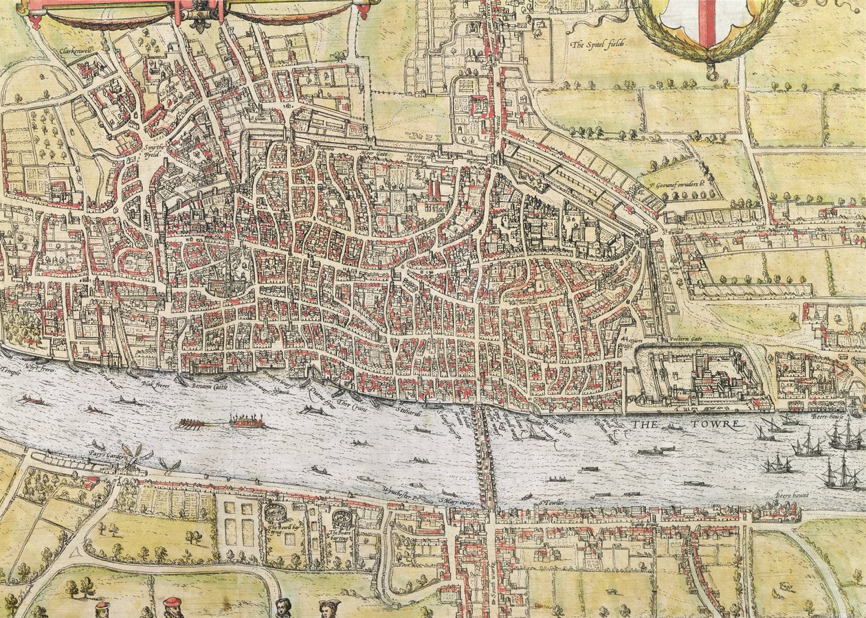
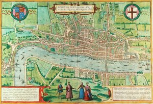
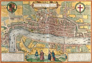
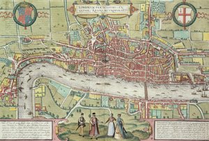
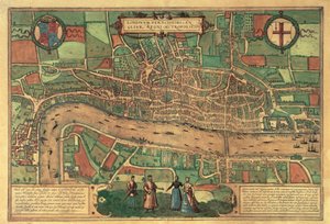
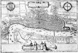
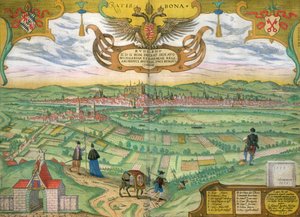
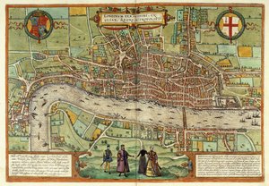
Map of London, from “Civitates Orbis Terrarum”, by Georg Braun (1542-1622) and Frans Hogenburg (1635-90), c. 1572 by Joris Hoefnagel

Map of London, from “Civitates Orbis Terrarum”, by Georg Braun (1542-1622) and Frans Hogenburg (1635-90), c. 1572

(Map of London, from 'Civitates Orbis Terrarum', by Georg Braun (1542-1622) and Frans Hogenburg (1635-90),c.1572 )


Joris Hoefnagel

€ 148.49
Includes 13.5% VAT
   Configure art print
1572  ·  hand coloured engraving  ·  Image ID: 181220

Flemish painting  ·  Cartography

Map of London, from “Civitates Orbis Terrarum”, by Georg Braun (1542-1622) and Frans Hogenburg (1635-90), c. 1572 by Joris Hoefnagel. Available as an art print on canvas, photo paper, watercolor board, natural paper, or Japanese paper.
detail of the city · medieval · tower of london · thames · barge · London Metropolitan Archives, City of London / Bridgeman Images
AR/3D   View in 3D / AR zu Favoriten hinzufügen   Add to favorites    Change wall color    View picture in a room
0 Reviews

Configure art print

Picture Frame

Medium & Stretcher

Glass & Passepartout

Miscellaneous & Extras

 Save / compare configuration
Preview Icon

Summary

Gemälde
Veredelung
Keilrahmen
Museumslizenz

€ 148.49
(inkl. 20% MwSt)
   Add to cart

Bildschärfe: PERFEKT

If you'd like us to adjust the brightness, colors, or crop the image, we're happy to do this for you at no extra cost. Just get in touch!

Similar artworks selected for you

A View of London Map of London, from Civitates Orbis Terrarum, by Georg Braun and Frans Hogenburg, c.1572 Map of London, from Map of London, 1666 Map of the City of London, Southwark and part of Westminster Map of London in the 16th century London, Great Britain View of London (Londinum), England Map of London, from “Civitates Orbis Terrarum” by Georg Braun (1542-1622) and Frans Hogenburg (1635-90), c. 1572 A New and Exact Plan of the Cities of London and Westminster and the Borough of Southwark, 1725 Map of Earliest printed map of London, 1574 Map of London from Civitates Orbis Terrarum Map of London Map of Cologne Plan of London from Civitates Orbis Terrarum, vol. 1, 1572 Basel, Switzerland Map of Cologne View of London, c.1560 Plan of Cologne, Germany Cologne, Germany Map of London after the Great Fire of 1666. A Map or Groundplot of the Citty of London and the Suburbes (...) (title on object) Plan of the City of Burgos in Spain Map of Bremen (engraving) Kampen and the river IJssel, Netherlands Plan of Bale, Switzerland Londinium Feracissimi Angliae Regni Metropolis, from London in the Time of the Tudors by Sir Walker Besant, 1904 Kampen and the River IJssel, Netherlands - in
Show more similar artworks

More art prints by Joris Hoefnagel

Map of London, from Snail, c.1575-80 Plate 17: Brimstone and Meadow Brown(?) Butterflies, a Dragonfly, and Two Small Insects Plate 65: Blackbird, Starling (?), and Other Birds Plate 17: White Heron(?) and Black Stork Killing a Snake with a Dragon Scarab beetle, c.1575-80 Map of Regensburg, from Plate 54: Hairy Dragonfly and Two Darters Map of Leipzig, from „Civitates Orbis Terrarum“ by Georg Braun (1541-1622) and Frans Hogenberg (1535-90), c. 1572 Map of Cambridge, from Map of Rome, from Plate 70: Worm, Centipede, Millipede, and Other Long Creatures Map of Lisbon, from Plate 56: Two Heads of Cabbage Plate 23: Hawk Moth, Butterflies, and Other Insects around a Snowberry Sprig
Show more works by Joris Hoefnagel

More motifs from the category Cartography

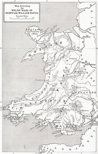
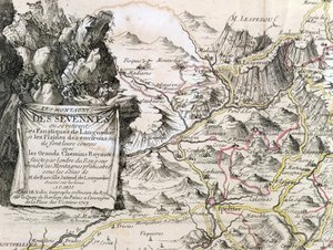
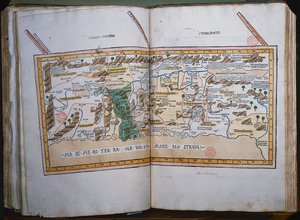
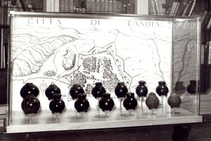
West Coast of Africa, from Lisbon to Sierra Leone, from ’Atlas de Toutes les Parties Connues du Globe Terrestre’ by Guillaume Raynal (1713-96), published in Geneva, 1780 Map illustrating the Welsh wars of William Rufus and Henry I, from ’A Short History of the English People’ by J. R. Green, published 1893 Cartouche from a map of the Cevennes region, 1703 The globe Map of Surrey, described and divided into hundreds Cartouche of Quebec from “Carte de l Inc. 425 Map of the Holy Land, based on descriptions and co-ordinates given in Cosmographica, by Ptolemy (Claudius Ptolemaeus of Alexandria) (c. 90-168 AD), published in Ulm, Germany, by Johann Reger fo The Continent of Africa, from an Atlas of the World in 33 Maps, Venice, 1st September 1553 Map of Crompond, from ’Guerre de l’Amerique’, 1782 Map of the Battle of Friedland, published by William Blackwood and Sons, Edinburgh and London, 1848 Map of Persia Venetian Bombs and a Map of the City of Crete Map of the Russian Empire, in Europe and Asia, from Atlas 131 H f.1, Map of Bas-Poitou, Pays d Fol. 44v Map of Brazil, from
View More from "Cartography"

A selection of our top sellers

Isle of the Dead. 1883 (Third version of five) Christ in the Wilderness Impression, Sunrise, 1872 Blue, 1922 A Vase of Roses, 1890 Female Lute Player The Resurrection of Christ, from the right wing of the Isenheim Altarpiece, c.1512-16, detail of 17677 Avenue in the Park of Kammer Castle, 1912 The Eruption of the Soufrière Mountains on the Island of St. Vincent, 30th April 1812, 1815 Composition Z VIII The Forest of Pines Marine Solitude, 1852 The Butterfly Hunter Beethoven Frieze The Bright House (1st Version)
Show more artworks


What our customers think about us


Frequently Asked Questions about Meisterdrucke


Personalizing your art print at Meisterdrucke is simple and intuitive: Choose a frame, set the image size, pick a printing medium, and add suitable glazing or a stretcher frame. We also offer additional customization options like mats, fillets, and spacers. If you have any questions, our customer service team is ready to help you create your perfect artwork.

At Meisterdrucke, you can visualize your configured artwork directly in your own room. Simply upload a photo of your space and see how the artwork looks in it. If you're visiting us on a mobile device — phone or tablet — our augmented reality feature brings the picture to life and projects it right into your room. A unique experience that combines art and technology.

Choosing the right medium is often a matter of personal taste. To give you a better idea, we've provided some images for each medium. We also offer a sample set of all paper variants, so you can decide not just visually but by touch as well. You can order the sample set free of charge — only shipping costs apply.

Don't worry! At Meisterdrucke, we don't just process orders mechanically. Every order is manually reviewed by our team. If we spot any inconsistencies or issues with your configuration, we'll get in touch with you right away. And of course, our friendly and patient support team is always here to help you with your configuration. We'll work with you by phone or email to adjust your image so the final result is exactly what you had in mind.


Still have questions?

Are you interested in an art print from our manufactory but still unsure? Do you need advice on choosing the medium or help with the order?

Our experts are happy to assist you.

+43 4257 29415
support@meisterdrucke.com

Mo-Do: 7:00 - 16:00 | Fr: 7:00 - 13:00

Still have questions?

Are you interested in an art print from our manufactory but still unsure? Do you need advice on choosing the medium or help with the order?

Our experts are happy to assist you.

+43 4257 29415
support@meisterdrucke.com
Mo-Do: 7:00 - 16:00 | Fr: 7:00 - 13:00


Meisterdrucke

   Kärntner Strasse 46
        9586 Finkenstein am Faaker See
        Austria
        +43 4257 29415
        support@meisterdrucke.com
Other languages

                   
Erfahrungen & Bewertungen zu Meisterdrucke
Post.at DHL Express Quehenberger Cargoboard
Kaiser Franz Joseph

Meisterdrucke
Kärntner Strasse 46
9586 Finkenstein am Faaker See · Austria
+43 4257 29415 · support@meisterdrucke.com
Post.at DHL Express Quehenberger Cargoboard


(c) 2026 meisterdrucke.ie