support@meisterdrucke.com  ·  0043 4257 29415

Deutsch English Italiano Español Français Nederlands Português Svenska Polski Dansk
Search by artist, work title or style – e.g. Monet, Starry Night, Impressionism, Hokusai wave, nude. Describe the scene – e.g. green meadow, abstract with lots of red, dark oil painting, standing nude next to a tree.

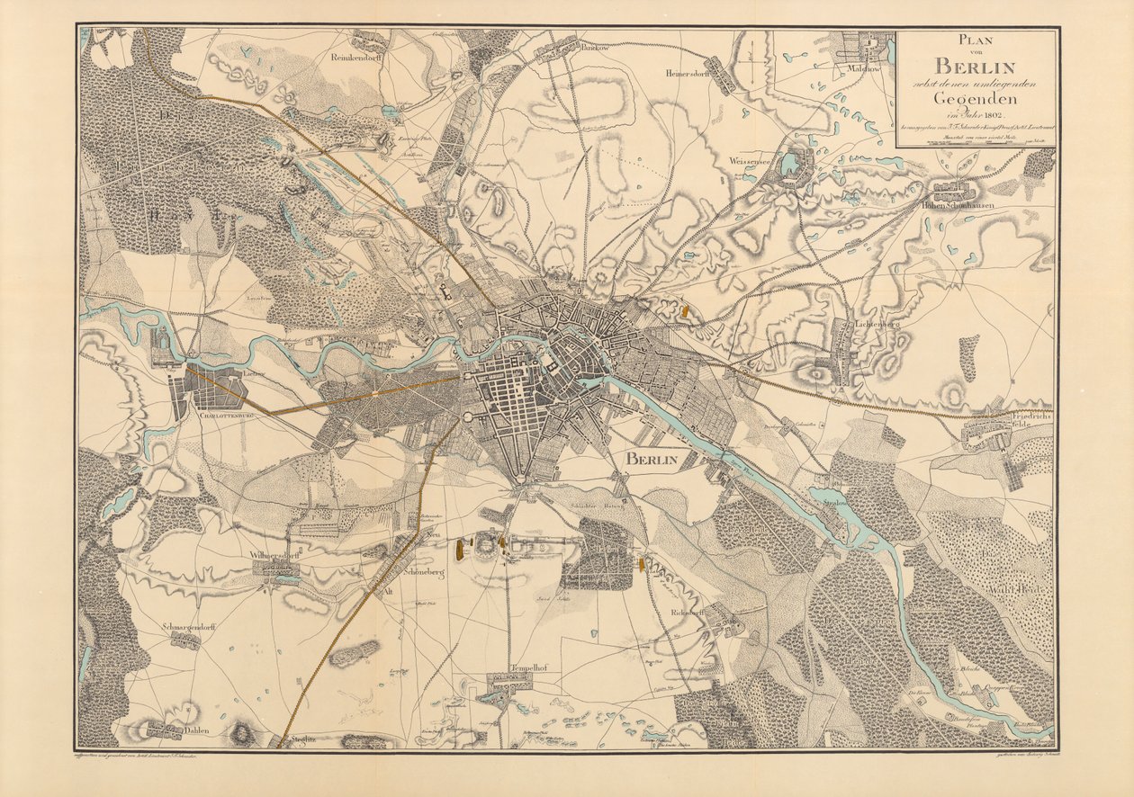
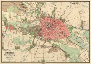
Map of Berlin, 1802 by F. Schneider

Map of Berlin, 1802

(Map of Berlin, 1802 )


F. Schneider

€ 150.18
Includes 13.5% VAT
   Configure art print
1802  ·  coloured engraving  ·  Image ID: 363911

Nonclassified artists  ·  Cartography

Map of Berlin, 1802 by F. Schneider. Available as an art print on canvas, photo paper, watercolor board, natural paper, or Japanese paper.
topography · berlin · city · plan · historical · river spree · mapping · cartography · geography · Germany · Private Collection / Bridgeman Images
AR/3D   View in 3D / AR zu Favoriten hinzufügen   Add to favorites    Change wall color    View picture in a room
0 Reviews

Configure art print

Picture Frame

Medium & Stretcher

Glass & Passepartout

Miscellaneous & Extras

 Save / compare configuration
Preview Icon

Summary

Gemälde
Veredelung
Keilrahmen
Museumslizenz

€ 150.18
(inkl. 20% MwSt)
   Add to cart

Bildschärfe: PERFEKT

If you'd like us to adjust the brightness, colors, or crop the image, we're happy to do this for you at no extra cost. Just get in touch!

Similar artworks selected for you

Geological Map of the City of Berlin Overview Map of the Development Plan of the Surroundings of Berlin Map of Berlin Center, from a travel guide Baedeker Map of Paris and Its Environs, Published by William Blackwood and Sons, Edinburgh & London Statistical Description and History of the Chuguev Uhlan Regiment Area around Berlin Siege of Lucknow, India, 1857 Situation Plan of Berlin with the Surrounding Area and Charlottenburg, Newly Surveyed and Drawn by Sineck Map of Aspern near Vienna Paris and its Environs, to illustrate the Battle of Paris, 30th March 1814 Map of Berlin, printed by the Royal Lithographic Institute, Berlin, 1857 The Map was Published in (1861) and Shows Christiania Plan of Rennes Paris and its Environs, to illustrate the Battle of Paris, 30th March, 1814, published c.1830s Plan of Berlin with Surroundings England, East coast, entrance to the River Humber surveyed by Captain G.E. Richards HM surveying ship Map of Petersburg, 1893 Plan of Berlin Taken and Drawn with Permission of the Royal Academy of Sciences by J.C. Selter Battlefield of Gettysburg Battlefield of Gettysburg Plan of the Royal Capital and Residence City of Munich in its Entirety Map from the National Library Map of Petersburg Map of St. Gerard Map of Paris and its Surroundings, from The Map is Published in (1839) and Shows Hamburg Map of the Siege of Paris, 1870-71, 1907 B3, Detail from Map of Ten Miles Around Leeds Map Showing Toll Bar House, Morris Lane, Kirkstall, West Yorkshire
Show more similar artworks

More motifs from the category Cartography

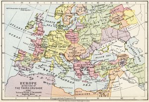
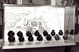
Map of the Turkish Empire, from the Mercator Atlas, published by Jodocus Hondius (1563-1612), Amsterdam, 1606 Map of Battersea & Chelsea, 1748 Plan of the Citadel of l Map of the world with possessions of the British Empire coloured red, c. 1870 Map of Europe and coasts of the North of Africa, 1587 Drawing for the map of the moon, 1794 Map of the mouth of the Chicago River, Illinois with the plan of the proposed piers for improving the harbour, 1830 Map of Bosnia with details of the areas occupied by minority ethnic groups, 1910 Map of Europe at the Time of the Third Crusade, 1190, from Geo-Hydrographic Mappamonde Map of the Battle of Trafalgar, published by William Blackwood and Sons, Edinburgh and London, 1848 Venetian Bombs and a Map of the City of Crete View of Quebec, cartouche of a map depicting St. Lawrence River from Sorel, 1699 Map of Cochin, India Map from
View More from "Cartography"

A selection of our top sellers

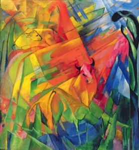
Animals in a Landscape, 1914 The Cave of the Storm Nymphs, 1903 The Terrace at the Restaurant Jacob in Nienstedten on the Elbe A Young Girl Defending Herself against Eros The Wild Hunt of Odin, 1872 The Lady with an Ermine Shichiri Beach in Sagami Province Sunset over Yalta The Pink Peach Tree, 1888 Hip Hip Hurrah! Artists Dance from the series The Arts, 1898 Nude Woman in Bed, c. 1914 The Bookworm View of Venice: The Ducal Palace, Dogana and Part of San Giorgio, 1841 The Isle of the Dead
Show more artworks


What our customers think about us


Frequently Asked Questions about Meisterdrucke


Personalizing your art print at Meisterdrucke is simple and intuitive: Choose a frame, set the image size, pick a printing medium, and add suitable glazing or a stretcher frame. We also offer additional customization options like mats, fillets, and spacers. If you have any questions, our customer service team is ready to help you create your perfect artwork.

At Meisterdrucke, you can visualize your configured artwork directly in your own room. Simply upload a photo of your space and see how the artwork looks in it. If you're visiting us on a mobile device — phone or tablet — our augmented reality feature brings the picture to life and projects it right into your room. A unique experience that combines art and technology.

Choosing the right medium is often a matter of personal taste. To give you a better idea, we've provided some images for each medium. We also offer a sample set of all paper variants, so you can decide not just visually but by touch as well. You can order the sample set free of charge — only shipping costs apply.

Don't worry! At Meisterdrucke, we don't just process orders mechanically. Every order is manually reviewed by our team. If we spot any inconsistencies or issues with your configuration, we'll get in touch with you right away. And of course, our friendly and patient support team is always here to help you with your configuration. We'll work with you by phone or email to adjust your image so the final result is exactly what you had in mind.


Still have questions?

Are you interested in an art print from our manufactory but still unsure? Do you need advice on choosing the medium or help with the order?

Our experts are happy to assist you.

+43 4257 29415
support@meisterdrucke.com

Mo-Do: 7:00 - 16:00 | Fr: 7:00 - 13:00

Still have questions?

Are you interested in an art print from our manufactory but still unsure? Do you need advice on choosing the medium or help with the order?

Our experts are happy to assist you.

+43 4257 29415
support@meisterdrucke.com
Mo-Do: 7:00 - 16:00 | Fr: 7:00 - 13:00


Meisterdrucke

   Kärntner Strasse 46
        9586 Finkenstein am Faaker See
        Austria
        +43 4257 29415
        support@meisterdrucke.com
Other languages

                   
Erfahrungen & Bewertungen zu Meisterdrucke
Post.at DHL Express Quehenberger Cargoboard
Kaiser Franz Joseph

Meisterdrucke
Kärntner Strasse 46
9586 Finkenstein am Faaker See · Austria
+43 4257 29415 · support@meisterdrucke.com
Post.at DHL Express Quehenberger Cargoboard


(c) 2026 meisterdrucke.ie