-
 ×
- Home
- Art Prints ▸
- Artists ▸
- Categories ▸
- Art Styles ▸
- Picture Frame ▸
- All decorative frames
- Baroque decorative frames
- Simple decorative frames
- Rustic decorative frames
- Floating frames
- Golden decorative frames
- Silver decorative frames
- White decorative frames
- Black decorative frames
- Wood-look decorative frames
- Shabby chic decorative frames
- Thin decorative frames
- Thick decorative frames
- Print Media ▸
- All print media
- Canvas Leonardo (satin)
- Canvas Salvador (matte)
- Canvas Raphael (matte)
- FineArt Photo Matte
- FineArt Photo Satin
- FineArt Photo Baryte
- FineArt Photo Glossy
- Watercolor Paper Munch
- Watercolor Paper Renoir
- Watercolor Paper Turner
- Watercolor Paper Dürer
- Natural Line Hemp
- Natural Line Rice
- Kozo White, 110g
- Kozo Natural, 110g
- Inbe White, 125g
- Unryu, 55g
- Bamboo, 110g
- Premio Unryu, 165g
- Murakumo Natural, 42g
- Bizan Natural, 300g
- Bizan White, 300g
- Aluminum composite 3mm
- Acrylic glass 5mm
- Order Sample Set
- Which print medium is right for you?
Canvas
Photo Paper
Watercolor Board
Natural Line
Japanese Paper
Special Media
More information
- Help & Service ▸
- Contact us
- Sell your art
- Frequently Asked Questions
- Job Openings
- Complaint
- Order Samples
- Order Vouchers
- Shipping costs
- Production time
- Sustainability
- Image research
- Special requests
- Who are we?
- Pricing policy
- Company policy
- Quality promise
- Awards
- Stretcher frame
- Mats
- Decorative frames
- Glazing
- Fillets
- Mounting systems
- Print media
- Care tips
- Legal Notice
- Terms & Conditions
- Privacy Policy
- Right of Cancellation
Info & Service
More information
Good to know
Legal information
- Shop ▸
- Contact





 View in 3D / AR
 Add to favorites
 Change wall color
 View picture in a room
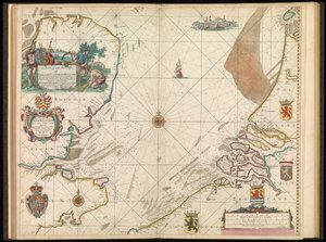
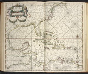
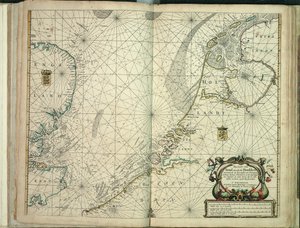
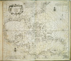
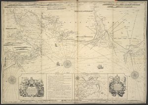
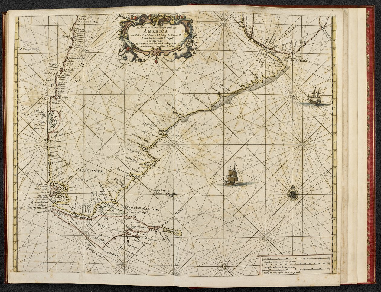
.jpg "The English pilot the first book: describing the northern navigation")
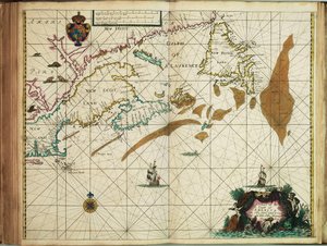
 published in Amsterdam 1683 (hand coloured engraving) - (MeisterDrucke-115315).jpg "America, plate 17 from")


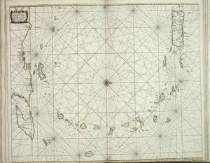
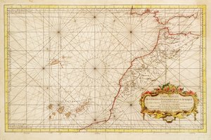
.jpg "Reduced Map of the Western Coasts of Africa")
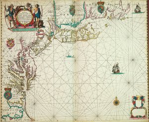
.jpg "Mouth of the Loire")
 - (MeisterDrucke-670164).jpg "Antique Map of the Channel, 1666")
.jpg "Map from the National Library")
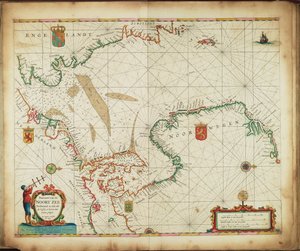
.jpg "New growing, graduated chart of the entire Black Sea extending from Asaff to Constantinople, indicating almost all the harbours, rivers and fortresses or strongholds found along the sea coast, from the most accurate survey t")
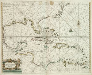
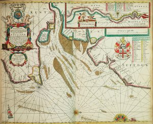
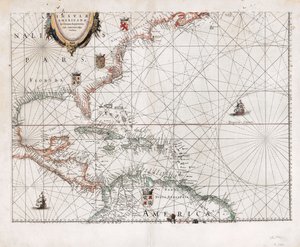
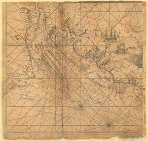
.jpg "Map of Maritime Greenland, Iceland, Davis Strait, Jan Mayen Island, and the Northern Coasts of Scotland and Ireland")
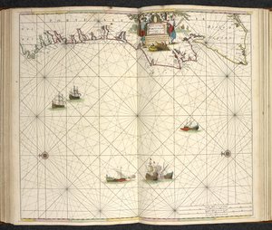
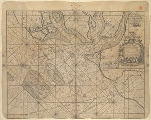
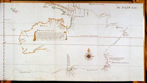
.jpg "Terrarum Orbis Tabula, after G. a Schagen. Published c. 1689")

.jpg "Plaque with a Chinoiserie Landscape and Gilt Details, c. 1680")
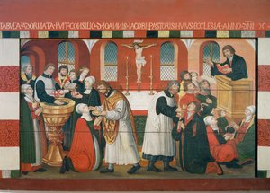

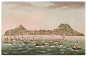

.jpg "Miracle of Our Lady of Nazaré. Our Lady of Nazaré Church (Largo Nossa Senhora da Nazaré). Portugal.")
 - (MeisterDrucke-103966).jpg "Map of the Magellan Straits, Patagonia")
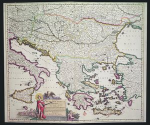
.jpg "King Alvaro I of Kongo receiving the Dutch ambassadors, an illustration from the")

.jpg "Portrait of the Dancer Aleksandr Sakharov")

.jpg "The Water-Lily Pond")
.jpg "The Magic Circle")
.jpg "Red Cavalry, 1928-32")
.jpg "Vitruvius, Luc Viatour")

.jpg "The Water Lily Pond in the Evening")
.jpg "Night: A Port in the Moonlight, 1748")

.jpg "The Butterfly Hunter")
.jpg "Childhood Friends")

 +43 4257 29415
 support@meisterdrucke.com
 Mo-Do: 7:00 - 16:00 | Fr: 7:00 - 13:00






